

Tel Aviv · The White City, Ayalon towers, campuses and Ben Gurion cargo

Indoor mapping in Tel Aviv, from the White City to the tower floor

Spatial Map turns a floor plan into a live, multi-floor 3D map that can show rooms, equipment, stock and sensor readings on the floor where they are. Indoor mapping in Tel Aviv starts from a city with three kinds of building side by side: low-rise Modern Movement blocks with paper drawings, glass towers with CAD or BIM models, and campuses and cargo sheds where equipment moves all day. One browser tab opens every one of them, and nothing is installed.

No credit card. Runs in the browser. Pro is $60/month for up to 4 facilities. Book a demo

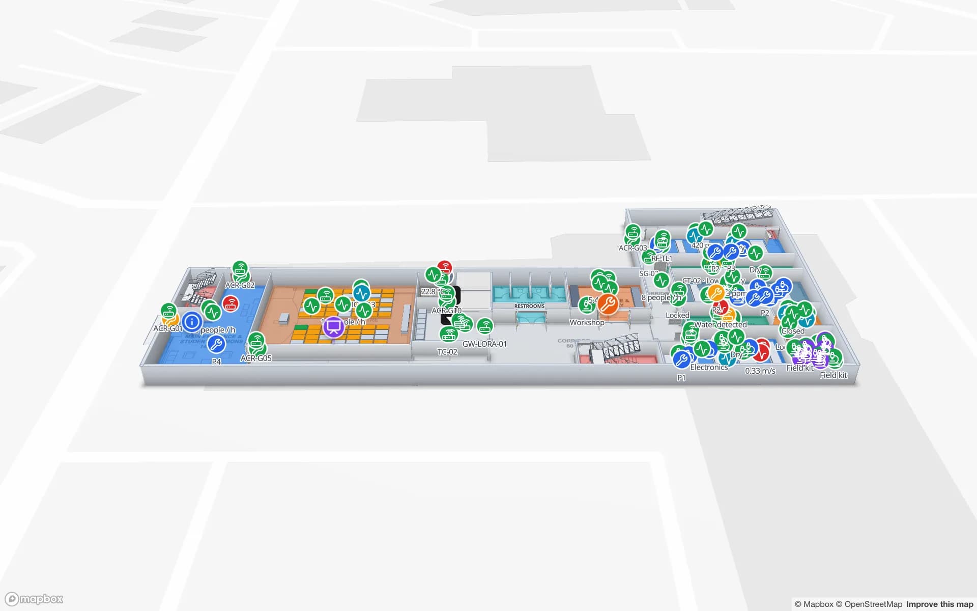
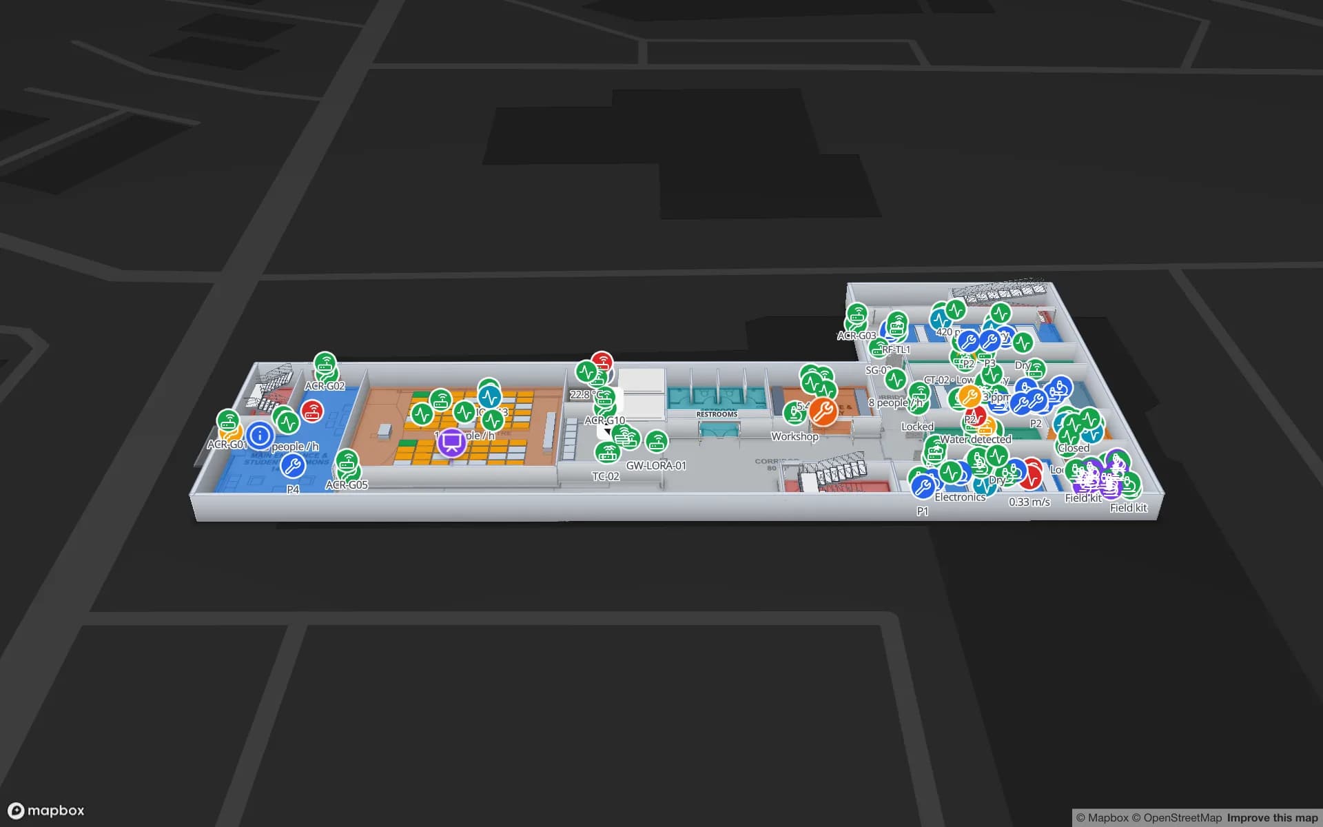
Harborview Corporate Campus — Building A, a corporate office building demo, in the Spatial Map 3D viewer with live device markers
Harborview Corporate Campus — Building A
Harborview Corporate Campus, a demo office building: the asset register, equipment check-out, stores and spares, work orders and meeting rooms on three floors.
Floors in the Harborview office demo
3
Floors in the Westbrook science-building demo
2
How often alert rules are checked, with alerts shown in the app
15 s
Free trial, up to 5 facilities, no card
7 days

The White City: buildings with paper drawings

UNESCO inscribed the White City of Tel-Aviv, the Modern Movement, on 5 July 2003. The area was built from the early 1930s to the 1950s on a plan by Sir Patrick Geddes, to designs by European-trained architects. The nominated core covers about 140 hectares, with a buffer zone around it, and the World Monuments Fund notes that a conservation plan was approved in 2007. Most of the buildings are small: low-rise residential, shop-and-office and mixed-use blocks, owned and managed in parts.

For a property manager, an office tenant or a small building company the practical problem is the drawing. Many plans are paper, a scan or a photograph. Upload the picture, align it at real size, and let AI Map draft walls, doors, rooms and stairs for a person to review. Add a table of units or equipment and colour rooms by status. Spatial Map does not decide what a heritage rule allows; it gives the owner a clean, shareable plan to discuss it with. See how to digitise a paper floor plan.
Towers along the Ayalon Highway

Tel Aviv’s main business centre became the area along the Ayalon Highway from the late 1970s. Israel’s first skyscraper, completed in Tel Aviv in 1965, held the national height record until 1999, and the Skyscraper Center lists a 54-floor tower completed in 2017. The Ayalon Highway runs along the city’s east side with five railway stations beside it, and the Red Line of the Tel Aviv light rail opened on 18 August 2023.

A tower is mostly vertical circulation: lifts, stairs, risers and plant floors, with tenants who change. The useful map is one that shows each floor with its meeting rooms, shared equipment, print and IT stores and service areas, and that routes a visitor from the lobby to a room. Spatial Map builds multi-floor routes through stairs, lifts and escalators, with a Step-free option and walking minutes, as in the Harborview demo. There is no blue-dot positioning of visitors; people follow the route and the map shows where assets and tagged equipment were last read. See indoor wayfinding.

Campuses and laboratories

Tel Aviv University has more than 30,000 students, and the city’s hospitals, colleges and company campuses add buildings with the same shape: teaching rooms with timetables, laboratories with shared instruments, stores with consumables and rooms that change use each semester. Draw each building as its own facility, rooms as areas that a table colours by timetable slot, and tag the instruments and carts that move between labs.

The Westbrook demo shows a two-floor science building with lab equipment bookings and lab environment readings; campus and office indoor mapping covers the general case. Spatial Map does not run timetabling or the university’s own systems; it shows the data they send. A read-only share link, with an expiry date and a view cap, lets a facilities contractor see one building without an account.

Ben Gurion and the air-cargo sheds

Ben Gurion Airport is the country’s main international gateway. It has a railway station on the lower level of Terminal 3, and its air cargo is handled in terminals that were, for years, run by a single operator until a second air-cargo terminal was tendered; Port2Port reported that the second terminal opened in June 2008. Around the airport are forwarders’ sheds and consolidation floors where a consignment’s pieces arrive from several flights, some with cold rooms.

Inside such a building the questions are about pieces and pallets: which build-up lane holds the rest of a consignment, which cold room is drifting warm, which ULD position is empty. A map of the floor with RFID reads at the doors and sensor readings in the cold rooms answers them. The Eastport demo shows 50 dock doors and 1,180 RFID pallets, and the post on airport baggage and cargo RFID walks through a terminal. Spatial Map does not connect to airport, customs or airline systems.

Services for teams in Tel Aviv

Where Tel Aviv teams usually start:

  • Property managers and office tenants usually begin with indoor maps and a shared-equipment asset tracking register.
  • Campuses and laboratories tend to begin with asset tracking for instruments and carts, with rooms coloured from the timetable.
  • Airport-side forwarders and warehouses usually start with inventory tracking at dock doors and build-up lanes, then add temperature readings for cold rooms.
  • RTLS and UWB matters mainly for large halls where equipment and people must be located continuously; most buildings do not need it first.
  • If you have no tags or readers yet, our team can source RFID and BLE devices on request, quoted per project, with warranty and device support from the manufacturer: see hardware and demo kits on request. Many Tel Aviv companies have in-house developers; where a team has none free, our team builds custom software as client projects. The product runs as cloud or on-premises.

Also served nearby

The same approach covers Ramat Gan, Givatayim, Herzliya, Petah Tikva, Holon and Bat Yam. Nothing needs to be installed at any of them: the map opens in a browser.

How Spatial Map does it

From a drawing to a shared map

  1. 01

    Start with what you have

    A CAD or BIM export as PDF or DWG, a scan, or a photographed paper plan, aligned to real size.

  2. 02

    Let AI Map draft

    Walls, doors, rooms, stairs and lifts are drafted for a person to review and correct.

  3. 03

    Add data to rooms and assets

    A table of rooms, tenants or equipment from your system or a spreadsheet, colouring areas by status.

  4. 04

    Share a route or a link

    Turn-by-turn routes with a step-free option, and read-only links with expiry for contractors and owners.

What Tel Aviv teams map first

Office floors and shared equipment

Rooms, stores and spares, meeting rooms and the asset register on each floor.

Campus laboratories

Lab rooms with their instruments and environment readings.

Conference and exhibition halls

Halls, session rooms and crews on event days.

Air-cargo and forwarder sheds

Dock doors, build-up lanes and RFID pallets, with cold rooms by live temperature.

See it on real demo facilities

Fictional names, real floor plans, live sensors, RFID, BLE tags and gateways — open any of them in the browser.

All 13 demo facilities

Indoor mapping in Tel Aviv: questions we get

Yes. Photograph or scan the plan and align it at real size, or sketch the outer walls and photograph the sketch. AI Map can draft from the picture, and you correct what it gets wrong. Our services team can also do the mapping remotely for a fixed price. Spatial Map does not advise on heritage or planning rules.

No. The interface is in English, Arabic, French, German, Spanish or Chinese; Hebrew is not available. Room names, tenants and report titles that you type can be in Hebrew and appear as written, and each user picks their own interface language.

Export the floors you need from your CAD or BIM tool as PDF or DWG (AutoCAD R2004–R2018, placed as a picture) and upload them. The plan is then drawn as walls, doors, rooms, stairs and lifts in 3D. Spatial Map does not import BIM models directly.

Not as a blue dot. Routes are turn-by-turn, with a step-free option, and tagged equipment or staff can appear by zone where your BLE or RTLS system reports them. It never computes positions from signal strength itself.

Yes. A read-only share link can lock the floor and choose the layers, with an expiry date and a view cap. Four built-in roles plus custom roles control who can edit.

No. Spatial Map is sold online and our team works with customers in Israel remotely, by video call and through the contact form. There are no local resellers or partners.

In US dollars, the same worldwide: a 7-day free trial for up to 5 facilities with no card, then Pro at $60 a month or $600 a year for up to 4 facilities.

Map one Tel Aviv floor before your next tenant move.

Start the free trial and open the Harborview demo, or send us the plan of a floor, a campus building or a cargo shed through the contact form.






