India · Indoor maps, positioning and navigation

Indoor mapping in India for malls, airports and campuses

Spatial Map does indoor mapping in India for the buildings people get lost in: multi-level malls, new airport terminals, sprawling tech parks and university campuses. It builds a multi-floor 3D map from your drawings, routes visitors across floors through stairs, lifts and escalators, and shows live crowding, assets and positions from the RTLS you choose — in a browser, with nothing for visitors to install.

No credit card. Runs in the browser. Pro is $60/month for up to 4 facilities. Book a demo

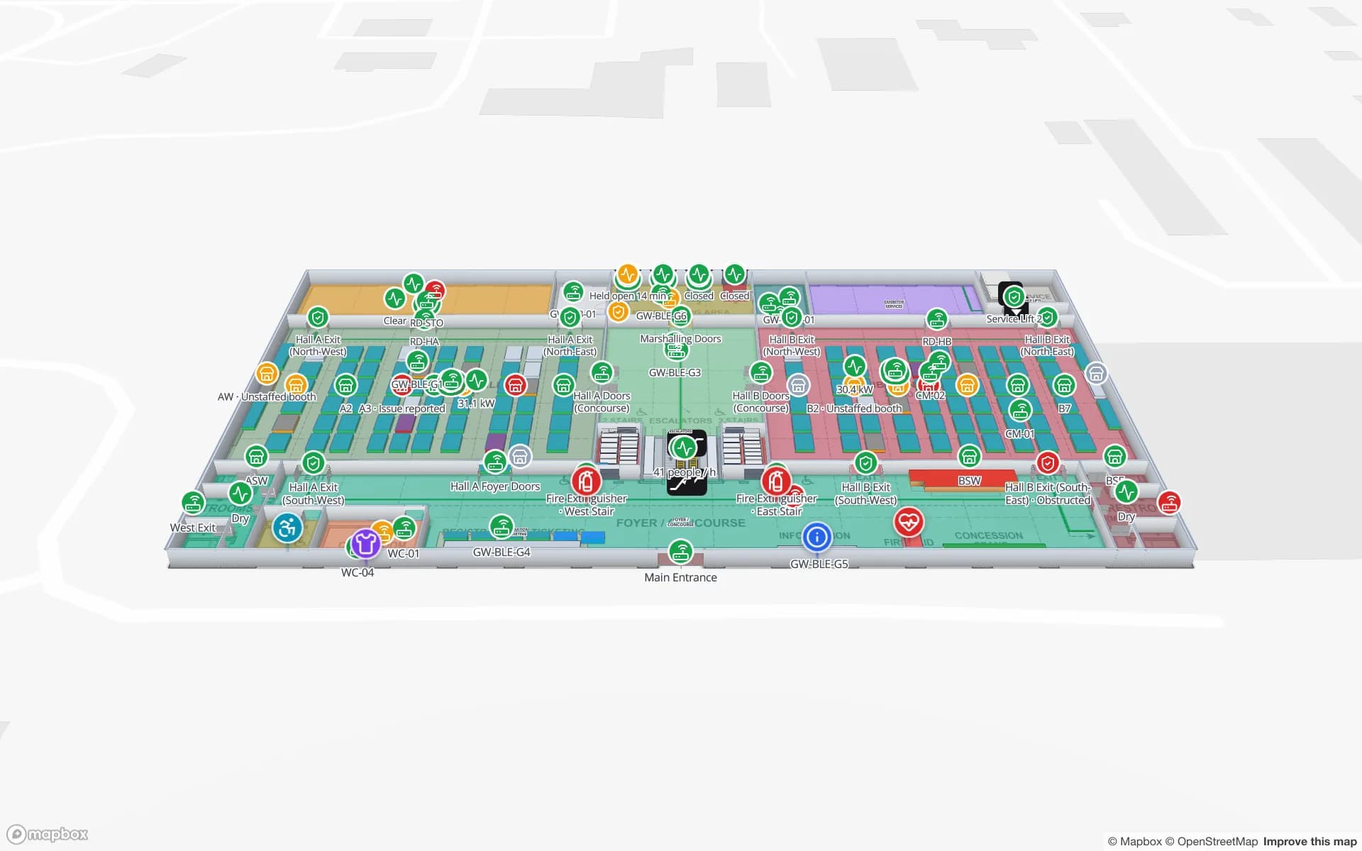
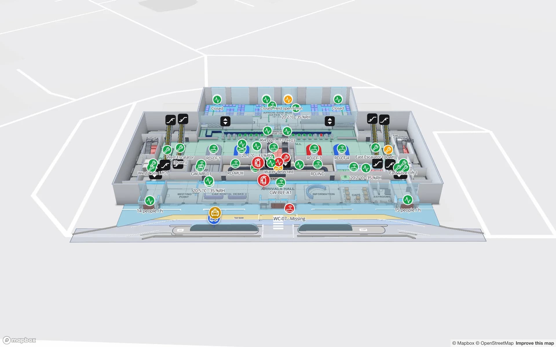
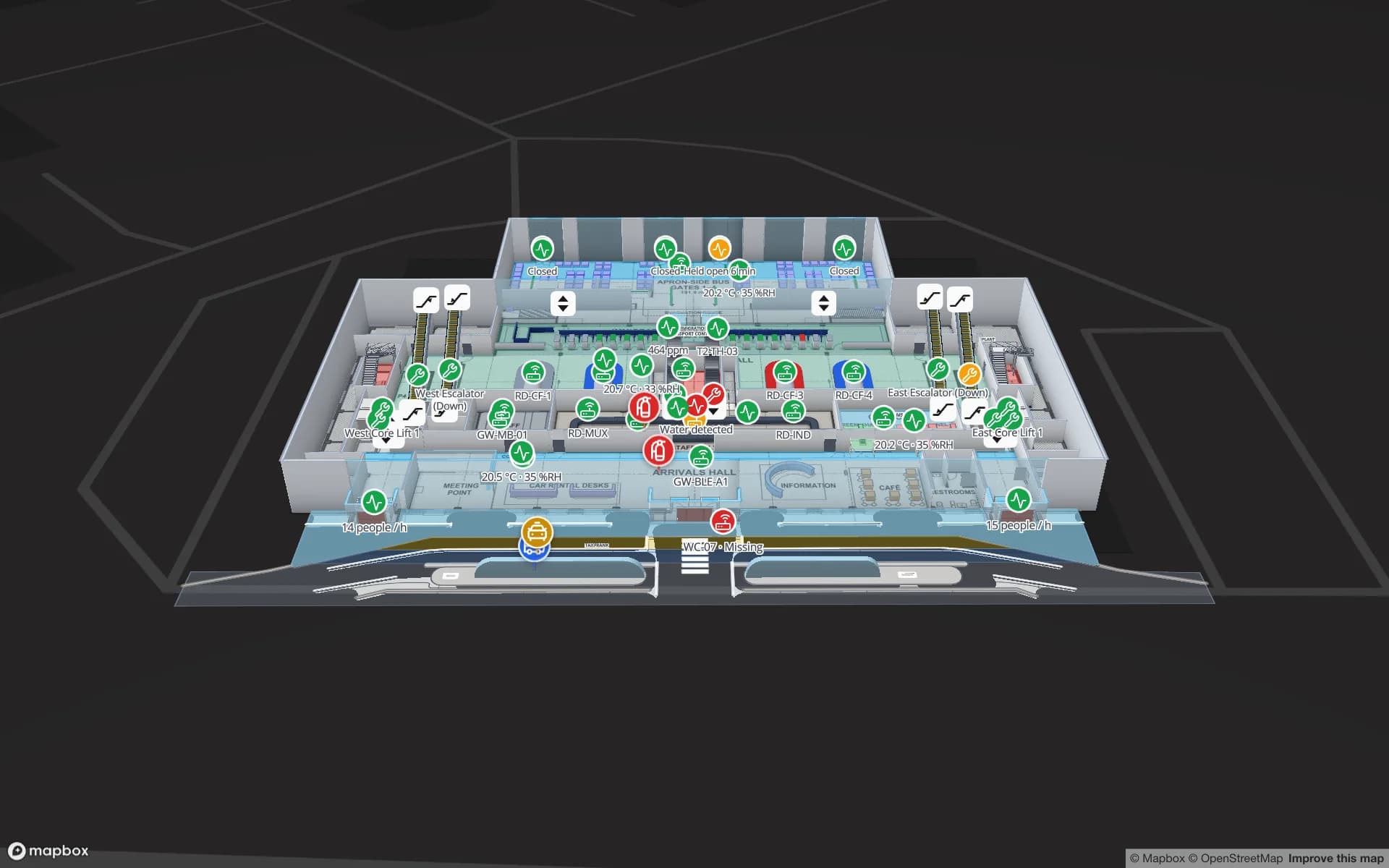
Silverbay International Airport — Terminal 2, a airport terminal demo, in the Spatial Map 3D viewer with live device markers
Silverbay International Airport — Terminal 2
Silverbay International Airport Terminal 2, a demo terminal: check-in, security, immigration, gates, carousels and retail across two floors, with live crowding.
Terminal floors in the Silverbay demo, joined by lifts and escalators
2
Route options: fastest, step-free and another route
3
Seats in the Crown Park stadium demo
30,513
Apps for visitors to install
0

Map, positioning and navigation are three different jobs

Searches for an “indoor positioning system” in India often mix up three things. The indoor map is the building drawn as data: floors, rooms, shops, gates, lifts. Positioning is working out where a person or asset is, from BLE beacons, UWB anchors or Wi-Fi. Navigation is the route from here to there.

Spatial Map builds the map and does the navigation. It does not do the positioning: it has no blue dot for visitors and does not compute positions from BLE signal strength. If you run an RTLS for staff, trolleys or equipment, the positions it writes to a table appear on the map as live markers with history. Our RTLS software and BLE asset tracking pages explain that split.
Malls in the metros and beyond

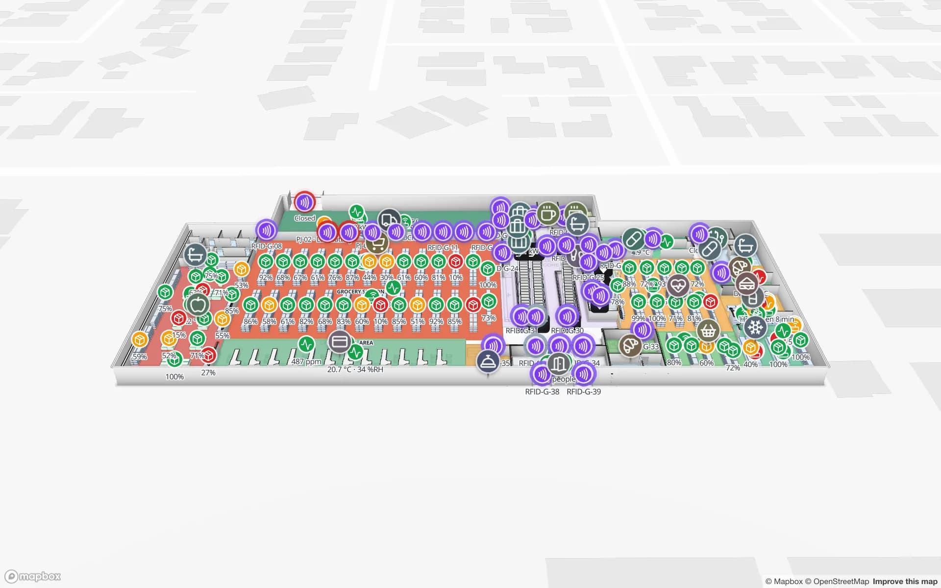
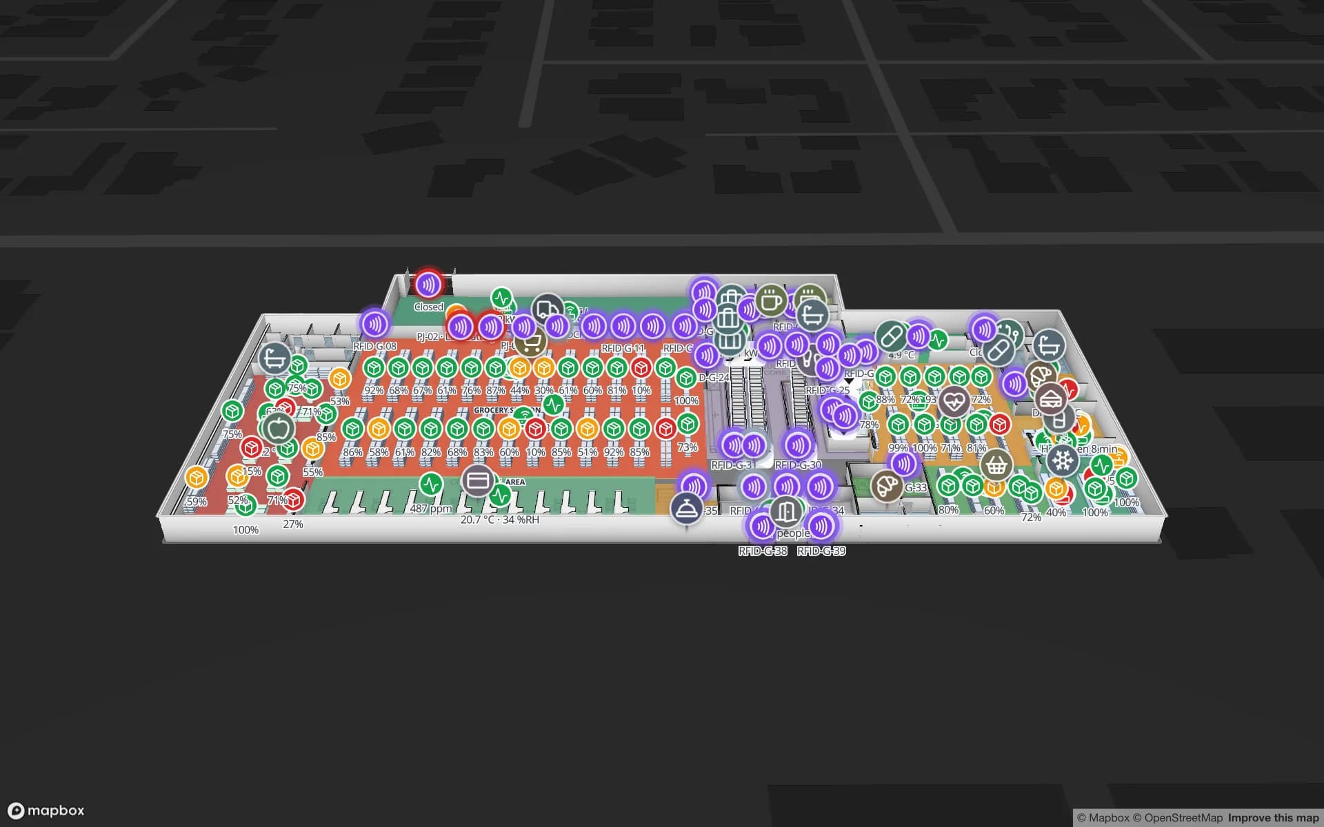
Indian malls are big and layered: basement parking, a hypermarket, fashion floors, a food court, a multiplex at the top. Shoppers want the store, the toilet and the lift to their parking level; mall management wants service corridors, loading bays, vacant units and footfall by entrance.

Both live in one facility. A public share link shows shops, amenities and routes, and expires when you choose; the operations team keeps internal layers with footfall counters as a heatmap that stops at walls and closed doors. See shopping mall indoor mapping and the three-floor Retail Mart demo.

Airport terminals, new and expanded

India has opened new terminals and whole new airports in the last few years, and each one has a period where even staff are learning the building. A map that ground handlers, retail tenants and contractors open on a phone shortens that period.

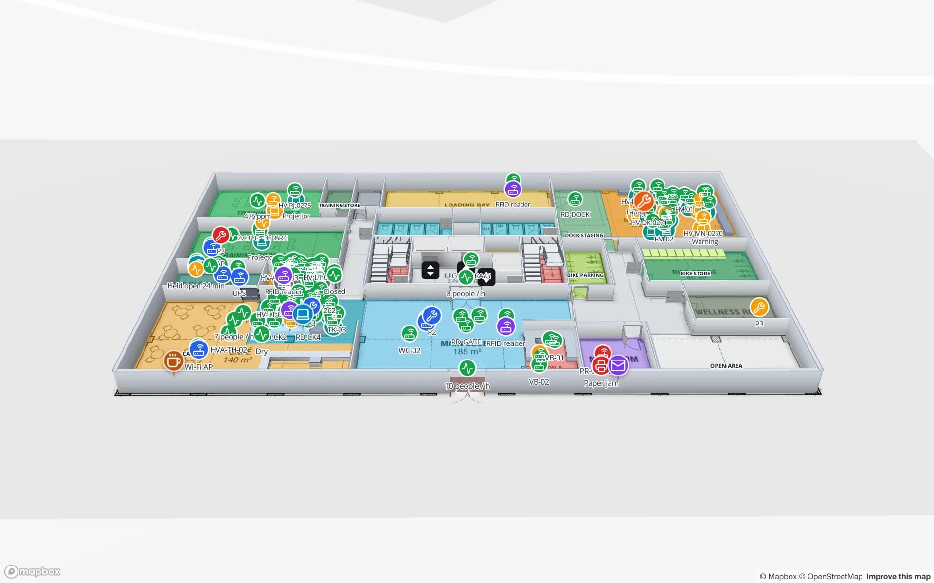
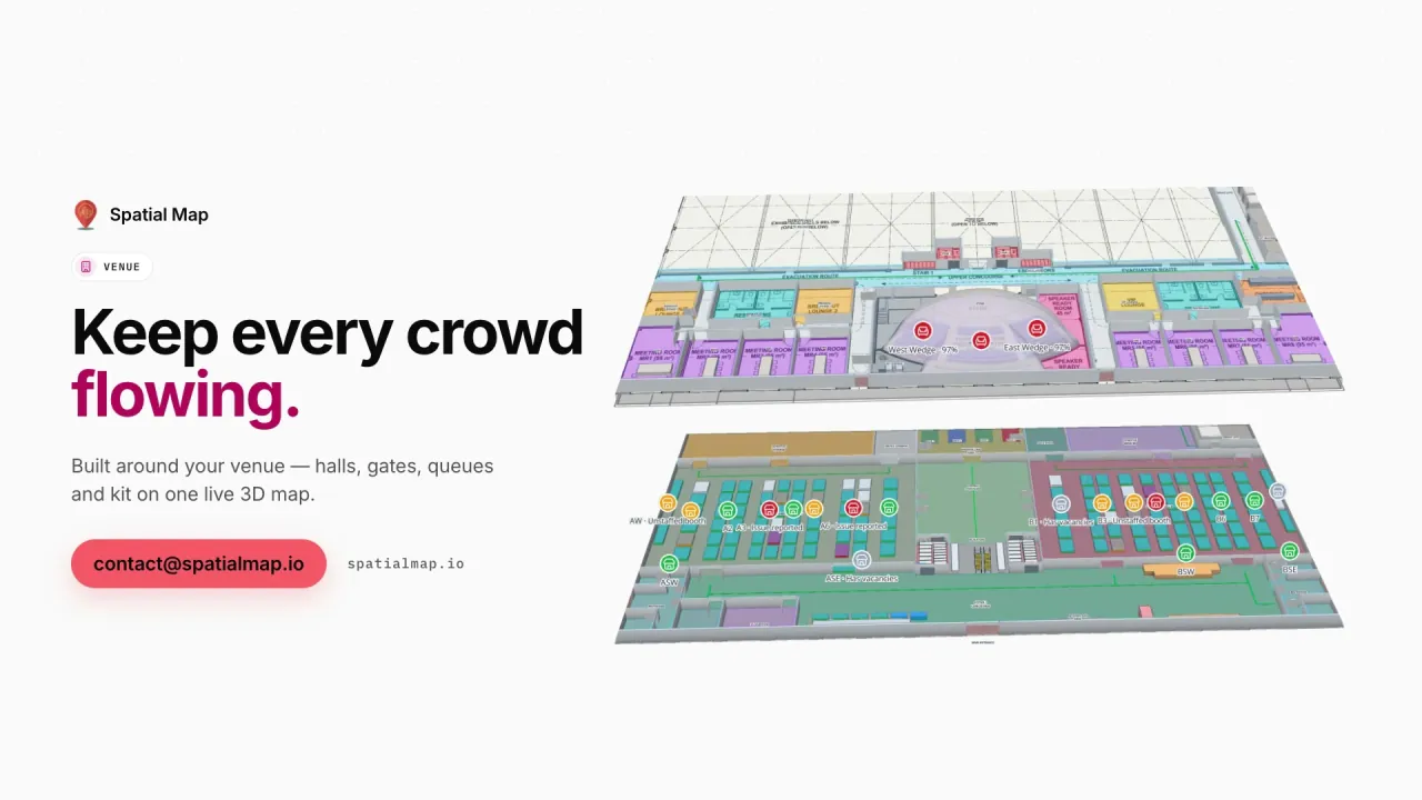
The Silverbay demo shows the operations side: check-in islands, security lanes and immigration booths coloured by throughput, gates by departures, carousels by arrivals and terminal zones by crowding, across two floors with lifts, escalators and jet-bridges. More on airport indoor mapping.

Tech parks and university campuses

A tech park can be a dozen towers with shared food courts, gyms and parking; a university can be fifty buildings on one site. Each building becomes a facility in one workspace, each floor its own level, and a solution groups them so the estates team sees the whole campus.

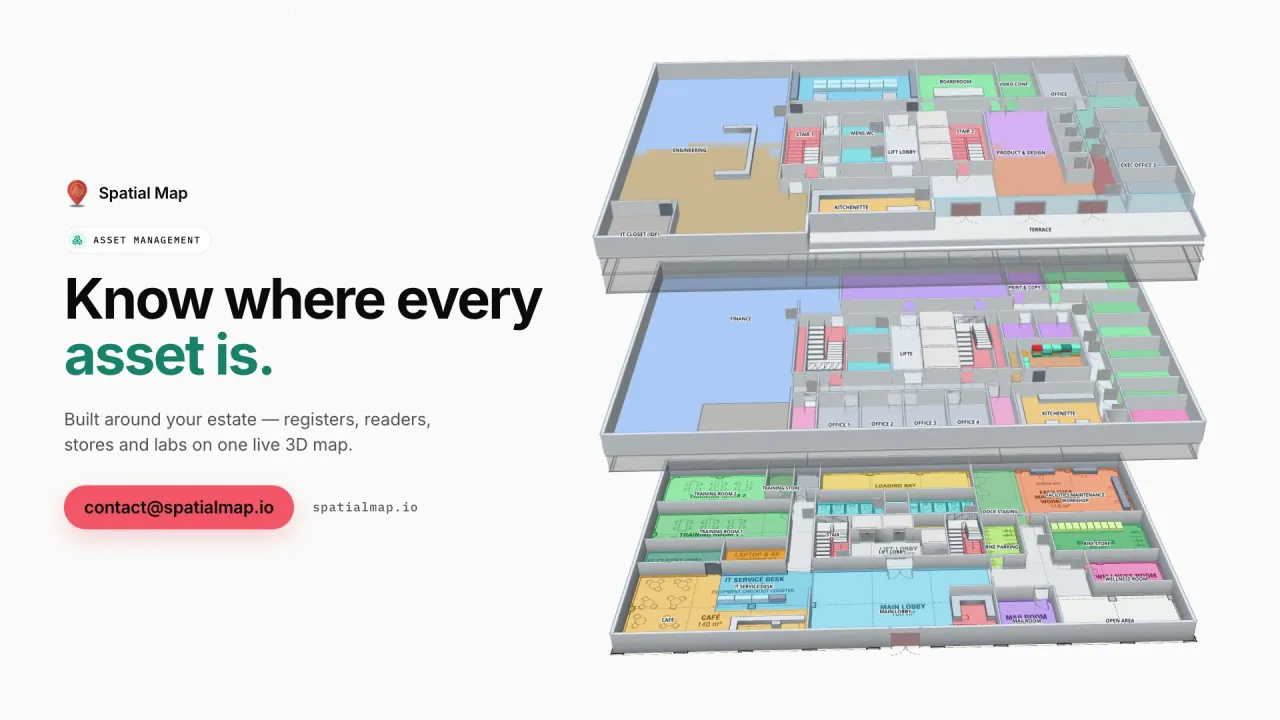
Inside, rooms carry live data: meeting-room bookings and the asset register in the three-floor Harborview demo, lab equipment and chemical stores in Westbrook University. For open days and induction weeks, a share link routes new students and visitors from the gate to the lecture theatre.

Step-free routes and accessibility

The Rights of Persons with Disabilities Act, 2016 made accessibility part of how public buildings in India are planned. Spatial Map’s wayfinding helps make what already exists visible: routes run across floors through stairs, lifts and escalators, with Fastest, Step-free and Other route options, turn-by-turn steps, walking minutes and the floor changes on the way.

Draw and name accessible toilets, ramps, lifts and accessible entrances, and they become destinations and route points. The map shows the building; whether the building meets an accessibility standard is for your architect and auditor. See the wayfinding and lifts and escalators docs.

Starting from the drawings you have

Indian projects often hand over a PDF set from the architect and a DWG only for newer blocks. Spatial Map places a DWG (AutoCAD R2004–R2018) at true size, matches a PDF to its sheet size and scale, and sizes a scan to the building’s real dimensions. On an aligned plan, AI Map drafts walls, doors, labels, areas, stairs, lifts and escalators for you to review. The general workflow is on indoor mapping software.

How Spatial Map does it

From architect’s drawings to a public venue map

  1. 01

    Upload each floor

    Basement to roof, one PDF, DWG or scan per level, aligned on top of each other.

  2. 02

    Draft and name

    AI Map drafts the layout; you name shops, gates and rooms the way signs show them.

  3. 03

    Connect lifts to routes

    Stairs, lifts and escalators link floors so routes and step-free options work.

  4. 04

    Publish by audience

    A public link for visitors, internal layers with live data for operations.

Indoor maps Indian teams build

Malls and department stores

Shops, food courts and parking levels, with footfall heatmaps for management.

Airport terminals

Check-in, security, gates and carousels coloured by live load.

Tech parks and offices

Towers as facilities, meeting rooms and assets on each floor.

Universities

Teaching rooms, labs and equipment bookings, with routes for visitors.

Convention and exhibition centres

Halls, booths and session rooms bound to each show’s layout.

See it on real demo facilities

Fictional names, real floor plans, live sensors, RFID, BLE tags and gateways — open any of them in the browser.

All 13 demo facilities

Indoor mapping in India — frequently asked questions

No. It is the indoor map and the navigation. Positioning comes from a BLE, UWB or Wi-Fi system you choose; its positions are written to a Spatial Map table and appear as live markers. There is no blue dot for visitors.

Yes. Routes run through stairs, lifts and escalators, with Fastest, Step-free and Other route options, turn-by-turn steps and walking minutes. They work in the viewer and on share links in any phone browser.

No. A share link opens in the phone’s browser with the floors and layers you choose. There is no Spatial Map mobile app.

Not from Spatial Map: there is no IMDF or Apple Maps export. The map lives in Spatial Map and is shared by link or embedded where you choose.

It depends on floors and detail. A clean DWG per floor plus AI Map drafts can give a first version of a floor in an afternoon; naming every shop and gate takes longer. Our services team can do the digitising for a fixed price.

Pro is $60 a month or $600 a year for up to 4 facilities, after a 7-day free trial for 5 facilities with no card. Prices are in US dollars only.

Turn one floor of your building into a live map.

Start the free trial and open the Silverbay and Retail Mart demos, or send us the drawings for one floor through the contact form.