India · Delhi, Gurugram, Noida, Ghaziabad, Faridabad

RFID and indoor mapping in Delhi NCR for warehouses, airports and malls

Spatial Map handles RFID and indoor mapping in Delhi NCR on live 3D maps in the browser. The capital region is north India’s distribution centre: warehouses along NH-48 and in Gurugram, Ghaziabad and Noida, inland container depots that stand in for a seaport, India’s busiest airport and a new one at Jewar, and some of the country’s largest malls. Summers past 45 °C and smoggy winters add their own questions about temperature and air.

No credit card. Runs in the browser. Pro is $60/month for up to 4 facilities. Book a demo

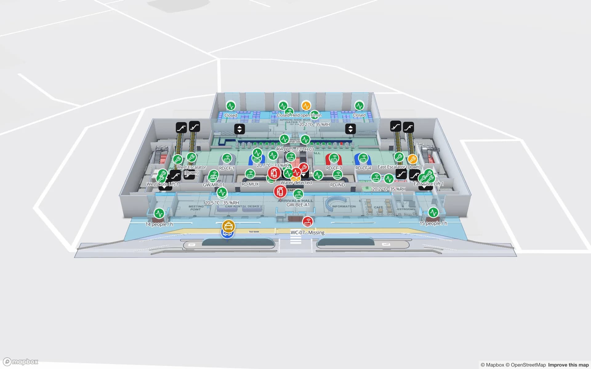
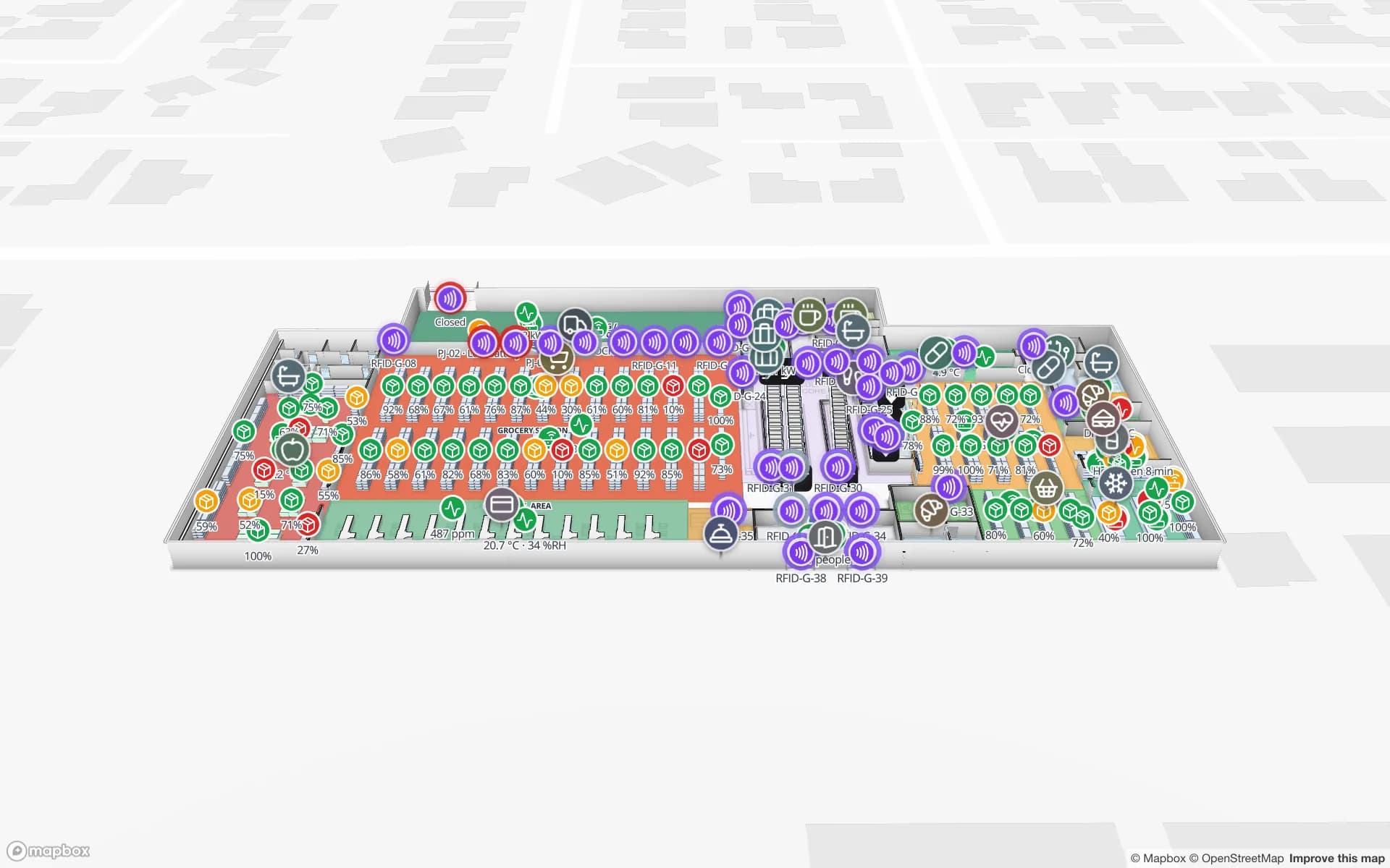
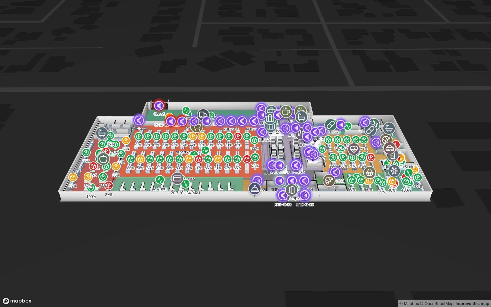
Retail Mart Store, a three-floor retail store demo, in the Spatial Map 3D viewer with live device markers
Retail Mart Store
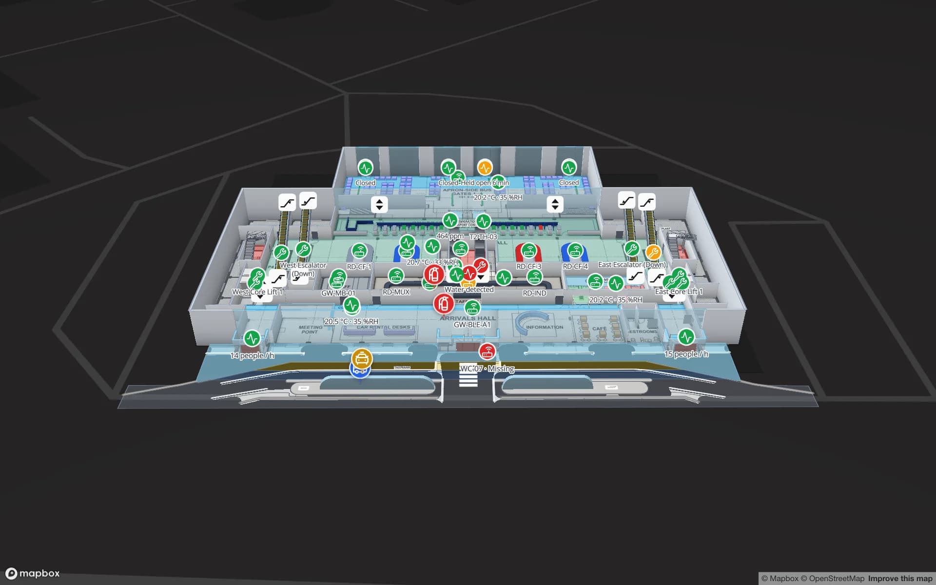
Retail Mart, a three-floor demo store: escalators and lifts, 85 RFID readers at the exits, shelf and department stock, fridge sensors and BLE trolleys.
RFID readers in the Retail Mart demo store
85
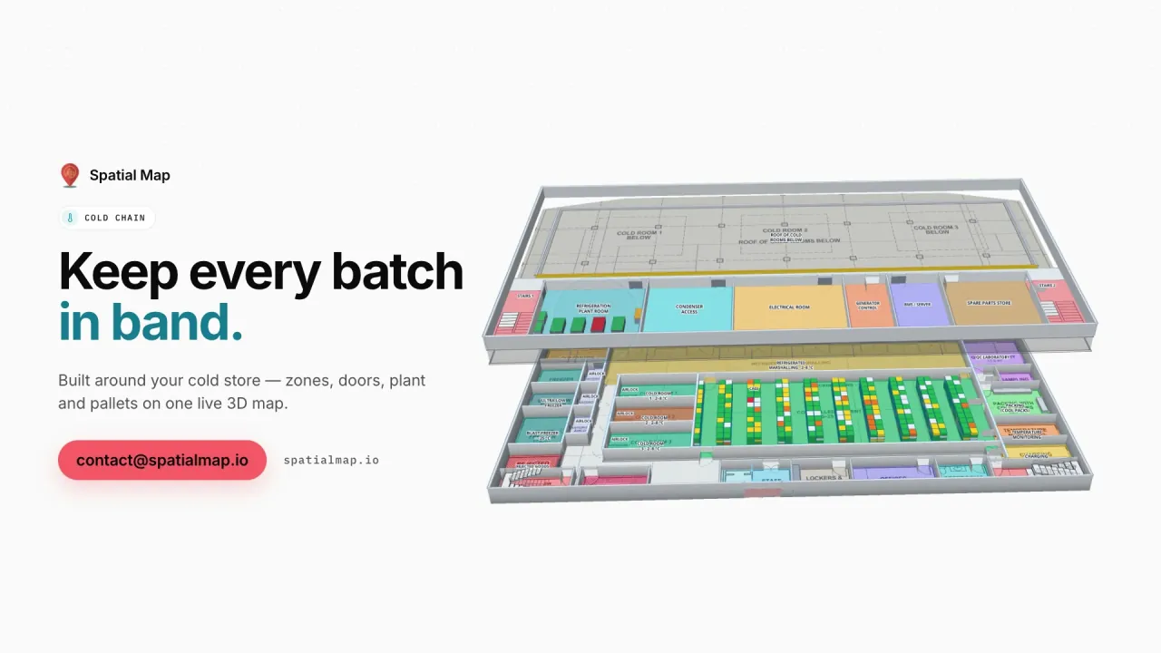
Rack locations in the Polar Pharma cold-store demo
1,140
NCR passenger airports: DEL and, since June 2026, Noida (Jewar)
2
Floors in the Retail Mart demo
3

Gurugram, NH-48 and the eastern belt

Most of the region’s Grade-A warehousing sits along NH-48 towards Jaipur — Gurugram, Farukhnagar and beyond — with further clusters in Ghaziabad and Noida to the east and Faridabad–Palwal to the south. Many sites lie outside Delhi’s limits partly to avoid the city’s daytime restrictions on goods vehicles, so the timing of truck arrivals matters as much as stock.

A warehouse map here shows racks by bin, dock doors by appointment and RFID cartons by read point, with trucks in the yard as live markers. An alert can flag a dock with nothing scanned for an hour during the night window, in the app. RFID warehouse management explains the dock-door pattern in general.
A landlocked capital with inland container depots

Delhi has no seaport, so containers come by rail to inland container depots. ICD Tughlakabad is widely described as India’s largest, and the multimodal hub at Dadri in Greater Noida is linked to the Dedicated Freight Corridor towards the western ports. Import boxes are cleared and de-stuffed there or at freight stations nearby before goods move to warehouses across the region.

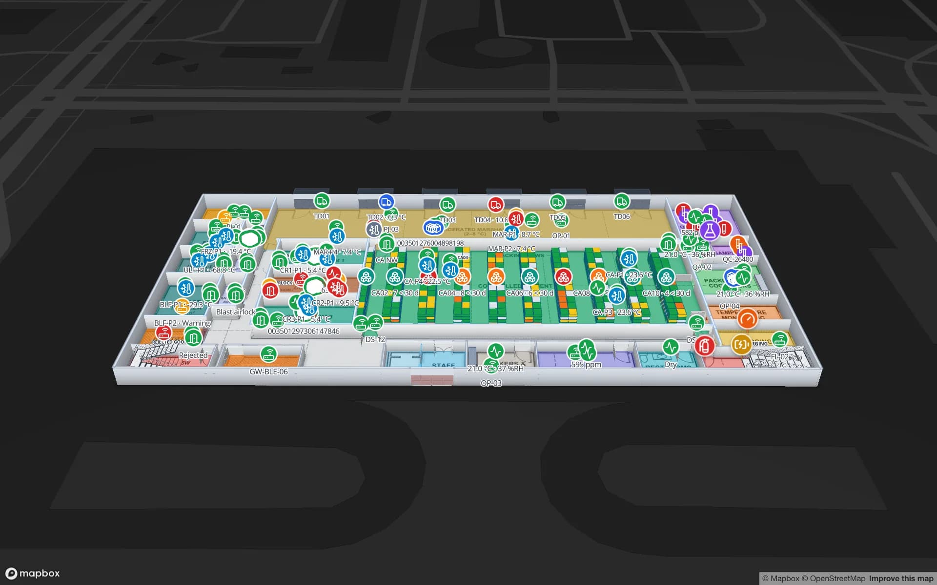
Inside a depot shed or a bonded warehouse, the map shows bays, examination areas and pallets by container, from your own WMS and reads. The Eastport demo shows the layout of a busy cross-dock with yard slots and a weighbridge.

DEL, and a second airport at Jewar

Indira Gandhi International Airport (DEL) is India’s busiest airport by passengers and a major cargo hub. Noida International Airport at Jewar, in Gautam Buddh Nagar, began commercial flights in June 2026. Ground handlers, caterers, retail tenants and cargo agents now staff two airports on opposite sides of the region, and new staff need a map of a building they have never seen.

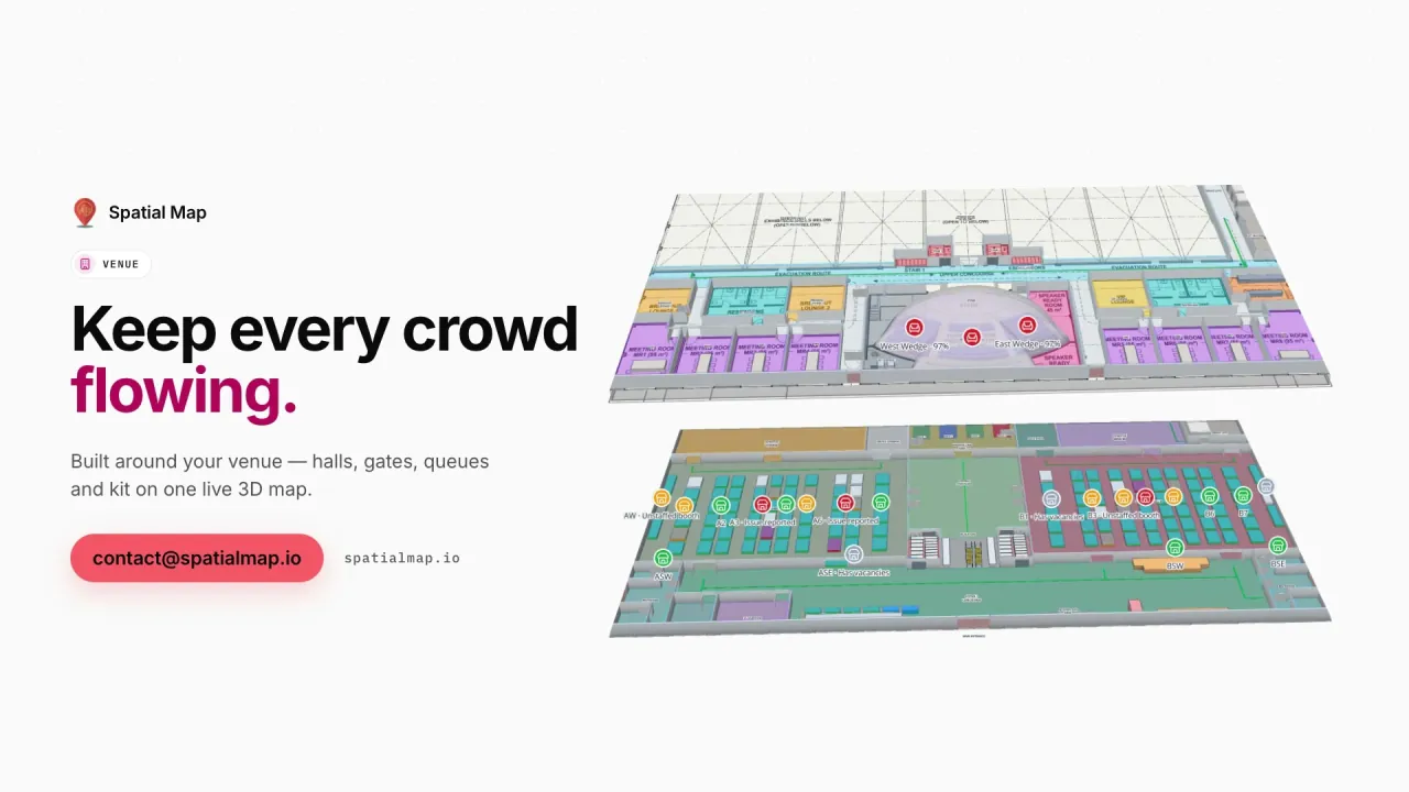
A share link opens a terminal map in any phone browser, with routes across floors by lift, escalator or stairs and a step-free option. The operations team keeps check-in, security and gate zones coloured by live load, as in the Silverbay demo.

NCR’s large malls

Gurugram, Noida and South Delhi have some of India’s largest malls, with several retail floors, food courts, entertainment zones and deep basement parking. Their operations teams juggle footfall by entrance, housekeeping, fit-outs in vacant units and lifts out of service.

Footfall counters at entrances become a heatmap that stops at walls and closed doors; vacant units, lifts and service corridors sit on internal layers; shoppers get a public link with stores and routes. In the Retail Mart demo, three floors are joined by an escalator core, with RFID readers at exits and BLE-tracked trolleys.

Summer heat and winter air

Delhi summers regularly pass 45 °C, which tests every cold room, reefer dock and pharmacy warehouse in the region, and winter brings smog that makes indoor air quality a facilities question in offices and malls.

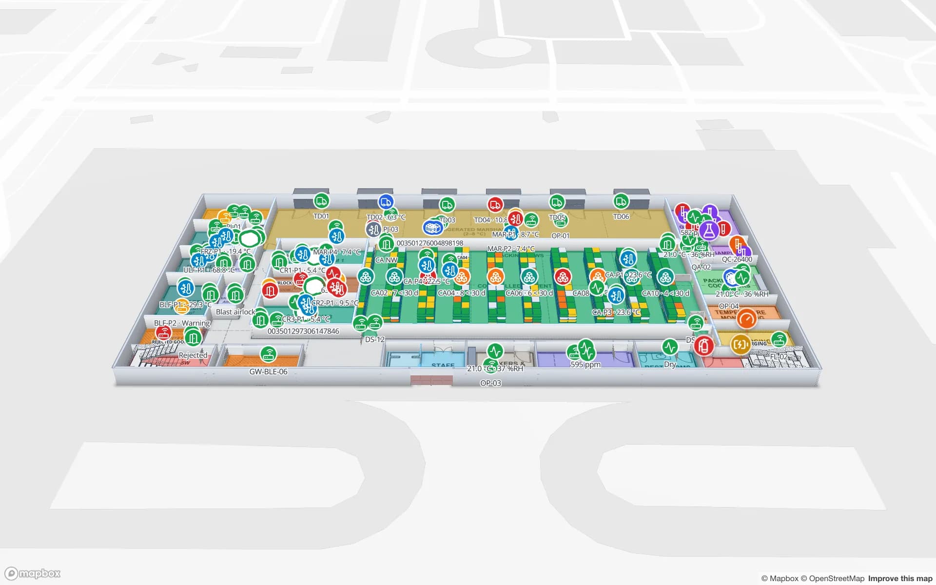
Temperature probes in cold rooms colour each room by its live reading, and an alert fires when a room is outside its band for more than a set number of minutes; the Polar Pharma demo shows 8 temperature zones and 1,140 rack locations. Air-quality sensors in offices and malls can be shown the same way, as coloured rooms or a heatmap. The sensors and their accuracy are your choice; Spatial Map shows what they report. See IoT sensor floor plan monitoring.

How Spatial Map does it

Mapping an NCR site

  1. 01

    Choose the site

    A Gurugram DC, a cold store near Ghaziabad, a mall floor or a terminal concourse.

  2. 02

    Upload and draft

    Plans per floor, AI Map drafts the walls, doors and racks, your team reviews.

  3. 03

    Connect docks, probes and counters

    RFID reads, temperature probes and footfall counters post rows to tables.

  4. 04

    Alert on the night window and the heat

    In-app rules for silent docks and rooms out of band, with Show on map.

What NCR teams track

NH-48 and Gurugram warehouses

Bin stock, dock appointments and RFID cartons on one map.

Cold stores in the summer peak

Rooms coloured by temperature, with alerts and held pallets.

Mall operations

Footfall heatmaps, vacant units, lifts and a public shopper map.

Airport terminals

Zones by live load and routes for staff new to the building.

See it on real demo facilities

Fictional names, real floor plans, live sensors, RFID, BLE tags and gateways — open any of them in the browser.

All 13 demo facilities

Questions from Delhi NCR teams

Yes. Facilities are not tied to a state or city; a Gurugram DC, a Noida cold store and a Delhi mall can sit in one workspace and be grouped into one solution for shared reports.

Yes, from your own probes. Each room is coloured by its live reading, an alert fires in the app when a room stays out of band, and the row history can be replayed and exported for your QA file. Spatial Map makes no compliance claim.

If your air-quality sensors send their readings to a table or a REST endpoint, yes: rooms can be coloured by value or shown as a heatmap. Spatial Map does not supply or calibrate sensors.

No. Visitors open a map with stores and routes — across floors, with a step-free option — but Spatial Map does not position the visitor. Staff or trolley positions can appear if your RTLS sends them.

No. Spatial Map is sold online in US dollars, with no NCR office or partner, and we work with customers remotely. Pro is $60 a month or $600 a year for up to 4 facilities after the 7-day trial.

Map an NCR warehouse, mall or cold store.

Start the free trial, or send a floor plan and a day of dock, probe or footfall data through the contact form.