Platform · Operations digital twin

Digital twin software for buildings, built for daily operations

Spatial Map is digital twin software for buildings that mirrors what is happening inside them: sensor readings, RFID reads, stock levels, asset locations and work orders bound to the rooms, racks and doors of a 3D map. It is an operations twin — live state, history, alerts, reports and plain-language questions — not a physics simulation.

Last updated:

No credit card. Runs in the browser. Pro is $60/month for up to 4 facilities. Book a demo

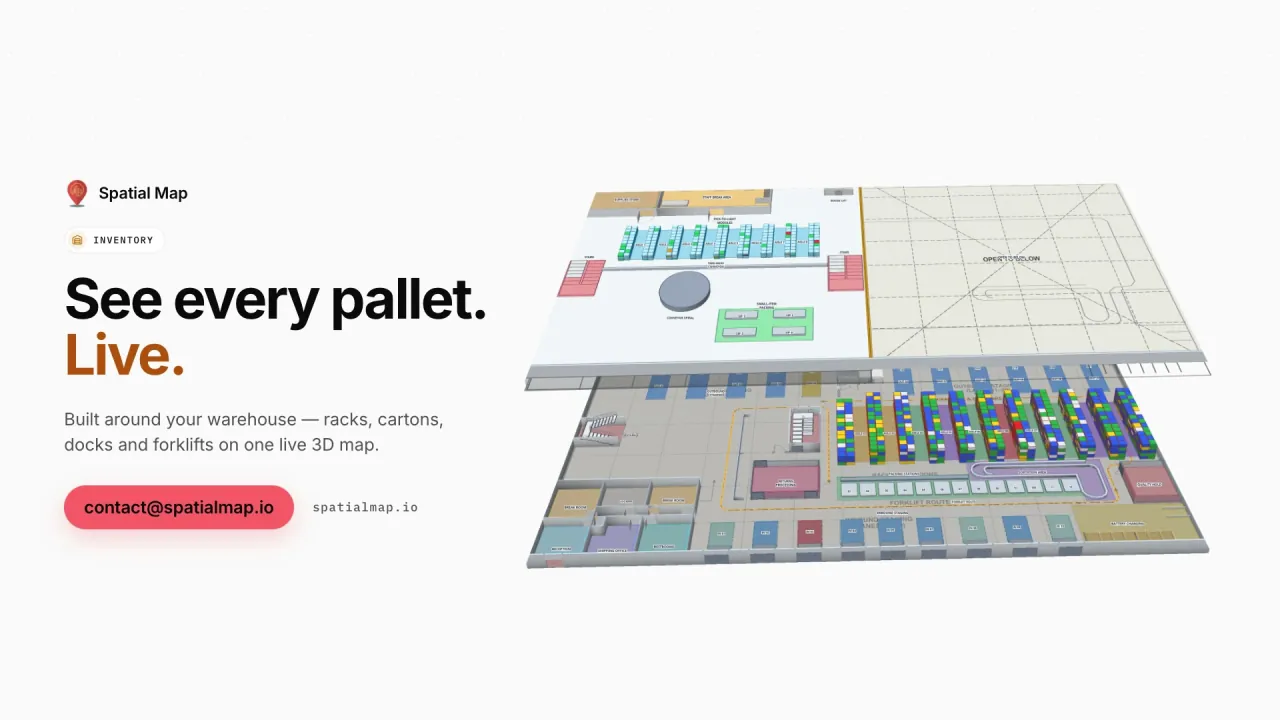
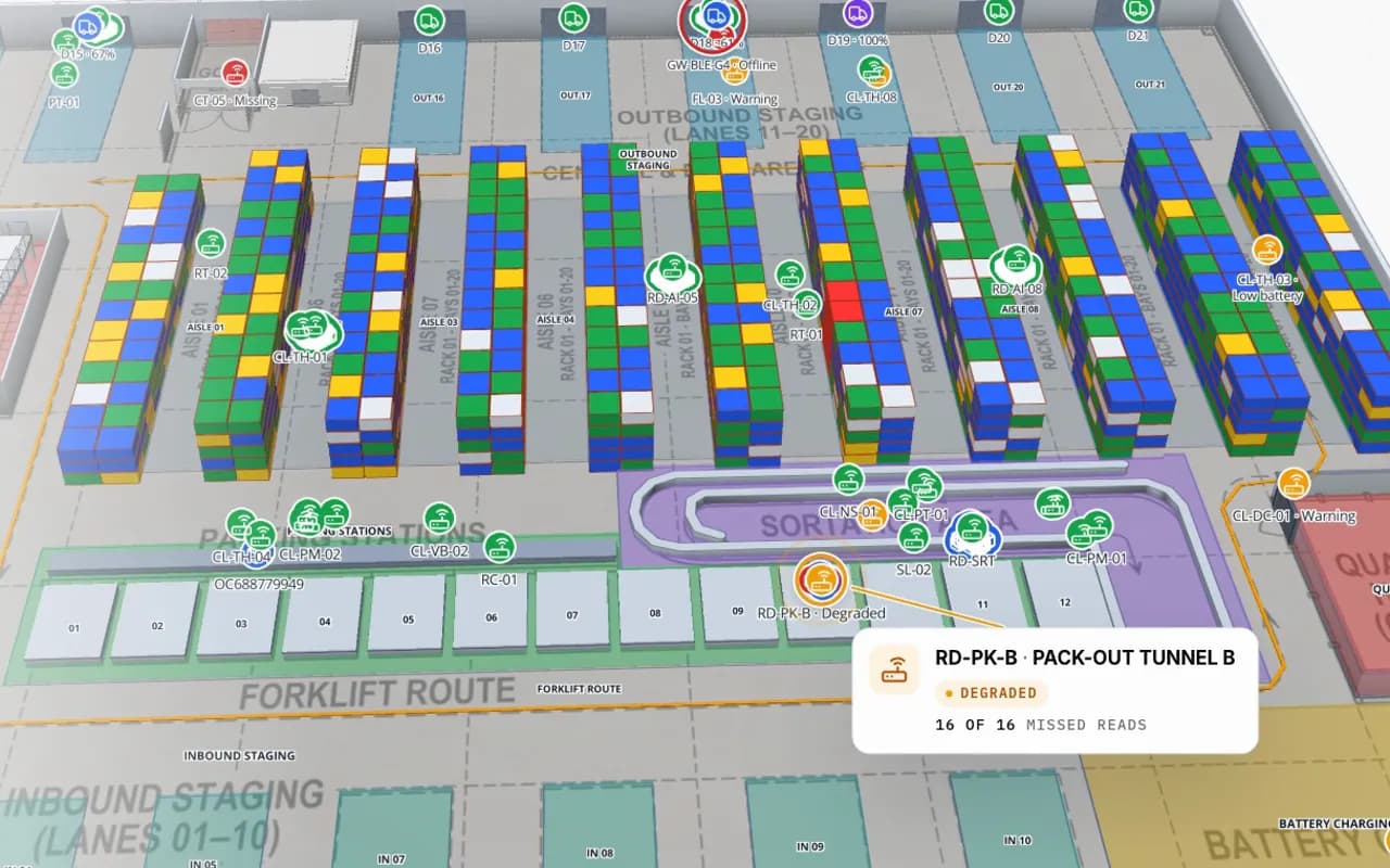
Crestline Fulfillment Center in 3D: racks coloured by stock status, RFID carton markers moving between readers and a pack-out tunnel reader showing missed reads
Crestline Fulfillment Center
Crestline Fulfillment Center (demo): RFID cartons move between pack-out, sortation and staging while each rack location keeps its stock colour.
Demo facilities with live device data
13
How often alert rules are checked
15 s
Report export formats: PDF, Excel, CSV, JSON
4
Free trial, no credit card
7 days

Two meanings of “digital twin”

The term covers two different products. A simulation twin is a model that predicts: airflow, energy use, structural loads, or throughput under a layout that does not exist yet. An operations twin mirrors the building as it is now, from the data it already produces, so the people running it can see and act.

Spatial Map is the second kind. Knowing which one a project needs saves months; the guide to choosing digital twin software has a checklist.
What the operations twin does

On top of a 3D indoor map of the building:

  • Live state — tables bound to shapes with data links; style rules colour racks, rooms and doors by status.
  • History playback — every change to a row is kept, and the History player replays a table’s movements on the map (row history).
  • Alerts — rules per table such as “matches for N minutes”, “not updated for N minutes” or a count over a threshold, checked every 15 seconds, shown in the app with Show on map.
  • Reports — built-in reports per facility plus your own, exported to PDF, Excel, CSV or JSON, or shared as a read-only link.
  • Ask AI (beta) — plain-language questions about the open facility, answered from its tables with links that show the items on the map.
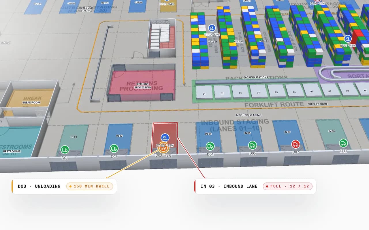
Crestline Fulfillment Center dock doors in 3D: door D03 unloading with a long dwell time and inbound lane IN 03 full, next to the rack area
Crestline Fulfillment Center
Crestline Fulfillment Center (demo): a dock door unloading for 150 minutes and a full inbound lane flagged next to the racks they feed.

Where the data comes from

The twin reads from the systems you already run: WMS stock, RFID and BLE middleware, sensor gateways, BMS points, CMMS work orders. Rows arrive through CSV or Excel uploads, REST polling on a schedule, or a table’s write API. See IoT sensor monitoring and RFID asset tracking software for the device side.

It is read-only towards those systems. Spatial Map does not write back to your WMS or ERP, start equipment or change set points, and alerts are delivered in the app — not by email, SMS or push.

Where a simulation tool fits better

If the question is “what would happen if…”, a simulation tool is the right choice:

  • Layout and throughput what-ifs — discrete-event simulation of a new racking layout or shift pattern.
  • Airflow and cooling — CFD for a data hall or a cold store.
  • Energy performance — building energy modelling for a retrofit.
  • Design and construction — BIM coordination before the building exists.
  • Machine behaviour — physics-based twins of a single asset.

Smart buildings in Dubai and the Gulf

Gulf governments have published smart-city and digital-government programmes, Dubai’s among the best known, and “digital twin” now appears in many building and facility requirements in the region. Before choosing a tool, ask which kind is meant: a design or energy model for the building, or a live view of how it runs.

For the operations side, check what your teams will need day to day: an Arabic interface (Spatial Map’s is fully right-to-left), browser access for control rooms and contractors through expiring read-only links, and data from the sensors and RFID already installed. Spatial Map does not claim certification against any specific programme or standard. Local context is on indoor mapping in Dubai and the UAE.

Twins for each kind of building

The same platform runs every twin in the demo workspace: the warehouse digital twin, the manufacturing digital twin, cold stores in the cold-chain solution, and stadiums and terminals in the venue operations map. If you are weighing a twin against your WMS, read warehouse digital twin vs WMS.

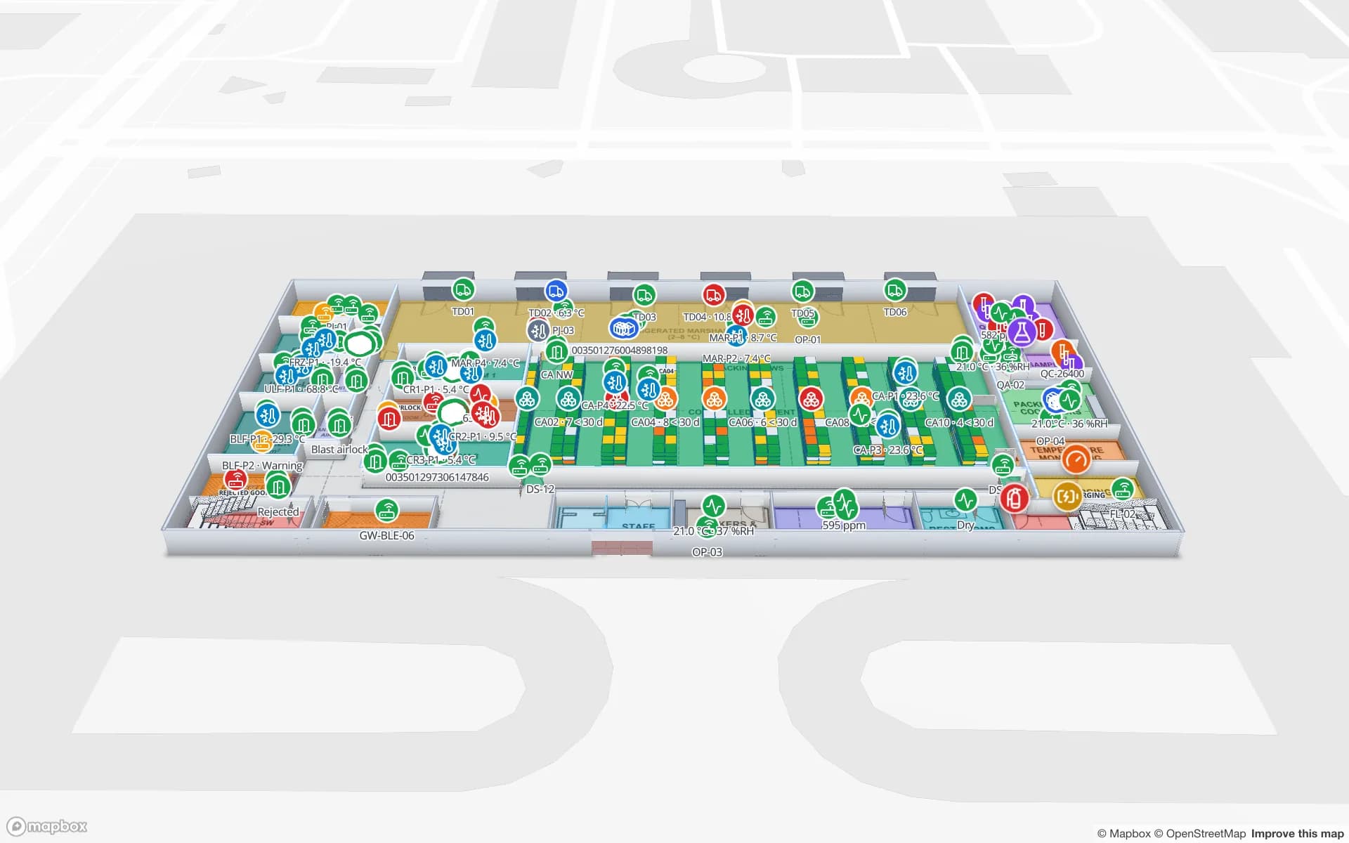
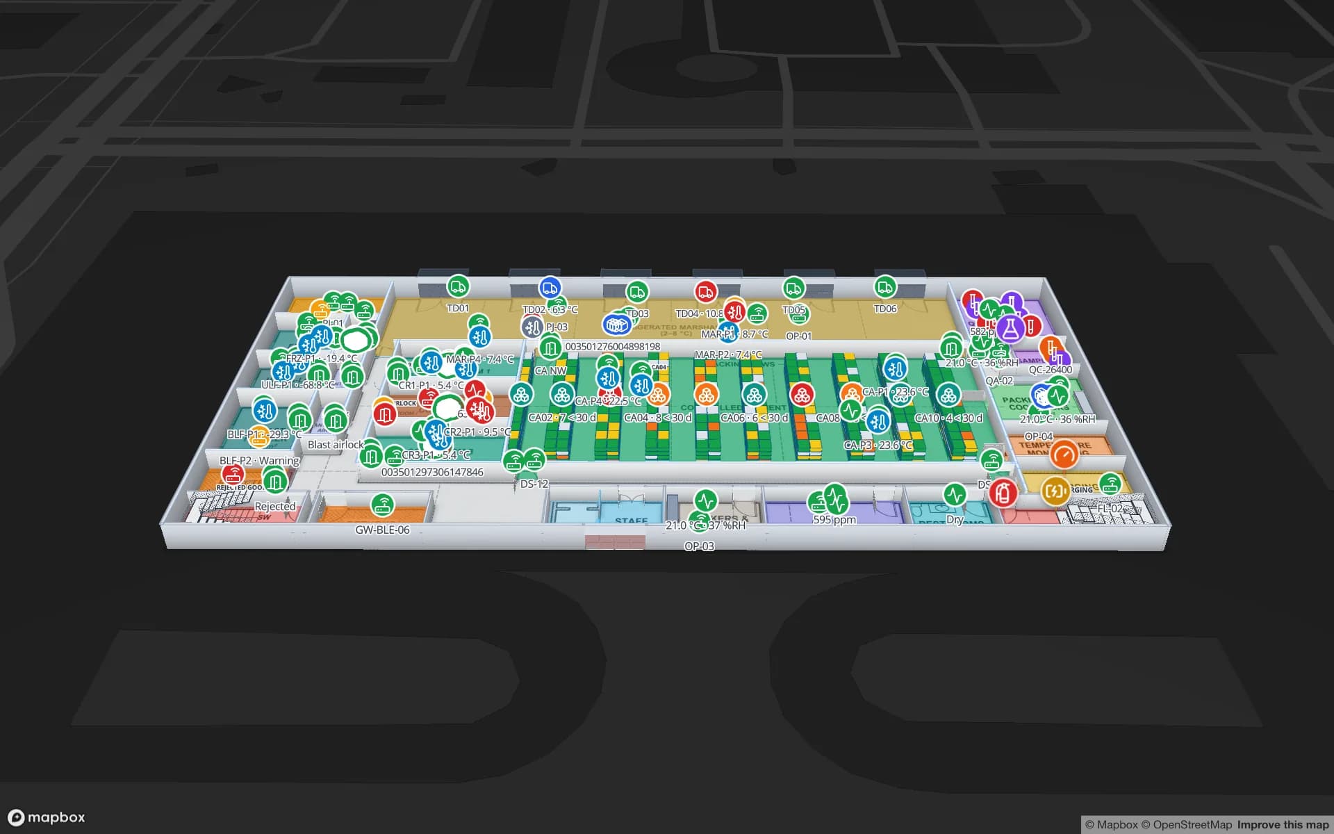
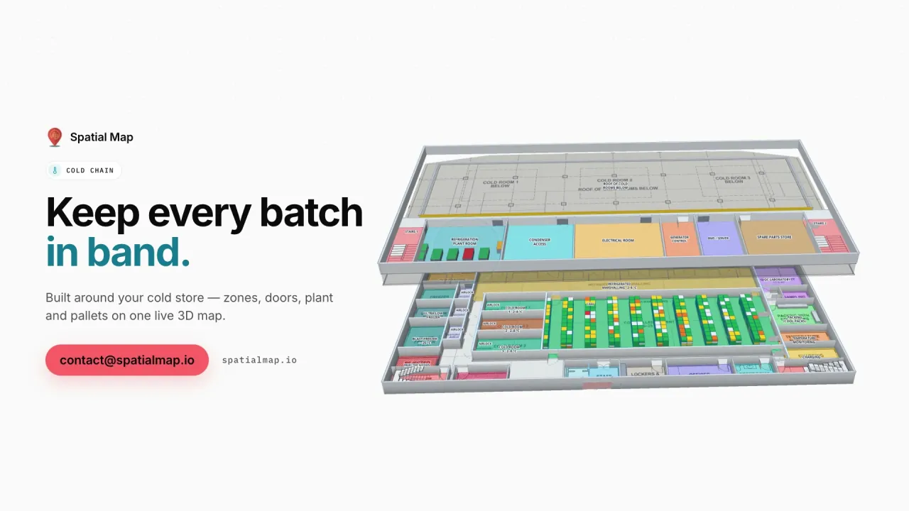
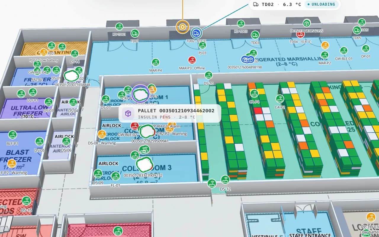
Polar Pharma cold store in 3D: cold rooms, freezers and pallet locations coloured by status, with an insulin pallet and a dock-door reading called out
Polar Pharma — Cold Storage & QC Facility
Polar Pharma (demo): cold rooms, freezers and pallet locations by status, with a pallet read at a dock door and its temperature.

Operations twin vs simulation twin

Operations twin (Spatial Map)Simulation twin
Question it answersWhat is happening now, and what happenedWhat would happen if…
InputsLive rows from sensors, RFID, WMS and CMMSModels, parameters and scenarios
OutputColoured shapes, alerts, reports, answersPredictions and scenario results
Built and kept byOperations teams, in the browserSimulation or engineering specialists
Changes whenThe data changesSomeone re-runs the model
How Spatial Map does it

An operations twin in four steps

  1. 01

    Map the building

    Import floor plans and draw or draft the shapes. See floor plan to indoor map.

  2. 02

    Connect the data

    Create tables and fill them by upload, REST polling or the write API.

  3. 03

    Set the rules

    Style rules colour the map; alert rules flag what needs attention.

  4. 04

    Share and report

    Read-only links for each team, reports for the record.

Operations twins in the demo workspace

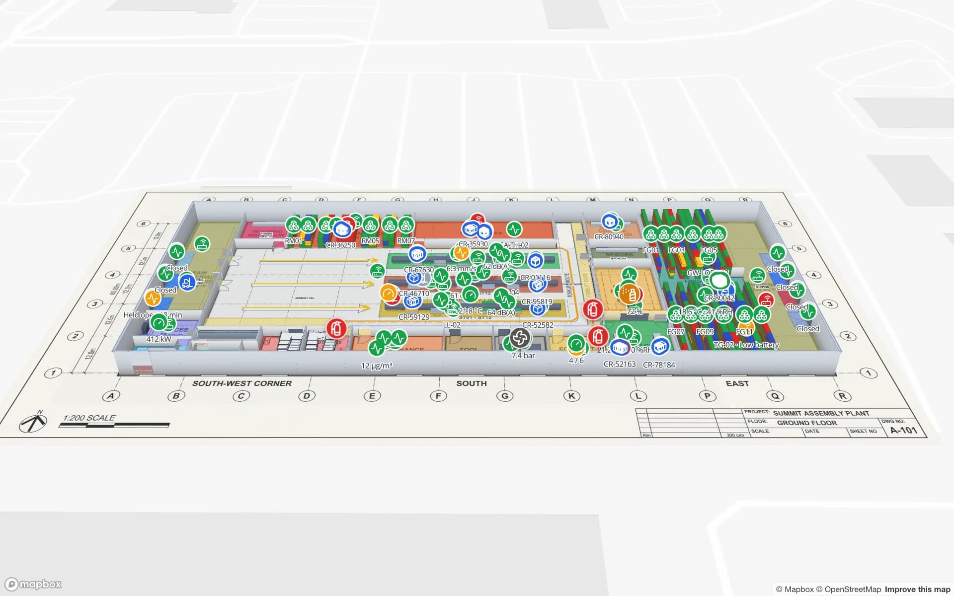
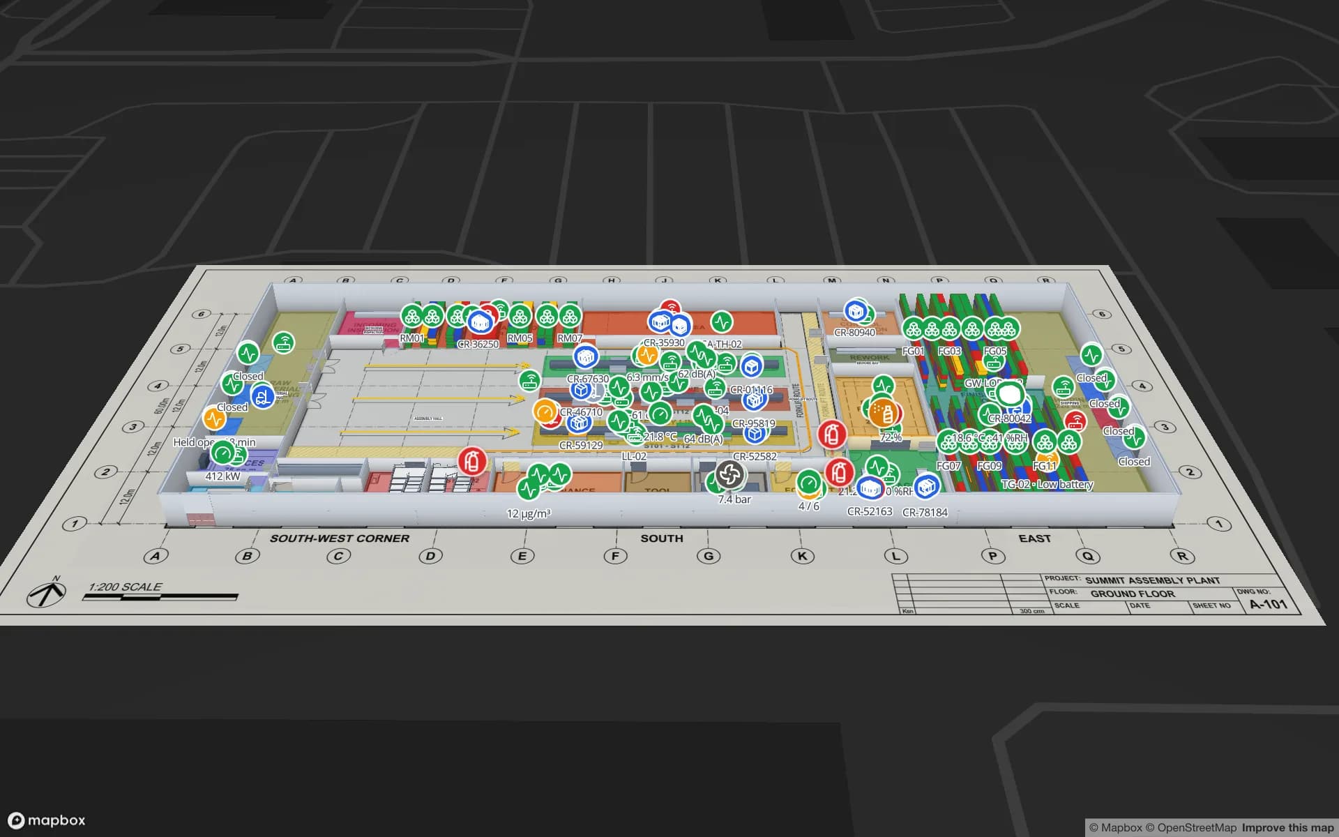
Fulfillment center

Racks by stock status, RFID cartons, docks and forklifts.

Pharma cold store

Cold rooms by temperature, pallets by status, QC holds.

Stadium

Gates, concourses and kiosks with counts and sensors on event day.

See it on real demo facilities

Fictional names, real floor plans, live sensors, RFID, BLE tags and gateways — open any of them in the browser.

All 13 demo facilities

Digital twin software for buildings — frequently asked questions

No. It is an operations twin: it shows the live and past state of a building from the data your systems produce. It does not predict airflow, energy use or throughput.

No. The twin is built from 2D floor plans (PDF, DWG or image). A BIM model can stay your design record alongside it.

No. Spatial Map reads from your systems and shows their state on the map. It does not write back to a WMS, ERP or BMS.

In the app: a bell, a toast and the Alerts page, with Show on map. Rules are checked every 15 seconds and resolve themselves when the item is back to normal. There is no email, SMS or push delivery.

Yes. Every change to a table row is kept with its time, and the History player replays a table’s movements on the map.

Yes. The app is available in six languages — English, Arabic (fully right-to-left), Chinese, French, German and Spanish — and each user picks their own.

A 7-day free trial covers up to 5 facilities with no credit card. Pro is $60 a month or $600 a year for up to 4 facilities. Done-for-you mapping and integrations are quoted as custom services.

Run your building from a live twin.

Start a free trial and open a demo facility, or send us your floor plans and data sources and we will set it up with you.