Ottawa · A bilingual capital, Kanata North, the airport and the O-Train

Indoor mapping in Ottawa: campuses, offices and the airport, in French or English

Spatial Map is browser-based indoor mapping software: it turns a floor plan into a 3D map of every floor, with rooms, doors, lifts and stairs, and puts live data on top. Indoor mapping in Ottawa starts with the city’s own character: a bilingual capital where staff and visitors move between French and English, a large technology park made of many buildings, an airport and a light-rail line. Each building becomes one facility, and each user chooses the app language they work in.

No credit card. Runs in the browser. Pro is $60/month for up to 4 facilities. Book a demo

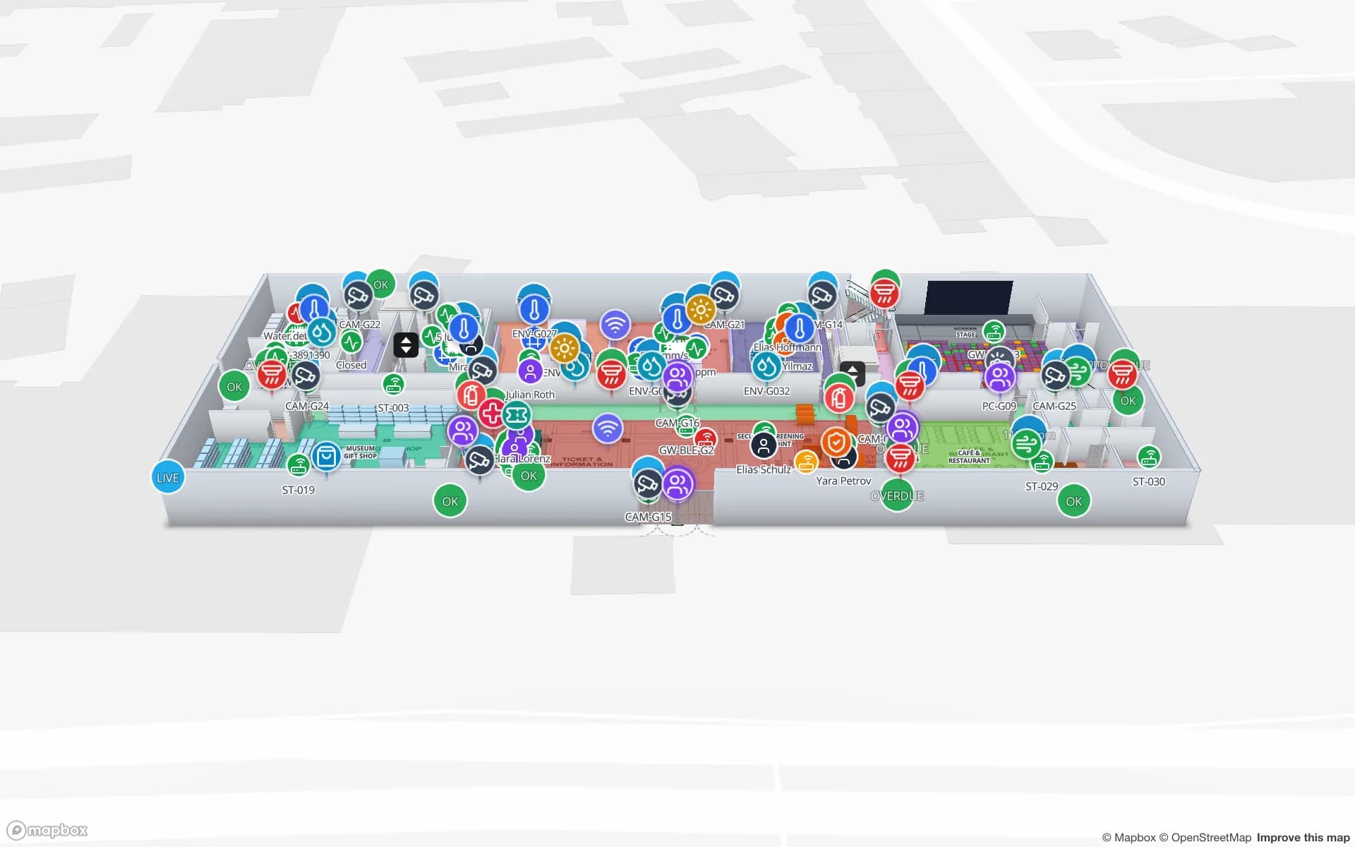
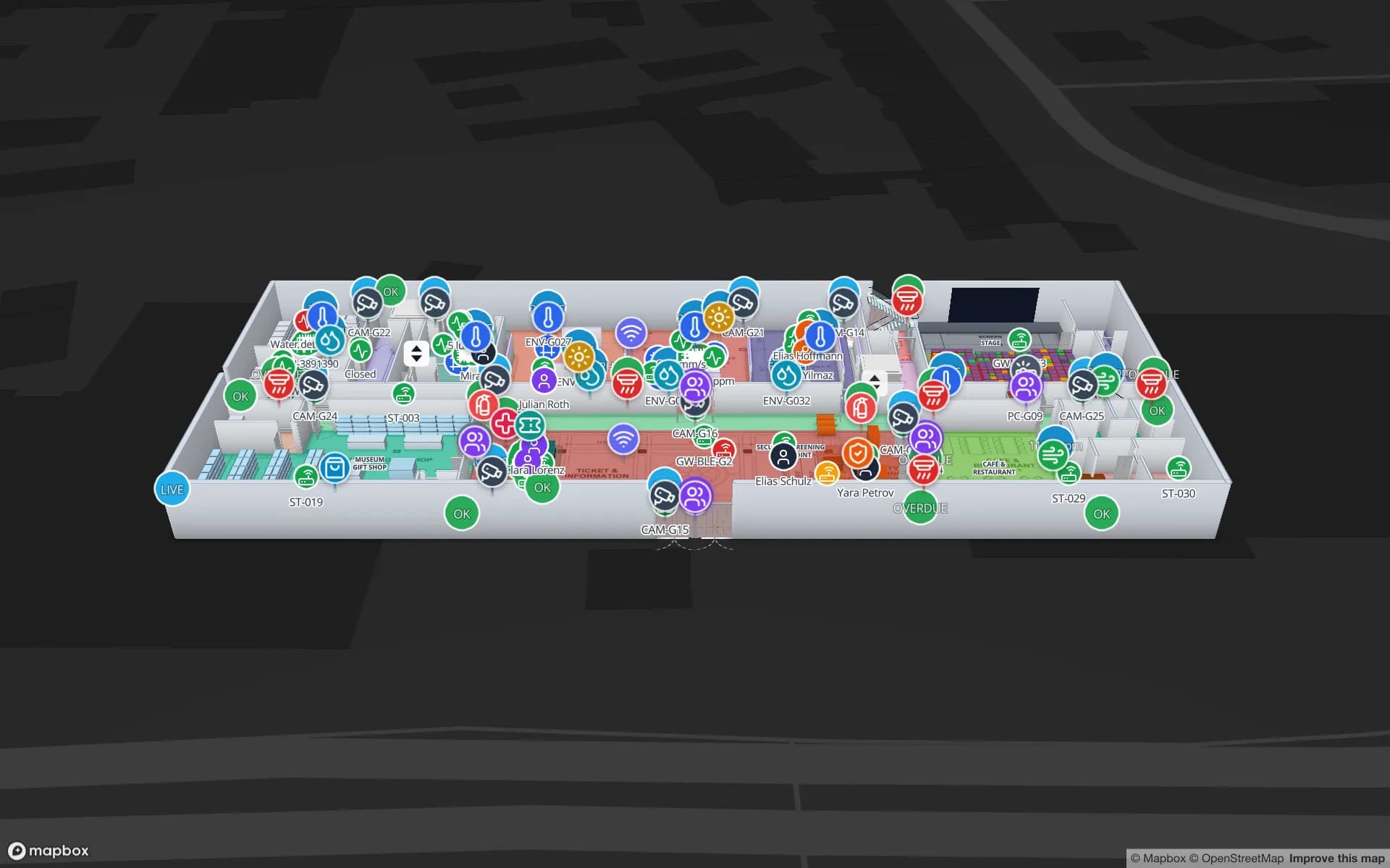
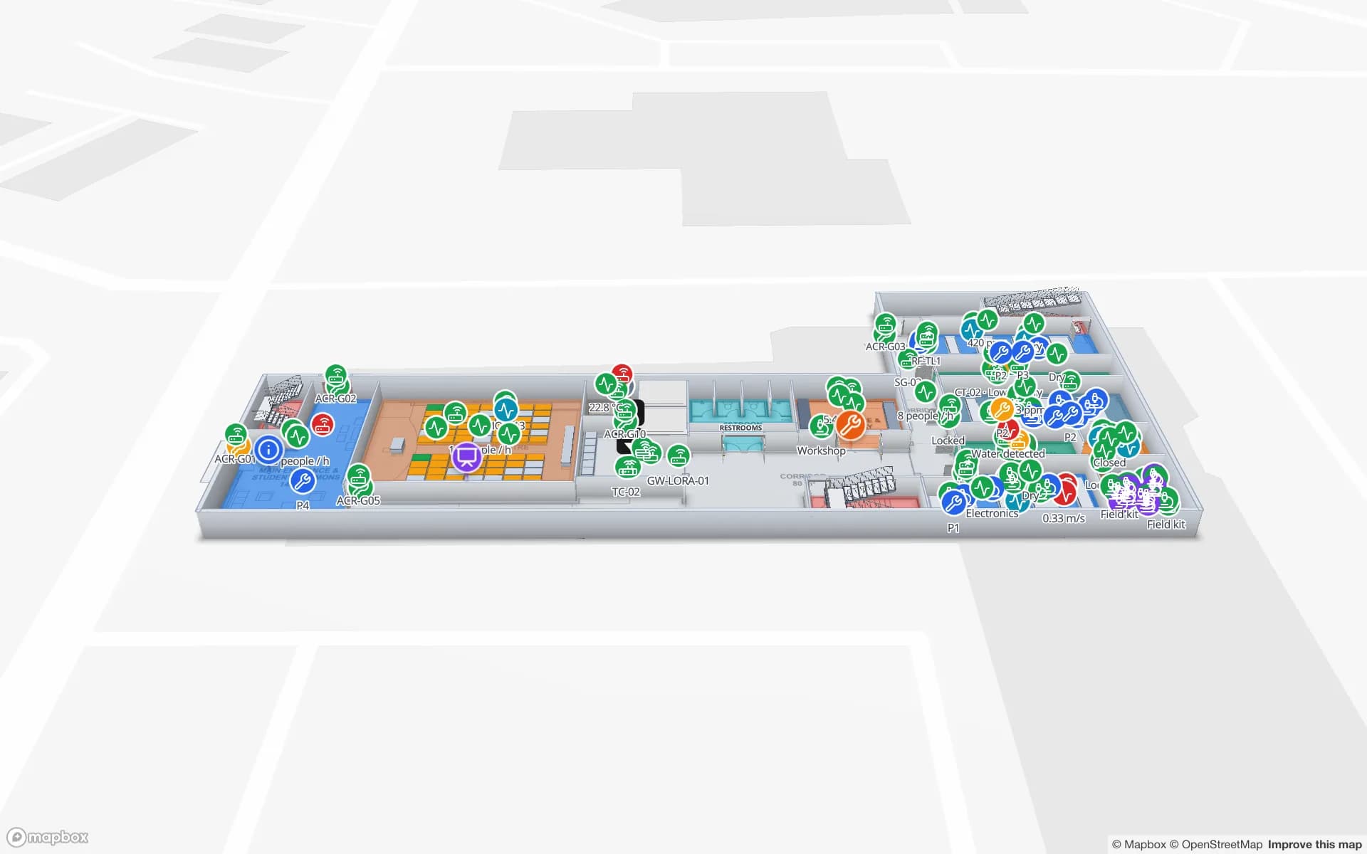
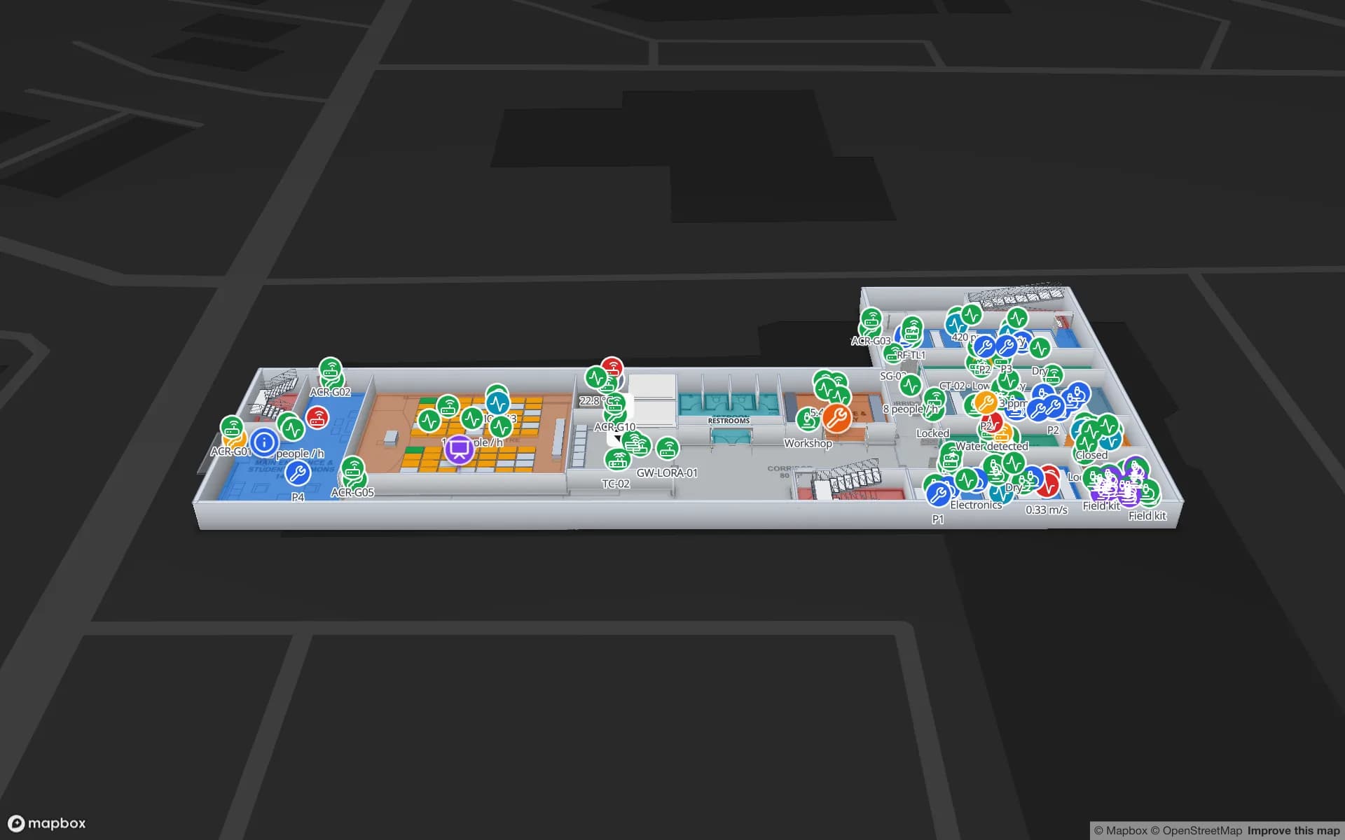
Westbrook University — Science Building, a university science building demo, in the Spatial Map 3D viewer with live device markers
Westbrook University — Science Building
Westbrook University Science Building, a demo campus building: labs, classrooms and prep rooms on two floors, with lab equipment, bookings and access readers.
Floors in the Westbrook science-building demo
2
Floors in the Harborview office demo
3
English and French interfaces, chosen per user
EN · FR
Free trial, up to 5 facilities, no card
7 days

A bilingual capital: the same map in French or English

The City of Ottawa adopted a bilingualism policy on 9 May 2001, and the by-law recognises a resident’s right to communicate in English and French under it; the City says it offers services in both official languages. We leave the legal questions to your advisers and keep to the practical one: a team in Ottawa often includes people who prefer French and people who prefer English.

Spatial Map’s interface ships in French and English, and each user picks their own, so two colleagues can open the same facility in different languages. Room names, labels and notes you type appear exactly as written, so a floor can carry French names, English names or both. Our services team also works in French: see the French services page. The data processing agreement and the security page are available to your procurement team.


Kanata North: one park, many buildings

The Kanata North Business Association describes the Kanata North technology park as home to more than 540 companies and 33,000 employees, in its own 2030 strategic plan; an older agency page gave a smaller workforce, so take the number as the association’s own. Whatever the exact count, the pattern is plain: a park made of many separate buildings, each with labs, meeting rooms, shared test equipment, stores and spare parts.

In Spatial Map each building is a facility with its own floors, and a workspace groups them as one named solution. The Westbrook demo shows labs, instruments and a timetable on two floors; the Harborview demo shows an office building with an asset register by room, equipment checkout and stores on three floors. See also office and campus maps, and use asset tracking when the question becomes where a piece of test equipment is.

The canal, the heritage buildings and the drawing problem

The Rideau Canal stretches 202 km between Ottawa and Kingston and joined the World Heritage List in 2007. In winters when the weather allows, a 7.8 km skateway is cleared through downtown. A city with a heritage corridor like that also has a lot of old buildings, and old buildings come with old drawings: scanned sheets, plans with a revision from the 1970s, and a renovation that was never drawn.

Upload whatever exists: PDF, DWG (AutoCAD R2004–R2018, placed as a picture) or a photo of a paper plan. Align it at real scale and let AI Map draft walls, doors, stairs and lifts from the placed plan for a person to review. The posts on digitizing a paper floor plan and creating an indoor map walk through it. Spatial Map makes no claim about heritage rules, accessibility standards or any other regulation; it shows your building the way you draw it.

Transit and the airport: routes that cross buildings

The first phase of the Confederation Line opened on 14 September 2019 with 13 stations, and Ottawa International Airport reports an airport station on the O-Train network, opened around early January 2025. The airport also reports 4.9 million passengers in 2025, up 6 % on 2024. Stations, terminals and the buildings beside them are places where people arrive and need to find the next door, lift or gate.

Spatial Map plans routes across floors by stairs, lifts and escalators, with Fastest and Step-free options, turn-by-turn steps and walking minutes; see the wayfinding docs and indoor wayfinding. There is no live blue dot and no mobile app, so routes are shown on the map and on shared links. The Silverbay demo maps a terminal with check-in, security, gates and baggage reclaim, and the post on wayfinding in airports and malls covers the design questions.

Services for teams in Ottawa

Ottawa teams usually start with the map, not the sensors:

Also served nearby

The same page covers Gatineau across the river, Kanata, Nepean, Orléans, Barrhaven and Stittsville. Nothing needs to be installed: the map opens in a browser.

How Spatial Map does it

Mapping an Ottawa building

  1. 01

    Start from the drawings you hold

    Upload the PDF, DWG (AutoCAD R2004–R2018, placed as a picture) or a photo of a paper plan, and align it at real scale. No BIM model is needed.

  2. 02

    Let AI Map draft, then check

    Walls, doors, labels, stairs, lifts and escalators are drafted for a person to review.

  3. 03

    Add rooms, equipment and routes

    Name rooms in French, English or both, place equipment and set Fastest and Step-free routes.

  4. 04

    Share the right view

    Read-only links carry an expiry date, a view cap, a floor lock and a choice of layers; roles control who edits.

Where Ottawa teams use the map

Technology campuses and labs

Rooms, shared equipment and bookings across several buildings.

Office buildings

Asset register by room, stores and spares on every floor.

Airport and transit-linked buildings

Gates, check-in and routes, with crowding by zone.

Galleries and visitor attractions

Room occupancy, climate readings and exhibit locations.

See it on real demo facilities

Fictional names, real floor plans, live sensors, RFID, BLE tags and gateways — open any of them in the browser.

All 13 demo facilities

Indoor mapping in Ottawa — questions we get

Yes. The app ships in French alongside English, Spanish, German, Arabic and Chinese, and each user picks their own language. Our services team also works in French. Whether this meets any language obligation of your organization is for your advisers to assess.

Yes. Upload the scan, a PDF or a DWG, align it at real scale and let AI Map draft walls, doors, stairs and lifts for a person to review. If the drawing is wrong or missing a renovation, you correct the map; it is only as accurate as the plan you start from.

No. Spatial Map plans routes across floors and shows them on the map and on shared links, but there is no live blue dot and no mobile app. Live data on the map comes from your own sensors, counters and tags.

Yes. Each building is a facility with its own floors, and a named solution groups them. Owner, Admin, Editor and Viewer roles, plus custom roles, control who sees and edits each one.

No. Spatial Map is sold online and our team works with customers in Canada remotely, by video call and through the contact form, in English or French. There are no local resellers or partners.

In US dollars, the same worldwide: a 7-day free trial for up to 5 facilities with no card, then Pro at $60 a month or $600 a year for up to 4 facilities. Larger estates are quoted as custom services.

Map one Ottawa building in an afternoon.

Start the free trial in English or French and open the Westbrook demo, or send us a plan, scan or photo of a floor through the contact form.