Rouiba-Réghaïa: an old industrial zone with mixed buildings
The Rouiba-Réghaïa industrial zone lies east of Algiers. An Algerian press report from 2013 counted close to 250 companies there, 79 of them public and 163 private, with the private ones concentrated in pharmaceuticals, chemicals and food processing, and described a rehabilitation plan for 25 kilometres of drains and roads. Published figures for the zone’s area differ (784, 940 and “over 1,000” hectares all appear), so none is relied on here. What the numbers do say is that the zone is a dense cluster of plants, many of them built over decades.
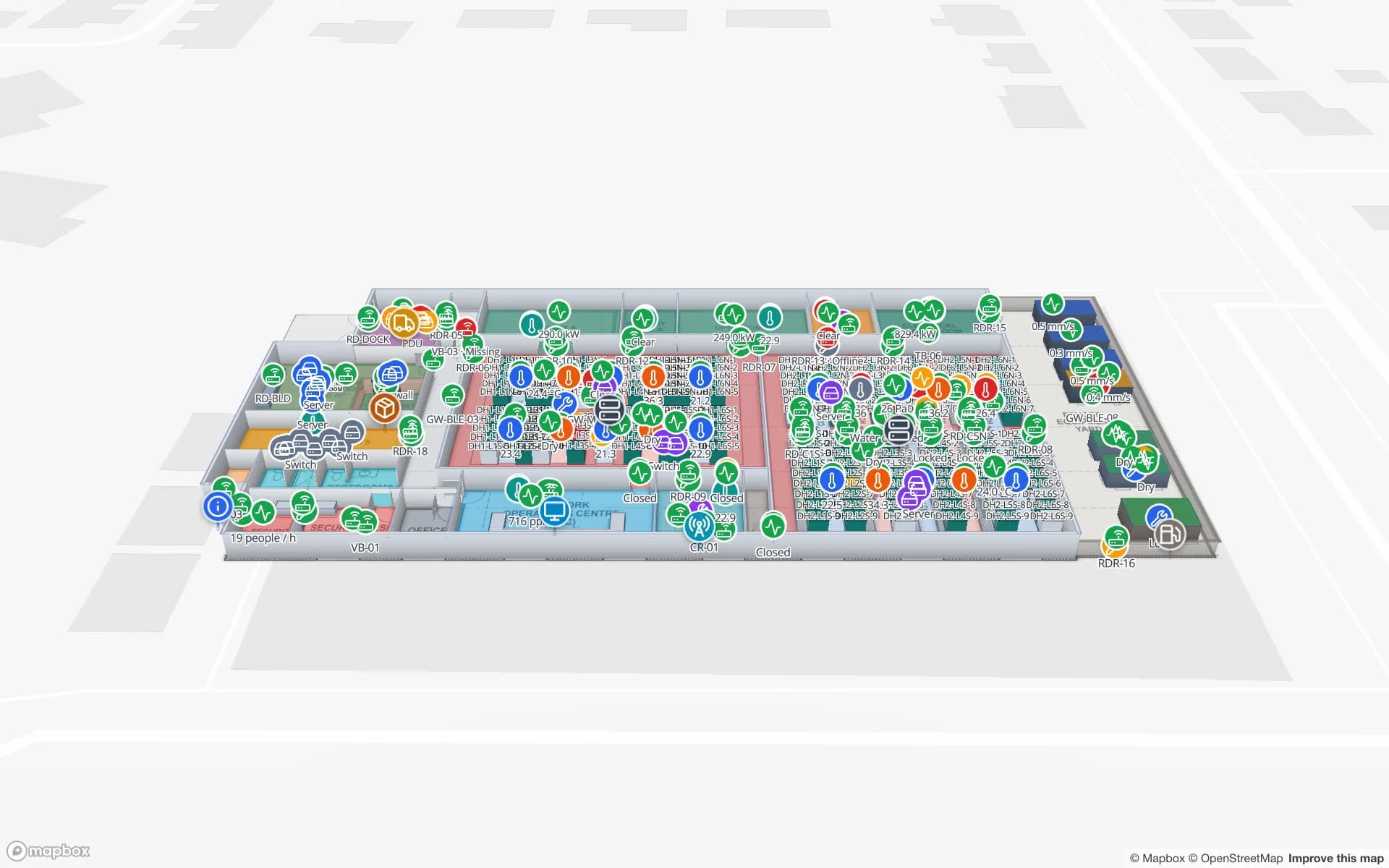
In a plant like that the assets that matter are the ones that change places: moulds, dies and gauges, forklifts and pallet trucks, returnable crates and totes, spares shared across shifts. Spatial Map keeps the asset register as a table with tag ID, owner, home store and status, and draws the plant so each store, workshop and line is an area. RFID read at the tool-store door, or BLE tags with gateways named after the areas, tell your system where each item is; the map shows its last-seen area, and the History player replays where it has been. RFID tool tracking covers the check-out pattern, and the Summit demo shows lines and stores on one plan.