India · Bengaluru

RFID and indoor mapping in Bangalore for tech parks, fulfilment centres and BLR

Spatial Map brings RFID and indoor mapping in Bangalore onto one live 3D map in the browser. The city runs on campuses — tech parks in Whitefield, Electronic City and along the Outer Ring Road — and on the fulfilment centres that ring it, from Nelamangala and Tumkur Road in the west to Hoskote in the east. Both are full of tagged laptops, cartons and equipment that need a place on a floor plan, and many Bengaluru teams would rather read our code than our brochure.

No credit card. Runs in the browser. Pro is $60/month for up to 4 facilities. Book a demo

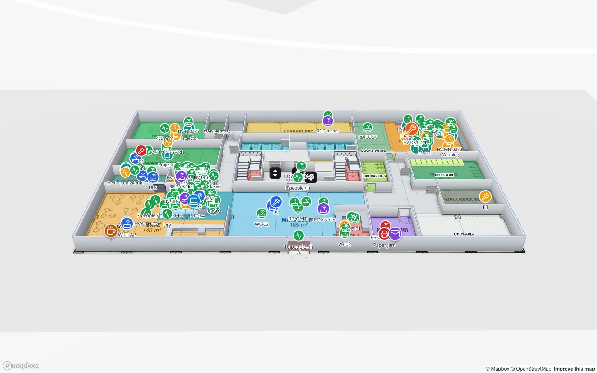
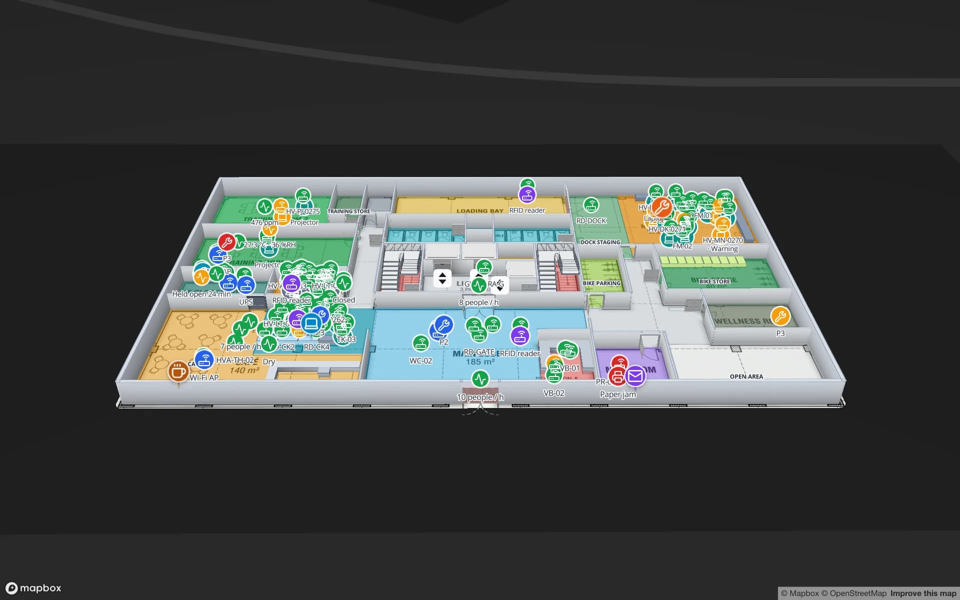
Harborview Corporate Campus — Building A, a corporate office building demo, in the Spatial Map 3D viewer with live device markers
Harborview Corporate Campus — Building A
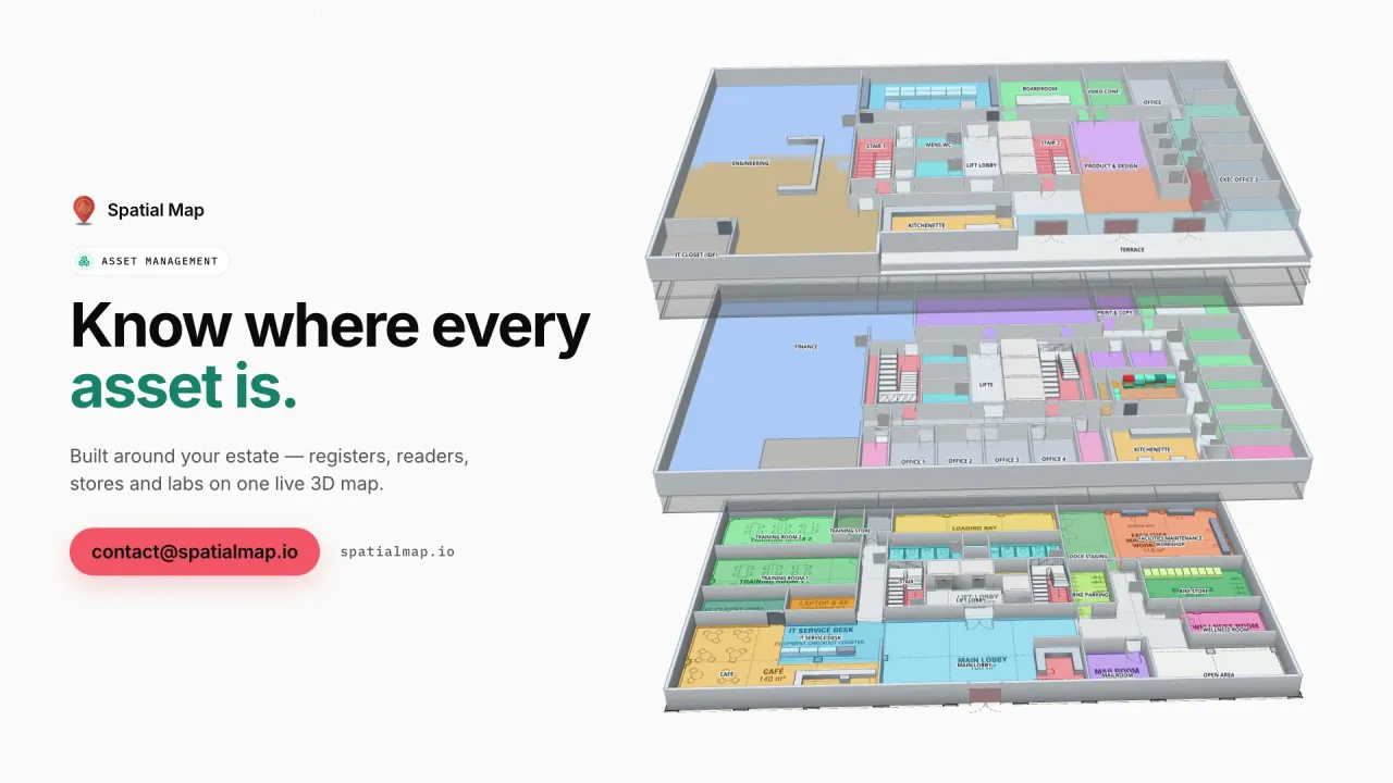
Harborview Corporate Campus, a demo office building: the asset register, equipment check-out, stores and spares, work orders and meeting rooms on three floors.
Floors in the Harborview office demo
3
Registered assets across the Asset Management demos
796
Open-source edition, self-hosted with Docker
MIT
Write API requests per key, with bulk upsert
60/min

Tech-park campuses: laptops, labs and meeting rooms

A Bengaluru tech park is a small town: several towers, each with dozens of floors of desks, labs, server rooms and IT stores, shared by tenants that come and go. Facilities and IT asset teams there answer the same questions every week — where is this laptop, who has the test rig, why is that meeting room always booked and empty.

In Spatial Map each tower is a facility and each floor a level. RFID or BLE tags on laptops, monitors and lab equipment report their last zone; check-out and check-in history sits in the item’s detail drawer; meeting rooms are coloured by occupancy. The Harborview demo shows the pattern on three floors, and indoor asset management explains the solution.


Fulfilment belts on Tumkur Road, Hoskote and Hosur Road

Bengaluru’s warehousing grew in belts along the highways out of the city: Tumkur Road and Nelamangala to the north-west, Hoskote to the east, and Hosur Road towards the Tamil Nadu border in the south. E-commerce and retail fulfilment take a large share of the space, and quick-commerce dark stores inside the city refill from them several times a day.

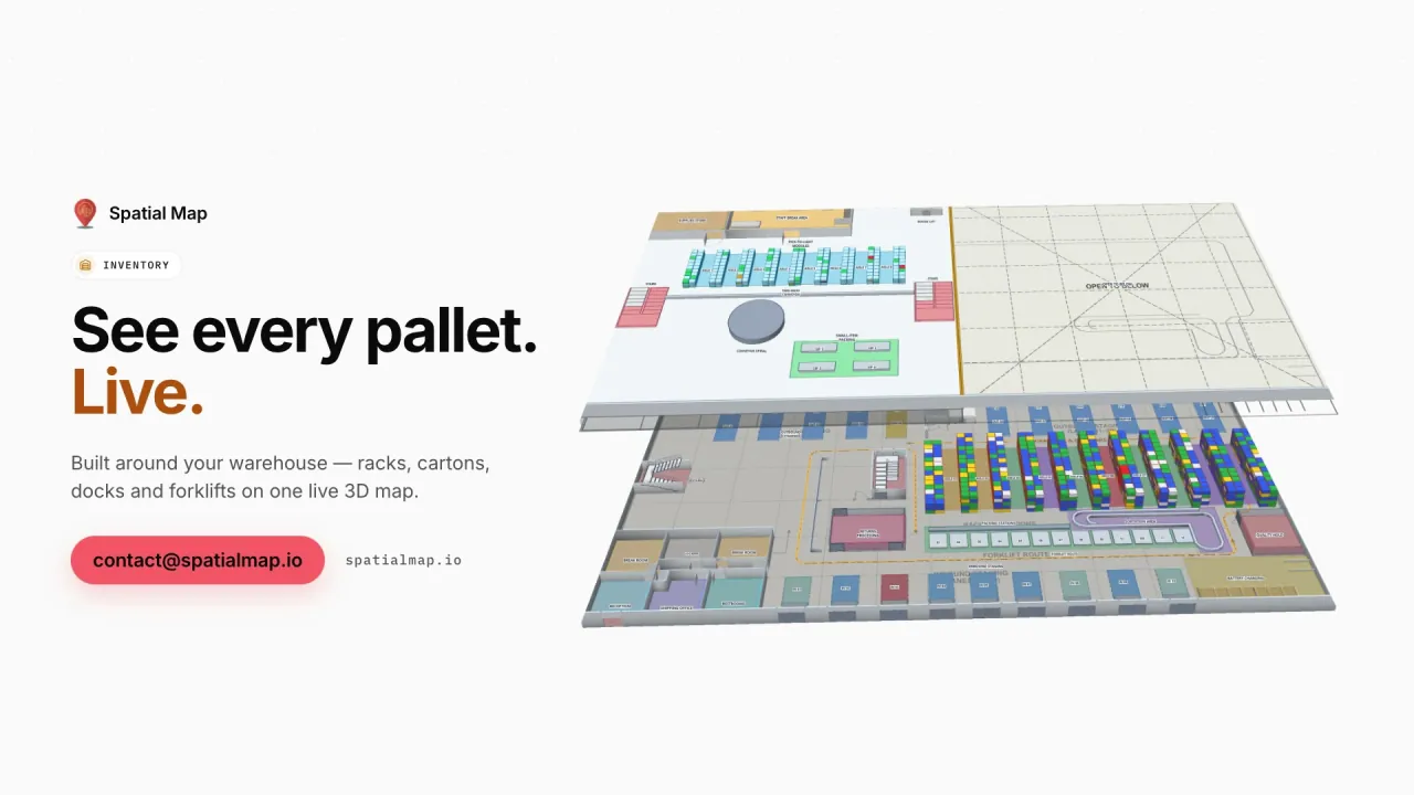
On the map, a fulfilment centre’s racks carry their bin stock from the WMS, pick-to-light zones their output, and dock doors the RFID cartons waiting to leave. A dark store is small enough to map in an hour and shows which shelves are empty before the next order wave. The Crestline demo has 2,204 rack locations, packing and a trailer yard.

BLR, Terminal 2 and express cargo

Kempegowda International Airport (BLR) opened its Terminal 2 in 2022, and its operator opened a dedicated express cargo terminal in 2021 for courier and e-commerce shipments. Express and perishables move to tight cut-offs, so cargo sheds and the terminals around them need to know which zone a consignment sits in right now.

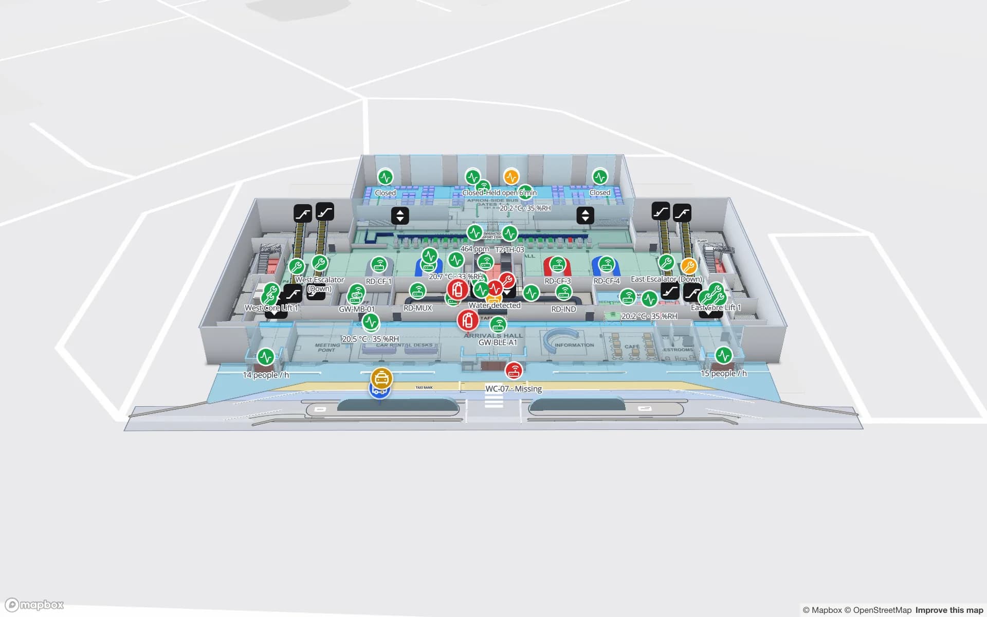
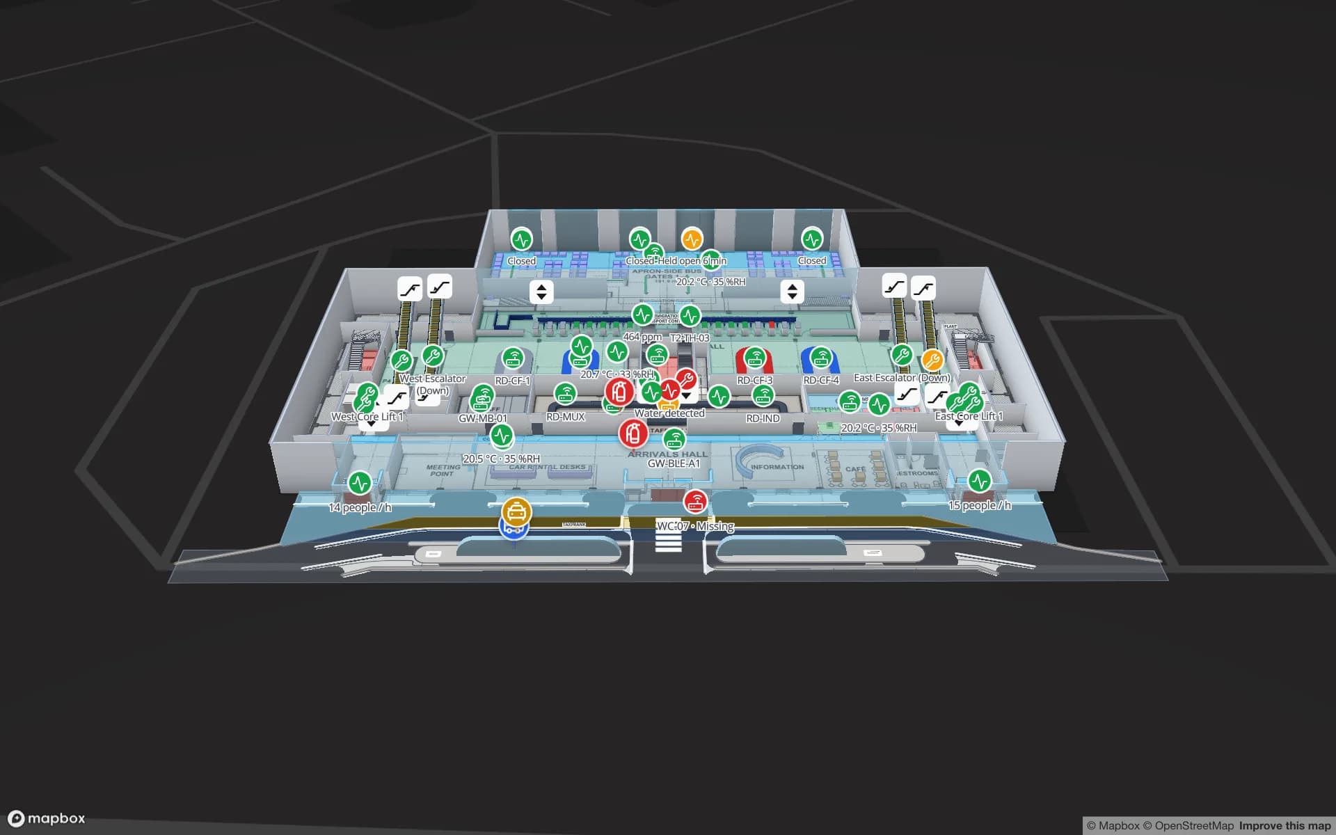
For a cargo shed, bays, cool rooms, screening and build-up areas are shapes coloured from your cargo or WMS data, with RFID or barcode scans placing each consignment. For a passenger terminal, the Silverbay demo shows check-in, security and gates by live load. Spatial Map has no link to airport systems of its own; it shows what your systems send.

For engineering teams: read the code first

Bengaluru buyers often want to see how a tool works before they talk to anyone. The open-source edition is MIT-licensed and self-hosted with Docker, so your team can run it on a laptop, read the Go and TypeScript, and decide. The cloud version is the same editor and viewer, run and upgraded for you.

Integration is plain HTTPS. The table write API takes bearer-key bulk upserts at up to 60 requests per minute per key, and a REST source can be polled on a schedule as JSON, GeoJSON or CSV. Our WMS integration guide walks through the trade-offs.

Peenya, Bommasandra and the electronics supply base

Industrial estates such as Peenya in the north-west and Bommasandra on Hosur Road host machine shops, electronics assemblers and suppliers to the aerospace and defence units the city is known for. High-value components sit in caged stores and move to the line in kits.

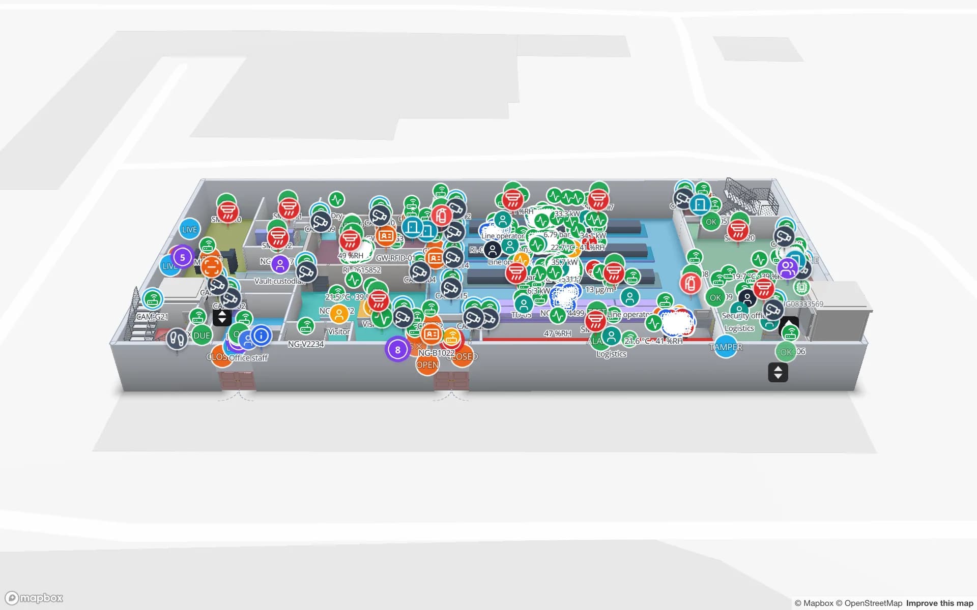
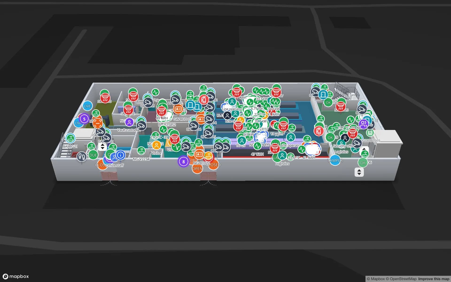
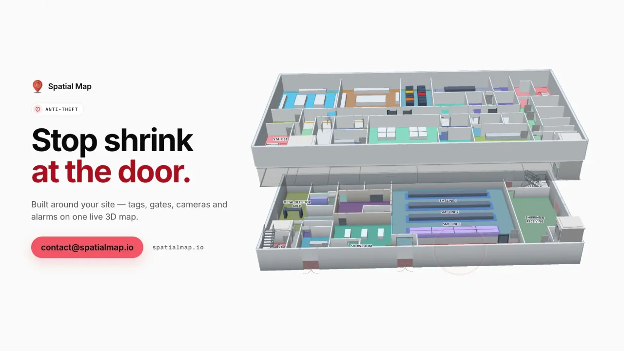
In the Northgate demo, 863 tagged units are followed reader by reader from the SMT lines to the cage gate, beside 42 security zones and their access events. Spatial Map does not lock doors or replace your access control; it shows what happened, where.

How Spatial Map does it

A Bengaluru campus or warehouse, mapped in a week

  1. 01

    Try the code or the trial

    Run the MIT edition in Docker, or open the cloud trial with the demos already in it.

  2. 02

    Map one tower or one shed

    Upload its plans, let AI Map draft the walls and racks, and tidy the result.

  3. 03

    Wire your asset or WMS feed

    A small service pushes rows with the write API; no SDK to install.

  4. 04

    Add the rest of the campus

    Each tower or warehouse a facility, grouped into one solution with shared reports.

What Bengaluru teams track

IT assets across towers

Laptops, monitors and lab rigs with last zone and check-out history.

Fulfilment centres and dark stores

Bin stock, pick zones and RFID cartons at the dock.

Electronics component cages

Kits and high-value parts followed from store to line.

See it on real demo facilities

Fictional names, real floor plans, live sensors, RFID, BLE tags and gateways — open any of them in the browser.

All 13 demo facilities

Questions from Bengaluru teams

Yes, with the open-source edition: MIT-licensed, started with Docker Compose on your own servers, with no plans or limits. You then run hosting, upgrades and backups yourself; the cloud version at spatialmap.io is managed by us.

Yes. Tables belong to the workspace, so one asset table can drive a data link in each tower’s facility. A saved filter on a tower field keeps each tower’s rows on its own map, and the floor is read from a field in the row, such as floor_name.

Yes, and quickly: a dark store is one floor of shelves and a packing counter. Draw the shelves as racks, bind the stock from your inventory system, and empty locations show at a glance.

No, there is no relationship with the airport or its operators. Cargo handlers and tenants can map their own sheds and send their own data, the same as any other building.

Yes. The 7-day trial (5 facilities, no card) includes the table write API and REST sources, and the open-source edition is free to run. After the trial, Pro is $60 a month or $600 a year in US dollars.

Map one Bengaluru tower or shed this week.

Start the free trial or run the open-source edition, and send us a plan through the contact form if you want help with the first floor.