Limassol · The New Port, ship management, industrial zones

Warehouse tracking in Limassol, from the quay to the industrial zone

Spatial Map puts stock, tags and sensor readings on a live 3D map of the building where they sit, so a shelf, a dock door or a cage becomes a row you can see. Warehouse tracking in Limassol starts at the New Port, whose container and multi-purpose terminals went to private operators on long concessions, runs through the stores of the ship-management companies concentrated in the city, and ends in industrial zones where the people who work in them have been asking for fences and a second exit. Each building is its own facility.

No credit card. Runs in the browser. Pro is $60/month for up to 4 facilities. Book a demo

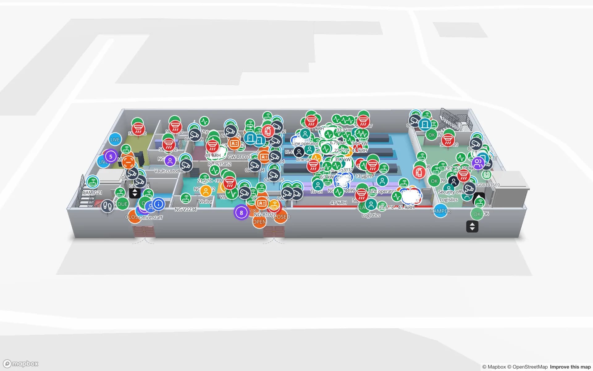
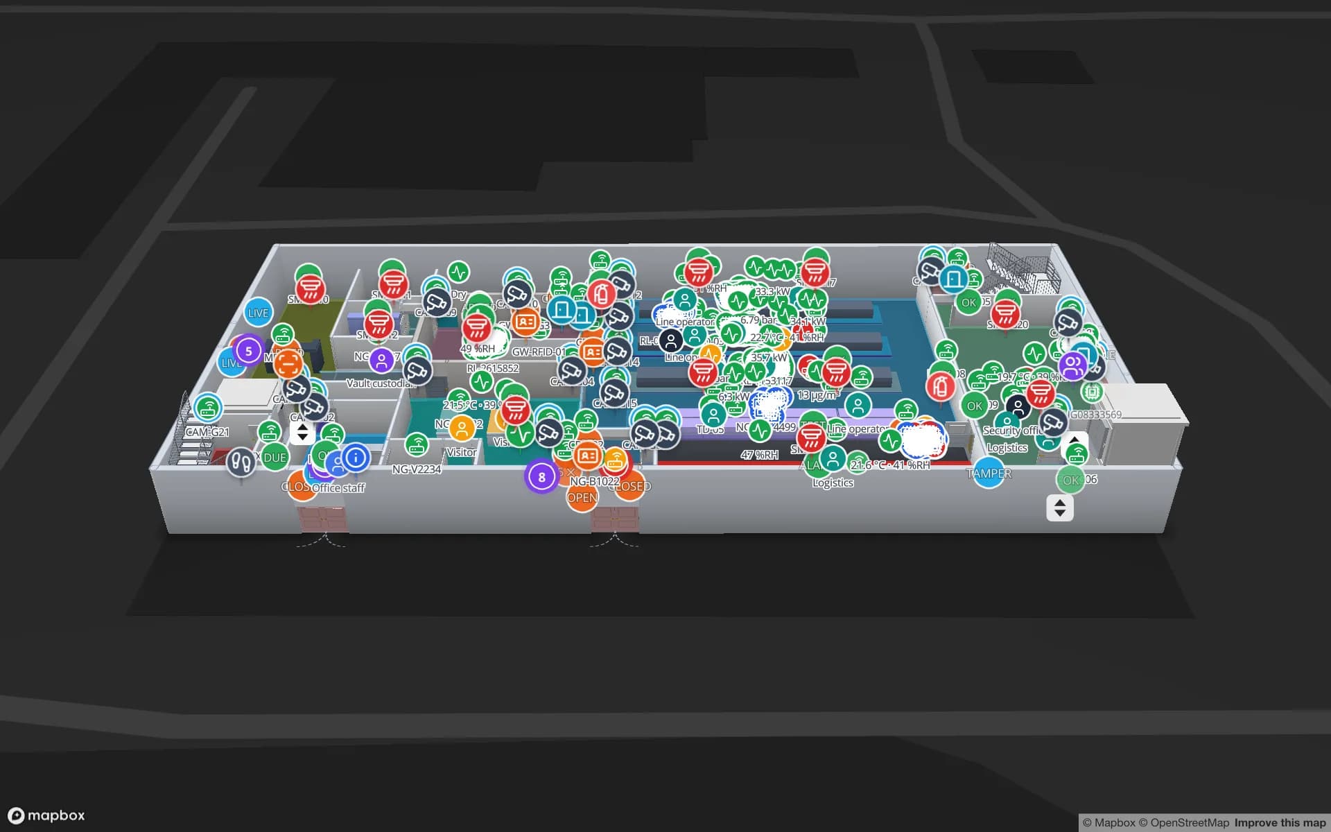
Eastport Cross-Dock Freight Hub, a cross-dock & trailer yard demo, in the Spatial Map 3D viewer with live device markers
Eastport Cross-Dock Freight Hub
Eastport Cross-Dock, a demo freight hub: 50 dock doors, 44 yard slots and 1,180 RFID pallets, with the gate and weighbridge.
Dock doors in the Eastport cross-dock demo
50
RFID pallets moving through Eastport
1,180
How often alert rules are checked, with alerts shown in the app
15 s
Free trial, up to 5 facilities, no card
7 days

The New Port, handed to private operators

Limassol is described as the country’s largest and busiest port. Its commercial operation was split into lots: contracts were signed on 25 April 2016, the container terminal and the multi-purpose terminal each went on a 25-year concession (the lots run to January 2042), marine services on 15 years, and private operators were due to take over commercial management on 29 January 2017. The multi-purpose terminal has three quays for break-bulk, general cargo and ro-ro, and the port has a 7,000 sq m passenger terminal.

Break-bulk and general cargo end up in the warehouses of the forwarders and importers around the port, to be unpacked, stored and re-dispatched. A map of each shed with its lanes, racks and doors, plus a table of what is staged where, answers “is it here yet?” without a phone call. The Eastport demo shows the pattern with a gate, a weighbridge and 44 yard slots. Spatial Map does not connect to terminal, port or customs systems; it shows what your own readers and systems say.


Home-porting: a cruise call is a supply order

The Deputy Minister of Shipping reported 139 confirmed cruise calls at Limassol in 2025, including 26 home-porting itineraries, where a ship starts or ends its voyage in the city. A ship that turns around here takes on provisions and supplies on a tight schedule, so the suppliers behind it work to a sailing time as hard as to any airfreight cut-off.

Draw the supplier’s despatch lanes, give each lane a sailing code, and a table of pallets with their lane colours the floor; a count rule raises an in-app alert when a lane is short, and Show on map takes the supervisor to it. RFID cartons read at the despatch door make the count automatic: RFID stock counting covers how, and the Crestline demo shows 2,204 rack locations and the staging lanes in front of the docks.

The ship-management capital’s stores

The island’s shipping chamber calls Limassol the largest third-party shipmanagement centre in the European Union and says most Cyprus shipping companies are based there; nationally, about 9,000 people are employed ashore in shipping. Each of those companies keeps stock that serves vessels elsewhere: spares, tools, safety equipment and crew supplies.

That stock is small by warehouse standards and expensive per item, which suits a tag per item and a shelf-and-bin map. Check an item out to a vessel or a technician and the table keeps the history; the Harborview demo shows equipment checkout on three floors, and real-time indoor asset tracking explains the model. Spatial Map does not follow the vessel itself.

Industrial areas: the fence, the gate and the one exit

In June 2025 the Limassol chamber of commerce published an account from officers of the industrialists’ associations. At Agios Athanasios, the association’s president said all of Limassol’s industrial areas are exposed and should be fenced with controlled entry and exit, that police lack the staff to patrol the zones, which has led to thefts and damage, especially at night, and that the zone has a single entry and exit point for more than 5,000 workers and visitors, with a temporary second exit on the eastern side approved. At Monagroulli, designated industrial in 1998, the committee said the main access road had been promised for five years; at Agios Sylas there is no public transport and no fire-protection plans had reached industrialists before summer 2025.

None of this is solved by software, but a map helps with the part inside the fence. Draw the unit’s yard, gate, cages and stock areas; place cameras as cone markers; give the gate door and cage sensors rows of their own. An alert rule such as “gate open after 22:00” or “reader silent for 15 minutes” raises an in-app alert and Show on map goes to the spot. Those alerts appear in the app, for a duty manager or a control room with a screen; Spatial Map sends no SMS or email, and it does not replace CCTV, alarms or a guard. The Northgate demo shows the pattern.

A newer zone is planned at Kokkinokampos: Kourion Municipality is developing it with direct access from the Limassol–Saittas motorway, east of the Third Industrial Zone of Ypsonas, for storage, small manufacturing, metal construction and carpentry. Its mayor hopes works could be tendered before the end of 2026. Occupiers of new units can start from the architect’s CAD drawing, placed as a picture, with AI Map drafting walls and racks for a person to review.

Services for teams in Limassol

Where Limassol teams usually start depends on the building:

  • Forwarders and importers near the port start with RFID warehouse management at dock doors and inventory tracking at rack level.
  • Ship-management and shipping-services companies start with asset tracking for spares, tools and safety equipment in their stores.
  • Industrial-zone units add gate and camera layers and in-app alerts for after-hours events.
  • If you have no readers or tags yet, our team can source them on request, quoted per project, with warranty and device support from the manufacturer: see RFID readers and tags and hardware and demo kits.
  • Handheld apps and WMS or ERP integrations are built as custom software client projects, and the product runs as cloud or on-premises.

Also served nearby

The same page covers Ypsonas and Kolossi to the west, Kato Polemidia and Mesa Geitonia on the city’s edge, Moni and Pissouri along the coast road, and the Limassol–Paphos motorway corridor. The map opens in a browser; the app has no Greek interface, and names in Greek letters display exactly as typed.

How Spatial Map does it

From the unit’s plan to live stock

  1. 01

    Pick one building

    A port-side shed, a ship-management store or a unit in an industrial zone — wherever a missing item costs most.

  2. 02

    Map doors, lanes and shelves

    Upload the plan, photo or sketch, let AI Map draft the floor, and name locations the way your system names them.

  3. 03

    Connect reads and stock

    RFID middleware and your ERP post rows through the table write API, a polled REST endpoint or CSV and Excel uploads.

  4. 04

    Add door and silence rules

    In-app alerts for short lanes, after-hours gate events and readers that stopped reporting.

What Limassol teams track

Port-side sheds and freight stations

Dock doors, yard slots and pallets staged for each sailing.

Cruise and vessel supplies

Cartons counted at the despatch door and staged by sailing.

Spares and tools in ship-management stores

Tagged items by shelf and bin, checked out to a vessel or a technician.

Industrial-zone units after hours

Gate, cage and camera layers with in-app alerts for the duty manager.

See it on real demo facilities

Fictional names, real floor plans, live sensors, RFID, BLE tags and gateways — open any of them in the browser.

All 13 demo facilities

Warehouse tracking in Limassol — questions we get

No. It has no link to port, terminal or customs systems. It shows what happens inside your own building, from your own RFID reads, WMS or ERP and sensors, so it complements the port-level systems rather than replacing them.

No. Alerts appear inside the app only (the bell, a toast and the Alerts page), and rules are checked every 15 seconds. That suits a duty manager or a control room with a screen; it does not replace an alarm company, CCTV monitoring or a guard.

Yes, as areas and slots drawn on the plan with markers for cages and containers, as in the Eastport yard demo. Spatial Map is built for buildings, so for a container yard of a terminal operator you would still use a terminal operating system.

Yes. Upload a scan or photo and align it at real size, or sketch the outer walls and racks and photograph the sketch. AI Map can draft from the picture, and you correct what it gets wrong. Our services team can also do the mapping remotely for a fixed price.

No. The app is available in English, Spanish, French, German, Arabic and Chinese. Your own content, such as shelf names and report titles, can be in Greek letters and displays exactly as typed.

No. Spatial Map is sold online and our team works with customers in Cyprus remotely, by video call and through the contact form, in English. There are no local resellers or partners.

In US dollars, the same worldwide: a 7-day free trial for up to 5 facilities with no card, then Pro at $60 a month or $600 a year for up to 4 facilities. RFID hardware, if you ask us to source it, is quoted per project and is not part of the subscription.

Map one Limassol shed before the next sailing.

Start the free trial and open the Eastport demo, or send us the plan of a port-side shed, a ship-management store or an industrial unit and a sample of your stock data through the contact form.