Comparison · Matterport

Matterport vs Spatial Map: a scanned digital twin or a live operations map?

Spatial Map is indoor mapping software that builds a 3D operations map from your floor plans and keeps it live with RFID, BLE, sensor and stock data. Matterport vs Spatial Map is less a contest than a choice of job: Matterport captures what a space looks like in immersive 3D, and Spatial Map shows what is happening in it right now. Many teams will want both. If you are after a Matterport alternative for operations, this page explains where each fits.

Last reviewed:

No credit card. Runs in the browser. Pro is $60/month for up to 4 facilities. Book a demo

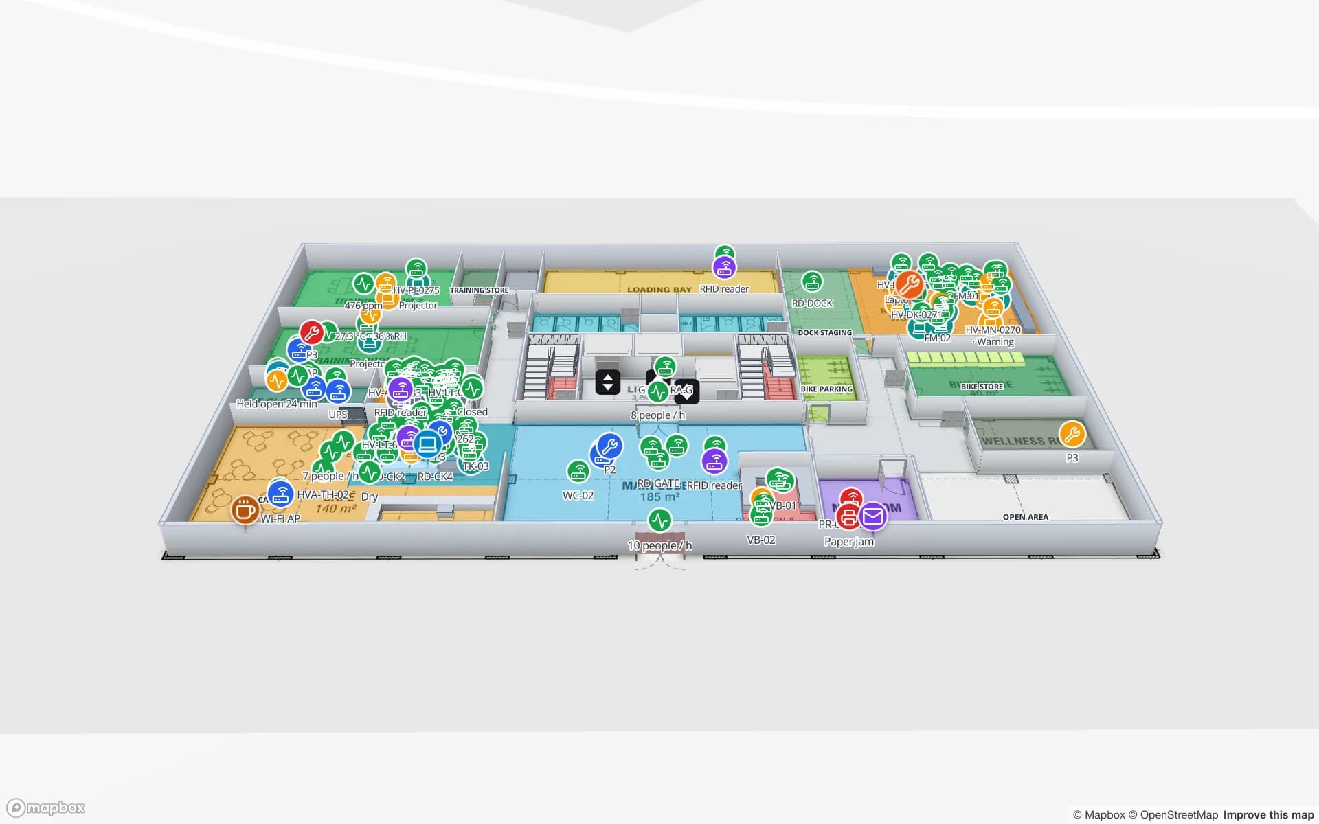
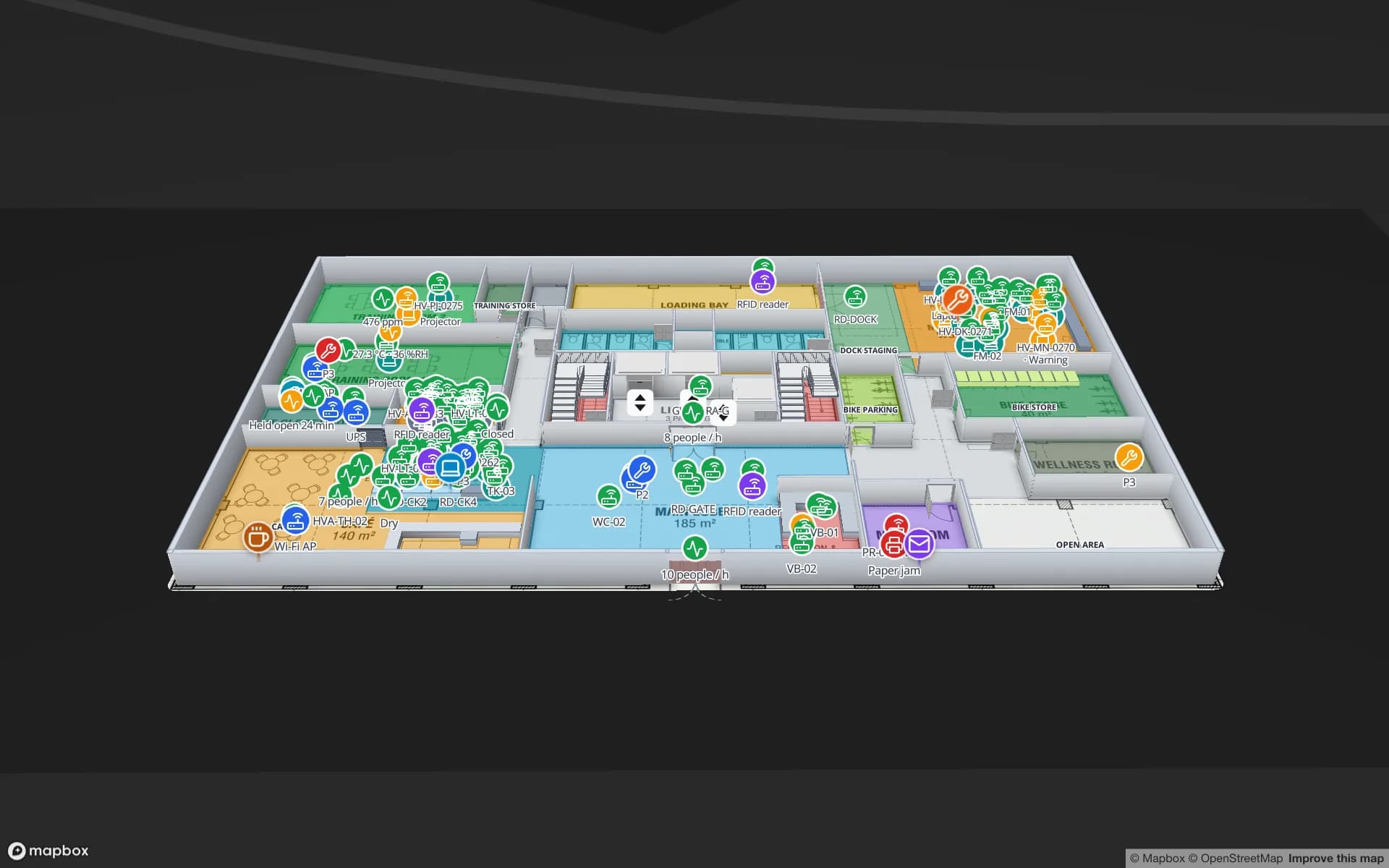
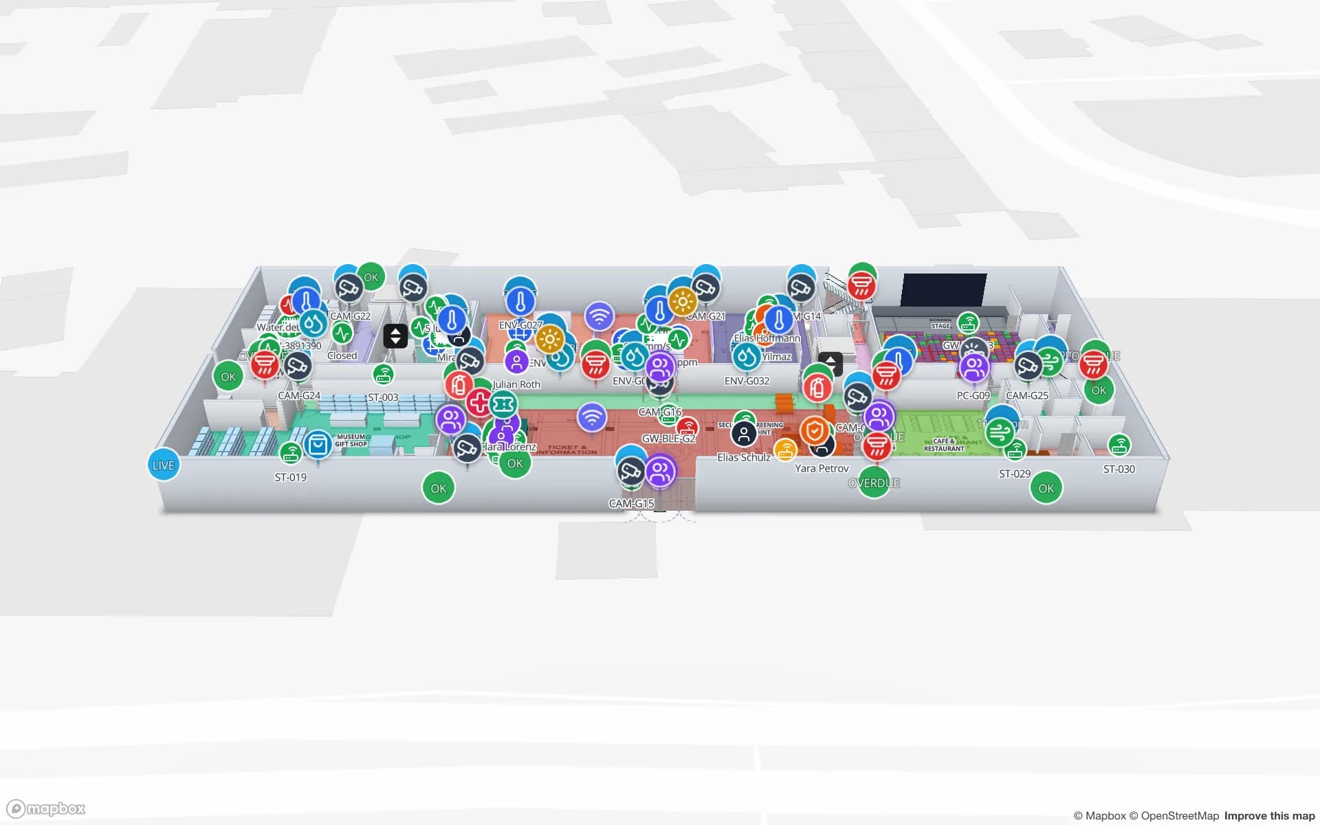
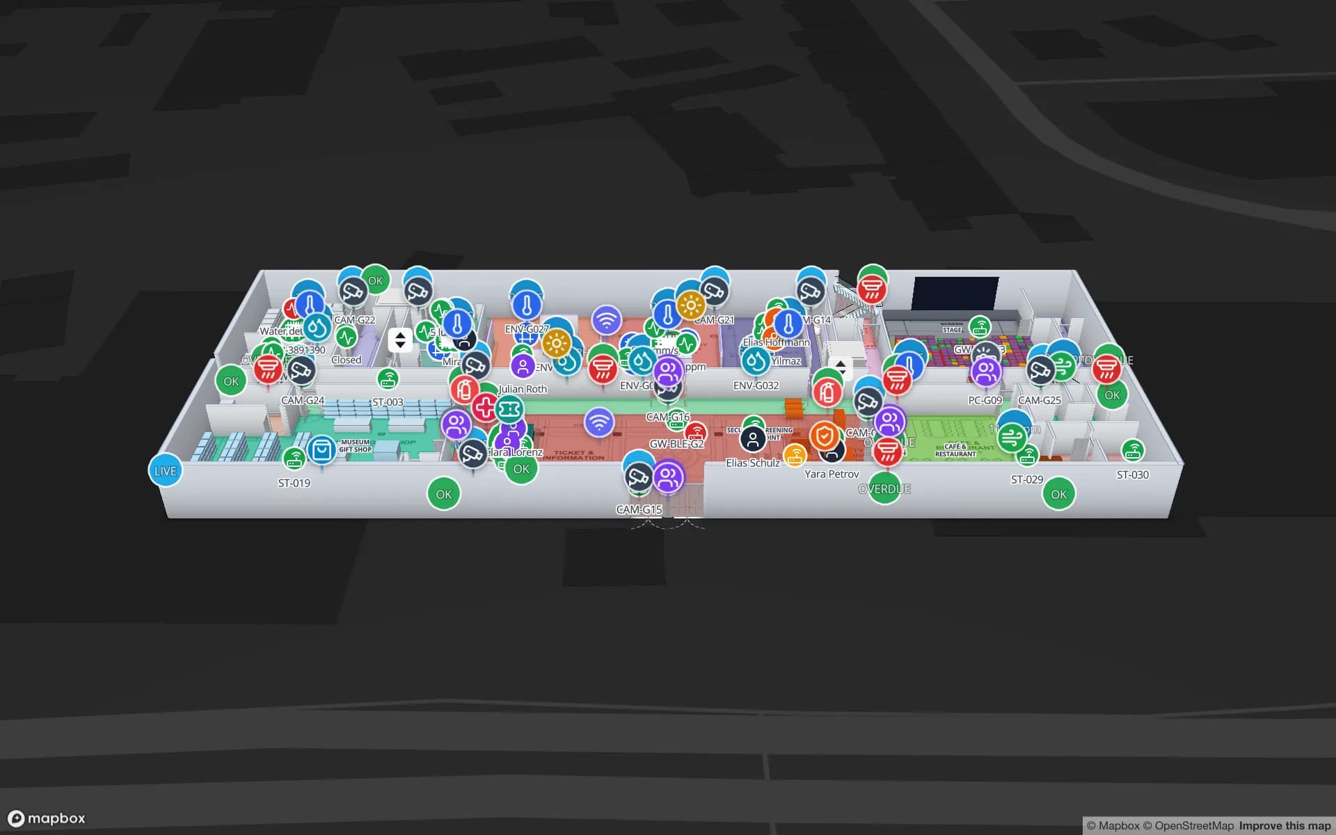
Production Museum, a three-floor museum demo, in the Spatial Map 3D viewer with live device markers
Production Museum
The Production Museum, a three-floor demo in Spatial Map: gallery occupancy, climate sensors, tagged exhibits and staff on a live map.

Matterport in brief

Matterport, part of CoStar Group since 2025, describes itself as a way to capture, share and collaborate on spaces in immersive 3D. You capture a space with a supported camera and Matterport builds a digital twin: an immersive 3D tour, with floor plans and photos produced from the same capture. Its site targets corporate real estate, property marketing, facilities management and design and construction, and mentions integrations with construction and design tools.
How Spatial Map differs

Spatial Map is browser-based indoor mapping software for operations teams. You import a PDF or DWG floor plan, let AI Map draft walls, doors, racks, stairs and lifts for you to review, trace the rest, and stack the floors into a 3D map. Then you bind every shape to live data — RFID reads, BLE tag positions from your RTLS, sensor readings, stock from a WMS — through tables, REST sources and a per-table write API. Reports, in-app alerts, read-only share links and multi-floor wayfinding with step-free routes come from the same map, and Ask AI (beta) answers questions about a facility from its tables. Pro is $60 a month or $600 a year for up to 4 facilities after a 7-day free trial, and an open-source edition (MIT) runs on your own servers.

  • Built from drawings, not a scan — no camera visit: import the PDF or DWG floor plan, let AI Map draft the layout and finish it in the browser.
  • Live, not a snapshot — rooms, racks and markers change colour and position as data arrives from your tables, with history you can replay.
  • Made for operations — alerts, reports, multi-floor routes and read-only share links for the people who run the building.
  • Easy to change — move a rack or redraw a room in minutes when the layout changes, without capturing the space again.

When Matterport is the right tool

Choose Matterport when the point is to see the space itself: a visual walkthrough for buyers or tenants, as-built capture of a site during or after construction, remote inspections, documenting the condition of a building, or marketing real estate. A photographic 3D scan shows finishes, furniture and details no floor plan carries, and Spatial Map does not try to replace that.

When Spatial Map is the better fit

Choose Spatial Map when the point is what is happening in the space: where tagged assets are, which racks are low on stock, which cold room is warming, which reader went offline, how busy a gallery is. That is a map that updates itself from your systems, and that a planner can redraw when the layout changes, rather than a capture of one moment.

Using both

The two fit together. Keep a Matterport scan as the visual record of the building and for walkthroughs, and use Spatial Map as the live operations view. If you have a floor plan of the space as a PDF or an image at a known scale, from any source, Spatial Map can use it as the starting plan of a floor.

Spatial Map at a glance, and what to ask Matterport

Spatial MapWorth confirming with Matterport
Main jobLive operations map for staffIts focus for your use case (walkthroughs, documentation, marketing)
How the model is madeFrom PDF, DWG or image floor plans; AI Map drafts, you reviewCapture devices and how long a capture of your site takes
What it showsShapes coloured and moved by live data, with historyHow live operational data can be shown in a scan
When the layout changesEdit shapes in the browserWhen a new capture is needed
SharingRead-only links, no account neededSharing and viewer options
PricingPro $60/month or $600/year, up to 4 facilities, publishedPricing for your spaces
Self-hostingOpen-source edition, MITHosting options

Matterport and the other product names on this page are trademarks of their respective owners, used here only to identify their products. Spatial Map is not affiliated with or endorsed by them. The description of Matterport is based on its publicly available product information as of November 2026 and is deliberately general — features and terms change, so check the vendor’s own site before you decide. Spot something out of date? Tell us at [email protected] and we will correct it.

How Spatial Map does it

Decide between a scan and a live map in four steps

  1. 01

    Name the question

    “What does it look like?” points to a scan. “What is happening in it now?” points to a live map.

  2. 02

    List the data you have

    RFID reads, tag positions, sensor readings or stock exports are what make a live map worth having.

  3. 03

    Import one floor

    Start a 7-day trial (no card) and import the PDF or DWG of one floor you know well.

  4. 04

    Connect one feed and share it

    Push a few rows to a table, link them to shapes and send a read-only link to the team who would use it.

Live maps that a scan does not replace

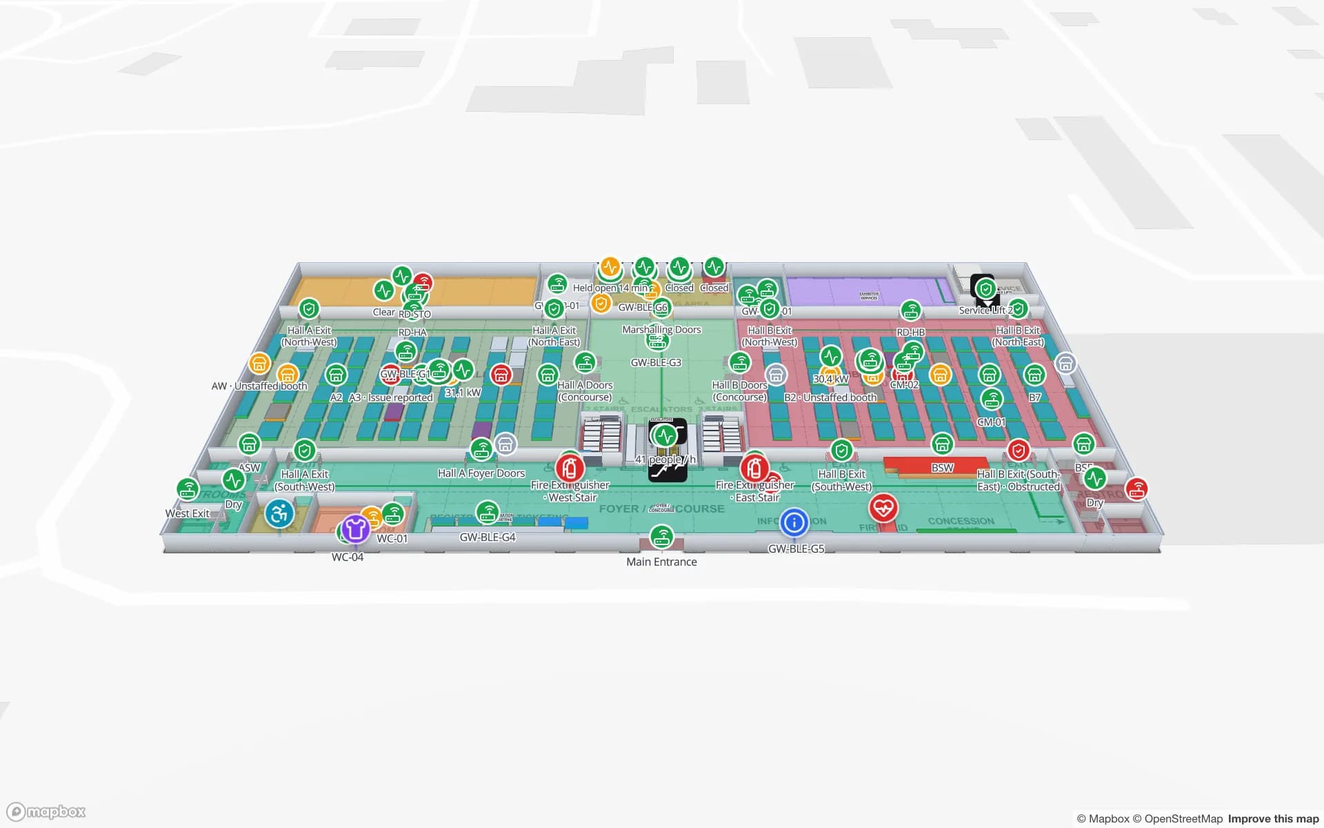
Each use case is running on a demo facility you can open in the browser.

Visitor attractions

Gallery occupancy, climate sensors, tagged exhibits and BLE audio guides across three floors.

Stores

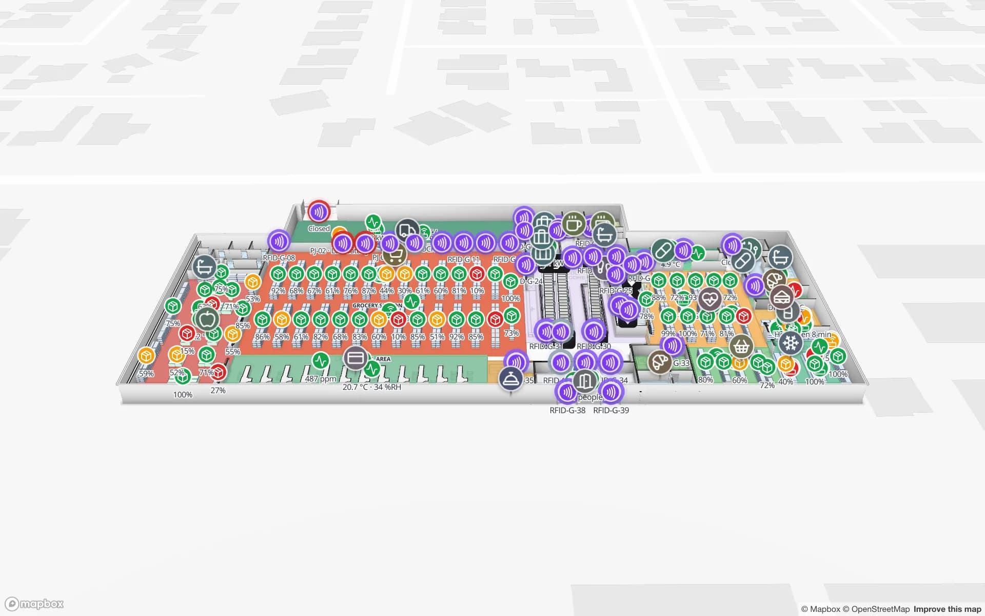
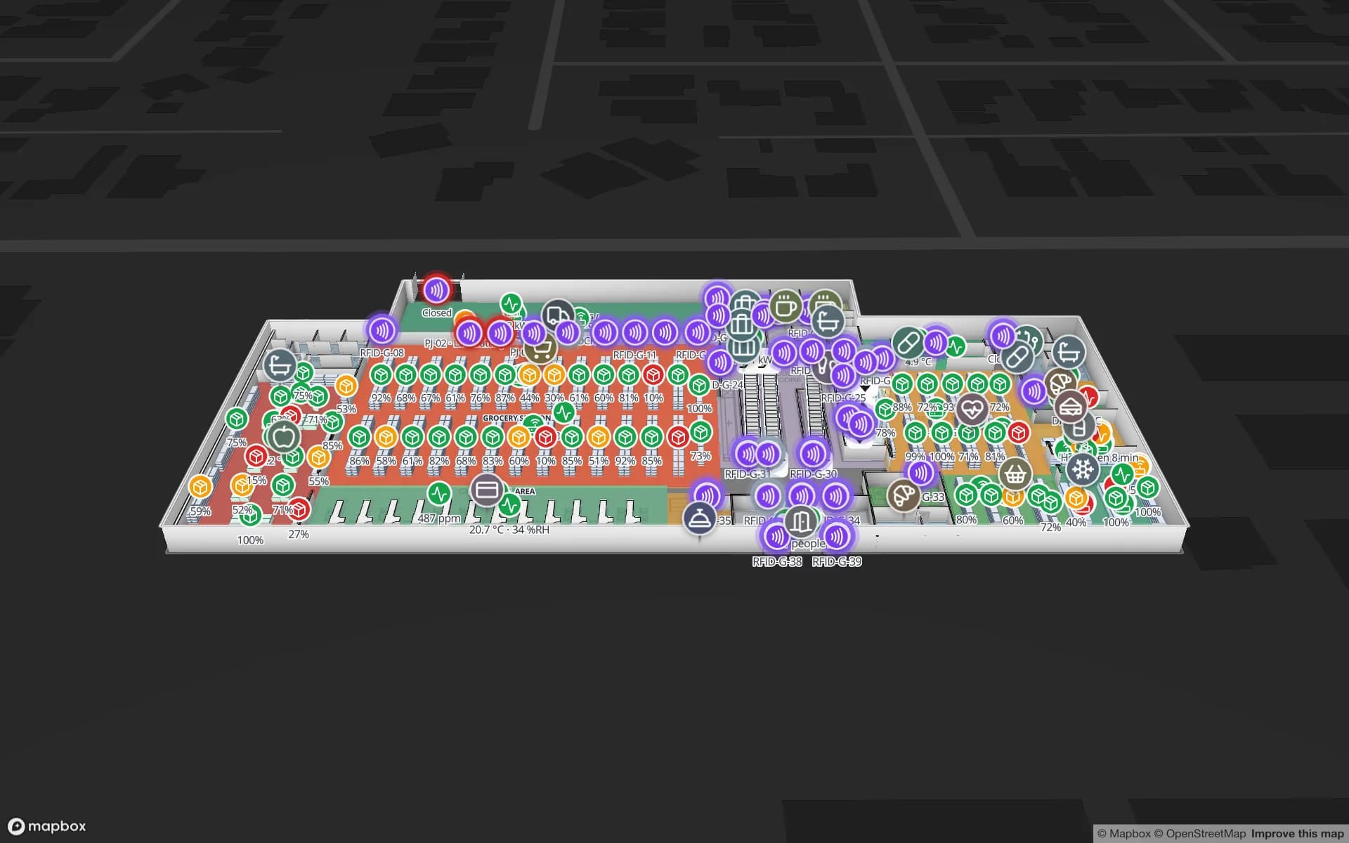
Shelf and department stock, RFID readers at the exits and fridge temperatures on a three-floor store.

Offices

Asset register, equipment checkout, meeting rooms and work orders on a three-floor office building.

See it on real demo facilities

Fictional names, real floor plans, live sensors, RFID, BLE tags and gateways — open any of them in the browser.

All 13 demo facilities

Matterport vs Spatial Map — frequently asked questions

For operations, yes: a live map of what is happening in a building, built from floor plans. For immersive walkthroughs, as-built capture and real-estate marketing, Matterport is the right tool, and the two can run side by side.

No. Spatial Map builds the 3D map from your PDF, DWG or image floor plans in the browser: walls, racks, stairs and lifts are drawn as shapes, with AI Map drafting them for review.

No. It does not import scans, point clouds or 3D tours. It can use a floor plan of the space as a PDF or image, whatever produced it, as the starting plan of a floor.

Both use the term. Matterport’s twin is a photographic 3D capture of a space. Spatial Map’s twin is an operational one: a map whose shapes are linked to live data, alerts and reports.

A 7-day free trial (up to 5 facilities, no card), then Pro at $60 a month or $600 a year for up to 4 facilities. The open-source edition is free under the MIT licence.

Keep the scan. Add the live map.

Start a free trial with one floor plan and one data feed, or explore the demo facilities first.