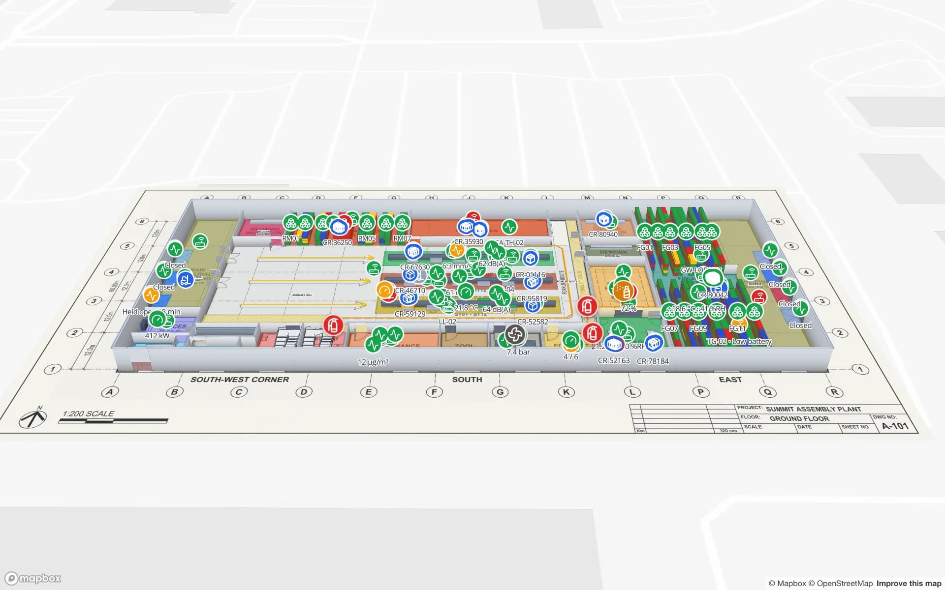
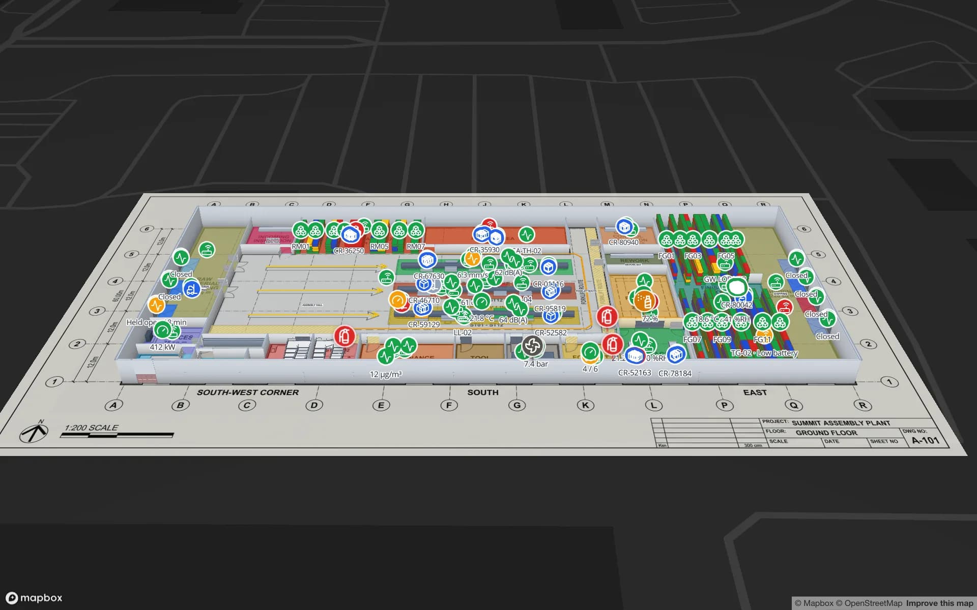
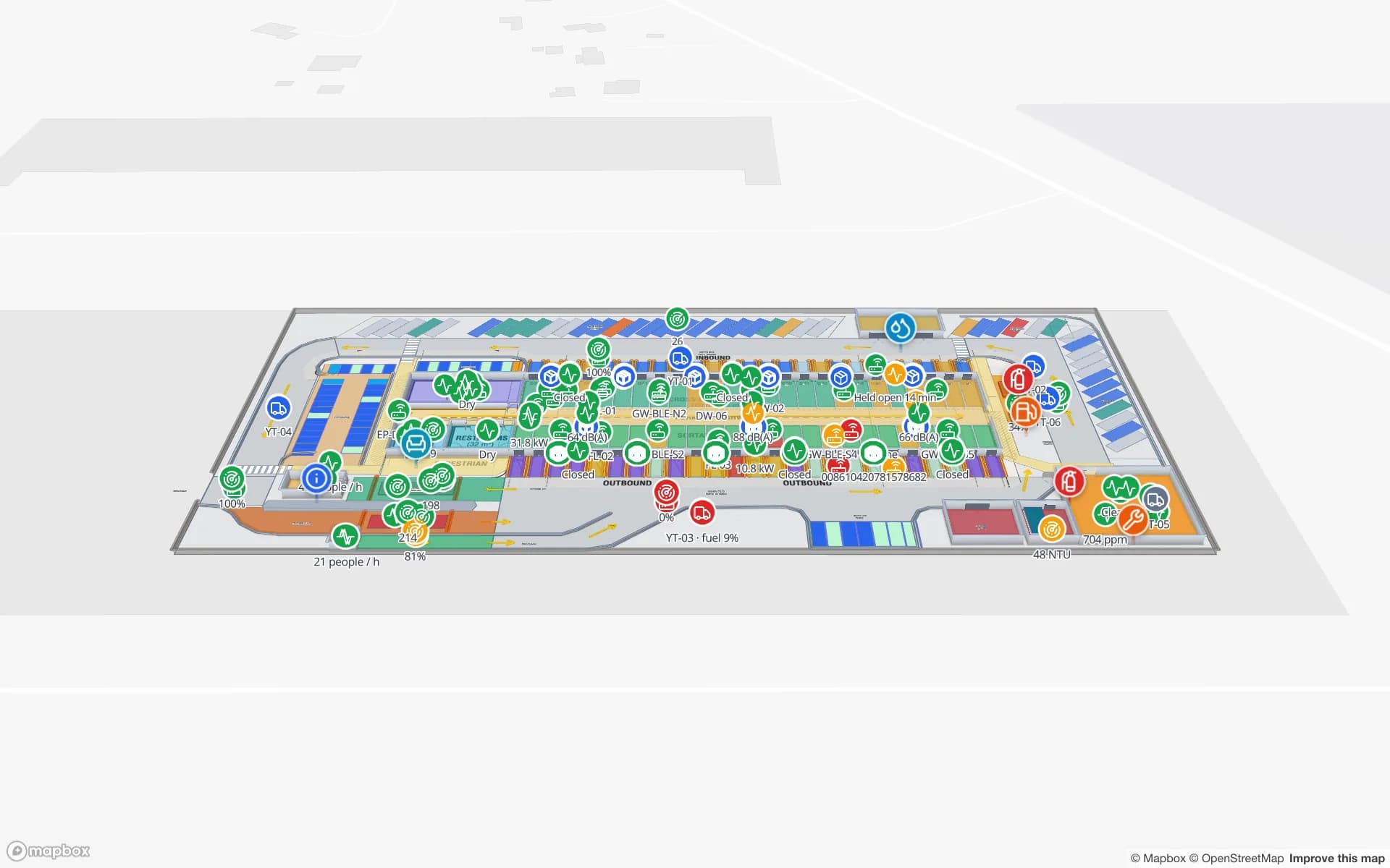
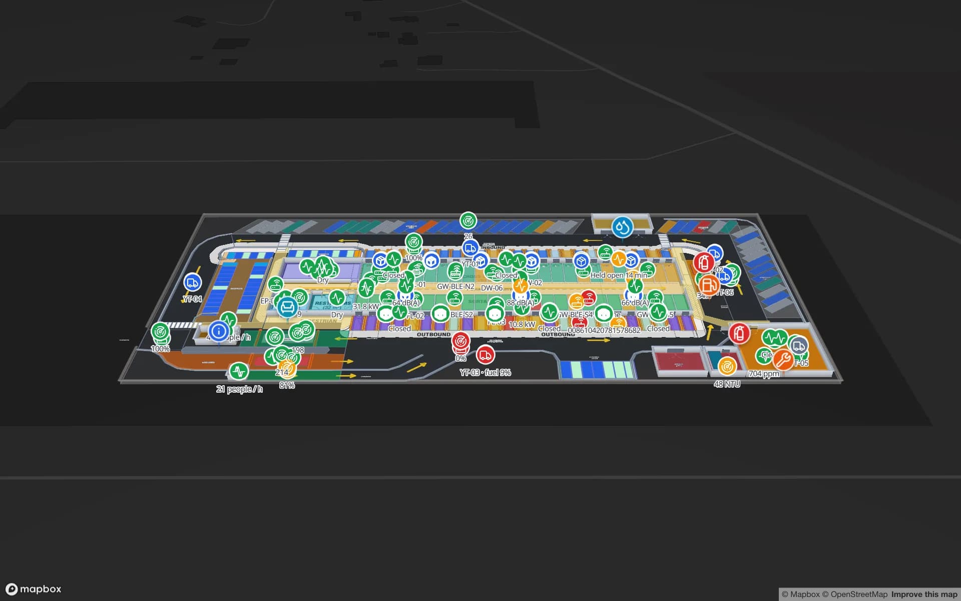
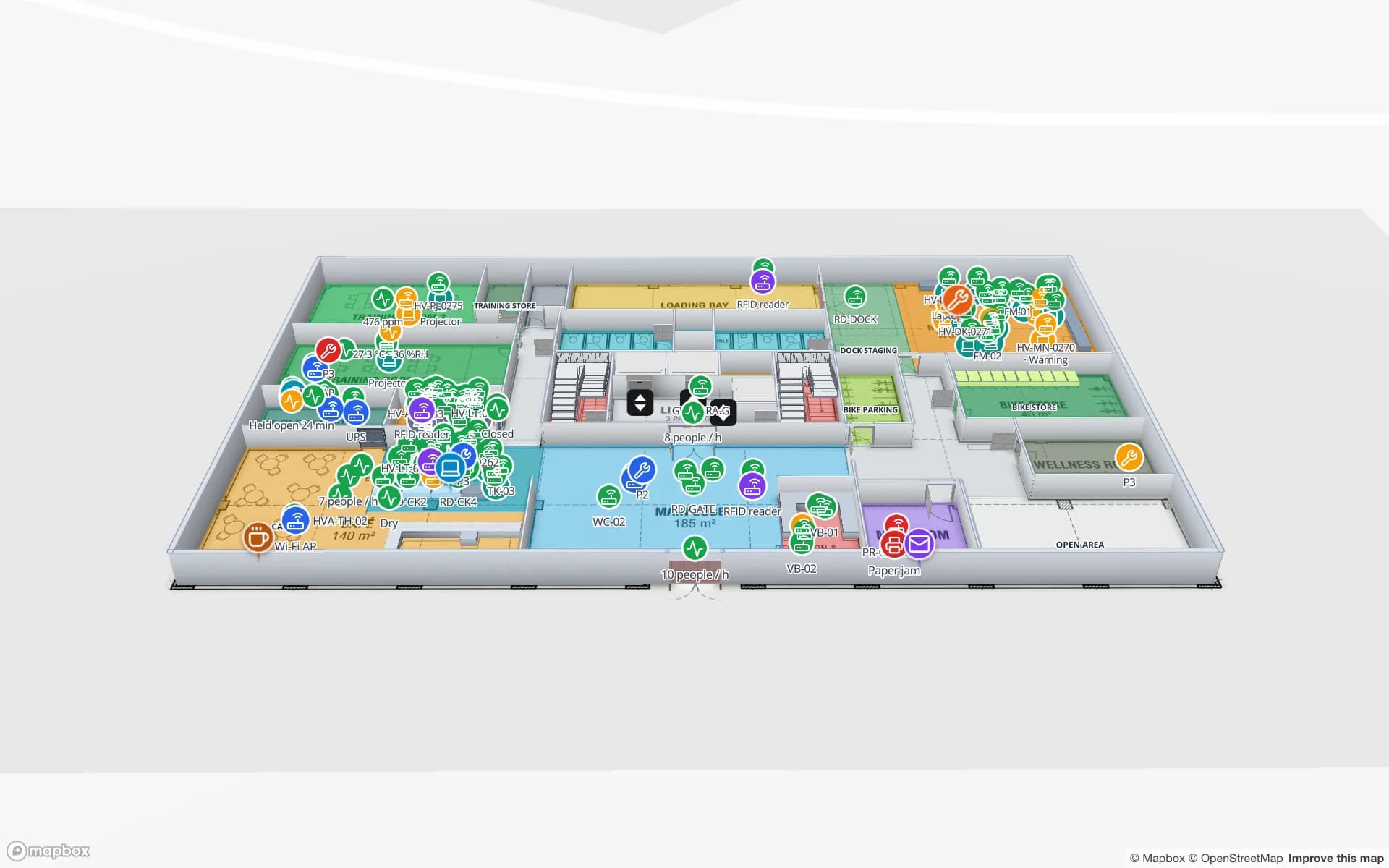
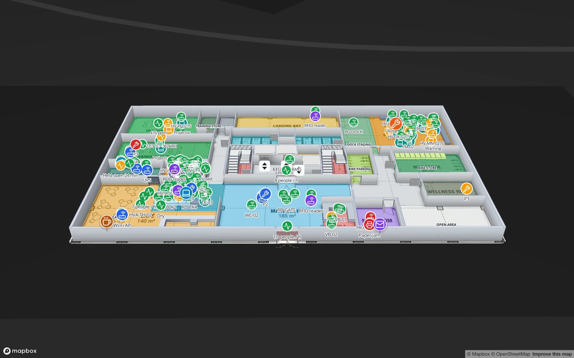
Spatial Map is browser-based indoor mapping software for operations teams. You import a PDF or DWG floor plan, let AI Map draft walls, doors, racks, stairs and lifts for you to review, trace the rest, and stack the floors into a 3D map. Then you bind every shape to live data — RFID reads, BLE tag positions from your RTLS, sensor readings, stock from a WMS — through tables, REST sources and a per-table write API. Reports, in-app alerts, read-only share links and multi-floor wayfinding with step-free routes come from the same map, and Ask AI (beta) answers questions about a facility from its tables. Pro is $60 a month or $600 a year for up to 4 facilities after a 7-day free trial, and an open-source edition (MIT) runs on your own servers.
Spatial Map is the right kind of tool if you already have — or are buying — an RTLS, RFID portals or BLE gateways, and you want a building map your own team builds and shares, with positions next to everything else. It is the wrong kind if you need the positioning itself: it sells no tags or anchors, computes no positions from signal strength, runs no safety logic such as collision avoidance and has no SDK for a blue dot in your own app. Pick an RTLS for that layer, and check it can send positions over REST if you want Spatial Map on top.