Comparison · Pointr

A Pointr alternative when you need a live map, not a blue dot

Weighing a Pointr alternative? Pointr is known for indoor positioning and navigation — the blue dot on a phone inside a building. Spatial Map does something different: it maps the building from your floor plans and shows live data from the systems you already run, including positions your RTLS engine reports. Which one you need depends on who is holding the phone.

Last reviewed:

No credit card. Runs in the browser. Pro is $60/month for up to 4 facilities. Book a demo

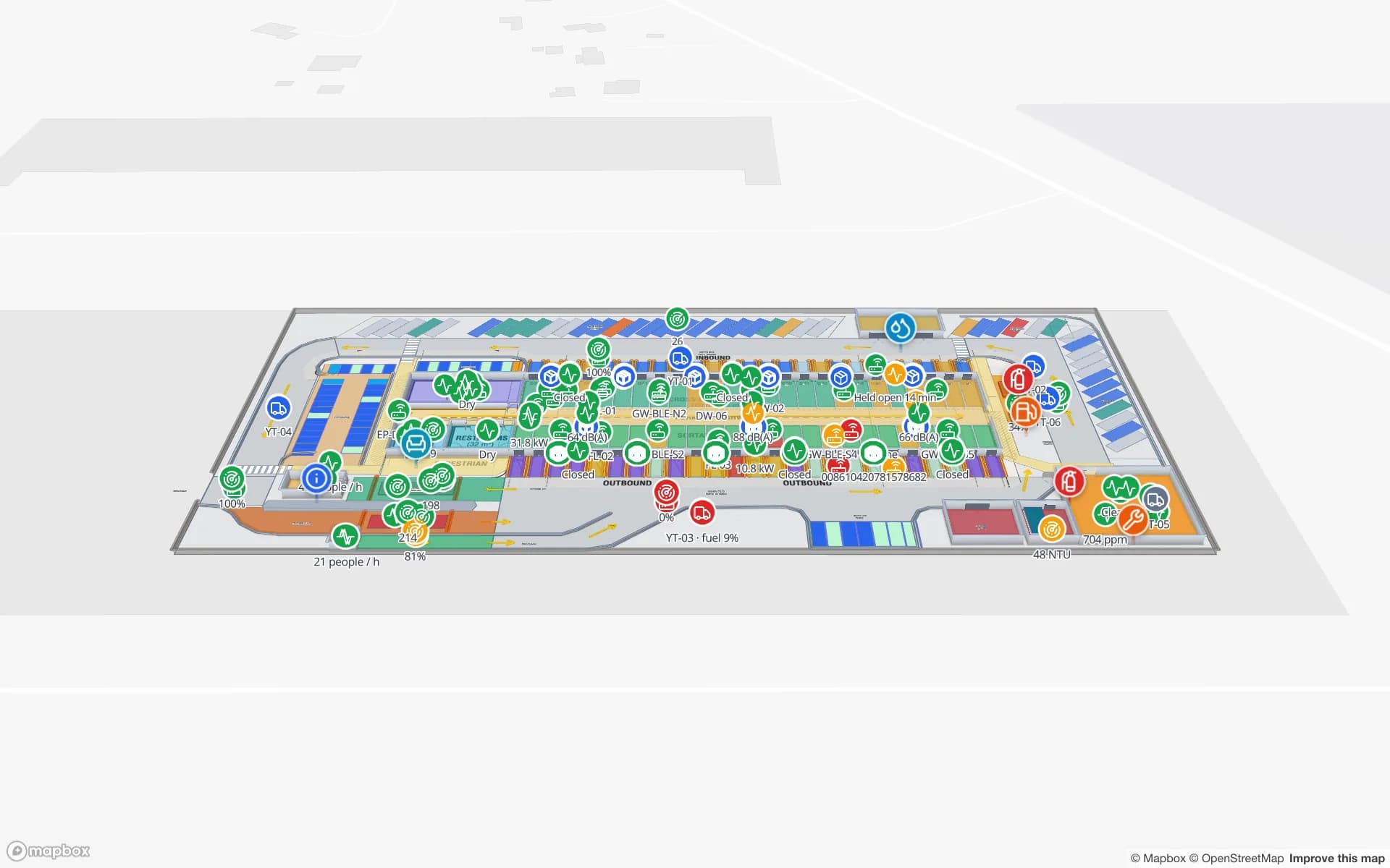
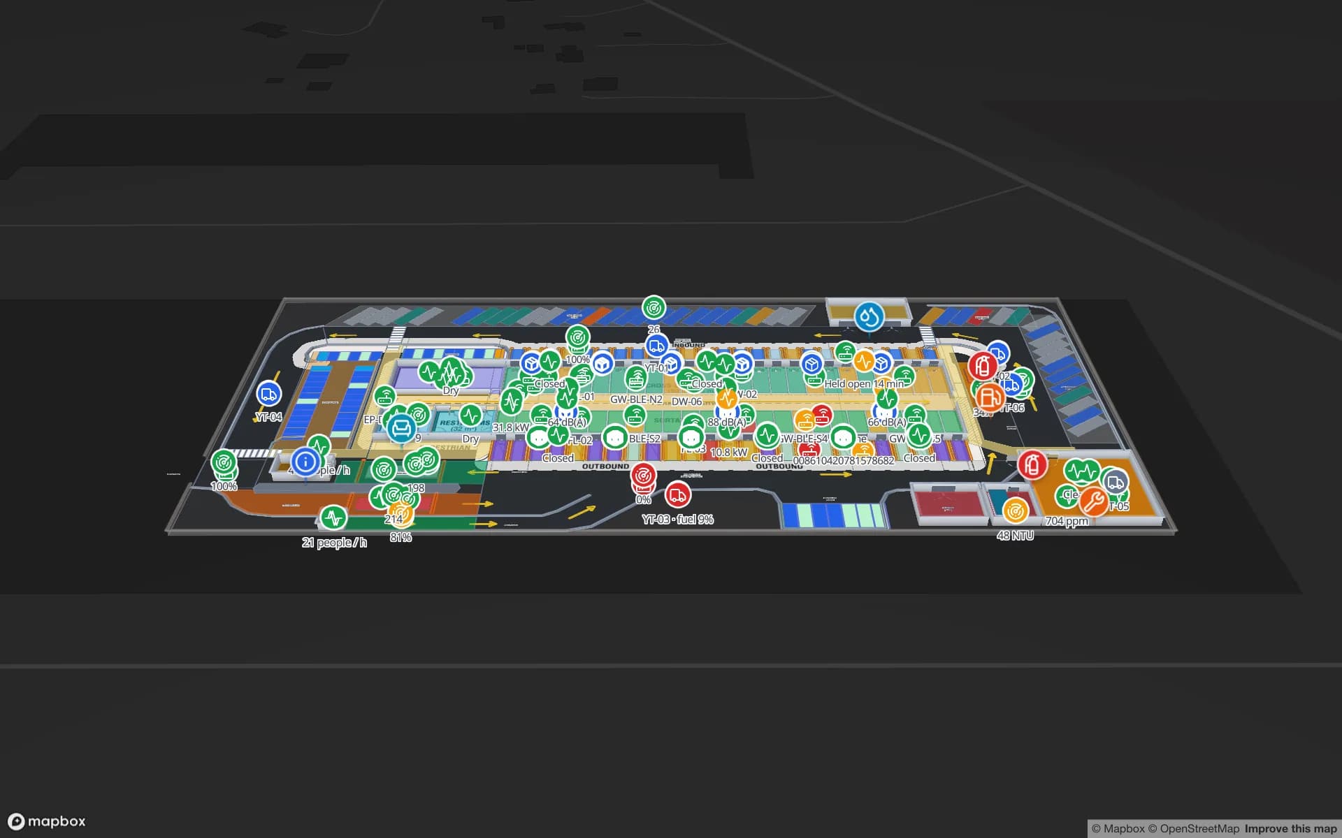
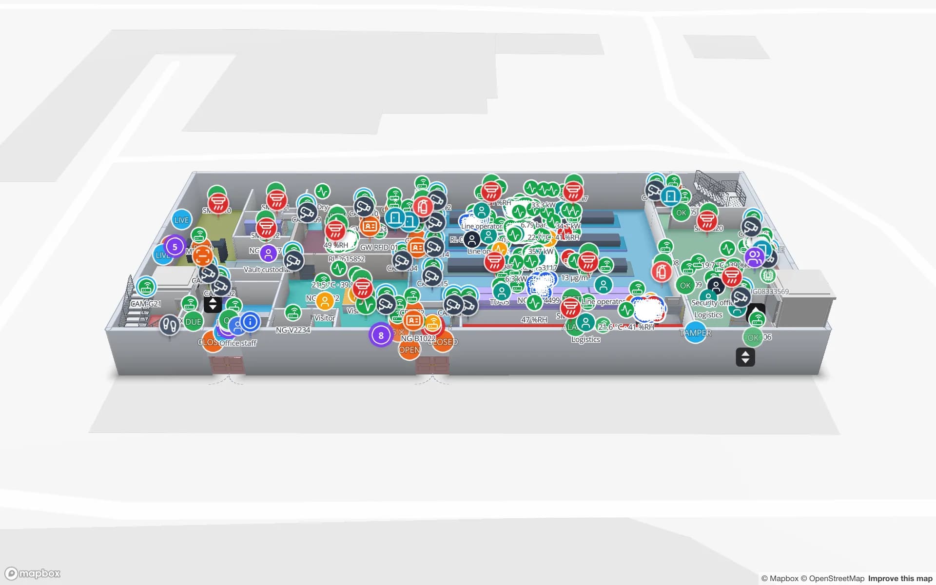
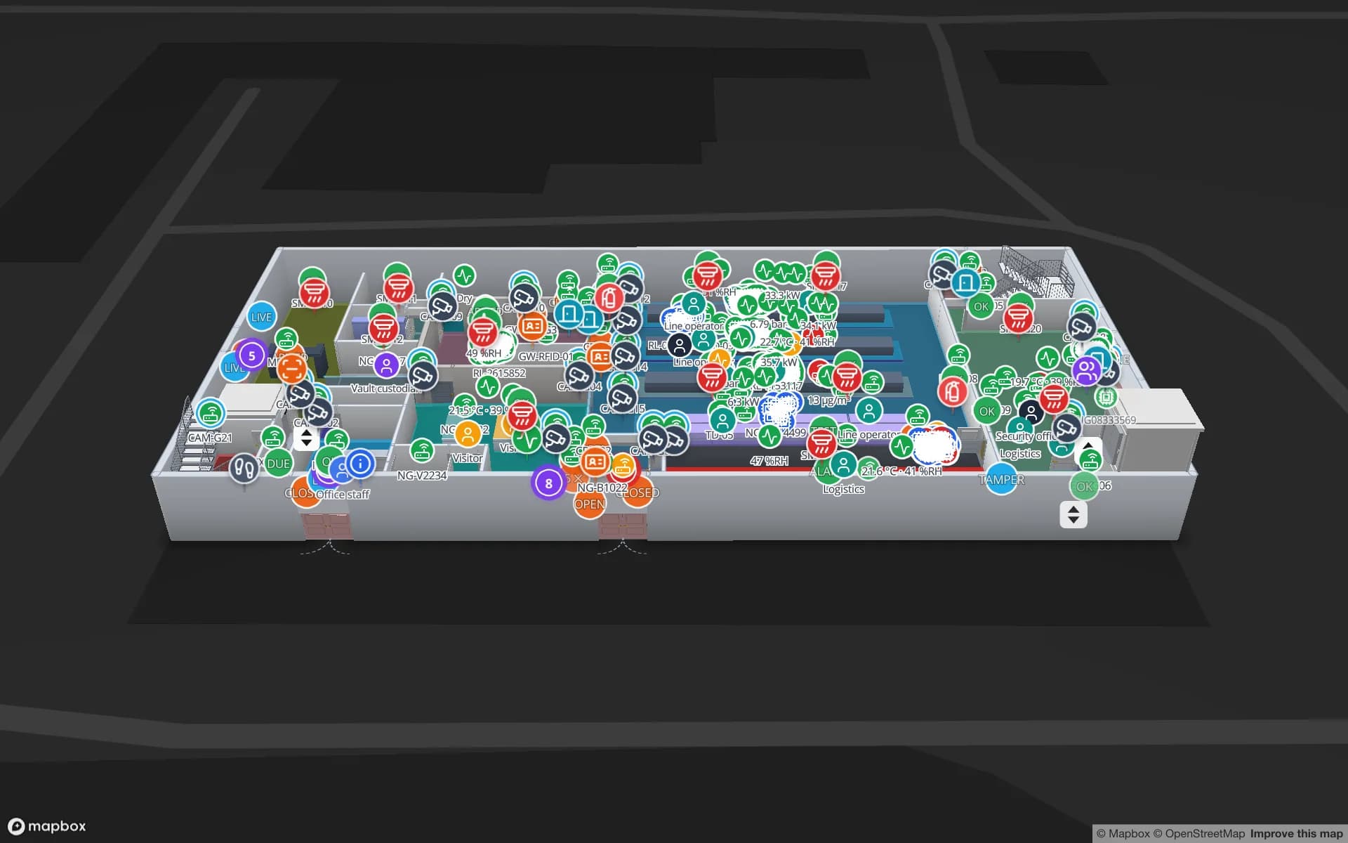
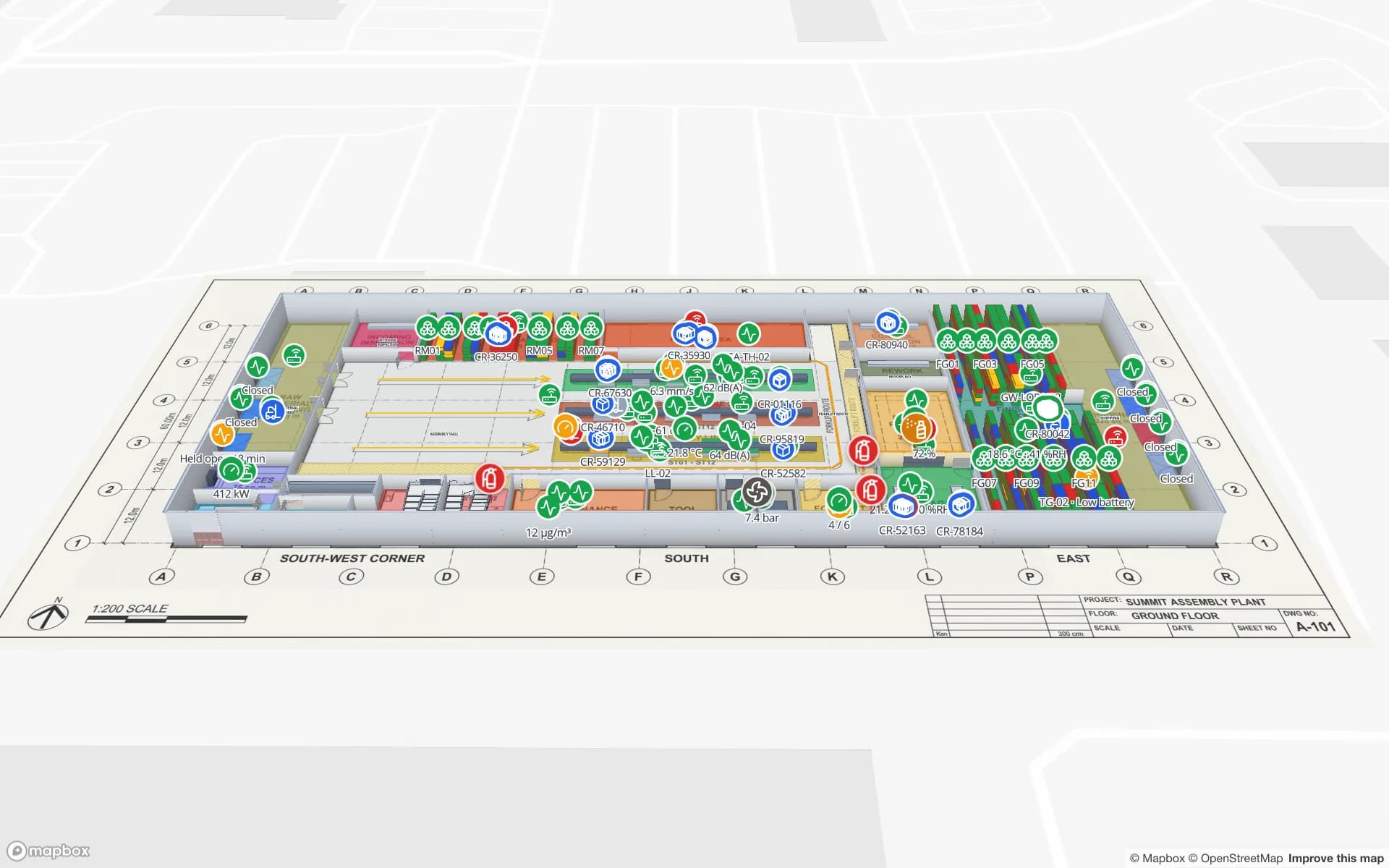
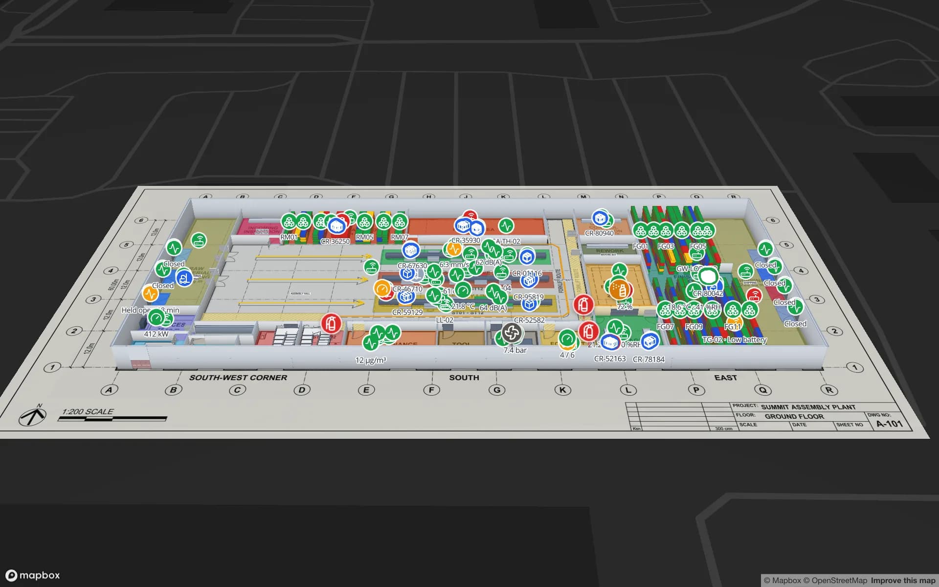
Summit Assembly Plant, a assembly plant demo, in the Spatial Map 3D viewer with live device markers
Summit Assembly Plant
Summit Assembly, a demo plant in Spatial Map: lines, WIP racks, docks and tagged equipment on one 3D map.

Pointr in brief

Pointr, headquartered in London, is known for indoor positioning — locating a phone inside a building, typically with Bluetooth beacons — together with indoor maps, navigation and space or workplace analytics, delivered through apps and mobile SDKs. Its public materials focus on large enterprises, workplaces and venues.
How Spatial Map differs

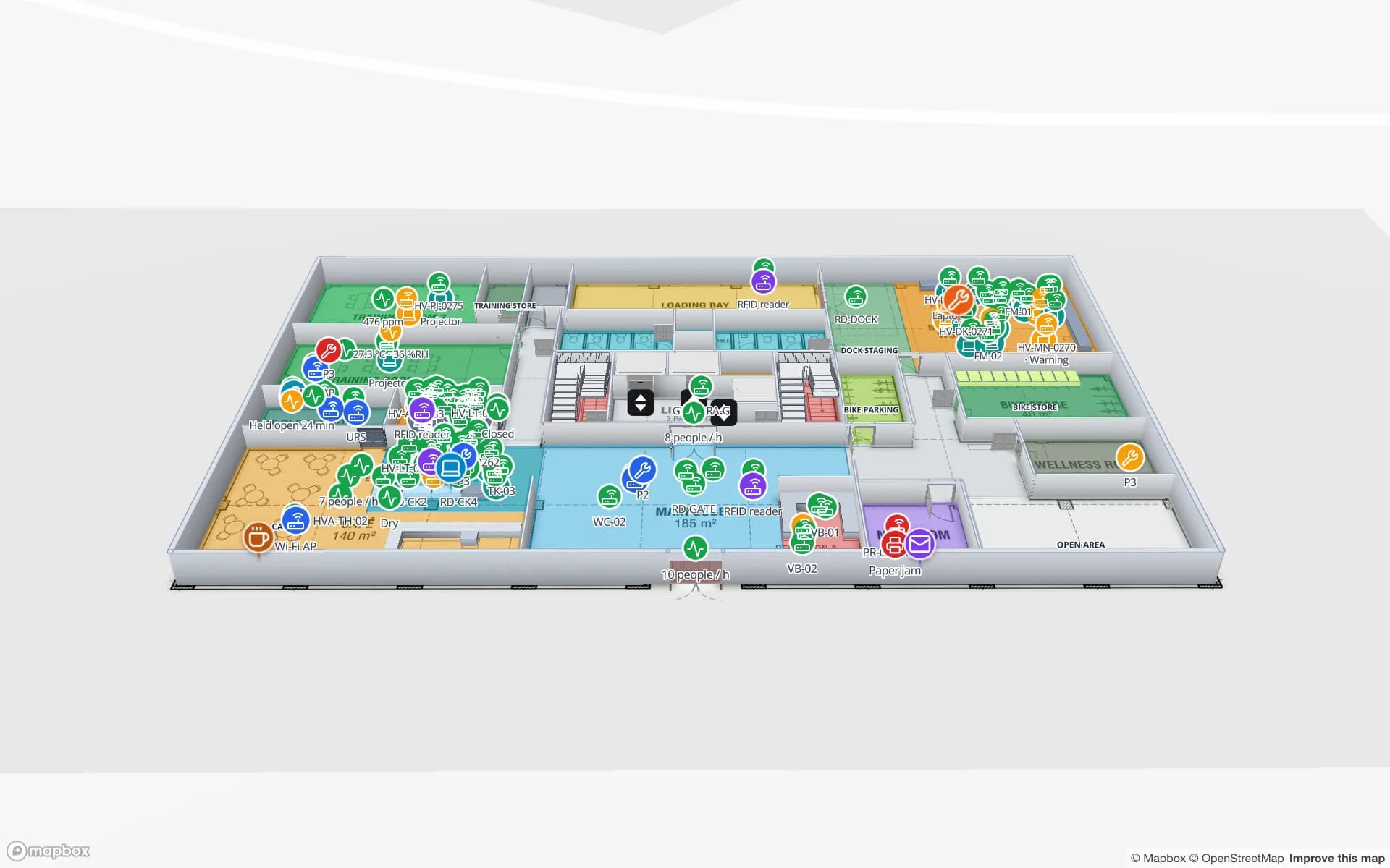
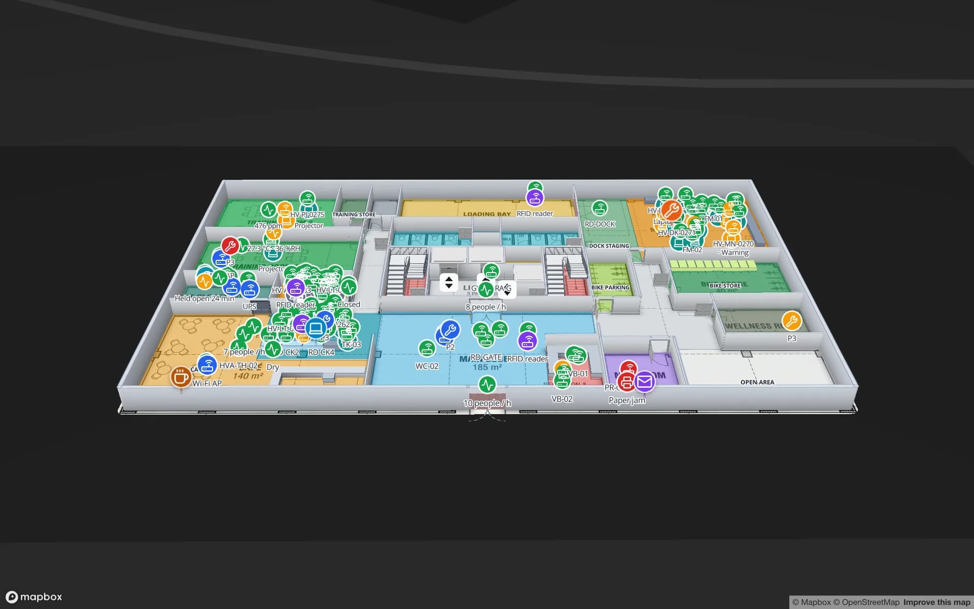
Spatial Map is browser-based indoor mapping software for operations teams. You import a PDF or DWG floor plan, trace rooms, walls, doors, racks, stairs and lifts into a multi-floor 3D map, then bind every shape to live data — RFID reads, BLE tag positions, sensor readings, stock from a WMS — through tables, REST sources and a per-table write API. Reports, read-only share links and single-floor turn-by-turn wayfinding come from the same map. Pro is $60 a month or $600 a year for up to 4 facilities after a 7-day free trial, and an open-source edition (MIT) runs on your own servers.

  • Hardware-agnostic — Spatial Map does not calculate positions. It displays what your RTLS engine, RFID middleware, gateways or sensors report, so you keep the hardware you have.
  • More than location — stock, temperatures, occupancy, reader health and work orders on the same map as tag positions.
  • Reports and sharing — built-in reports, a report builder, exports and read-only share links.
  • Transparent pricing and open source — $60 a month for Pro, or self-host the MIT-licensed code.

When Pointr may be the better choice

If you need people to see their own position and navigate on their phones — employees finding desks and rooms, visitors finding gates — you need an indoor positioning platform such as Pointr. Spatial Map has no phone positioning, no native mobile SDK, and its routes stay on one floor today.

When Spatial Map is the better fit

If the question is “where are our things, and what state are they in?” rather than “where am I?”. Warehouses, plants, stores and venues use Spatial Map to see tagged assets, pallets, sensors and stock on a live 3D map, whatever RFID, BLE or IoT hardware produced the data. See BLE asset tracking and RFID asset tracking software.

Spatial Map at a glance, and what to ask Pointr

Spatial MapWorth confirming with Pointr
Main focusLive operations maps for staff: assets, stock, sensorsIts focus for your use case (positioning, navigation, analytics)
PositioningShows positions from your RTLS engine; calculates noneHardware it needs and positioning accuracy
Floor-plan importPDF, DWG (R2004–R2018), PNG/JPG; you trace in the browserWho creates the indoor map
Live dataTables, REST sources, write API; data links to shapesWhich external data sources it can show
DeliveryWeb app and share links; no native SDKApp and SDK options
PricingPro $60/month or $600/year, up to 4 facilitiesPricing for your buildings
Self-hostingOpen-source edition, MITHosting options

Pointr and the other product names on this page are trademarks of their respective owners, used here only to identify their products. Spatial Map is not affiliated with or endorsed by them. The description of Pointr is based on its publicly available product information as of October 2026 and is deliberately general — features and terms change, so check the vendor’s own site before you decide. Spot something out of date? Tell us at [email protected] and we will correct it.

How Spatial Map does it

Evaluate Spatial Map next to Pointr in four steps

  1. 01

    Write down the job

    Wayfinding for visitors, live operations for staff, or both? The answer decides which tool fits.

  2. 02

    Import one real floor

    Start a 7-day trial (no card) and import the PDF or DWG of one floor you know well.

  3. 03

    Connect one live feed

    Push a few rows from your RFID, BLE, sensor or WMS system to a table and link them to shapes.

  4. 04

    Share it and compare

    Send a read-only link to the people who would use it daily and score both tools on the same building.

Where Spatial Map is used today

Each use case is running on a demo facility you can open in the browser.

Warehouse inventory

Rack locations coloured by stock status from the WMS, with staging lanes and docks.

Asset tracking

RFID and BLE-tagged equipment located room by room across floors.

Venue operations

Gates, counts, staff and environment sensors on a multi-floor venue map.

See it on real demo facilities

Fictional names, real floor plans, live sensors, RFID, BLE tags and gateways — open any of them in the browser.

All 13 demo facilities

Pointr alternative — frequently asked questions

For tracking assets and showing live operational data on a building map, yes. For blue-dot navigation on people’s phones, an indoor positioning platform is the right tool.

No. Spatial Map works with whatever data you have: RFID reads, BLE positions from your RTLS engine, sensor readings or a stock export. Without any hardware it is still a 3D map with reports.

Yes. Post positions or room presence from your RTLS engine to a table, or let Spatial Map poll its REST endpoint; data links show them as live markers or coloured rooms, with history.

A 7-day free trial (up to 5 facilities, no card), then Pro at $60 a month or $600 a year for up to 4 facilities. The open-source edition is free under the MIT licence.

See where your things are, live.

Start a free trial, connect one RFID, BLE or sensor feed, and share the map with your team.