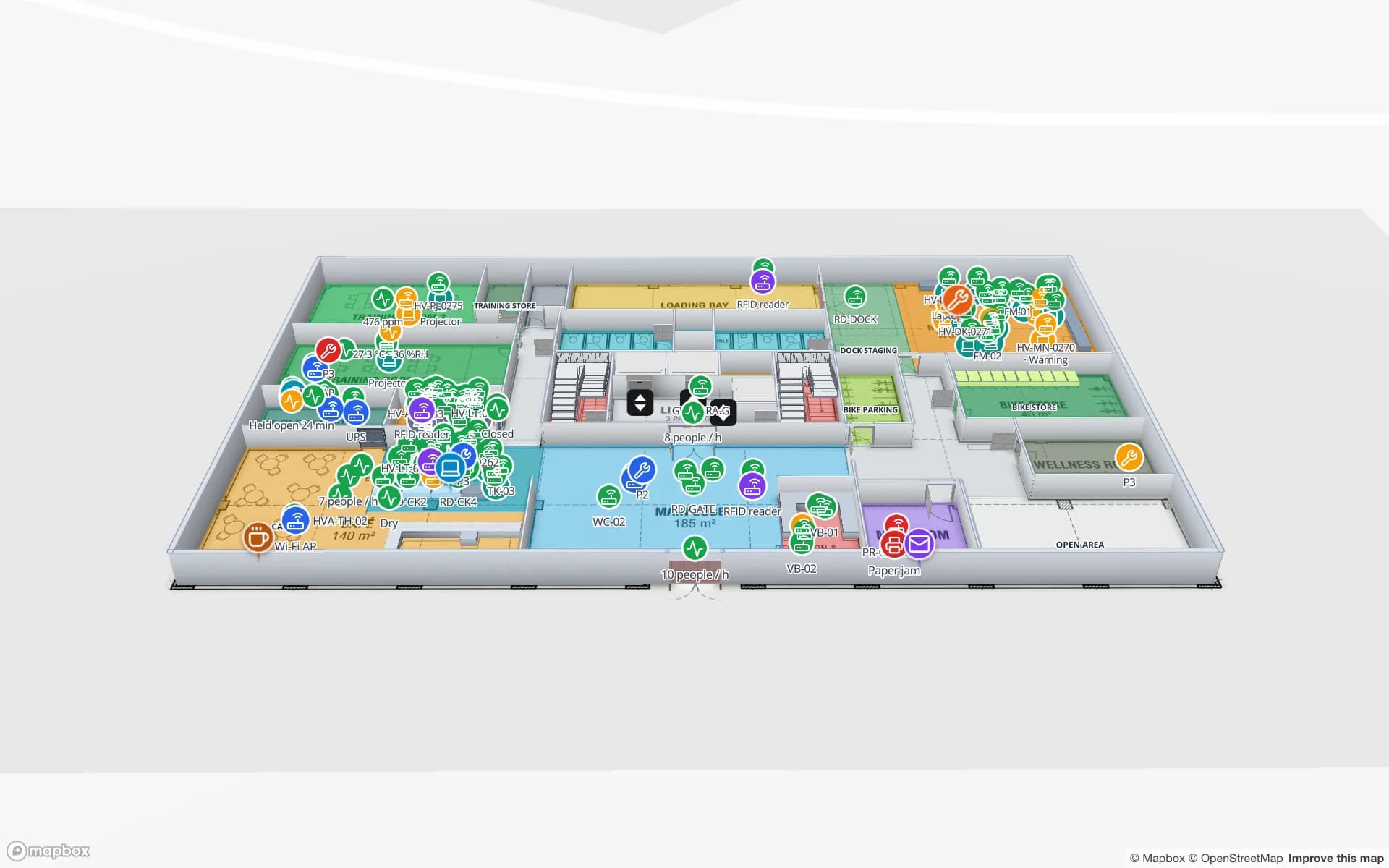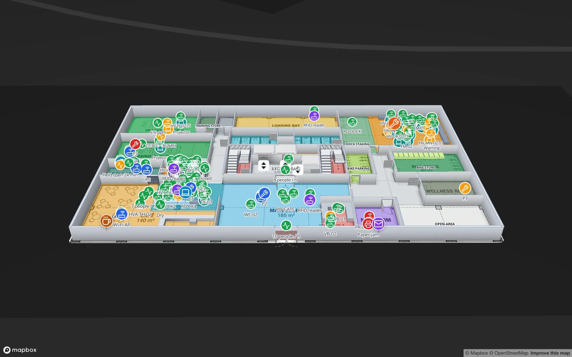
Comparison · Navigine

A Navigine alternative for self-serve maps and the hardware you already have

Spatial Map is indoor mapping software that turns your floor plans into a live 3D map and shows positions and readings from the systems you already run. If you are weighing a Navigine alternative, the key difference is who supplies the positioning. Navigine is known for indoor navigation and RTLS built on its own positioning stack and SDK. Spatial Map calculates no positions: it maps the building and displays what your RTLS, RFID and sensors report.

Last reviewed:

No credit card. Runs in the browser. Pro is $60/month for up to 4 facilities. Book a demo

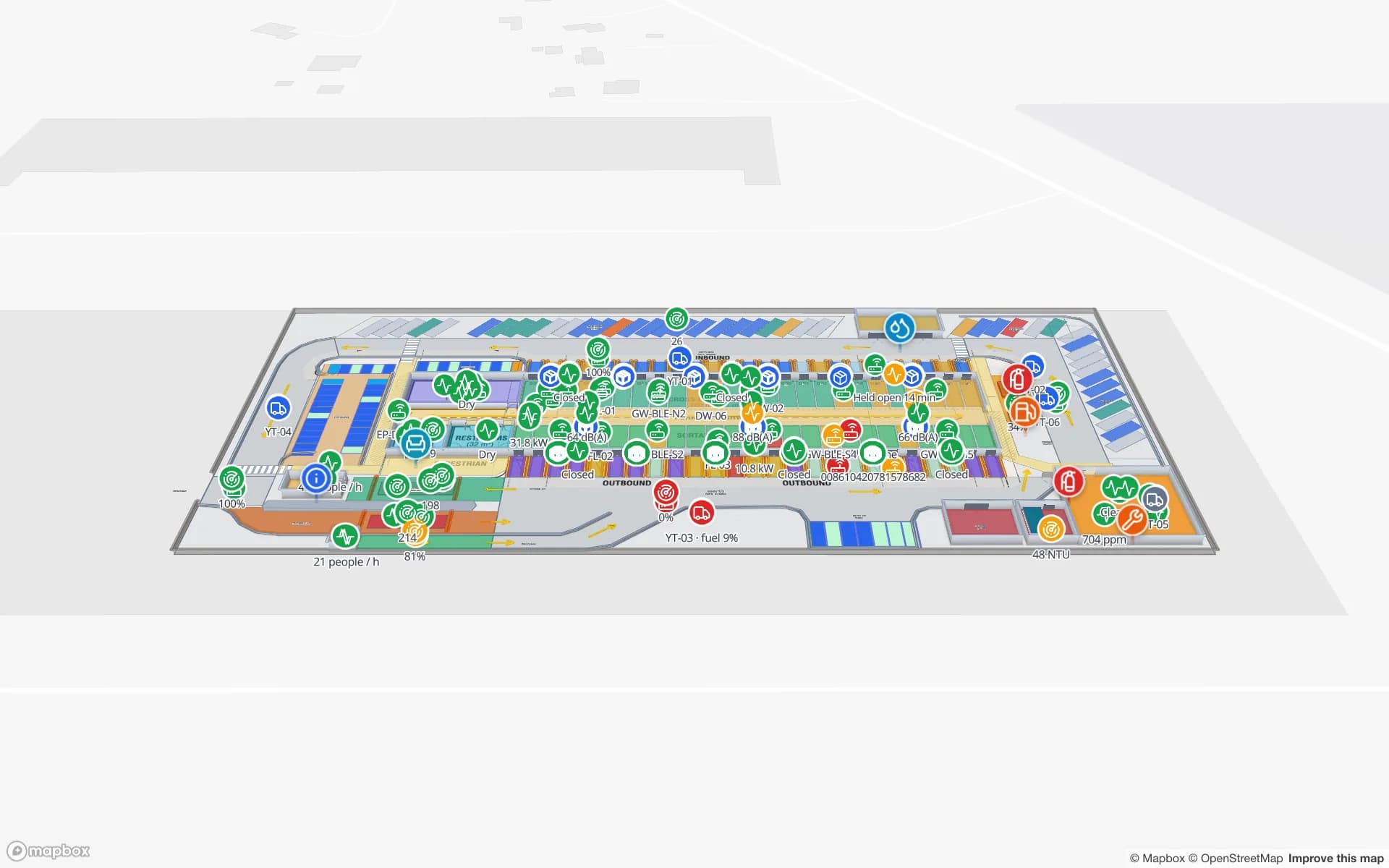
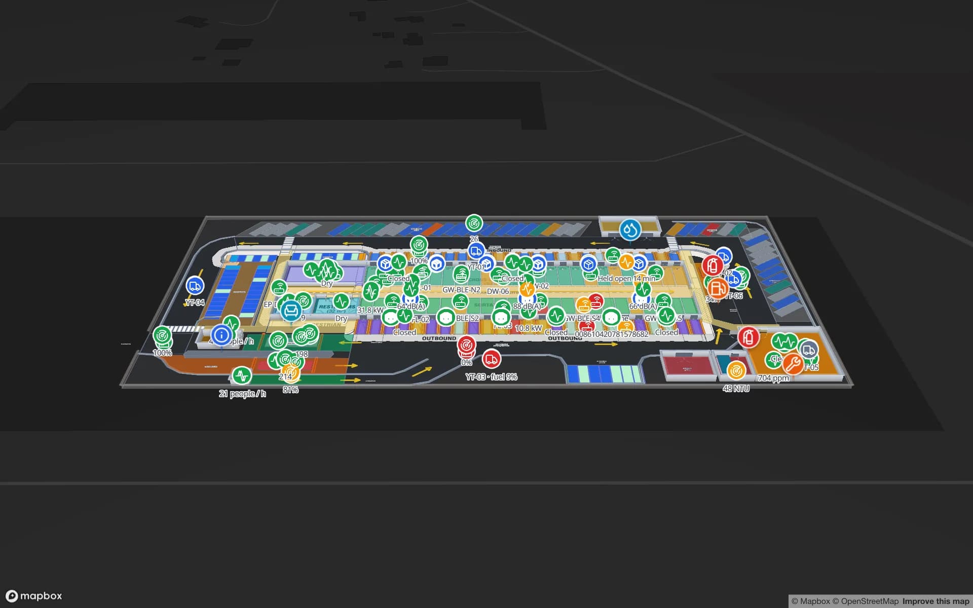
Eastport Cross-Dock Freight Hub, a cross-dock & trailer yard demo, in the Spatial Map 3D viewer with live device markers
Eastport Cross-Dock Freight Hub
Eastport Cross-Dock, a demo freight hub in Spatial Map: trailers, yard tractors, dock doors and gates on one live map.

Navigine in brief

Navigine, based in New York, describes itself as an enterprise indoor navigation and real-time location system (RTLS) platform. Its site covers wayfinding for visitors and staff, asset tracking, worker-safety zones and geofencing, positioning with BLE, UWB and Wi-Fi hardware, and a mobile SDK for building indoor maps and navigation into your own apps. It lists industries from manufacturing, logistics and healthcare to retail, museums and universities. Enterprise pricing is by request.
How Spatial Map differs

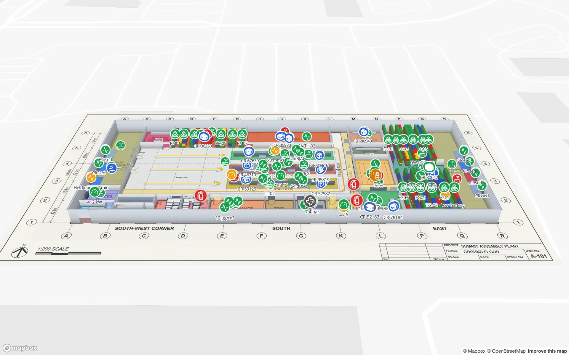
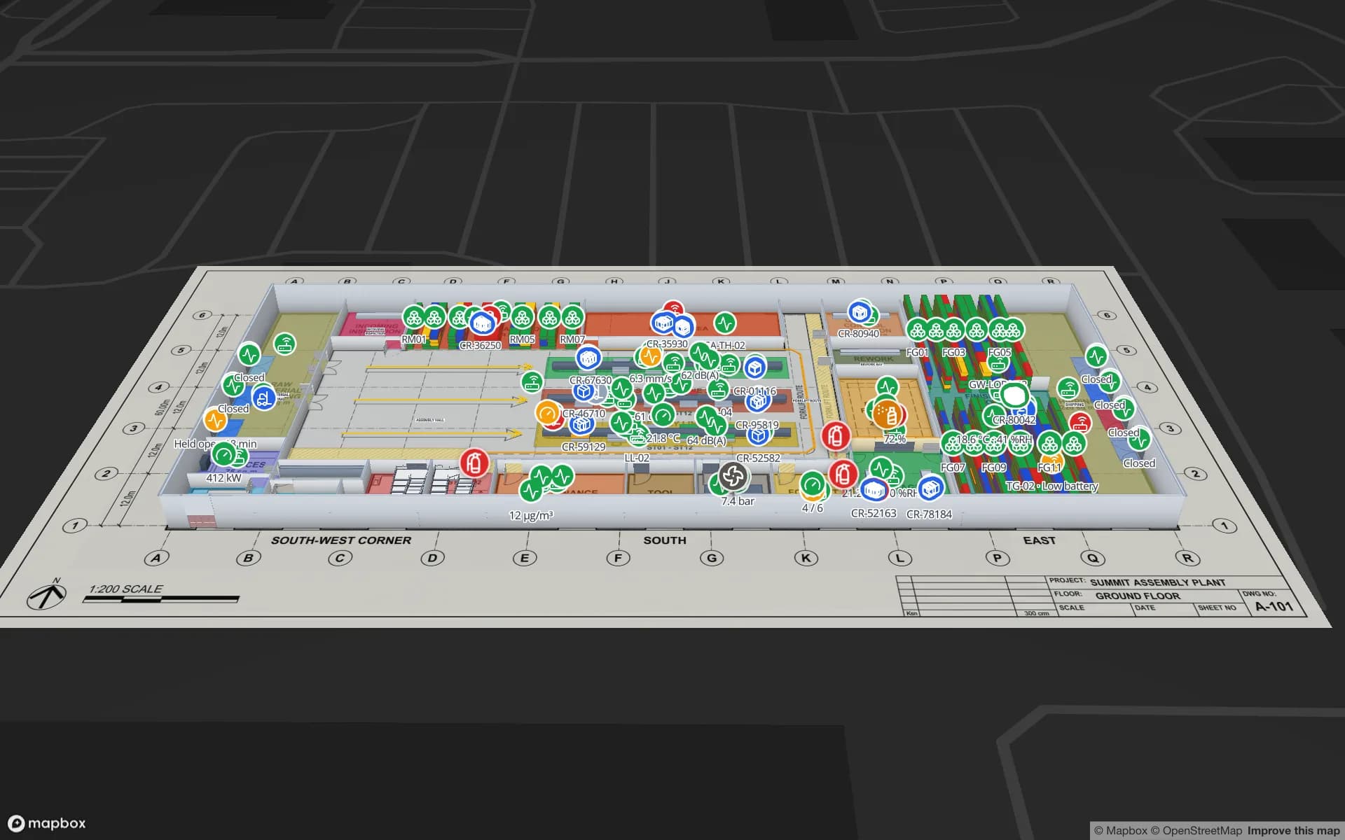
Spatial Map is browser-based indoor mapping software for operations teams. You import a PDF or DWG floor plan, let AI Map draft walls, doors, racks, stairs and lifts for you to review, trace the rest, and stack the floors into a 3D map. Then you bind every shape to live data — RFID reads, BLE tag positions from your RTLS, sensor readings, stock from a WMS — through tables, REST sources and a per-table write API. Reports, in-app alerts, read-only share links and multi-floor wayfinding with step-free routes come from the same map, and Ask AI (beta) answers questions about a facility from its tables. Pro is $60 a month or $600 a year for up to 4 facilities after a 7-day free trial, and an open-source edition (MIT) runs on your own servers.

  • Bring your own positioning — Spatial Map does not calculate positions. Your RTLS engine, gateway or middleware writes positions or room presence to a table, or Spatial Map polls its REST endpoint.
  • Self-serve map building — import a PDF or DWG, let AI Map draft walls, doors, racks, stairs and lifts for review, and finish the floor in the browser, without a deployment project.
  • More than location — stock, temperatures, reader health, work orders and alerts on the same map as tag positions, with history you can replay.
  • A public price and open source — Pro is $60 a month, and the open-source edition is MIT licensed.

When Navigine may be the better choice

If you need one supplier for positioning and the map — hardware chosen for the accuracy you need, a positioning engine, and an SDK so your own mobile app shows a live blue dot and turn-by-turn navigation — a platform such as Navigine is built for that. Spatial Map has no positioning engine, no mobile SDK and no live position of the person holding the phone.

When Spatial Map is the better fit

If the positioning already exists — an RTLS from another vendor, RFID portals, BLE gateways, sensors — and what is missing is a building map that your team can build, update and share themselves. Spatial Map puts those readings on a 3D map with reports and read-only share links. See RTLS software for how positions reach the map, and BLE asset tracking for tag data.

Spatial Map at a glance, and what to ask Navigine

Spatial MapWorth confirming with Navigine
Main focusLive operations maps for staff, built self-serveIts focus for your use case (navigation, RTLS, analytics)
PositioningShows positions from your RTLS, gateways or middleware; calculates noneWhich hardware it needs and how positioning is set up
Map buildingPDF, DWG, PNG/JPG import; AI Map drafts; you finish in the browserWho builds and updates the indoor map
Other live dataTables, REST sources, write API; stock, sensors, alertsWhich non-location data it can show
DeliveryWeb app and share links; no native SDKMobile SDK and app options
PricingPro $60/month or $600/year, up to 4 facilities, publishedPricing for your sites and hardware
Self-hostingOpen-source edition, MITHosting options

Navigine and the other product names on this page are trademarks of their respective owners, used here only to identify their products. Spatial Map is not affiliated with or endorsed by them. The description of Navigine is based on its publicly available product information as of November 2026 and is deliberately general — features and terms change, so check the vendor’s own site before you decide. Spot something out of date? Tell us at [email protected] and we will correct it.

How Spatial Map does it

Evaluate Spatial Map next to Navigine in four steps

  1. 01

    Write down the job

    Wayfinding for visitors, live operations for staff, or both? The answer decides which tool fits.

  2. 02

    Import one real floor

    Start a 7-day trial (no card) and import the PDF or DWG of one floor you know well.

  3. 03

    Connect one live feed

    Push a few rows from your RFID, BLE, sensor or WMS system to a table and link them to shapes.

  4. 04

    Share it and compare

    Send a read-only link to the people who would use it daily and score both tools on the same building.

Where Spatial Map shows RTLS data today

Each use case is running on a demo facility you can open in the browser.

Equipment and asset tracking

Tagged equipment located room by room across three floors, with check-out by department.

Yard and dock visibility

Trailers, yard tractors and pallets moving through a cross-dock, with gates and dock doors logging every turn.

Work in progress on the line

WIP carriers tracked between workstations, next to line output, andon calls and dock appointments.

See it on real demo facilities

Fictional names, real floor plans, live sensors, RFID, BLE tags and gateways — open any of them in the browser.

All 13 demo facilities

Navigine alternative — frequently asked questions

For building your own indoor map and showing data from hardware you already run, yes. For a positioning stack with an SDK that puts a live blue dot in your own mobile app, a platform such as Navigine fits better.

No. Positions come from your RTLS engine, gateway or middleware and are written to a Spatial Map table, or polled from its REST endpoint. Spatial Map shows them as live markers or coloured rooms, with history.

Yes, if your system can send positions or room presence over REST. Spatial Map is not tied to a radio technology; it reads the coordinates or zone names your system produces.

No. It is a web app; the viewer and read-only share links open in any modern browser, including on phones and tablets.

A 7-day free trial (up to 5 facilities, no card), then Pro at $60 a month or $600 a year for up to 4 facilities. The open-source edition is free under the MIT licence.

Map the building yourself, keep your hardware.

Start a free trial, import one floor and push a few positions from your RTLS to a table.