Tanger Med and the northern corridor
Tanger Med is described by its operator as a port complex developed over 1,000 hectares, made up of Tanger Med 1, a trucks and passengers port and Tanger Med 2, and it handles containers, TIR trucks, hydrocarbons, passengers and new vehicles. The group also plans and develops more than 3,000 hectares of activity zones that, by its own count, host over 1,500 companies in automotive, aerospace, electronics, textiles, agri-business, offshoring, retail and logistics.
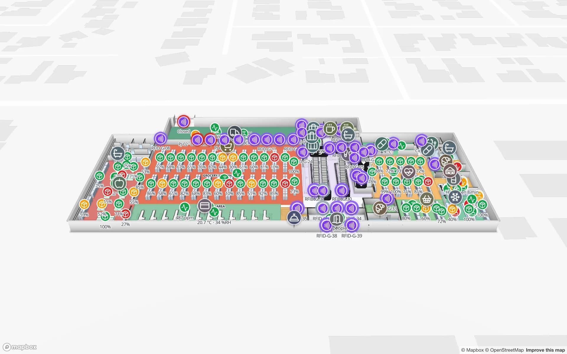
For a plant or a distribution centre in those zones the questions are inside the building: which returnable rack is at which line, which pallet is staged for which truck, which trailer is waiting at which door. Spatial Map draws the building, and your RFID reads and WMS rows place each item on it, as in the Eastport Cross-Dock demo with 50 dock doors and 1,180 RFID pallets. Our page on RFID tracking in Tangier goes through the zones one by one. Spatial Map does not connect to port, customs or terminal systems.