Riyadh · KAFD, the airport and Riyadh Season

Indoor mapping in Riyadh for towers, malls, venues and logistics zones

Spatial Map turns floor plans into a multi-floor 3D map in the browser, with live data on top and walking routes that cross floors by stairs, lifts and escalators. Indoor mapping in Riyadh covers an unusual mix of buildings: office towers in the King Abdullah Financial District, very large malls, seasonal entertainment venues and new logistics buildings beside King Khalid International Airport. Each can be mapped from its drawings and used in Arabic or English.

No credit card. Runs in the browser. Pro is $60/month for up to 4 facilities. Book a demo

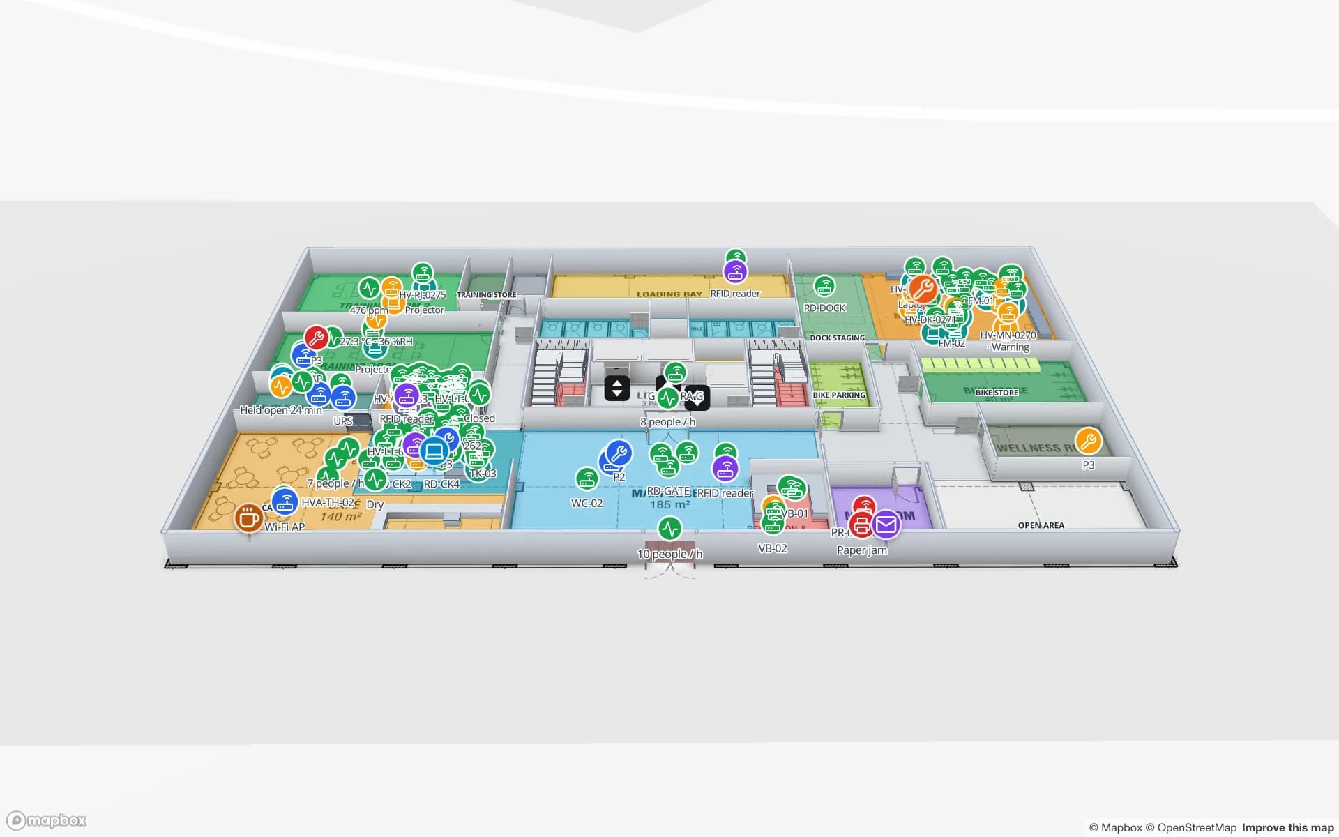
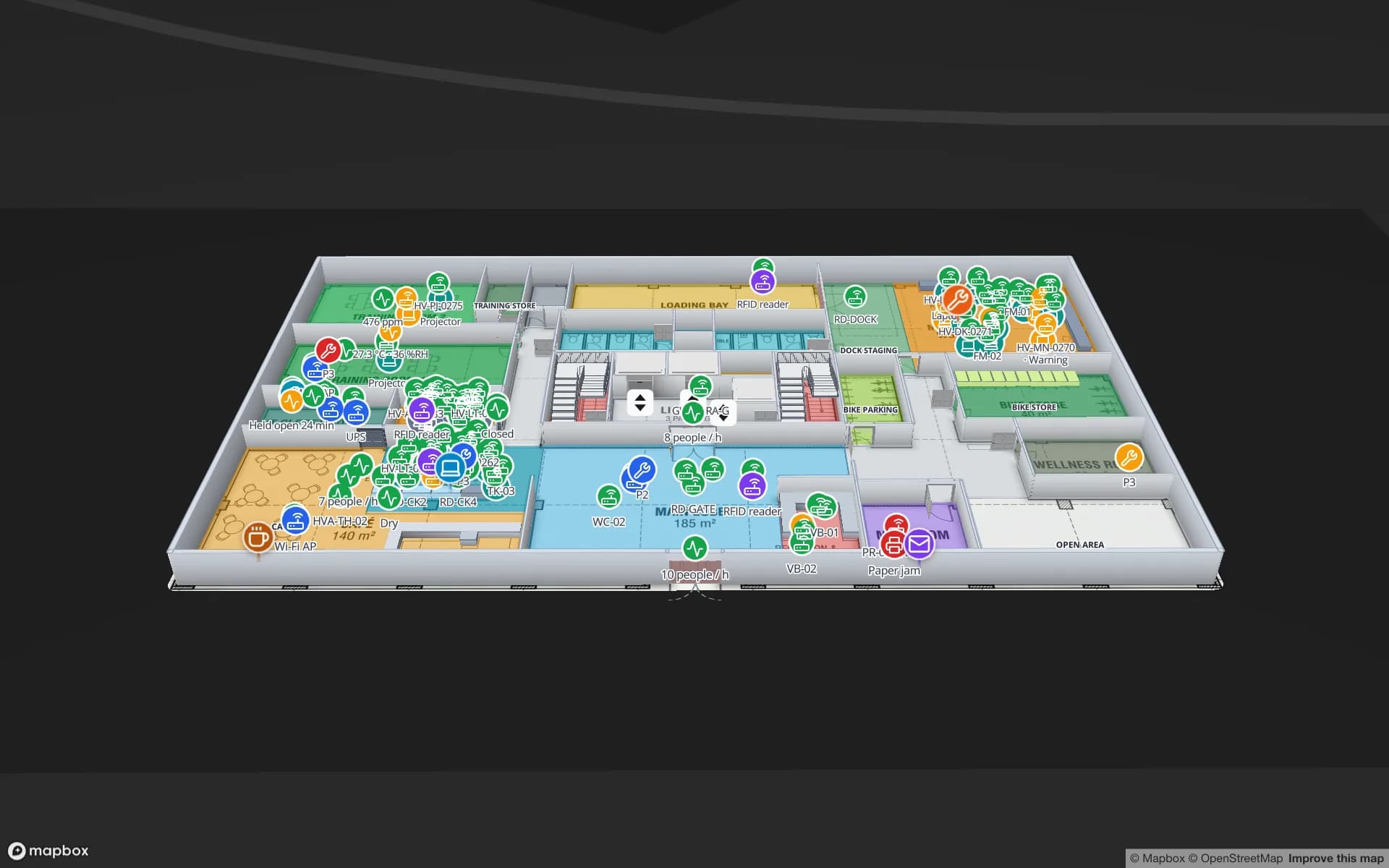
Harborview Corporate Campus — Building A, a corporate office building demo, in the Spatial Map 3D viewer with live device markers
Harborview Corporate Campus — Building A
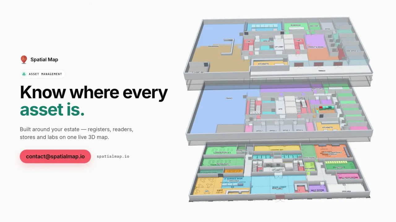
Harborview Corporate Campus, a demo office building: three floors of departments, meeting rooms, stores and tagged equipment, with work orders on the same map.
Route options: Fastest, Step-free and Other route
3
Office floors in the Harborview demo
3
Arabic interface with full right-to-left layout
العربية
Free trial, up to 5 facilities, no card
7 days

KAFD: a district of towers, mapped floor by floor

The King Abdullah Financial District (KAFD), in the north of the city, is a dense cluster of office towers, and the Riyadh Metro, which opened in stages from late 2024, now serves it. For a facilities team in one of those towers the building is a stack of nearly identical floors, each with its own meeting rooms, stores, printers and equipment on loan.

Spatial Map stacks those floors in 3D and binds the asset register, equipment checkout, room bookings and work orders to them, as the Harborview demo does over three floors. With Ask AI (beta), a facilities coordinator can ask “how many laptops are checked out on floor 14?” and get an answer from the tables, with links that show the items on the map. Ask AI is read-only and masks personal values before the model sees them.
Routes that cross floors: malls and car parks

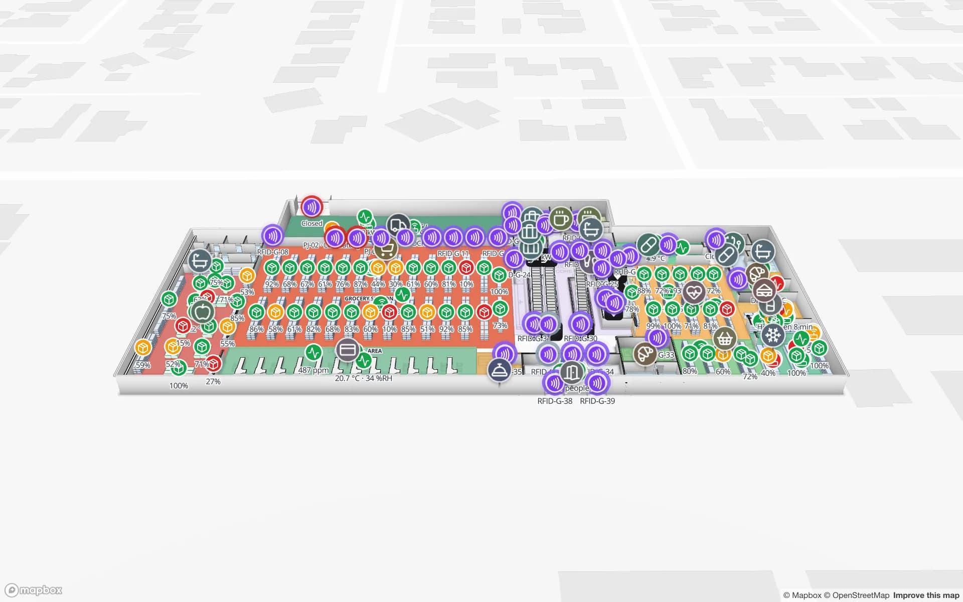
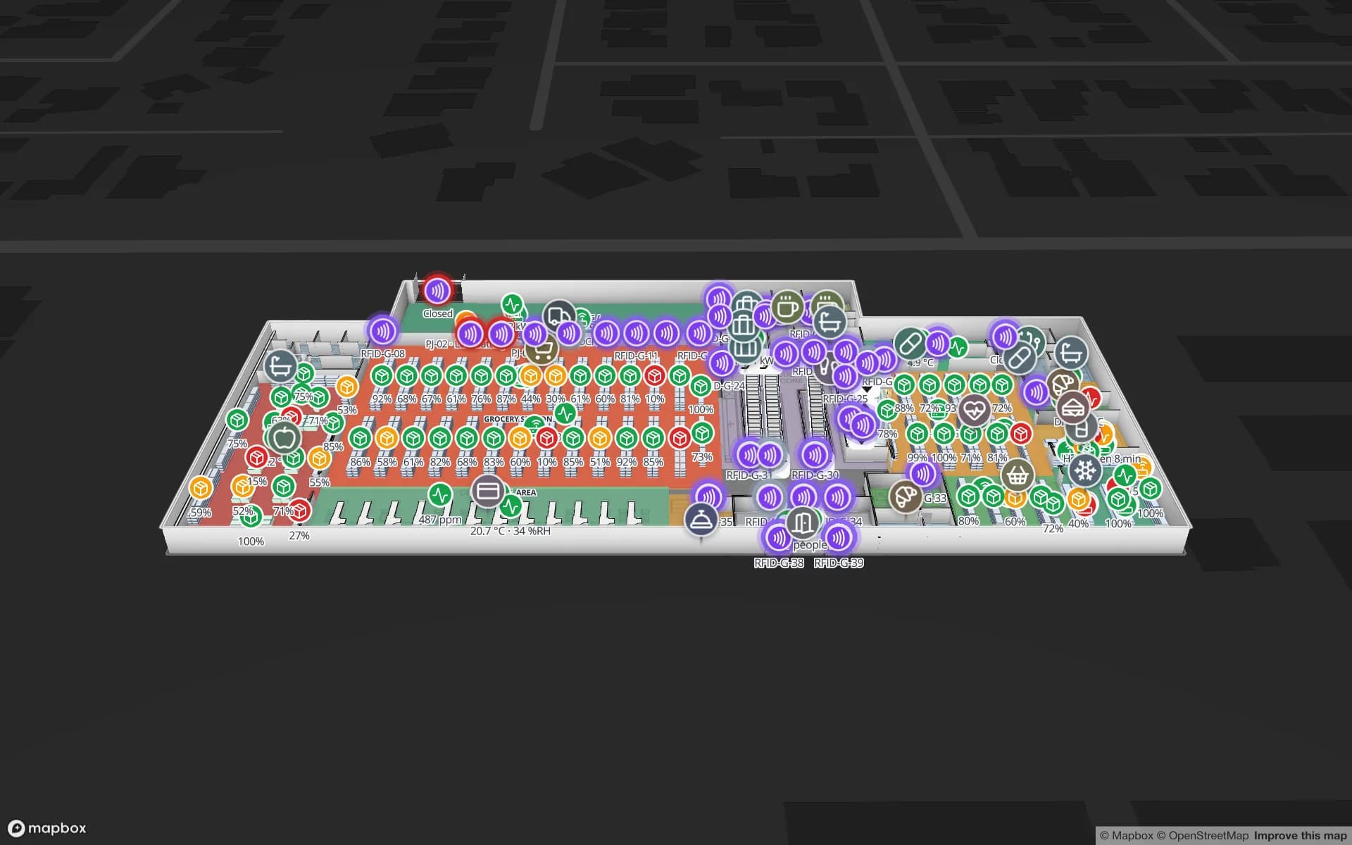
Riyadh’s largest malls spread shops, food courts and family entertainment over several levels, with car parks above or below. A visitor’s route nearly always changes floor. Spatial Map routes across floors through stairs, lifts and escalators, with Fastest, Step-free and Other route options, turn-by-turn steps, walking minutes and each floor change listed on the way. Step-free routing matters for families with pushchairs, older visitors and wheelchair users.

Routes work in the viewer and on read-only share links, so a QR code at a car-park lift lobby can open the map on the visitor’s phone, in Arabic or English, with no app. There is no live blue dot: the visitor picks a start point, and the map does not position their phone. The Retail Mart demo shows three floors joined by an escalator core and lifts.

Riyadh Season: venues that change every winter

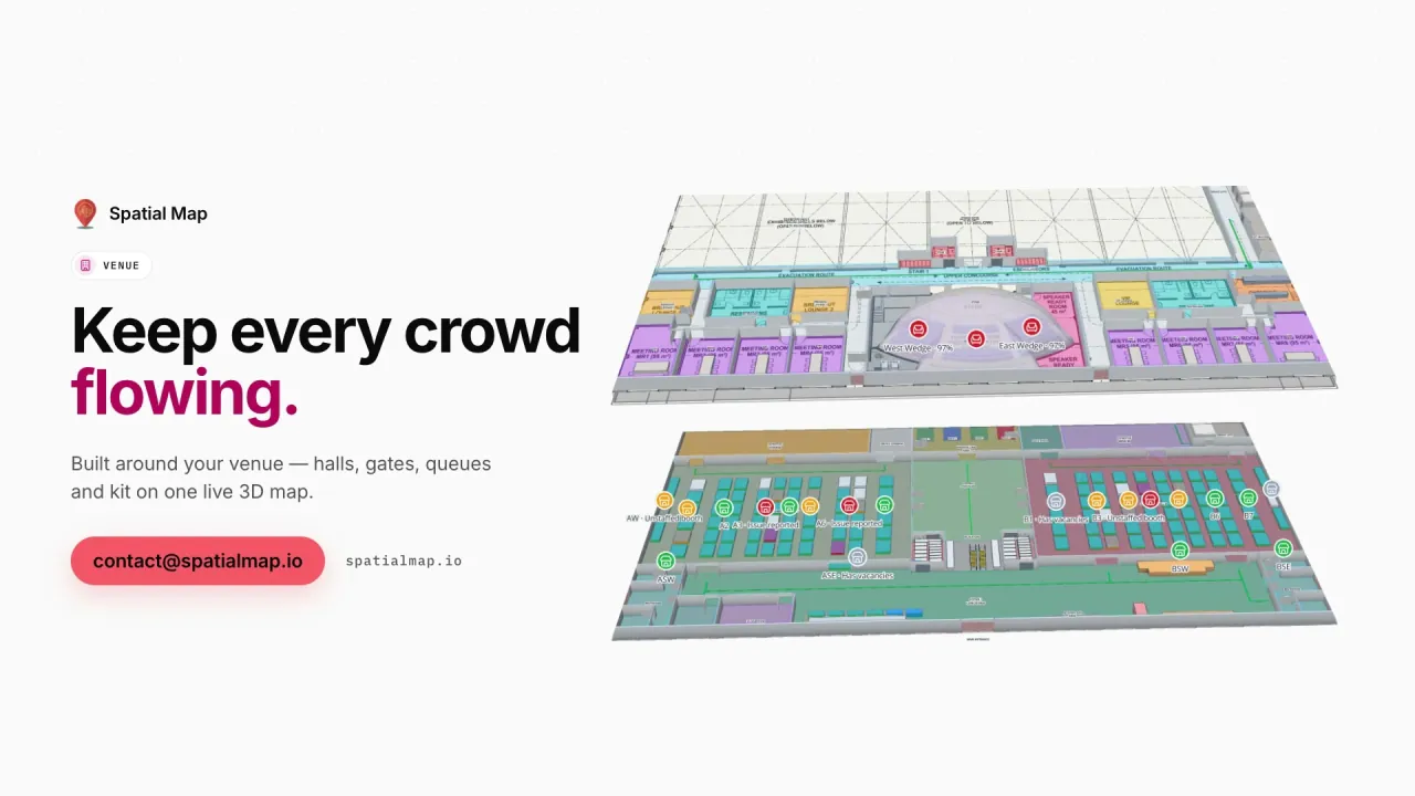
Riyadh Season runs each winter across zones such as Boulevard World and Boulevard City, with an indoor arena that hosts boxing, concerts and shows, and Riyadh is preparing to host Expo 2030. Venues like these keep a permanent shell while the layout inside changes from one season, or one event, to the next.

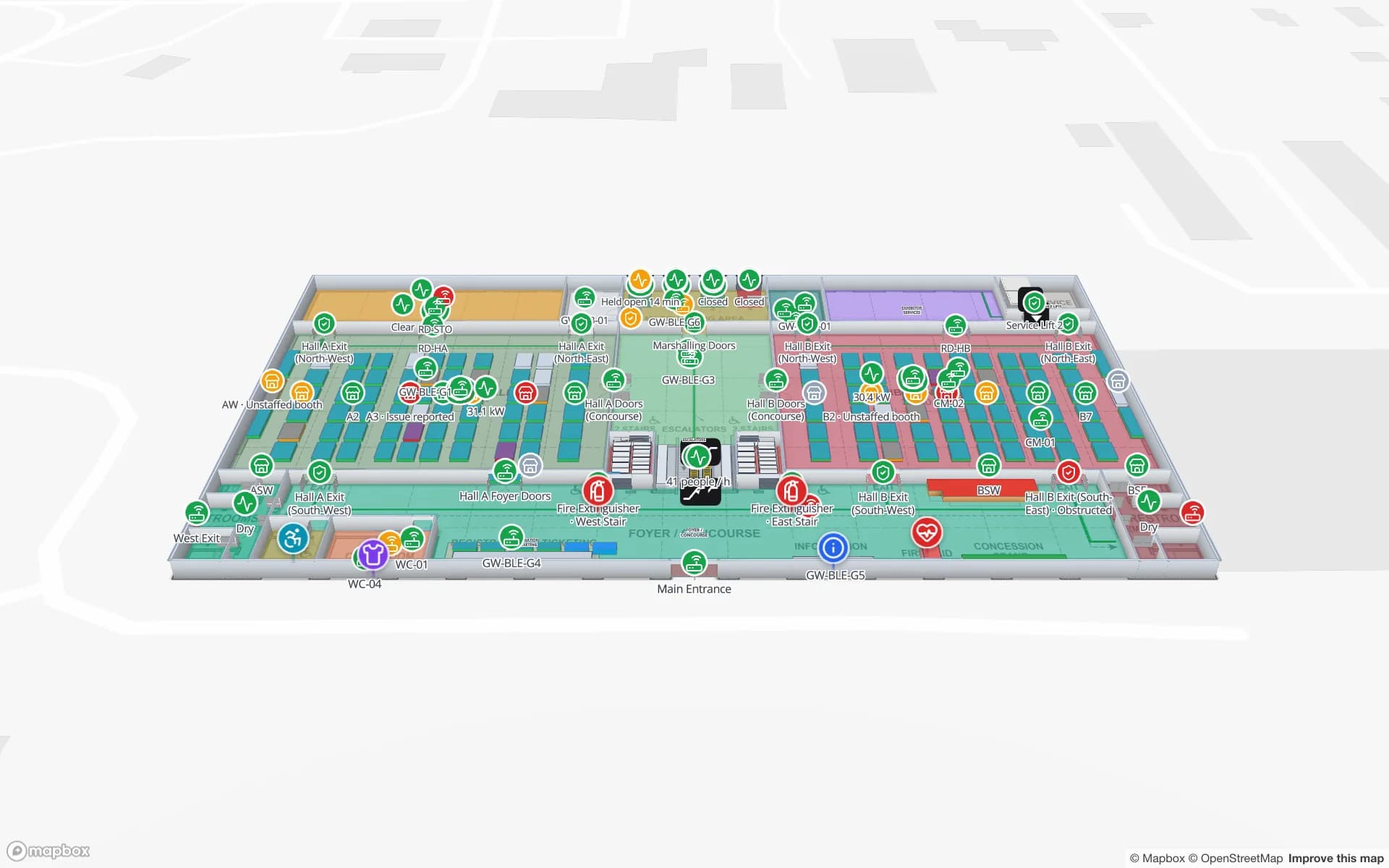
Draw the shell once — walls, gates, stairs, lifts, services — and redraw only what changes. AI Map can redraft just one rectangle of the floor (“Part of the floor”) from an updated plan, and drafts that match shapes already on the map are skipped. Visitor counters can be shown as a heatmap, with heat that stops at walls and closed doors, so the busiest areas of a zone show up without reading a table. See Lakeside Convention Center for halls, session rooms and docks.

Logistics buildings around King Khalid International Airport

Next to King Khalid International Airport, the General Authority of Civil Aviation launched the Special Integrated Logistics Zone (SILZ) in 2022, linked to the airport by a bonded corridor, and the planned King Salman International Airport is to grow out of the existing airport. Distribution centres here serve the capital and much of the centre of the Kingdom, in line with the Vision 2030 logistics programmes.

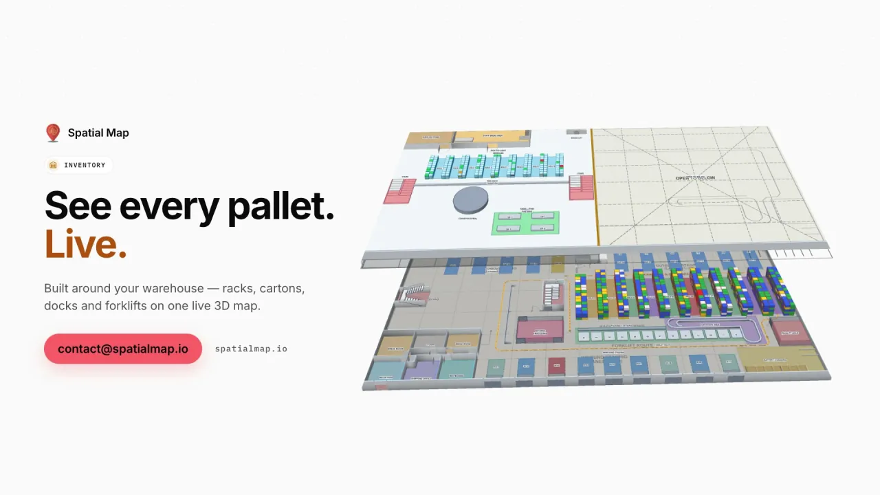
For a new distribution centre, the rack tool draws each rack with its bays and levels, so bin locations can be coloured from a WMS export or a polled REST endpoint, as in the Crestline demo. The map built at handover stays the base when RFID readers and sensors arrive later.

How Spatial Map does it

Mapping a Riyadh building

  1. 01

    One plan per level

    Upload each tower floor, mall level or hall as PDF, DWG (AutoCAD R2004–R2018) or an image, aligned at real scale.

  2. 02

    Draft with AI Map, then check

    AI Map drafts walls, doors, areas, stairs, lifts and escalators; you review them and keep what is right.

  3. 03

    Join the floors

    Stairs, lifts and escalators connect the levels, so routes can cross floors and offer a step-free option.

  4. 04

    Publish routes and live layers

    Share read-only links with Navigate for visitors; bind bookings, counters and stock for the teams.

What Riyadh teams map first

KAFD office towers

Asset register, equipment checkout, meeting rooms and work orders on every floor.

Malls with car-park levels

Step-free routes across floors and footfall heatmaps per level.

Season and event venues

A permanent shell with layouts redrawn per season and visitor counters live.

See it on real demo facilities

Fictional names, real floor plans, live sensors, RFID, BLE tags and gateways — open any of them in the browser.

All 13 demo facilities

Indoor mapping in Riyadh — questions we get

Yes. Routes cross floors through the stairs, lifts and escalators drawn on the map. Visitors choose Fastest, Step-free or Other route and get turn-by-turn steps, walking minutes and the floor changes on the way.

No. There is no blue dot or live positioning of the visitor’s phone. The visitor picks a start point — or opens a share link from a QR code placed at a known spot — and follows the route from there.

No. Keep the permanent shell and redraw only the areas that change, with the drawing tools or with AI Map on a rectangle of the floor. Drafts that match shapes already on the map are skipped, and nothing is added until you review it.

Yes, with Ask AI (beta). It answers questions about the open facility — counts, where things are, history, alerts and reports — from its tables, with links that show the items on the map. It is read-only and each workspace has a monthly question limit.

No. A read-only share link opens in a phone browser and follows the phone’s language, so Arabic phones get the right-to-left interface. You choose the floors and layers it shows and can set an expiry or revoke it.

The same everywhere, in US dollars: a 7-day free trial for up to 5 facilities, no card needed, then Pro at $60 a month or $600 a year for up to 4 facilities. Larger estates are quoted as custom services.

Map one Riyadh tower, mall or venue this week.

Start the free trial in Arabic or English and upload a floor plan, or send us the drawings and we will scope the whole building.