Jeddah · the Red Sea gateway

Indoor mapping in Jeddah for the port, the airport and busy venues

Spatial Map builds a live 3D map of a building from its floor plans and shows on it what your counters, readers and sensors report. Indoor mapping in Jeddah serves a city that handles two very different flows: containers through Jeddah Islamic Port, one of the largest ports on the Red Sea, and millions of visitors arriving through King Abdulaziz International Airport, many of them pilgrims travelling on to Makkah and Madinah for Hajj and Umrah. This page looks at the operations side of both.

No credit card. Runs in the browser. Pro is $60/month for up to 4 facilities. Book a demo

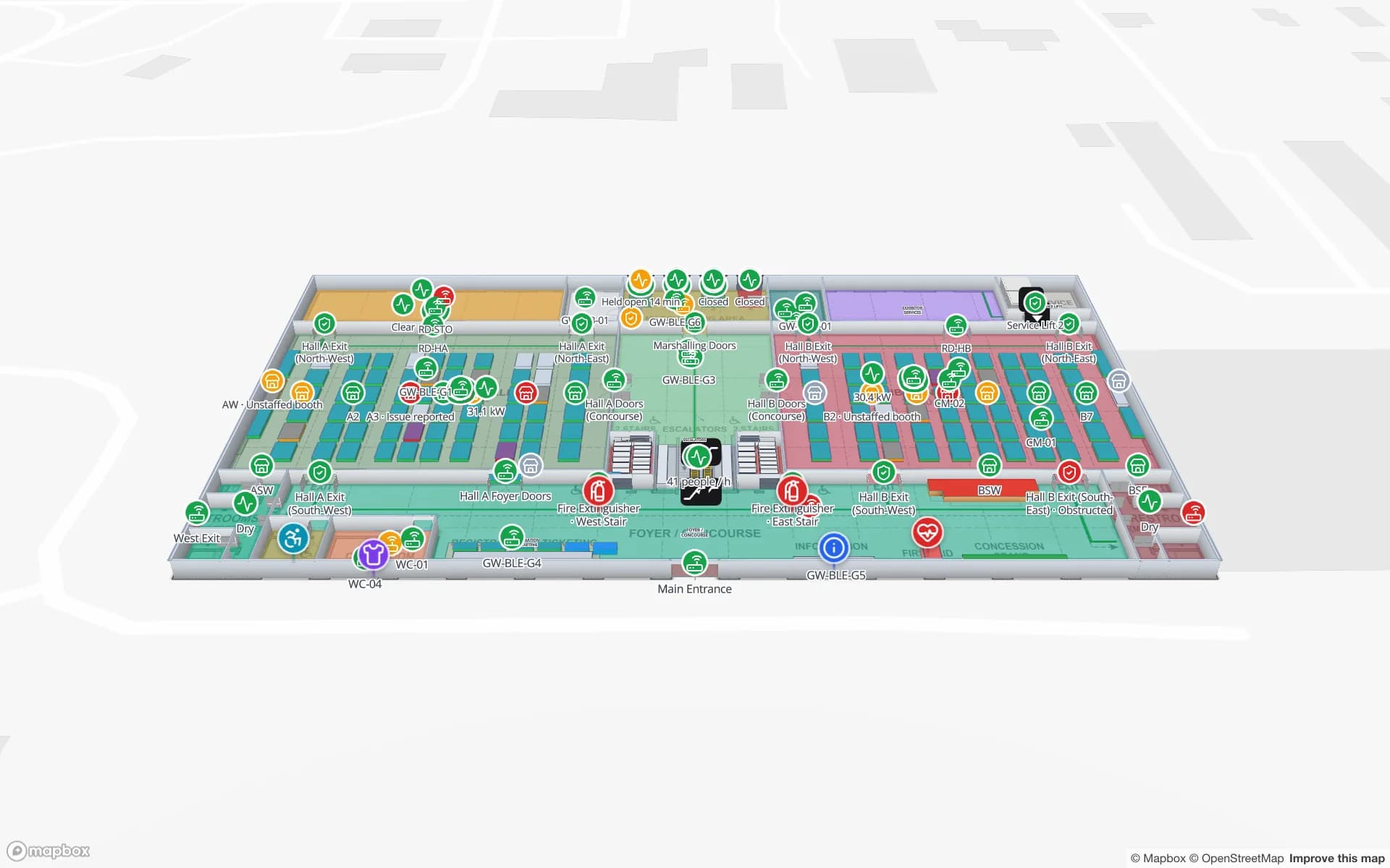
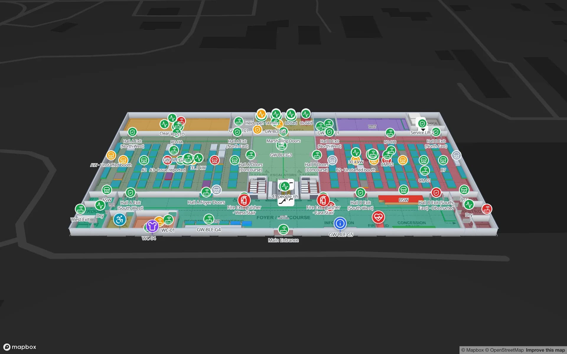
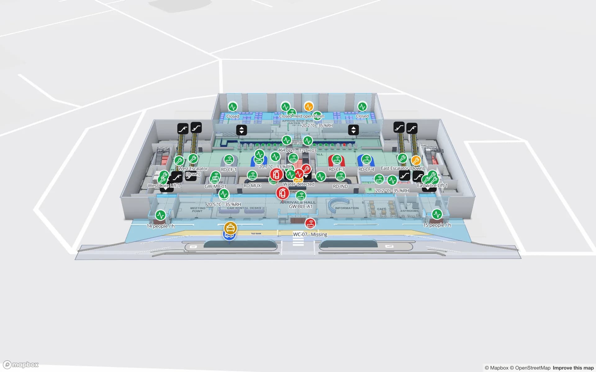
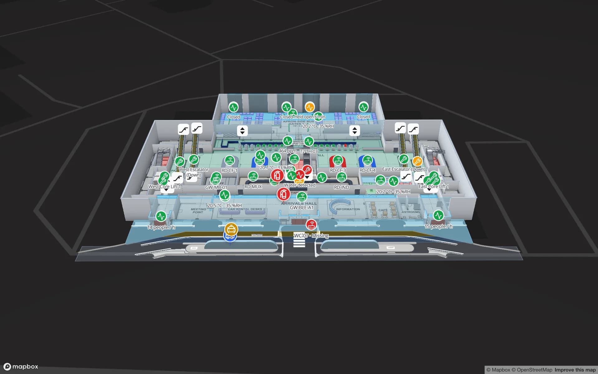
Silverbay International Airport — Terminal 2, a airport terminal demo, in the Spatial Map 3D viewer with live device markers
Silverbay International Airport — Terminal 2
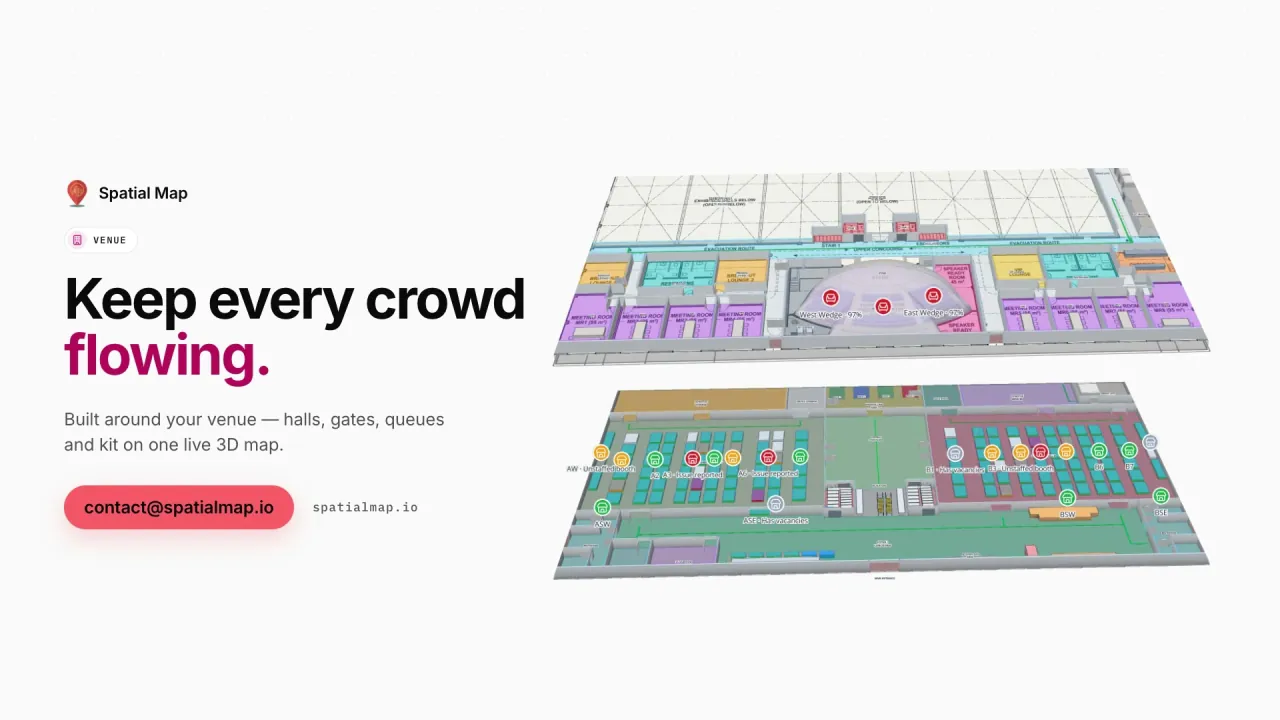
Silverbay Terminal 2, a demo airport: check-in, security, immigration, gates and reclaim on two levels, with zone crowding from occupancy sensors.
Terminal levels in the Silverbay airport demo
2
Built-in reports in that demo
21
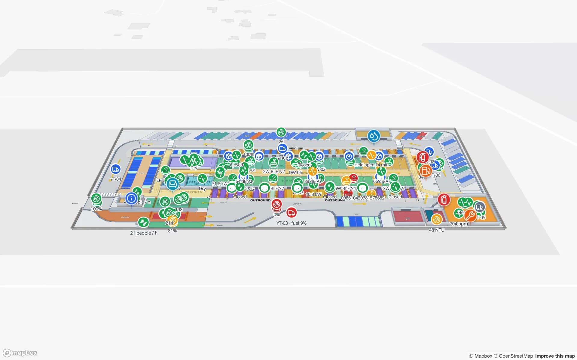
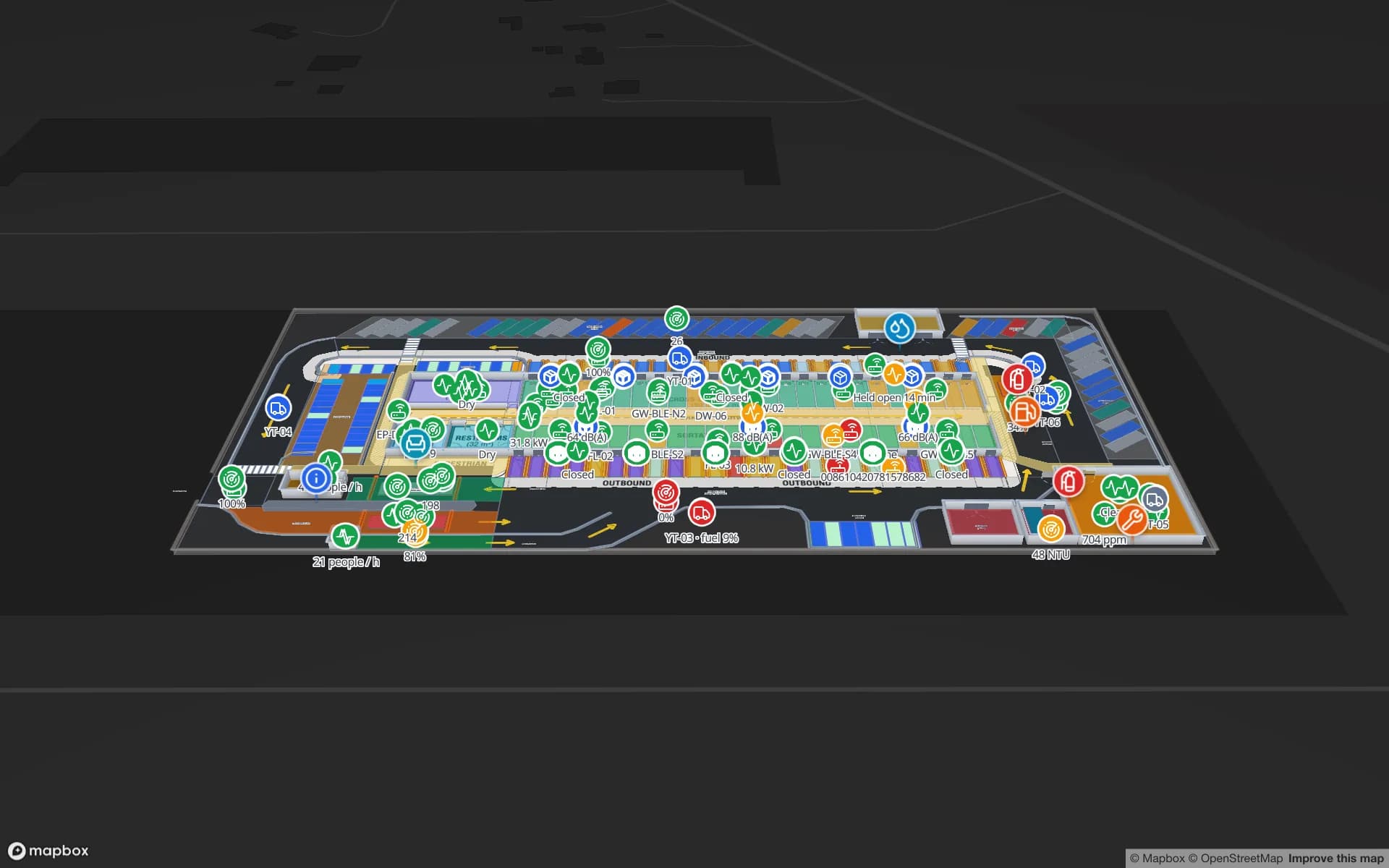
Dock doors in the Eastport cross-dock demo
50
Arabic interface with full right-to-left layout
العربية

Jeddah Islamic Port and the warehouses behind it

Jeddah Islamic Port is the Kingdom’s main gateway on the Red Sea and one of the busiest ports in the region, handling a large share of Saudi container trade. Much of what reaches the western region’s shops, hotels and building sites passes through the bonded stores, distributors’ warehouses and cross-docks south of the city first.

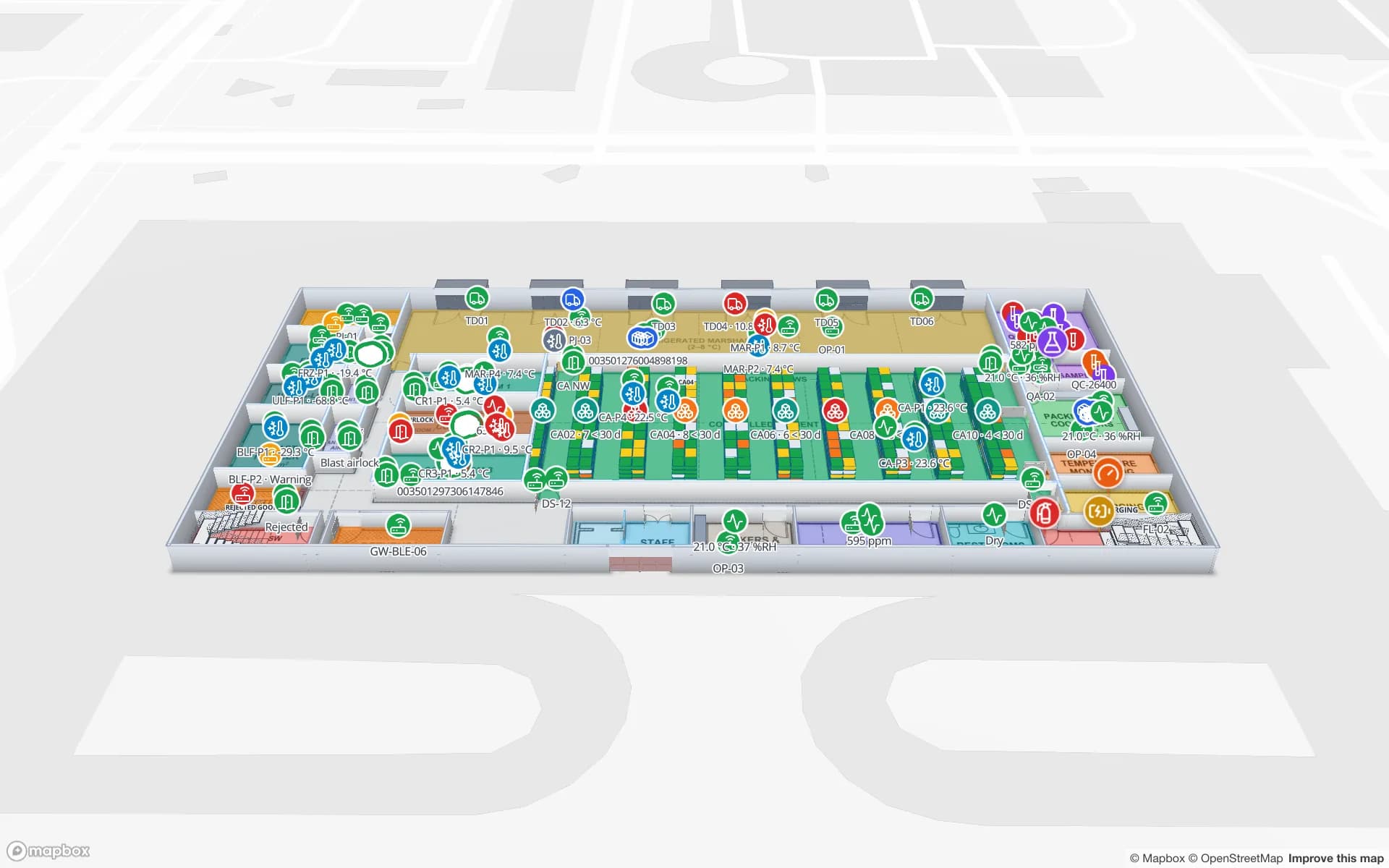
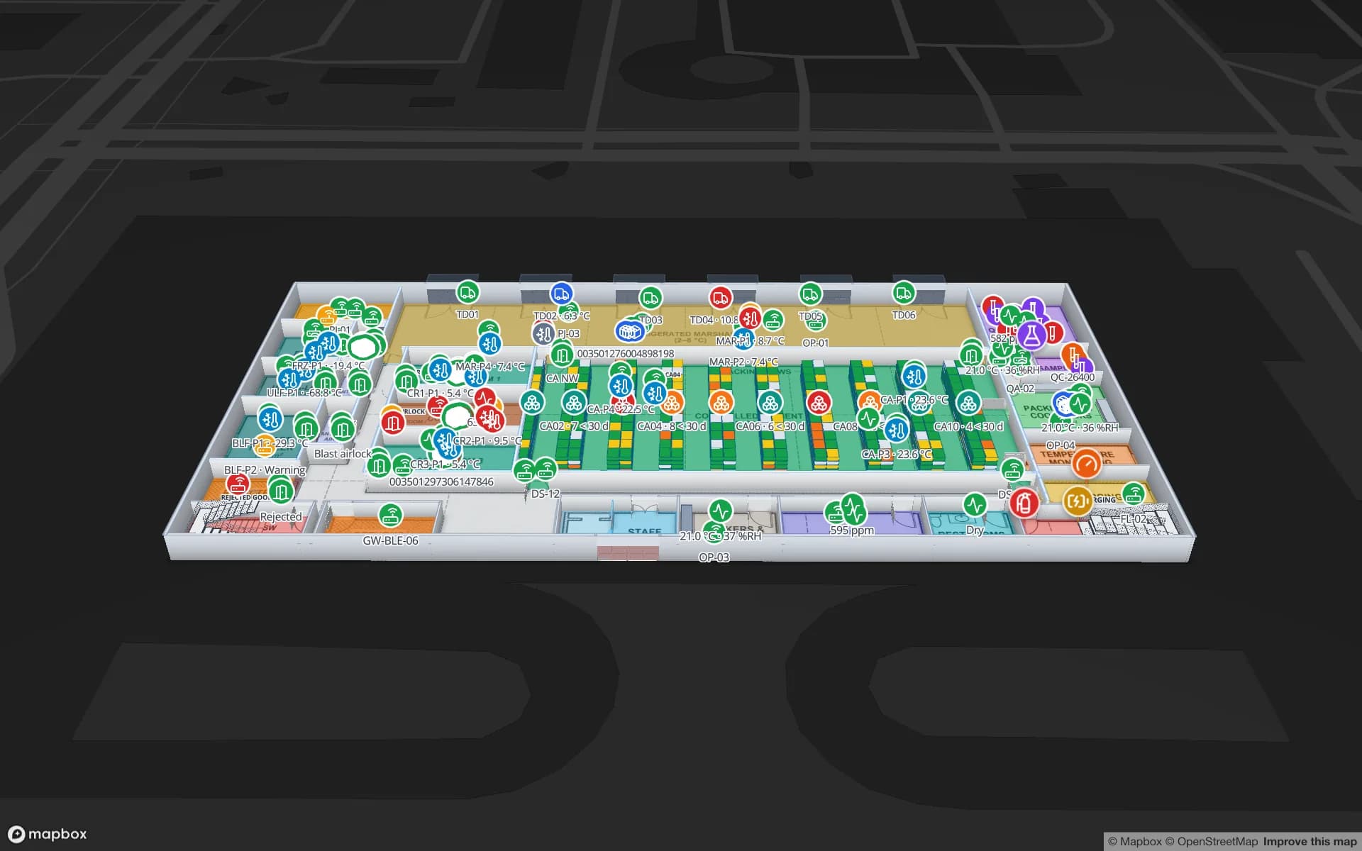
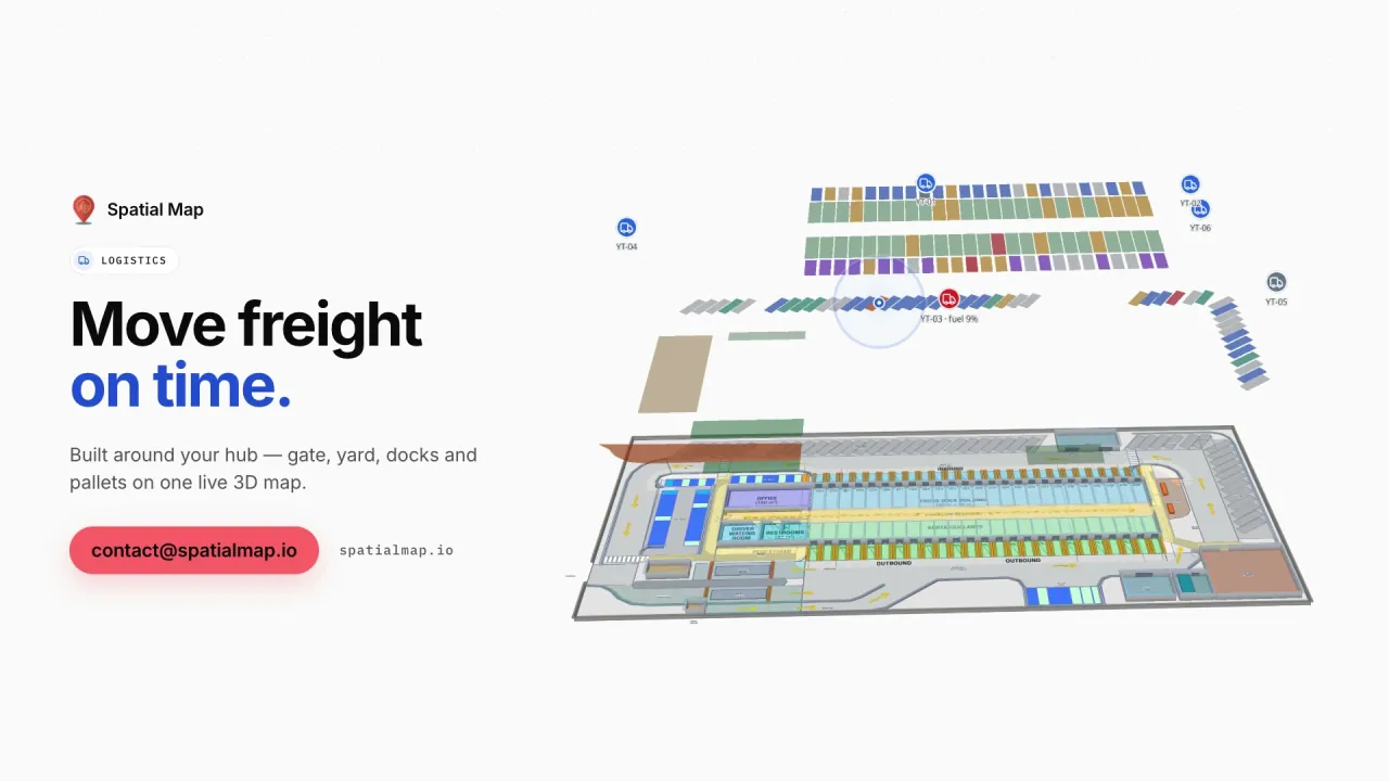
For those buildings the map shows the dock doors with their current turn, trailers in yard slots, gate and weighbridge transactions and RFID-tagged pallets at the lane where they were last read — the Eastport demo has 50 doors and 44 yard slots. An alert rule set to “matches for N minutes” on the yard table raises an in-app alert for trailers that have waited too long for a door.
King Abdulaziz International Airport and its peaks

King Abdulaziz International Airport has, alongside its main terminal, a dedicated Hajj Terminal used mainly during the pilgrimage season, and it receives a large share of the Kingdom’s Hajj and Umrah travellers. Demand is uneven: a few weeks of the year bring far more passengers than the rest, many of them older or travelling in large groups.

A terminal map helps the teams who plan those weeks: check-in, security, immigration and reclaim drawn once, with zone crowding, queue throughput and assistance equipment on top. Heatmaps from occupancy sensors show where crowding builds, with heat that stops at walls. Spatial Map shows the data you feed it; it does not replace airport operational, border or crowd-management systems. The Silverbay demo shows the pattern on two levels.

Hotels, stations and step-free routes

Many visitors move between the airport, hotels and the Haramain High Speed Railway, which links Jeddah with Makkah and Madinah. Hotels and stations are multi-floor buildings where a guest with heavy luggage or a wheelchair needs the lift, not the stairs.

Spatial Map routes across floors through stairs, lifts and escalators and offers a Step-free option alongside Fastest and Other route, with turn-by-turn steps and walking minutes. Routes work on read-only share links, so a QR code in a lobby opens them in the guest’s own language, Arabic or English among six. There is no live blue dot; the guest starts from a chosen point.

The Corniche circuit and the events calendar

Jeddah also runs a busy events calendar: the Jeddah Corniche Circuit hosts the Formula 1 Saudi Arabian Grand Prix, and stadiums and exhibition halls in the city host football, concerts and trade events. Each event brings temporary layouts, crews and equipment into a permanent building.

Keep halls, gates and services as permanent shapes and change booth blocks or hospitality areas per event, as in Lakeside Convention Center. An alert rule on the occupancy table using “number of matching items” against a threshold raises an in-app alert when too many zones are over capacity at once. Alerts are shown in the app — bell, toast and Alerts page — and are not sent by email, SMS or push.

Catering kitchens and cold stores

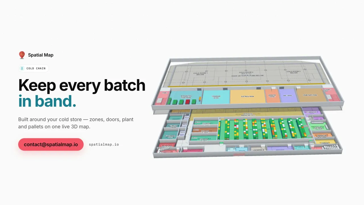
Feeding hotels, airline catering and event crowds depends on cold rooms and freezers that stay in range through the hottest months. Spatial Map tints each room by the live reading from your probes, shows door states and held stock, and keeps every change in the row history. A “not updated for N minutes” rule catches a probe that has gone silent before anyone notices the gap. The Polar Pharma demo shows the cold-store pattern; your food-safety procedures stay the formal record.

How Spatial Map does it

Preparing a Jeddah building for peak weeks

  1. 01

    Map the busiest level first

    Start with the arrivals hall, the hotel lobby level or the dock side; add the other floors after.

  2. 02

    Add crowd and device feeds

    Occupancy counters, queue counts, RFID reads and probe readings arrive by write API, REST polling or files.

  3. 03

    Set rules for the season

    Thresholds for crowded zones, waiting trailers and silent probes, raised as in-app alerts.

  4. 04

    Hand out step-free routes

    Read-only share links with Navigate, in Arabic or English, behind QR codes at entrances and lifts.

What Jeddah teams map

Terminal peak planning

Zone crowding, queues and assistance equipment across two levels, with heatmaps.

Port-side warehouses and yards

Dock doors, yard slots and RFID pallets, with alerts for trailers that wait too long.

Catering and hotel cold stores

Cold rooms tinted by temperature, door states and alerts for silent probes.

See it on real demo facilities

Fictional names, real floor plans, live sensors, RFID, BLE tags and gateways — open any of them in the browser.

All 13 demo facilities

Indoor mapping in Jeddah — questions we get

No. It shows the counts, queues and occupancy your systems report on a map of the building and can raise in-app alerts when thresholds are passed. Crowd safety stays with your control room, the responsible authorities and the systems they use.

Yes. Occupancy or queue counts posted to a table colour each zone, a heatmap shows where crowding builds, and the row history lets you replay a peak day afterwards to plan the next season.

Yes. Choose Step-free and the route uses the lifts drawn on the map instead of stairs and escalators, across floors, with turn-by-turn steps and walking minutes.

No. Spatial Map does not position visitors’ phones and shows no blue dot. Crowding comes from the aggregate counts your counters or sensors send. If you add staff or equipment positions from an RTLS, follow your own policy and Saudi Arabia’s Personal Data Protection Law.

Yes. Each building is a facility in the same workspace; group them into named solutions and give each person the role they need — Owner, Admin, Editor or Viewer.

In US dollars and the same everywhere: a 7-day free trial for up to 5 facilities, then Pro at $60 a month or $600 a year for up to 4 facilities. Larger estates are quoted as custom services.

Map your Jeddah terminal, hotel or warehouse before the next peak.

Start the free trial in Arabic or English, or send us the floor plans and a sample of your counter or read data through the contact form.