Africa · Ghana

Indoor mapping & RFID tracking in Ghana

Spatial Map is browser-based software for indoor mapping & RFID tracking in Ghana: it turns the floor plan of a warehouse, depot or cold store into a live 3D map fed by your readers, gateways and sensors. Ghana’s trade passes through two ports — Tema, east of Accra, and Takoradi in the west — and much of it carries on to Burkina Faso, Mali and Niger, so the buildings that matter most sit along a few short corridors, and one map can hold all of them.

No credit card. Runs in the browser. Pro is $60/month for up to 4 facilities. Book a demo

Logistics film: “Move freight on time” beside Eastport Cross-Dock and its trailer yard in 3D
The Logistics film: pallets moving door to door through the Eastport Cross-Dock, then the yard and gate with a congested truck lane.
Dock doors in the Eastport cross-dock demo
50
Rack locations in the Polar Pharma cold-store demo
1,140
Apps to install — share links open in a phone browser
0
Free trial, up to 5 facilities, no credit card
7 days

Two ports, one national supply chain

Tema’s construction began in 1954 and regular traffic started after its commissioning in 1962; Takoradi, Ghana’s older port, has been operating since 1928 and, according to the Ghana Ports and Harbours Authority, ships manganese, bauxite and cocoa, among other cargo. Between them they feed the warehouses, depots and distribution centres of the whole country. The city page for Accra goes through the Tema side in detail.

In your own shed, the question is which pallet is in which lane and which container went where. Spatial Map draws dock doors, yard slots and gates and colours them from your yard or WMS data; RFID pallets show where the last reader saw them, as in the Eastport Cross-Dock demo. It does not connect to port, customs or terminal systems.


The transit trade to the Sahel

The port authority describes Tema as the gateway to the landlocked Sahel countries of Burkina Faso, Mali and Niger, has provided a dedicated transit container terminal there, and describes Takoradi as an alternative port for the same three countries. It also lists a US$330 million inland port at Boankra among its planned projects. Cargo in transit is stored, restuffed and trucked north, often by operators whose customers sit in another country and speak French.

For such a warehouse, draw one lane or area per consignee, tag the pallets and give each customer a read-only share link locked to its own area. The interface is available in French as well as English, so a francophone transport manager can read the same map. Customs transit documents remain in their own systems.

Free zones and the export plants

The Ghana Free Zones Authority was established on 31 August 1995 by an Act of Parliament, the Free Zones Act (Act 504), and its programme took off in September 1996. It lists 13 priority sectors — among them agro-food processing, floriculture, pharmaceuticals, textiles and apparel, ceramic tiles, metal fabrication and ICT — and has regional offices in Tema, Takoradi and Kumasi.

A free-zone plant makes lots, and lots must be found: raw materials by bin, work in progress between stations, finished goods by pallet. Spatial Map colours racks from your ERP or MES, as in the Summit Assembly demo with 867 rack locations, and RFID reads at the dispatch door confirm what left. The Tema zone is covered on the Accra page.

Cocoa, produce and the cold chain

Takoradi’s export list includes cocoa, and Tema’s reefer terminal lists 1,581 reefer plugging points, which gives a sense of how much perishable cargo moves through Ghana’s ports. Between the farm, the packhouse and the reefer container, product waits in stores where a warm room costs shelf life.

On the map each cold room takes the colour of its latest sensor reading, pallets on hold show where they stand, and an alert rule flags a room that stays out of range or a sensor that has gone quiet, in the app. The Polar Pharma demo shows the pattern with 1,140 rack locations.

Retail, FMCG and phones first

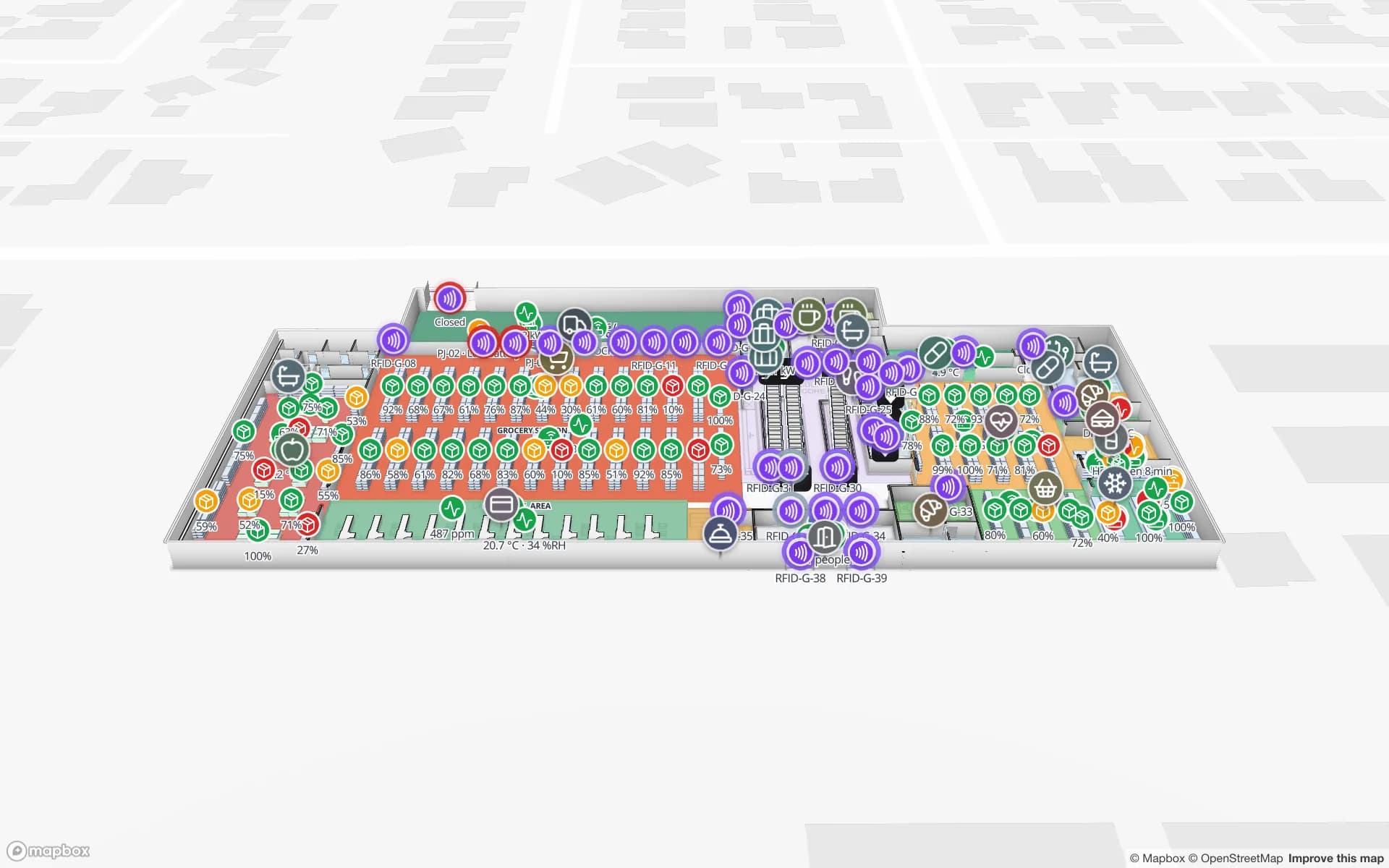
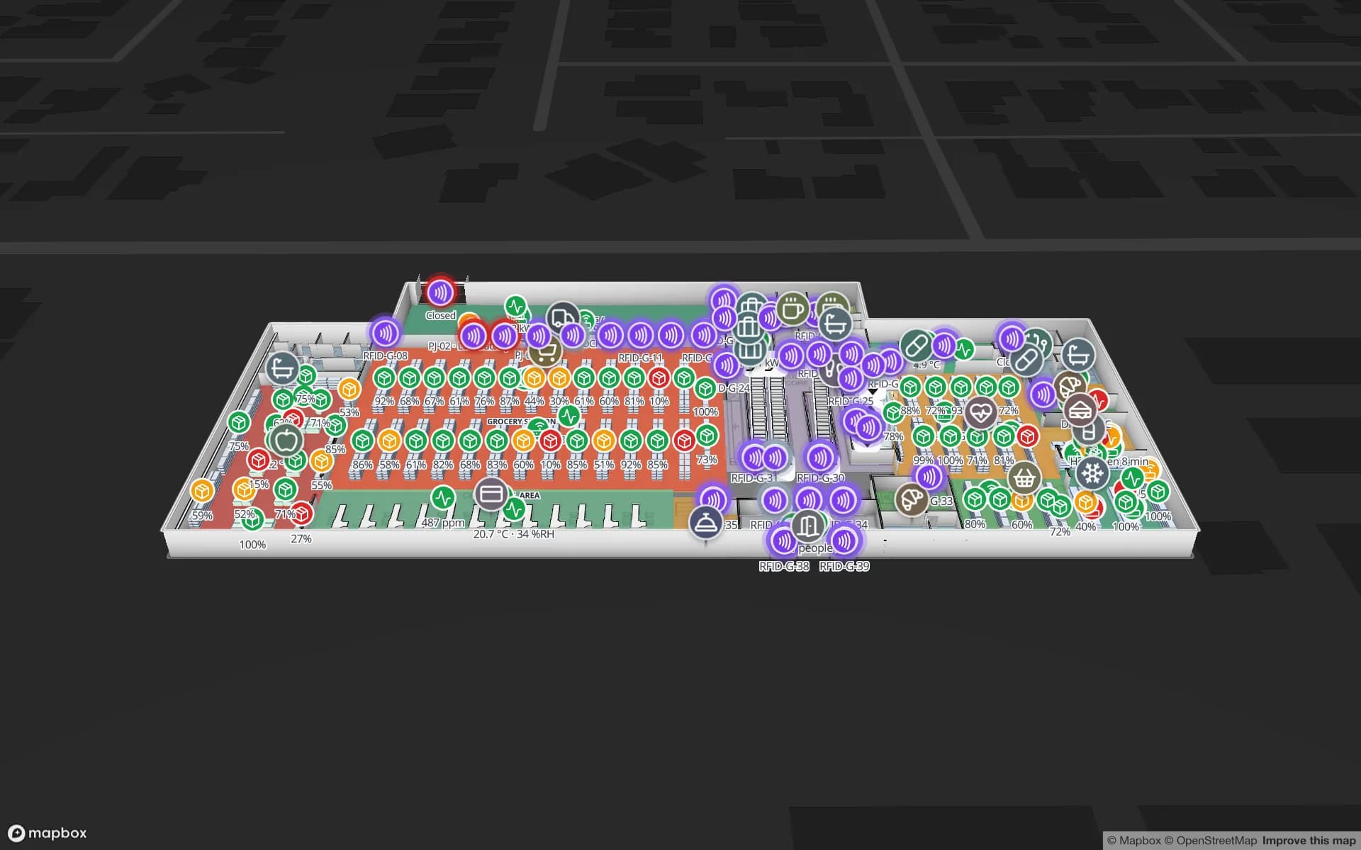
Accra, Kumasi and Takoradi have supermarkets, malls and FMCG distributors that restock from regional warehouses. Spatial Map maps the distribution centre rack by rack and the store floor by floor, with shelf stock, RFID at the doors and footfall heatmaps, as in the Retail Mart demo with 85 RFID readers.

Most supervisors and drivers carry a smartphone. Spatial Map has no app to install: a read-only share link opens the map in the phone’s browser, with only the floors and layers you choose, an expiry date and a view cap.

Power cuts, weak links and the Data Protection Act

Power cuts and weak connections happen at many sites. Spatial Map runs in the cloud, so viewing needs a connection; reads are usually buffered by your middleware or a small local relay and posted in batches with the table write API when the link is back. A “not updated for N minutes” rule tells you which gateway went quiet.

Ghana’s Data Protection Act, 2012 (Act 843) is enforced by the Data Protection Commission, which says data controllers and processors must register. It matters when location data can be linked to a person, such as a staff badge; tags on pallets and stock do not identify anyone. Your legal advisers decide what applies. A data processing agreement is available.

Also served

The same approach covers Kumasi, Takoradi and Sekondi, Tamale, Cape Coast, Sunyani, Ho and Koforidua. They have no pages of their own, and the interface is English (with French available); content you write, such as room names, can be in Twi, Ga, Ewe or any language. Spatial Map is sold online, and our team works with customers in Ghana remotely, by video call and through the contact form.

How Spatial Map does it

From floor plan to live map

  1. 01

    Import the plan

    A PDF, a DWG from AutoCAD R2004–R2018 or a scan of the warehouse, depot or cold store.

  2. 02

    Draw the building

    Racks with their locations, cold rooms, dock doors and yard slots, or let AI Map draft them for review.

  3. 03

    Connect the data

    WMS, RFID middleware or sensor gateways post rows to a table, or Spatial Map polls a REST endpoint.

  4. 04

    Share by phone

    Read-only links for drivers, consignees and contractors, and in-app alerts for the team.

What teams in Ghana map first

Port-side and transit warehouses

Dock doors, yard slots and pallets staged by consignee.

Export cold stores

Cold rooms by live temperature, held pallets marked.

Free-zone plants

Lines, WIP and racks from your ERP or MES.

FMCG and retail distribution

Rack-level stock, RFID at the doors and footfall by floor.

See it on real demo facilities

Fictional names, real floor plans, live sensors, RFID, BLE tags and gateways — open any of them in the browser.

All 13 demo facilities

Questions from teams in Ghana

Yes. A read-only share link opens in any phone browser, with only the floors and layers you choose, an expiry date and a view cap. There is no app to install, and Spatial Map has no released mobile app.

No. It shows your own buildings — dock doors, yard slots, racks and cold rooms — coloured by the data your WMS, readers and sensors send. Port and customs records stay in their own systems.

Viewing the map needs a connection. Reads are usually buffered by your middleware or a small local relay and posted in batches when the link is back; row history keeps the gap visible, and a “not updated for N minutes” rule shows which gateway went quiet.

It is context when location data can be linked to a person, for example through a staff badge. Your legal advisers decide what applies, including registration with the Data Protection Commission. Spatial Map only shows the data you send it, and a data processing agreement is available.

No. The app is available in English, French, Arabic, Spanish, German and Chinese. Your own room names, rack codes and report titles can be written in any language and appear exactly as typed.

No. Spatial Map is sold online and our team works with Ghanaian customers remotely, by video call and through the contact form. There are no local resellers or partners.

The same worldwide, in US dollars: a 7-day free trial for up to 5 facilities with no credit card, then Pro at $60 a month or $600 a year for up to 4 facilities. Larger networks are quoted as custom services.

Map your first Ghanaian site this week.

Start the free trial, or send us a floor plan and a sample of your WMS, RFID or sensor data through the contact form.