Africa · Kenya

Indoor mapping and RFID tracking in Kenya

Spatial Map is browser-based software for indoor mapping and RFID tracking in Kenya: it turns the floor plan of a warehouse, cold store or mall into a live 3D map fed by your readers, gateways and sensors. Kenya’s logistics run along one line — from the port of Mombasa, up the railway and highway to Nairobi, and on to the landlocked countries beyond — while its farms send flowers, vegetables, avocados and tea to markets abroad. Spatial Map puts the buildings on that line on one map.

No credit card. Runs in the browser. Pro is $60/month for up to 4 facilities. Book a demo

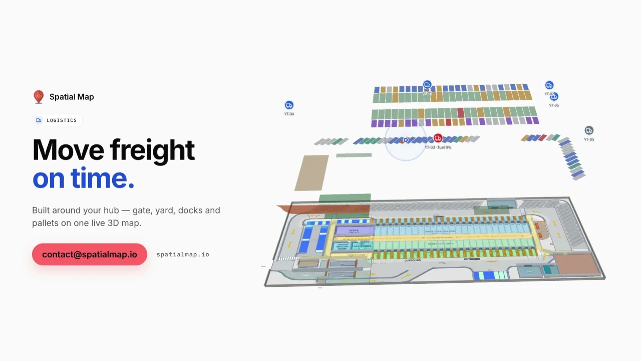
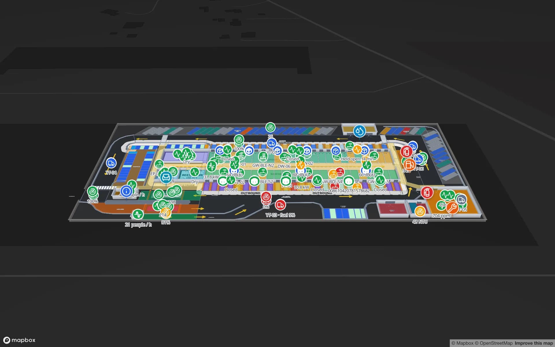
Logistics film: “Move freight on time” beside Eastport Cross-Dock and its trailer yard in 3D
The Logistics film: pallets moving door to door through the Eastport Cross-Dock, then the yard and gate with a congested truck lane.
RFID pallets in the Eastport cross-dock demo
1,180
Rack locations in the Polar Pharma cold-store demo
1,140
Apps to install — share links open in a phone browser
0
Free trial, up to 5 facilities, no credit card
7 days

Mombasa and the Northern Corridor

The port of Mombasa is one of the largest in East Africa and the start of the Northern Corridor, the trade route that carries goods to Nairobi and on to Uganda, Rwanda, Burundi, South Sudan and the eastern Democratic Republic of the Congo. Since the Standard Gauge Railway opened, a large share of that cargo travels by rail to inland container depots in Nairobi and Naivasha, and the rest by truck.

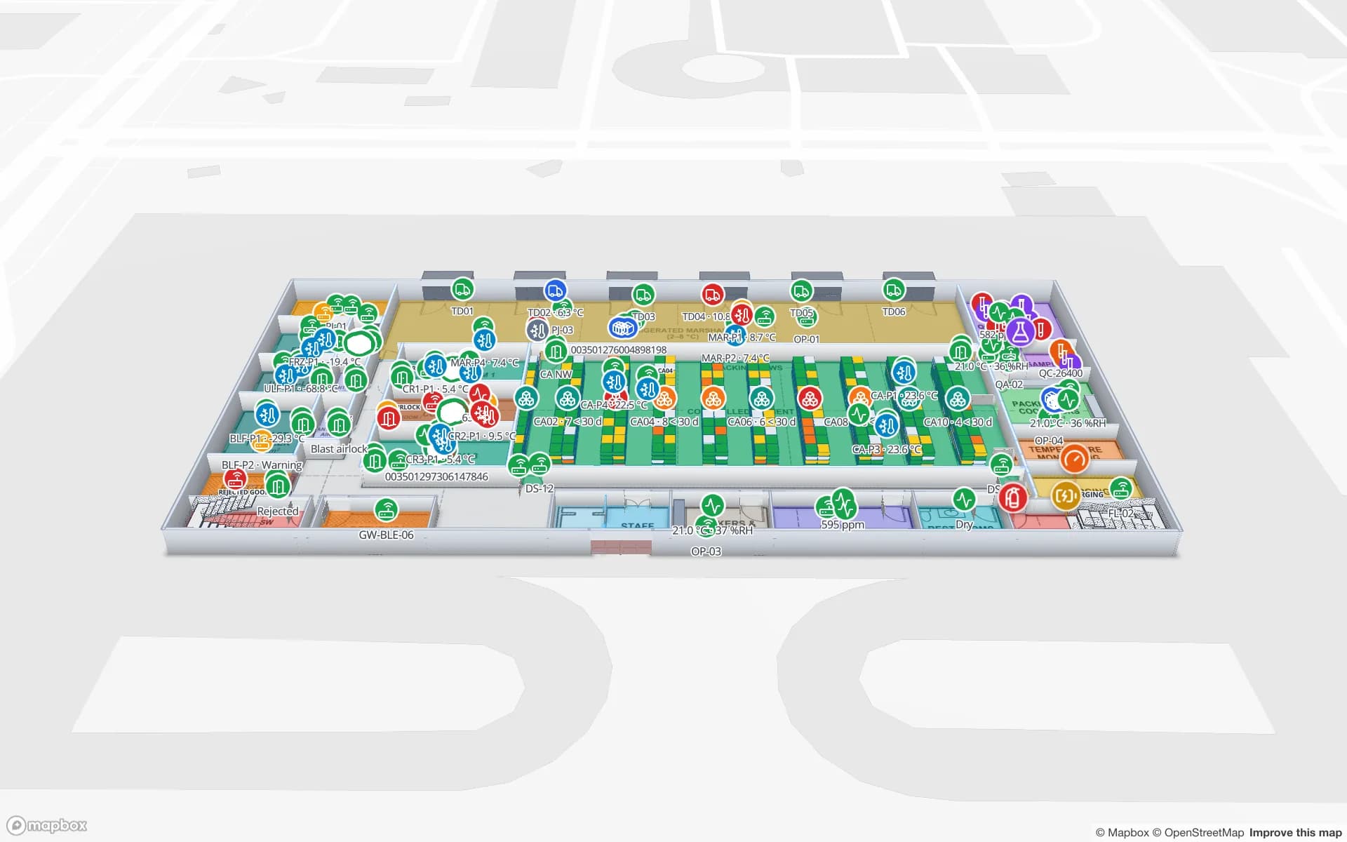
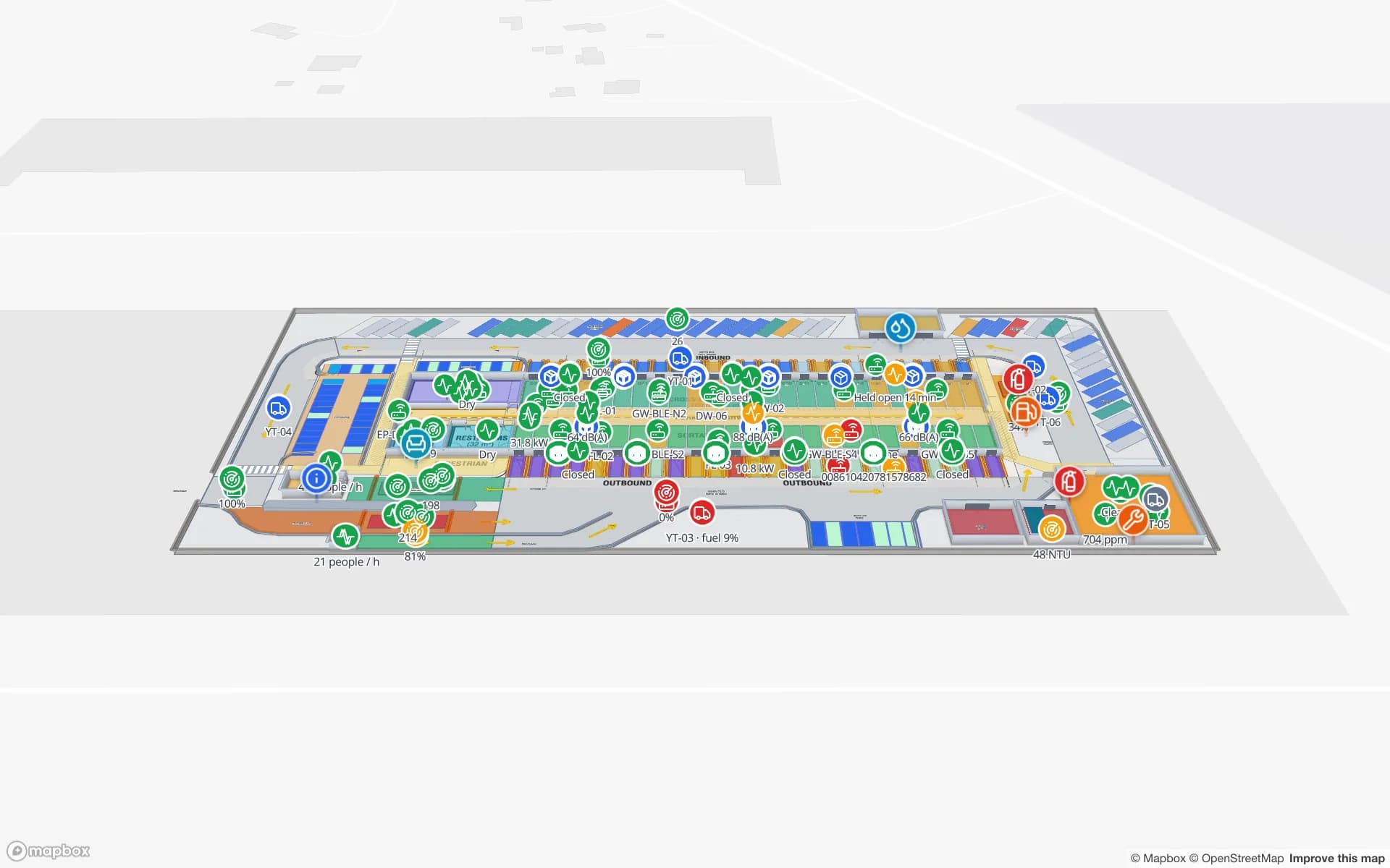
Container freight stations and warehouses in Mombasa unpack, store and stage that cargo. Spatial Map draws their dock doors, yard slots, gates and weighbridges and colours them from your yard or WMS data, and RFID pallets show where the last reader saw them, as in the Eastport Cross-Dock demo. Customs and port systems stay where they are.
Nairobi, the regional hub

Many companies run their East African business from Nairobi, with regional distribution centres that supply Kenya and neighbouring countries, and Jomo Kenyatta International Airport (JKIA) is one of the region’s busiest for passengers and cargo. The city has its own page: indoor mapping and tracking in Nairobi covers JKIA’s fresh-produce cargo, the Inland Container Depot and the warehouse corridor along Mombasa Road.

Flowers, vegetables, avocados and tea

Kenya is one of the world’s largest exporters of cut flowers, grown largely around Lake Naivasha and in the highlands and flown to Europe, and it exports fresh vegetables, avocados and — through Mombasa’s auction — large volumes of black tea. Flowers and vegetables move fast, from the farm’s pack house and cold room to the airport; avocados go by reefer container through Mombasa.

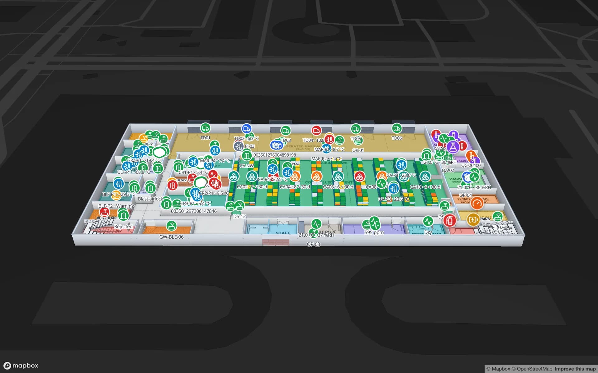
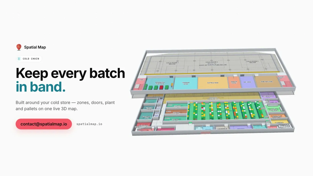
On a Spatial Map floor plan, each pre-cooling room and cold store takes the colour of its latest reading, pallets waiting for collection show at their bay, and in-app alerts flag a room that stays warm or a sensor that stops reporting. The Polar Pharma demo shows the same pattern in a pharmaceutical cold store with 1,140 rack locations.

Supermarkets, malls and FMCG distribution

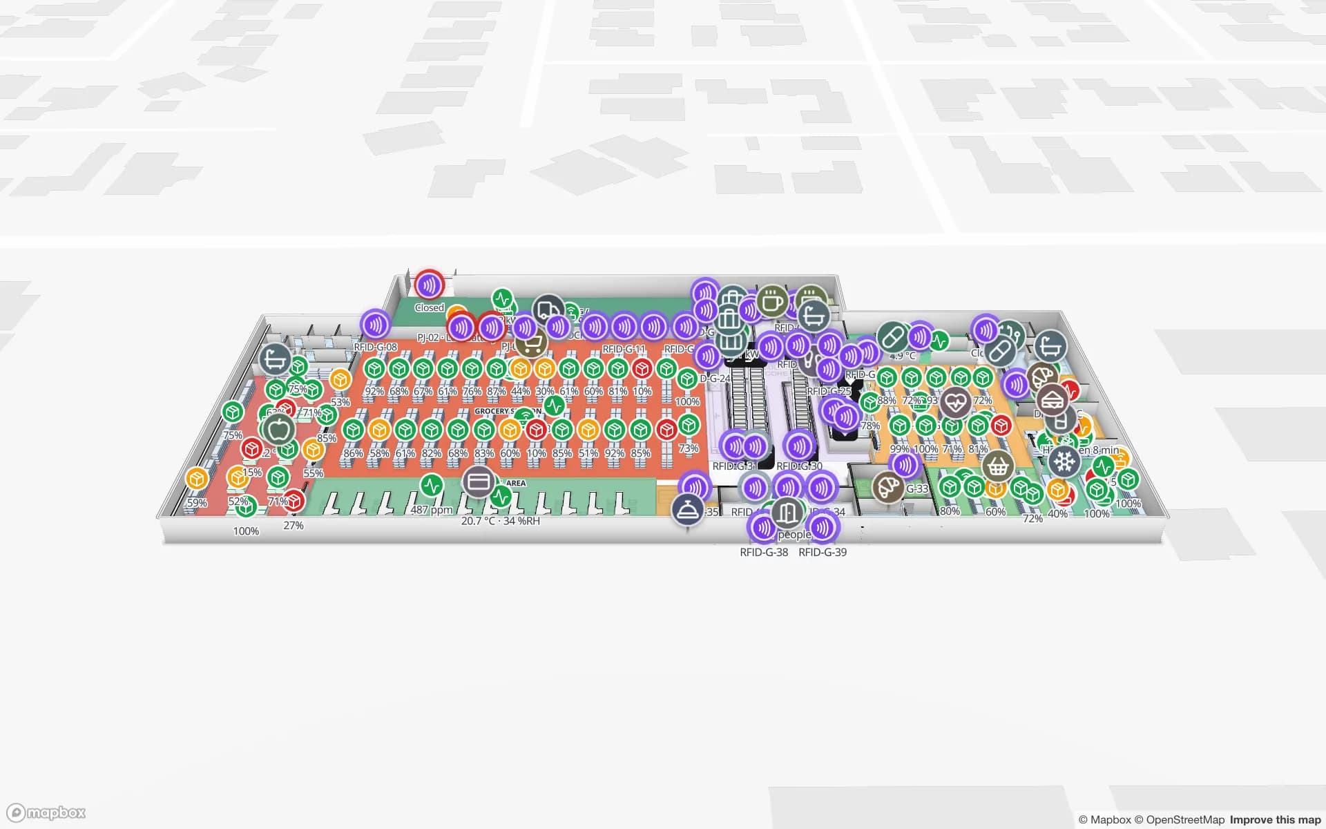
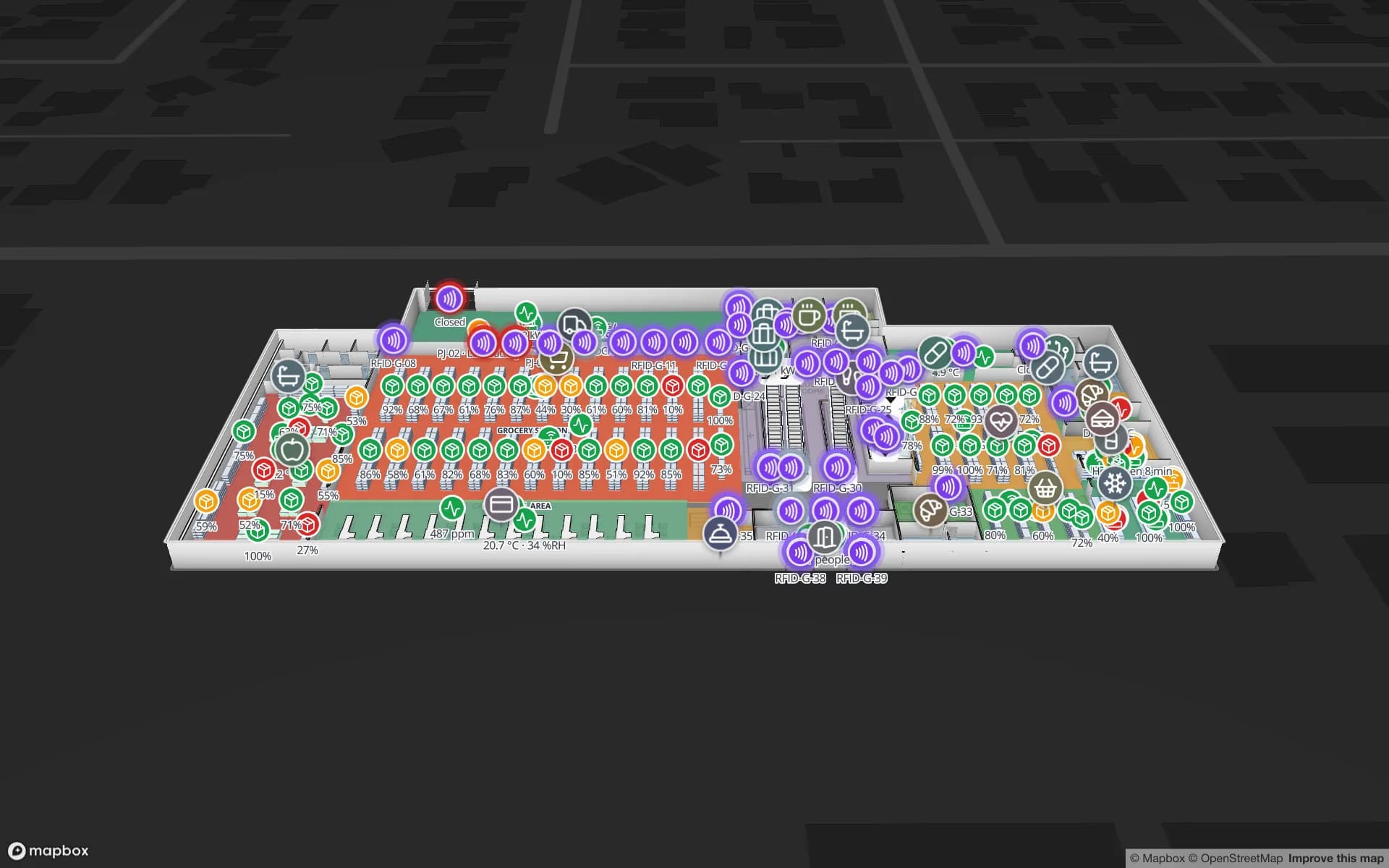
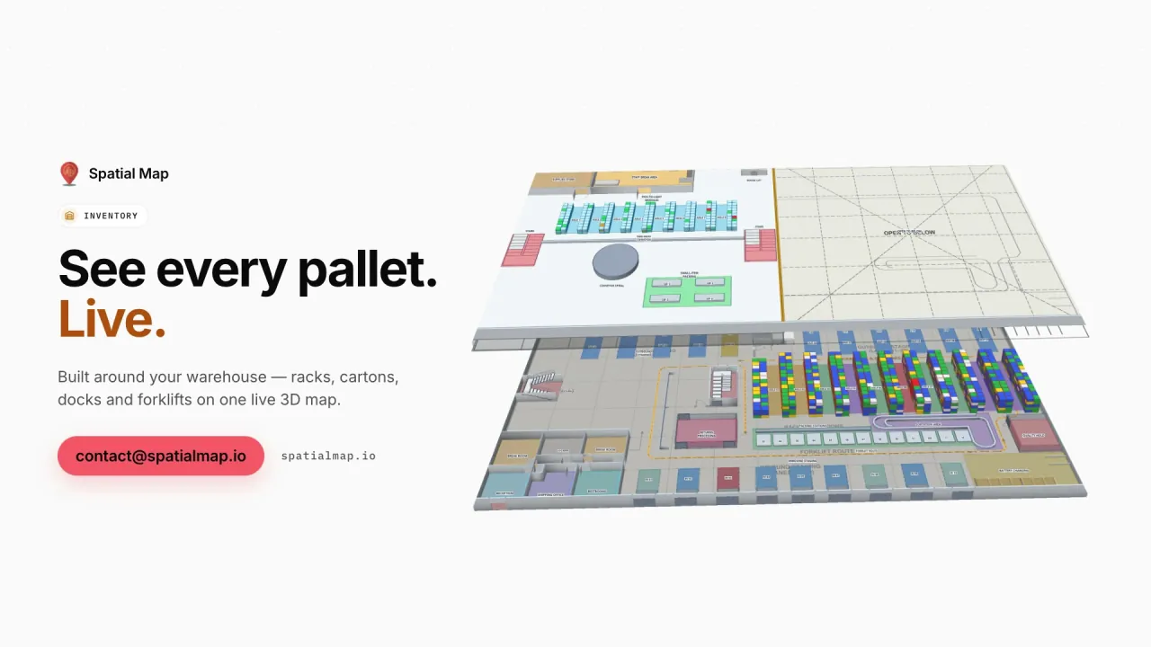
Kenya’s supermarket chains, malls and FMCG distributors serve a fast-growing urban market in Nairobi, Mombasa, Kisumu, Nakuru and Eldoret. A distributor’s warehouse is mapped rack by rack, with stock by bin from the WMS; a multi-floor store or mall carries shelf stock, RFID reads at the doors, fridge temperatures and footfall heatmaps, as in the Retail Mart demo with 85 RFID readers on three floors.

Phones first: links instead of apps

Most Kenyan supervisors, drivers and contractors carry a smartphone, and many work from it rather than a desktop. Spatial Map has no app to install: a read-only share link opens the map in the phone’s browser, with only the floors and layers you choose, an expiry date and a view cap. Wayfinding gives turn-by-turn routes across floors on the same link, so a new driver can find the right dock or a visitor the right lift.

The Data Protection Act 2019

Kenya’s Data Protection Act 2019 is overseen by the Office of the Data Protection Commissioner (ODPC), which also registers data controllers and processors. It becomes relevant when location data can be linked to a person, such as a driver’s or picker’s badge; tags on pallets, crates and stock do not identify anyone. Your legal advisers decide what applies. A data processing agreement is available and the security page explains how data is protected.

How Spatial Map does it

From floor plan to live map

  1. 01

    Import the plan

    A PDF, a DWG from AutoCAD R2004–R2018 or a scan of the warehouse, cold store or mall.

  2. 02

    Draw the building

    Racks with their locations, cold rooms, dock doors, stairs, lifts and escalators.

  3. 03

    Connect the data

    WMS, RFID middleware or sensor gateways post rows to a table, or Spatial Map polls a REST endpoint.

  4. 04

    Share by phone

    Read-only links for drivers, distributors and contractors, and in-app alerts for the team.

What teams in Kenya map first

Container freight stations

Dock doors, yard slots and pallets staged for rail or road.

Flower and produce cold stores

Pre-cooling and cold rooms by live temperature, with alerts.

Regional distribution centres

Rack-level stock by bin, staging lanes and the trailer yard.

Supermarkets and malls

Shelf stock, RFID at the doors and footfall heatmaps by floor.

See it on real demo facilities

Fictional names, real floor plans, live sensors, RFID, BLE tags and gateways — open any of them in the browser.

All 13 demo facilities

Questions from teams in Kenya

Yes. A read-only share link opens in any phone browser, with only the floors and layers you choose, an expiry date and a view cap. There is no app to install, and Spatial Map has no released mobile app.

No. It shows your own buildings — dock doors, yard slots, racks and cold rooms — coloured by the data your WMS, readers and sensors send. Port and customs records stay in their own systems.

It is context when location data can be linked to a person, for example through a staff badge. Your legal advisers decide what applies, including registration with the ODPC. Spatial Map only shows the data you send it, and a data processing agreement is available.

No. The app is available in English, French, Spanish, German, Arabic and Chinese. Your own room names, rack codes and report titles can be written in Swahili and appear exactly as typed.

No. Spatial Map is sold online and our team works with Kenyan customers remotely, by video call and through the contact form.

The same worldwide, in US dollars: a 7-day free trial for up to 5 facilities with no credit card, then Pro at $60 a month or $600 a year for up to 4 facilities. Larger networks are quoted as custom services.

Map your first Kenyan site this week.

Start the free trial, or send us a floor plan and a sample of your WMS, RFID or sensor data through the contact form.