Southeast Asia · Indonesia

RFID tracking and indoor mapping software for Indonesia

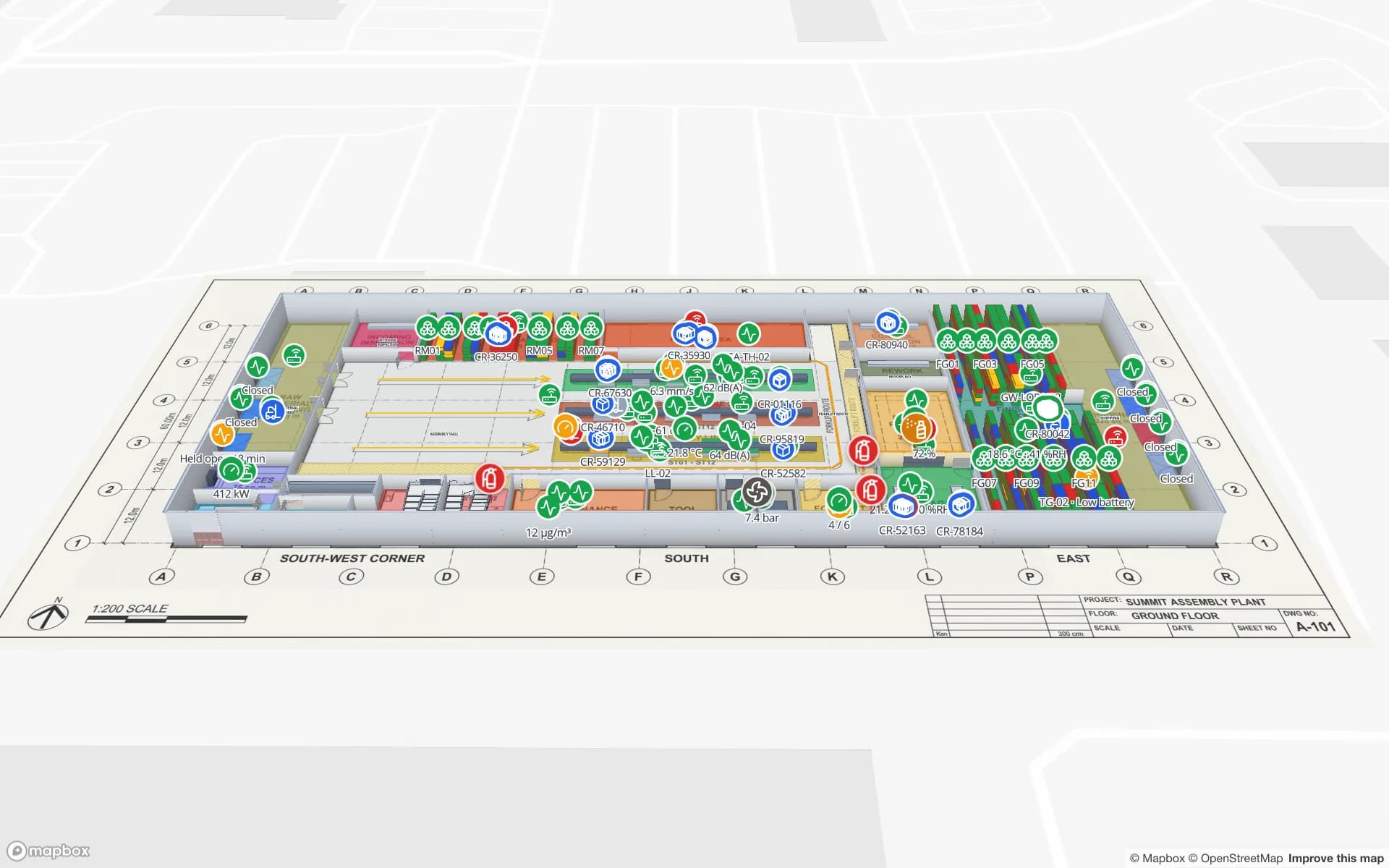
Spatial Map is RFID tracking and indoor mapping software that shows warehouses, plants and stores as live 3D maps in the browser. In Indonesia, the busiest freight corridor runs from the industrial estates of Bekasi and Cikarang to the port of Tanjung Priok, with e-commerce fulfilment centres and retail distribution spread across Greater Jakarta. Spatial Map puts RFID reads, rack stock and dock activity on the floor plan of each of those buildings, so a team in Jakarta can see a site in Karawang or Surabaya without driving there.

No credit card. Runs in the browser. Pro is $60/month for up to 4 facilities. Book a demo

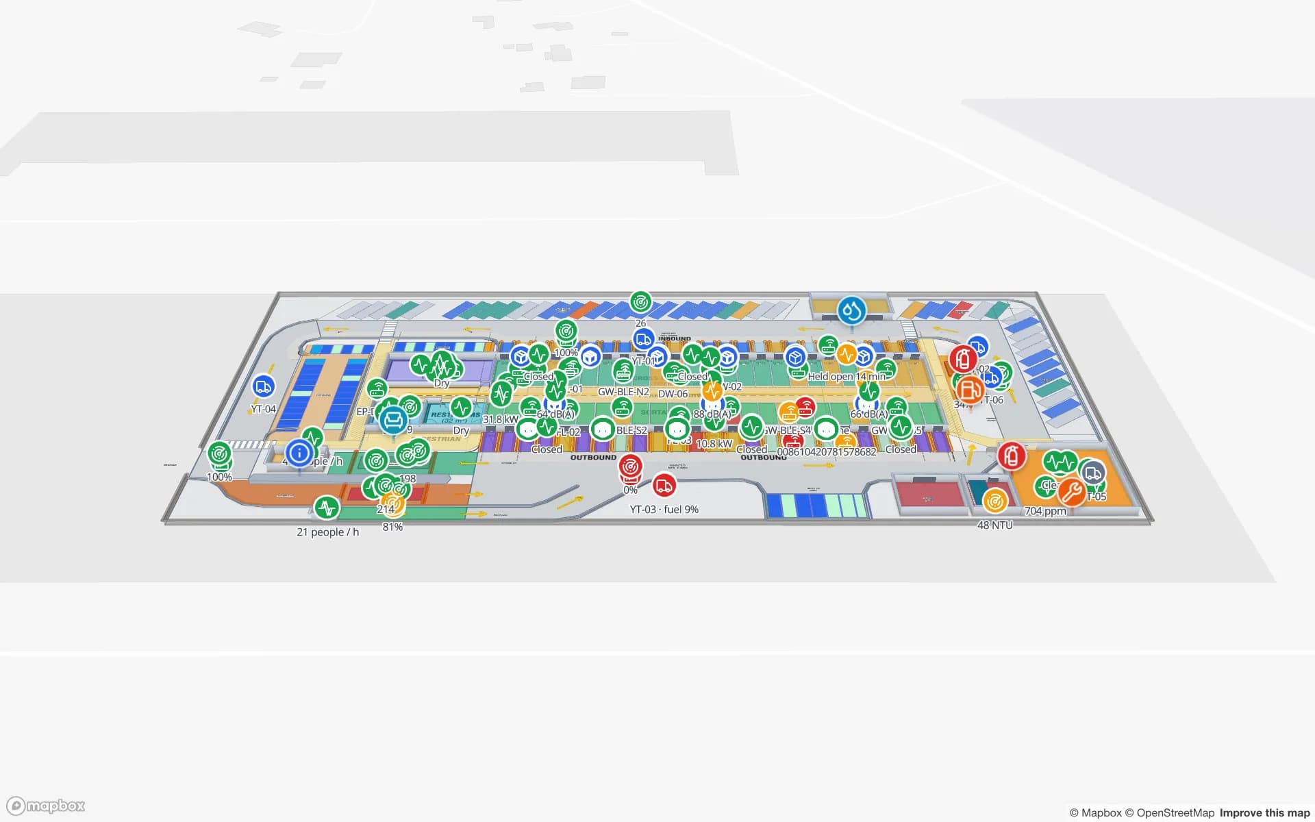
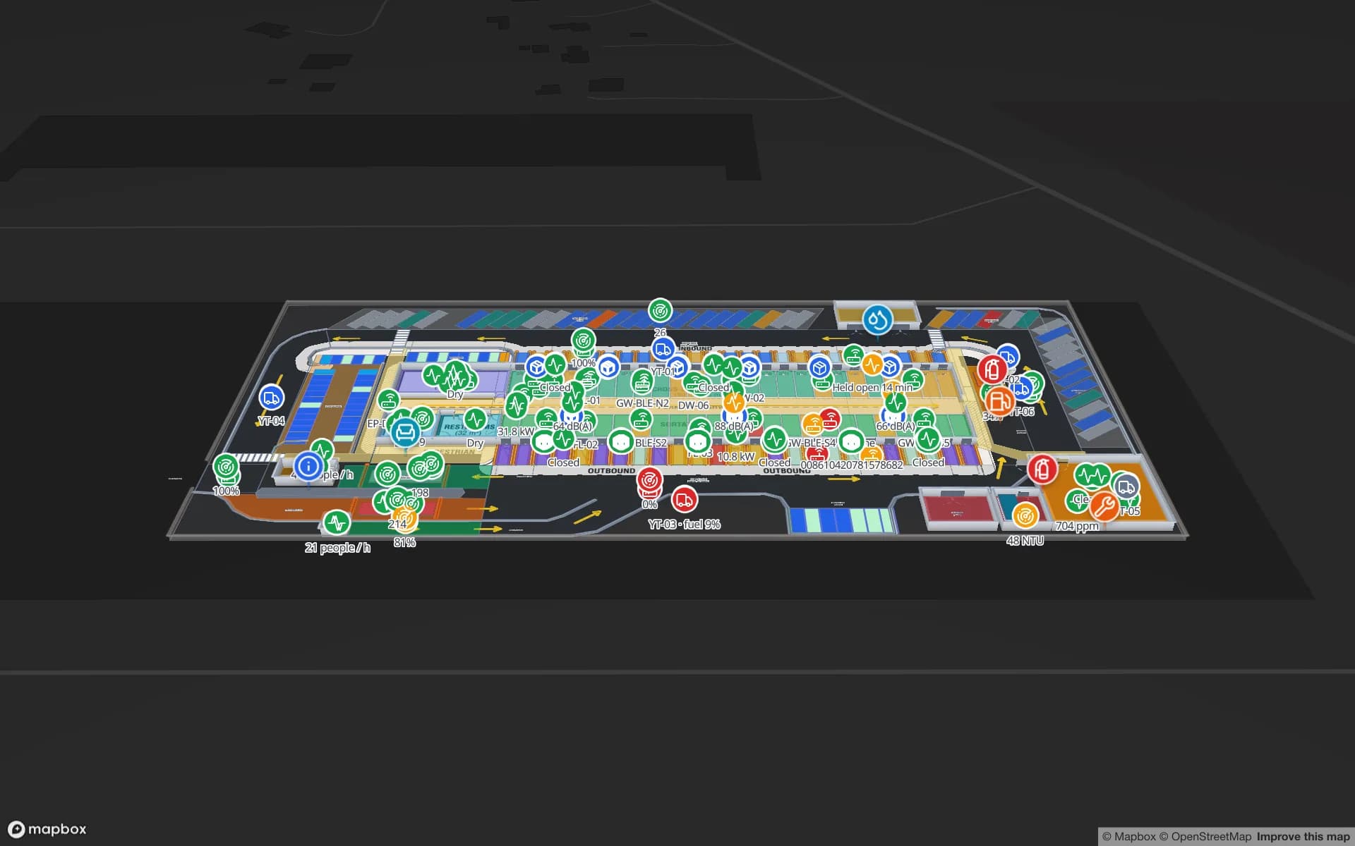
Eastport Cross-Dock Freight Hub, a cross-dock & trailer yard demo, in the Spatial Map 3D viewer with live device markers
Eastport Cross-Dock Freight Hub
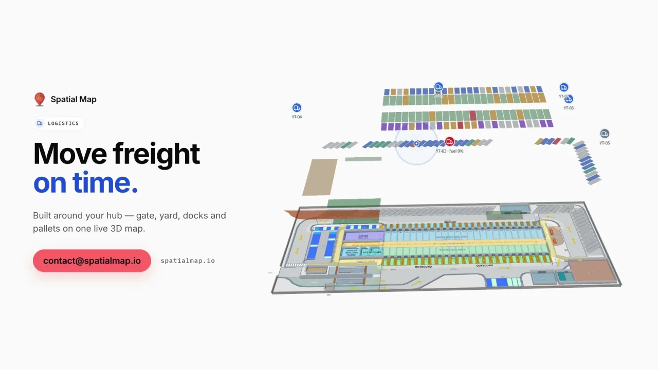
Eastport Cross-Dock, a demo freight hub: 50 dock doors, 44 yard slots and 1,180 RFID pallets, with the gate, weighbridge and trailer yard.
RFID pallets live in the Eastport Cross-Dock demo
1,180
Rack locations in the Crestline fulfilment demo
2,204
Software to install — runs in any modern browser
0
Free trial, up to 5 facilities, no credit card
7 days

From Cikarang to Tanjung Priok

East of Jakarta, the industrial estates of Bekasi, Cikarang and Karawang along the Jakarta–Cikampek toll road form the largest manufacturing area in Indonesia, with automotive, electronics, consumer-goods and plastics plants side by side. Much of what they import and export moves through Tanjung Priok in North Jakarta, the country’s busiest port, and the trucking between the two is where hours are lost.

The container freight stations, bonded warehouses and cross-docks along that corridor work against vessel cut-offs and truck slots. Spatial Map draws their dock doors, yard slots and staging lanes on the site plan and colours them from your yard or WMS data; RFID-tagged pallets are followed door to door, and the History player replays the night shift. The Eastport Cross-Dock demo shows a pallet staged in the wrong lane and short loads before cut-off, in place.


E-commerce fulfilment around Greater Jakarta

Indonesia is widely reported as Southeast Asia’s largest digital economy, and much of its online retail is fulfilled from warehouses around Greater Jakarta. These buildings handle many small orders a day, with sharp peaks on date-based sales such as 11.11 and 12.12, and the question on a peak night is simple: which racks are running empty, and where is the backlog?

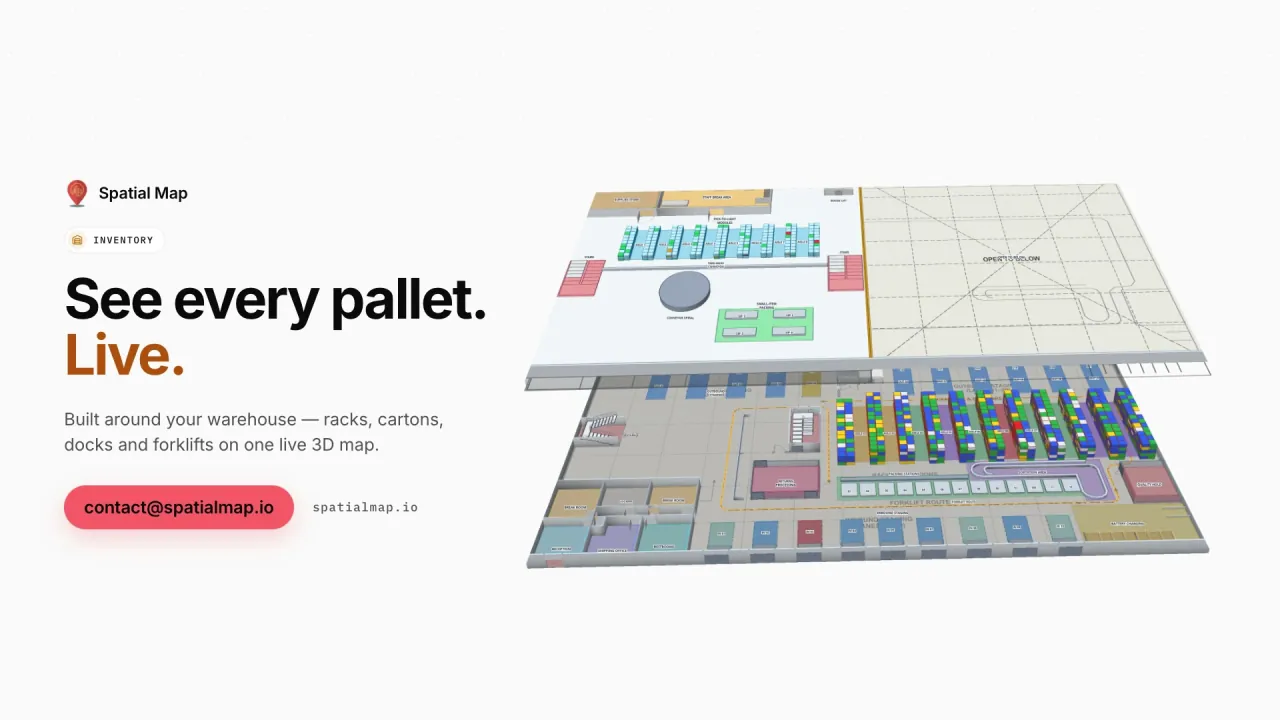
Spatial Map colours each rack location from your WMS stock by bin, shows pick-to-light zones, packing stations and staging lanes with their live output, and any point layer — pick scans, for example — can be shown as a heatmap weighted by a number field. The Crestline Fulfillment demo puts 20 racks and 2,204 locations, pick modules, packing and a trailer yard on two floors. An alert rule such as “number of empty locations above a threshold” is checked every 15 seconds and raised in the app.

Retail stock across the archipelago

Indonesia’s retailers supply stores spread over thousands of islands, usually from distribution centres in Greater Jakarta and regional hubs such as Surabaya, whose port of Tanjung Perak serves East Java and the eastern islands. Stock accuracy in the store is what decides whether the replenishment plan works, which is why item-level RFID has been adopted for apparel and other high-value lines.

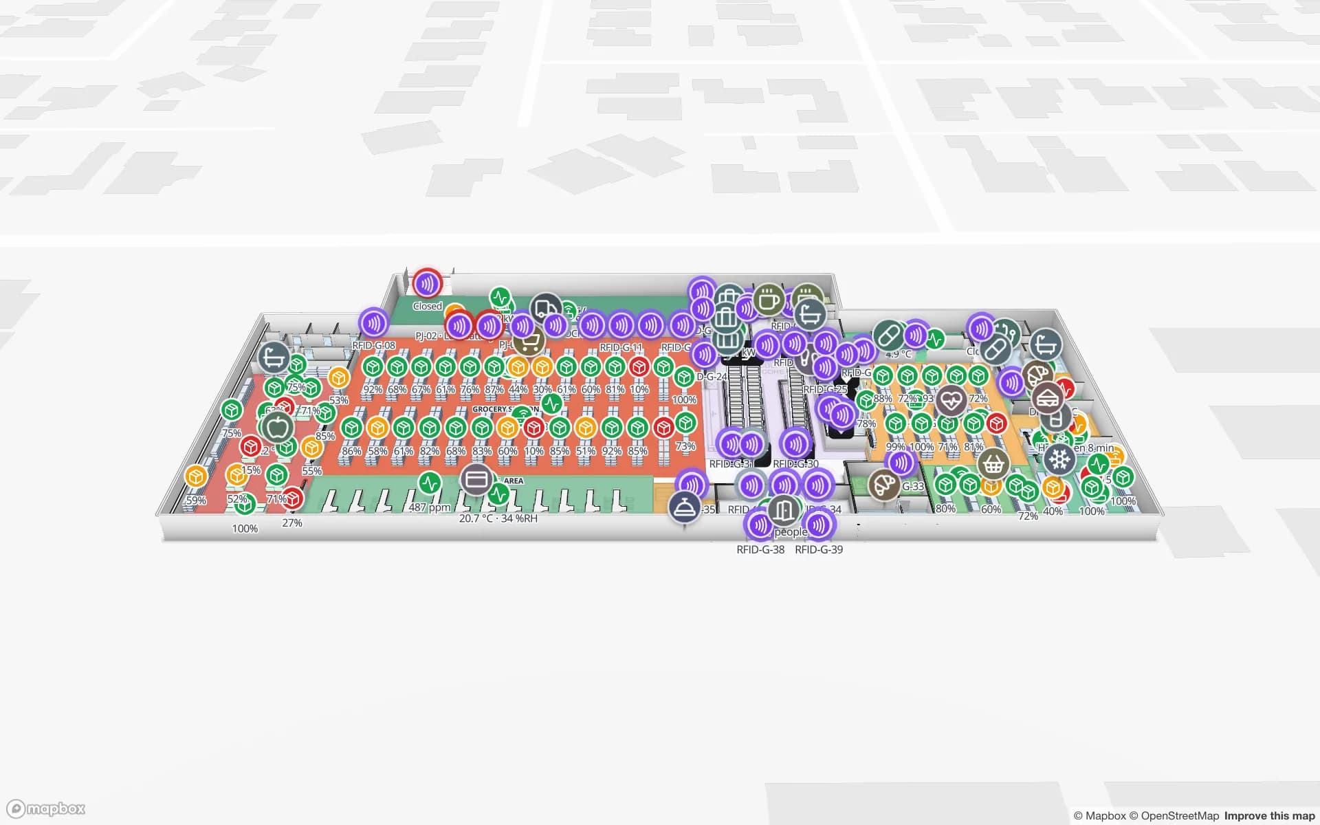
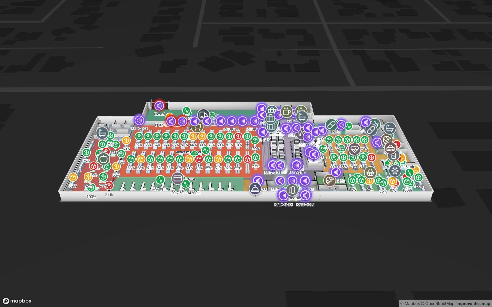
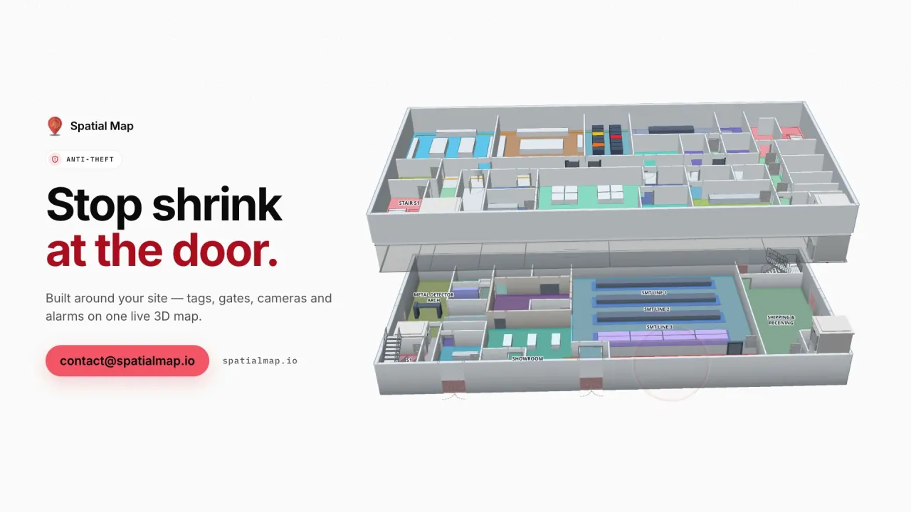
The Retail Mart demo shows a three-floor store with 85 RFID readers at doors, escalators and lifts, shelf stock by department and fridge sensors. A read-only share link per store lets an area manager in Makassar or Medan open their own store’s map without an account. See RFID for retail stores for how reads become stock on the map.

Bahasa Indonesia, hardware and the PDP Law

The interface is not available in Bahasa Indonesia; it ships in English, Chinese, Spanish, French, German and Arabic, and each user picks their own. Rack codes, zone names, column names and report titles are your own text, so a floor team sees them in Bahasa Indonesia exactly as you write them.

Spatial Map does not read tags itself. Your RFID middleware posts reads to a table through the write API, or exposes a REST endpoint that Spatial Map polls, so the readers and handhelds you already run — and the frequency band they are certified for in Indonesia — stay your supplier’s responsibility. Indonesia’s Personal Data Protection Law (Law No. 27 of 2022), whose two-year transition period ended in October 2024, is the context where data relates to people; your legal advisers decide what applies. A data processing agreement is available.

How Spatial Map does it

From site plan to live RFID map

  1. 01

    Upload the plan

    A PDF or DWG (AutoCAD R2004–R2018) of the warehouse, plant or store, placed at real-world scale.

  2. 02

    Draw docks, racks and zones

    Dock doors, yard slots, staging lanes, racks with their locations and store floors.

  3. 03

    Connect RFID and the WMS

    Your middleware or WMS posts rows to a table, or Spatial Map polls its REST endpoint; CSV and Excel uploads work too.

  4. 04

    Run peaks and report

    Live map, in-app alerts, history playback and reports in PDF, Excel, CSV or JSON.

What Indonesian teams use it for

Container freight stations near Tanjung Priok

Dock doors, yard slots and RFID pallets staged against vessel cut-offs.

E-commerce fulfilment centres

Rack-level stock, pick zones and packing output through sale-day peaks.

Plants in the Bekasi–Cikarang corridor

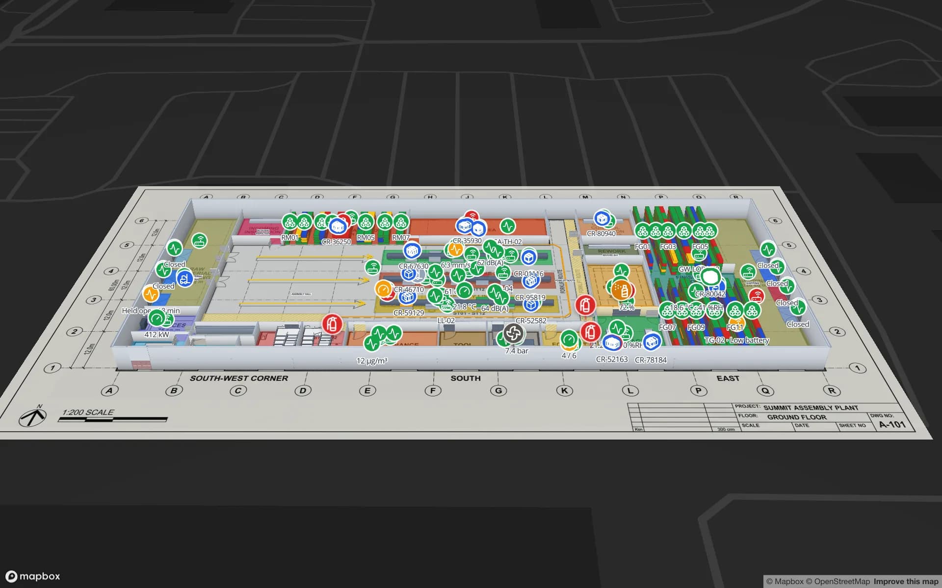
Lines, WIP carriers, raw-material racks and docks coloured from your MES.

Multi-floor retail stores

Item-level RFID stock, exits and shelves across floors, escalators and lifts.

See it on real demo facilities

Fictional names, real floor plans, live sensors, RFID, BLE tags and gateways — open any of them in the browser.

All 13 demo facilities

Questions from Indonesian teams

Yes. Spatial Map runs in the browser, so the same live map opens wherever your team is. The floor plan is uploaded, the building drawn and the data connected remotely — there is nothing to install on site.

The map shows whatever your WMS sends, as often as it sends it: racks coloured by stock, pick and packing output, staging lanes. Alert rules on those tables are checked every 15 seconds and shown in the app, so a supervisor sees an empty zone or a growing backlog while the peak is on.

Not yet. The app is available in English, Chinese, Spanish, French, German and Arabic, and each user picks their own. Your own content — zone names, rack codes, report titles — can be written in Bahasa Indonesia.

The ones you already run. Your RFID middleware posts reads (tag, reader, time) to a table through the write API — HTTPS, bearer API key, bulk upsert, 60 requests per minute per key, so reads are sent in batches — or exposes a REST endpoint that Spatial Map polls. Spatial Map does not read tags itself.

No. Spatial Map is sold online and our team works with customers remotely, by video call and through the contact form.

The same worldwide, in US dollars: a 7-day free trial for up to 5 facilities with no credit card, then Pro at $60 a month or $600 a year for up to 4 facilities. Larger networks are quoted as custom services.

Map your first Indonesian site this week.

Start the free trial, or send us a warehouse or store layout and a sample of your RFID or WMS data through the contact form.