
Azure Maps Creator is retired: what it means and your options
Azure Maps Creator retirement explained: what was retired on 30 September 2025, what survives, migration options by category and a step-by-step checklist.
Azure Maps Creator retirement: what happened
The Azure Maps Creator retirement took effect on 30 September 2025. Microsoft announced it in September 2024, stopped new Creator accounts on 20 September 2024, and said that on the retirement date workloads running the Creator service APIs (V2 and the 2023-03-01-preview) would be deleted, with their application data lost. The Creator indoor modules for the Web SDK, the Creator onboarding tool and the QGIS plug-in went with them. Microsoft’s notice did not name a replacement.
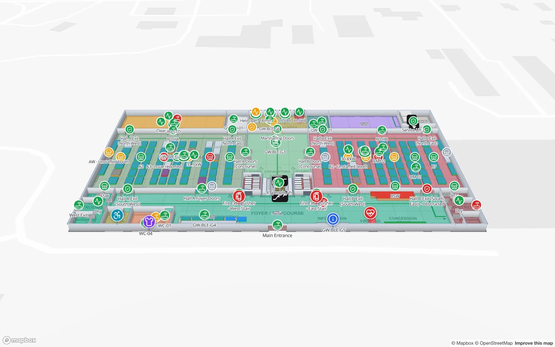
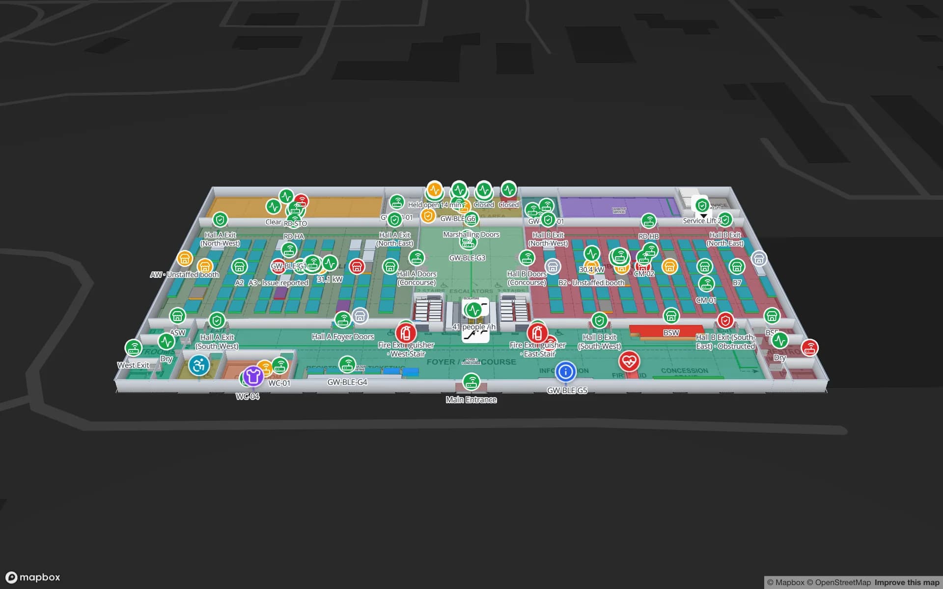
Azure Maps itself continues: base maps, search, routing, traffic, weather and the Web SDK are still documented and available. What disappeared is the indoor part. Spatial Map is an indoor mapping platform that turns floor plans into multi-floor 3D maps with live data on them, and is one of the places former Creator users can rebuild; this post covers the options in general first.
What Azure Maps Creator did
Creator was a set of services for turning AutoCAD floor plans into indoor map data on Azure. Most projects used the same chain:
| Creator piece | What it did |
|---|---|
| Drawing package + conversion | You zipped DWG files with a manifest that described levels and layers; the conversion service extracted units, walls, openings and levels |
| Datasets and the facility ontology | Stored the converted features in a fixed indoor data model (facility, level, unit, opening and so on) |
| Tilesets and map configuration | Turned datasets into vector tiles the Web SDK could draw |
| Feature statesets | Dynamic styling: push a value per unit (temperature, occupancy) and the map recoloured it |
| WFS API | Queried and downloaded features from a dataset |
| Indoor module for the Web SDK | Drew the indoor map with a level picker and the dynamic styles |
| Wayfinding (preview) | Routes between points inside a facility |
Typical uses were office and campus maps with room status, smart-building dashboards fed by IoT sensors, and indoor directions in internal apps.
What the retirement means if you used it
If an application still points at Creator, its indoor layer now has nothing to load. The converted datasets, tilesets and statesets are gone, so the question is what you still have to rebuild from.
| Asset | Where it may be | Why it matters |
|---|---|---|
| Original DWG files and manifest | The drawing package you uploaded, the CAD team, the landlord | The best source for a new map: true scale, real units, one file per level |
| Exported GeoJSON | Anything downloaded through the WFS API before the deadline | Room outlines and names you can reuse or check against |
| Unit IDs and names | Your app’s config, sensor mapping tables, statesets code | The keys your data was matched on; keep them so feeds still line up |
| Data feeds | IoT Hub, functions or services that wrote to statesets | They still produce values; they need a new place to send them |
| App code | Your repository | UI and logic that may survive if you stay on a map SDK |
Migration options by category
There is no one-to-one replacement, because Creator was several things at once. Decide which job it actually did for you.
| Option | Fits when | Watch out for |
|---|---|---|
| Build your own on a map SDK (the Azure Maps Web SDK, MapLibre GL JS, Mapbox GL JS) | You have developers, you want full control, and the indoor part is a small piece of a larger app | You now own conversion, floors, styling, routing and the editing workflow — everything Creator did for you |
| Visitor wayfinding platform | Public venues where the main job is directions and a phone blue dot | Maps are often built by the vendor; check how live operational data fits in |
| Indoor GIS | Your organisation already runs an enterprise GIS and keeps its building data there | Licensing and GIS skills; heavier than an operations team needs |
| Live operations map / digital twin | Creator mainly showed sensor or status data per room — the stateset use case | Check how data gets in, and whether the tool can be edited by your own team |
| Self-hosted open source | Data must stay on your own network, or you want to change the code | You run the servers, upgrades and backups |
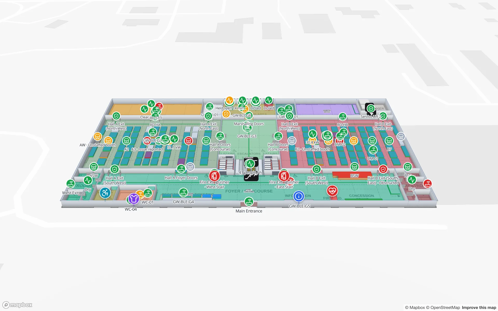
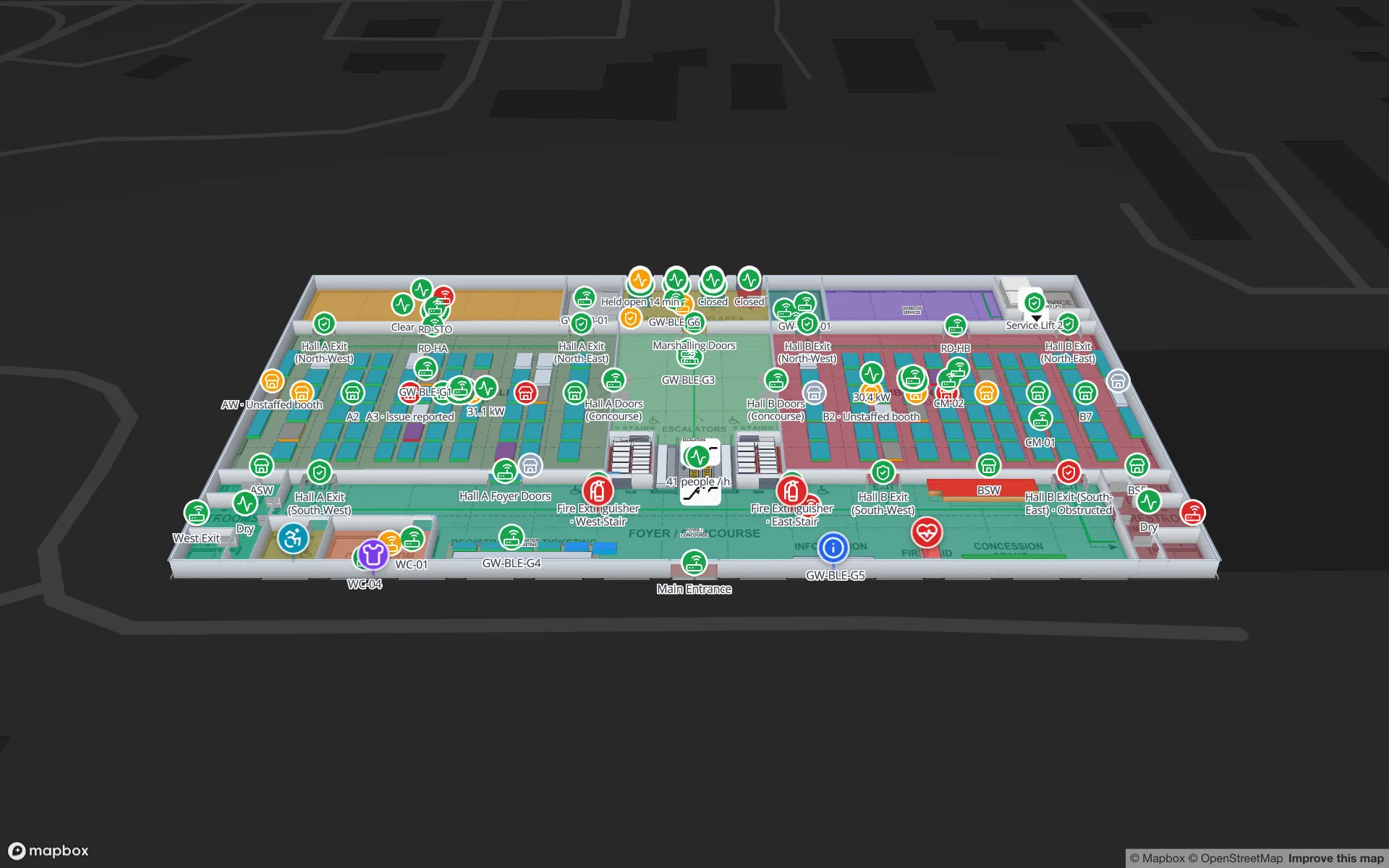
Spatial Map sits in the last two rows: a hosted live operations map, and the same app as an MIT-licensed, self-hosted edition. The detailed comparison, with where it fits and where it does not, is on the Azure Maps Creator alternative page.
How Creator concepts translate to Spatial Map
| In Creator | In Spatial Map |
|---|---|
| Drawing package (DWG + manifest) | Upload each level’s DWG (R2004–R2018) or PDF; it is placed as a true-scale floor plan picture. Walls and rooms are then drafted by AI Map and reviewed, or traced |
| Levels | Floor plans stacked by elevation, with a floor switcher in the viewer |
| Units | Areas (rooms, zones), with walls, doors and racks as their own shapes |
| Feature statesets | A table or REST source, linked to shapes by name, coloured by style rules |
| Indoor module with level picker | The browser viewer and read-only share links |
| Wayfinding (preview) | Multi-floor routes through stairs, lifts and escalators, with Fastest, Step-free and Other route |
A migration checklist
- 1List what Creator did for you
Directions, room status, sensor colours, search, an internal app. That list decides the category.
- 2Recover the source files
Find the DWG drawing packages and any exported GeoJSON. Ask the CAD team for current revisions; buildings change.
- 3Export the ID mapping
Write down which sensor, booking or asset ID belonged to which unit, so data can be re-linked by the same keys.
- 4Rebuild one floor
Pick a floor with live data, rebuild it in the new tool, and connect one real feed before converting the rest.
- 5Re-point the data feeds
Send the values that went to statesets to the new destination — in Spatial Map, a table with a write API or a REST source the app polls.
- 6Test, then switch users over
Check room names, floor order and routes against the building, then replace the old links in your apps and intranet.
For the import side in detail, see floor plan to indoor map and the PDF and DWG import guide. Spatial Map’s 7-day free trial covers up to 5 facilities with no card, enough to rebuild a pilot building before you commit.
Try the platform your data belongs on.
Spatial Map turns spreadsheets, sensor streams, and CAD drawings into one live 3D facility view — nothing to install, seven-day free trial.
Keep reading
- Deep-diveDoes GPS work indoors? Why it fails and what works insteadGPS barely works inside buildings: the signals are too weak and bounce off everything. Here is why, how indoor positioning options compare, and why each one still needs an indoor map.
- Deep-diveHow far can RFID be read? Read ranges by type, and what shortens themPassive UHF reads metres away, HF and NFC centimetres, active RFID tens of metres. Typical ranges by type, why real ranges are shorter, and how to test your own.
- Deep-diveOpen source digital twin software: the stacks behind a building twinOpen-source digital twins are built from parts: a map or 3D engine, an IoT platform and an application on top. This guide sorts the well-known projects by layer, checks their licences and shows where an MIT-licensed indoor twin fits.