BLE · Bluetooth beacon tracking

Bluetooth beacon tracking: last seen, zone and trail for every beacon

Spatial Map shows Bluetooth beacon tracking data on a live 3D map of your building. Your gateways, or the positioning engine behind them, decide where each beacon is; Spatial Map shows when and where it was last seen, the zone it is in, the trail it took and a heatmap of where beacons gather, and raises an in-app alert when one has not been seen for too long.

Last updated:

No credit card. Runs in the browser. Pro is $60/month for up to 4 facilities. Book a demo

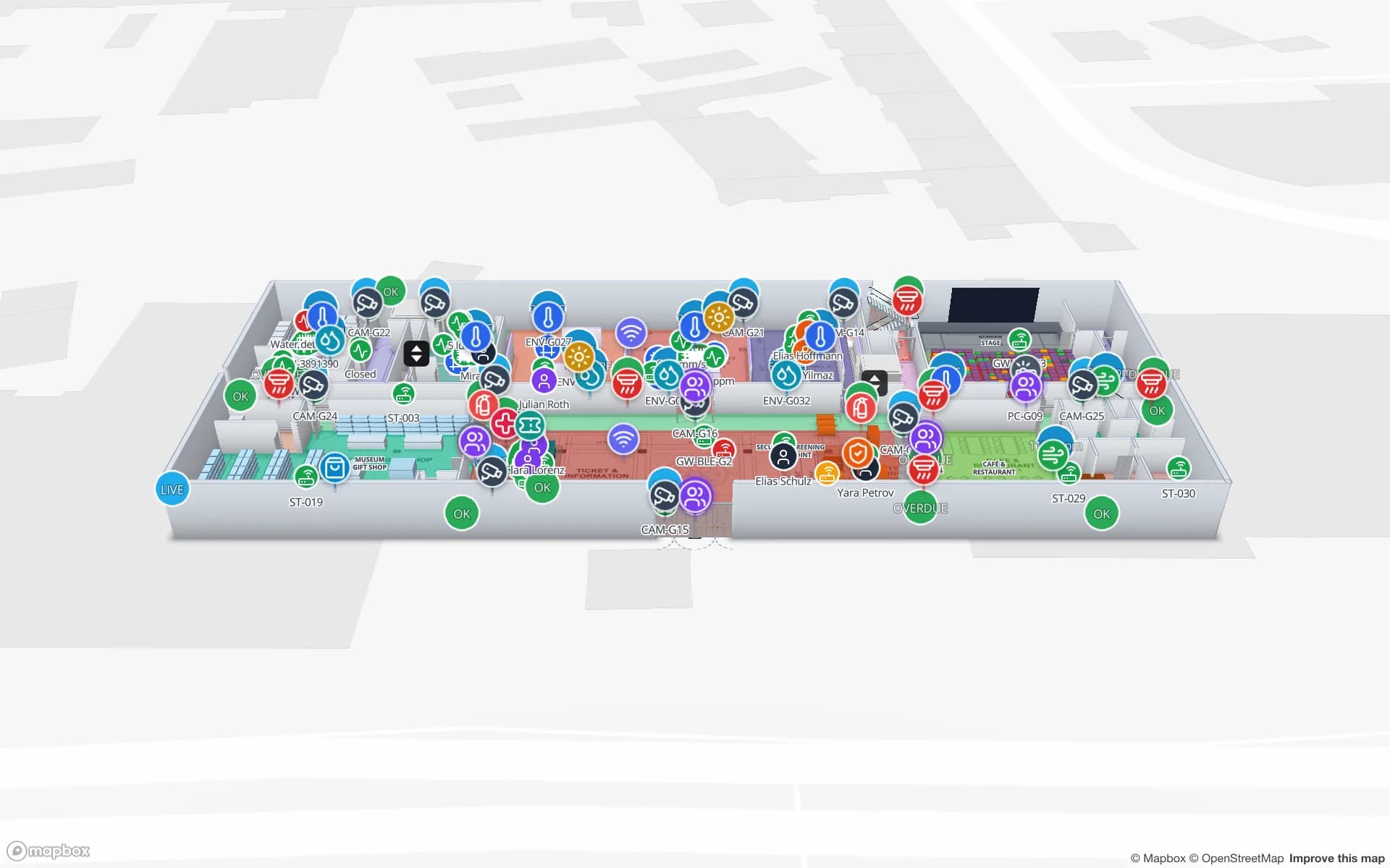
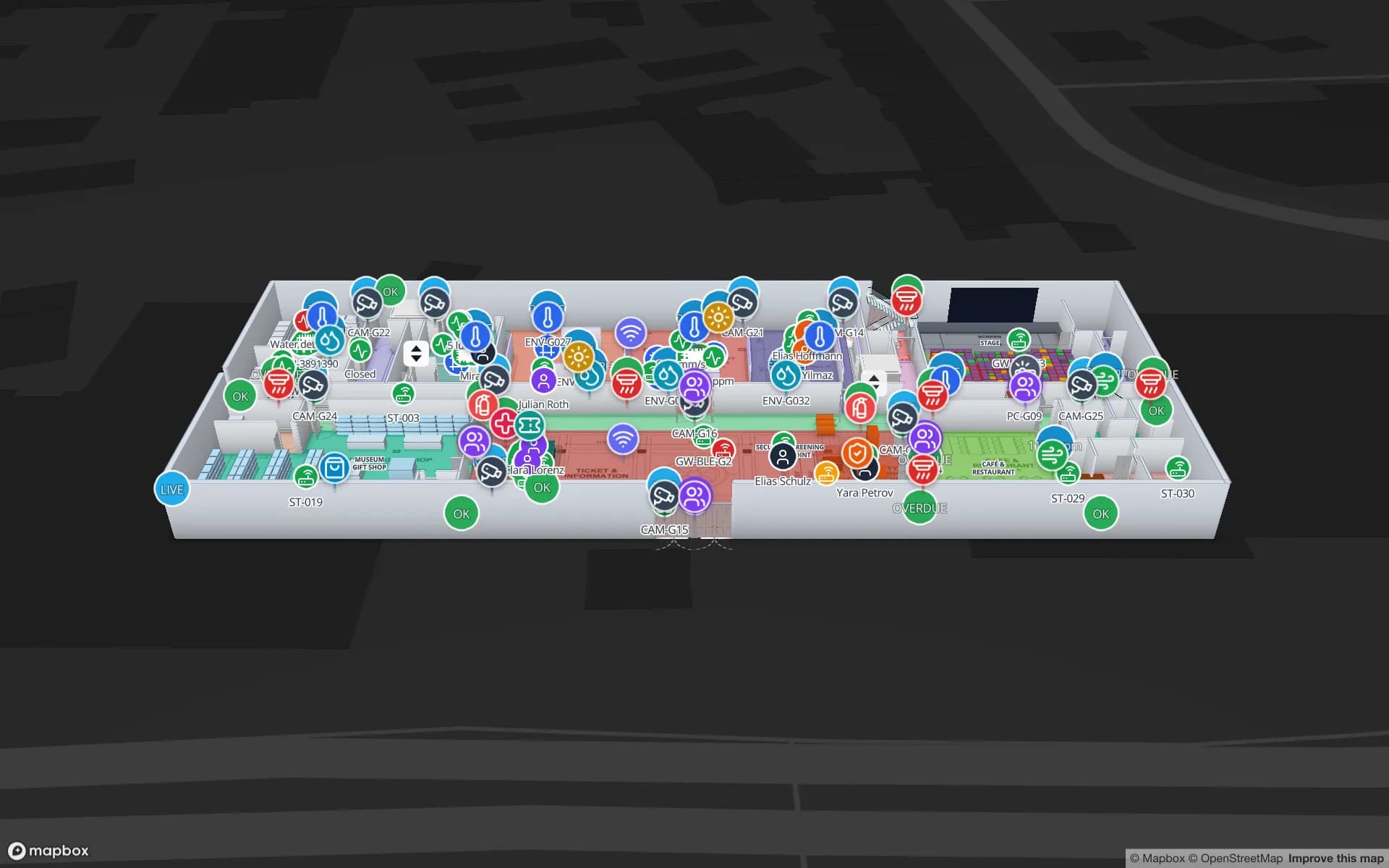
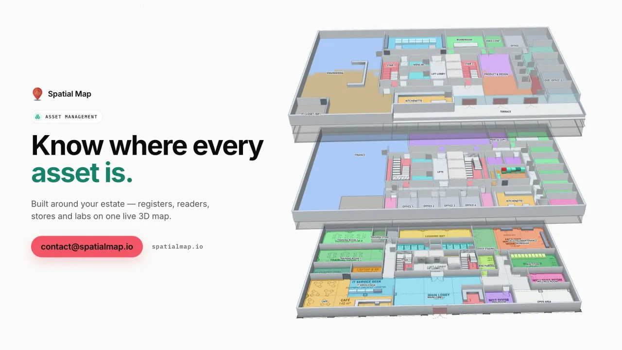
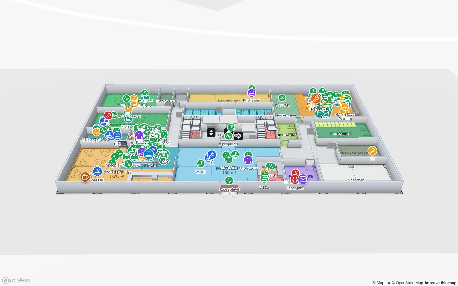
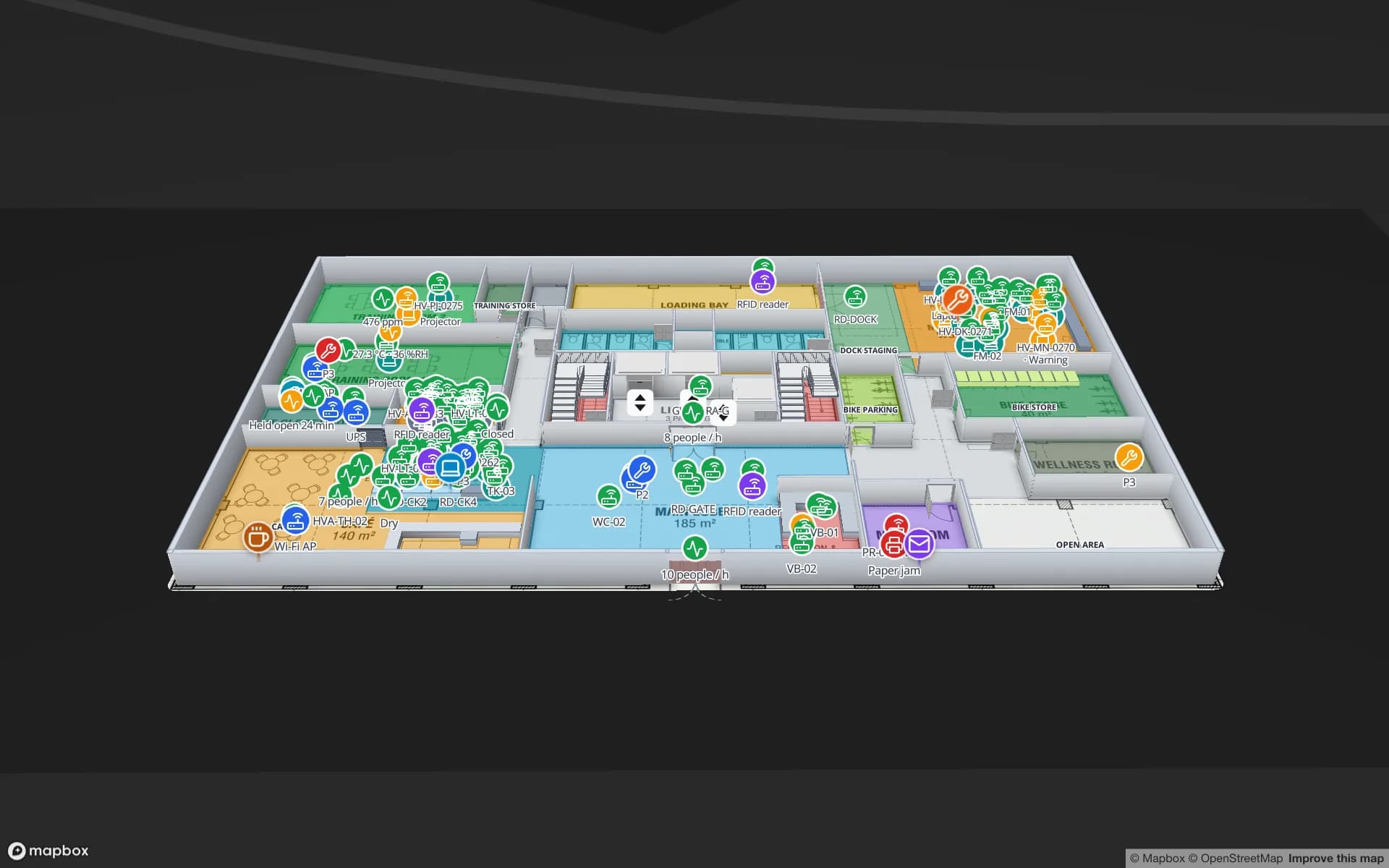
Harborview Corporate Campus — Building A, a corporate office building demo, in the Spatial Map 3D viewer with live device markers
Harborview Corporate Campus — Building A
Harborview Corporate Campus — Building A (demo): staff, visitors and equipment located by zone on three office floors, with reader and gateway health beside them.
Demo facilities, each with BLE tags and gateways
13
Floors in the Harborview office demo
3
Recent changes kept per row for trails
500
Free trial, no credit card
7 days

Beacon, tag or gateway: the device you attach and the one you mount

In the market, “beacon” covers almost any small Bluetooth Low Energy transmitter. For tracking, the useful split is between what moves and what is fixed. The device you attach to a wheelchair, cart or audio guide is a tag (often sold as a beacon). The powered receiver you mount on a wall or ceiling, which hears tags nearby and forwards what it hears, is a gateway, also called a locator, reader or anchor.

There is also the reverse set-up: fixed beacons on the walls and a phone or badge that listens and works out where it is. That suits apps that guide a person; asset tracking usually runs the other way, because a server that hears every tag can answer “where is it?” without anyone holding a phone. Either way, Spatial Map needs the server-side result, a row per beacon.
Two ways sightings become a location

A gateway reports that it heard beacon 0417 at a given signal strength. Turning that into a location is the job of your gateway software or positioning engine, and it is done in one of two ways:

  • Nearest gateway or zone — the gateway that hears a beacon best, usually smoothed over a few sightings, decides its zone. Simple and cheap, enough for “which room”, with some flicker at room boundaries. Spatial Map matches the zone name to the room of the same name and lists or counts the beacons inside.
  • x/y from a positioning engine — several gateways hear the same beacon and the engine estimates coordinates from signal strength or angle of arrival. It needs more receivers and a calibration walk. Spatial Map draws each beacon as a live marker at the longitude and latitude the engine reports, on the right floor.
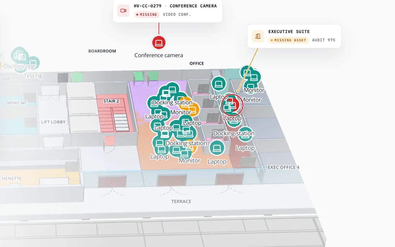
Harborview Corporate Campus in 3D: tagged office equipment by room, then the view zooms to the boardroom where a missing conference camera is marked
Harborview Corporate Campus — Building A
Harborview Corporate Campus (demo): tagged equipment by room on the second floor, and a missing conference camera pinpointed.

How many gateways, and how long batteries last

For zone-level tracking, plan at least one gateway for each zone you need to tell apart, placed so neighbouring zones do not hear each other more than necessary. Walls, racking, metal, liquids and crowds all absorb Bluetooth signal, so open-plan figures rarely hold in a warehouse or a hospital corridor. For x/y positions, each beacon must be heard by several gateways at once, which means a grid rather than one per room. Your vendor’s planning tool and a walk test with real tags settle the number; every gateway also needs power and a network connection.

Beacon battery life depends on the advertising interval, the transmit power, any sensors or buttons, and the temperature the beacon lives at. Vendors quote figures at a stated interval, often from months to several years on a coin cell. Send a battery field with each row and a style rule or report shows which beacons to replace before they go quiet.

What Spatial Map shows for each beacon

Beacon rows land in a table, one per beacon, and a data link binds them to the map:

  • Last seen — the time and place of the last sighting, in the tooltip and the detail drawer.
  • Zone — the room or area the beacon is in, with counts per zone coloured by style rules.
  • Trail — the History player replays where a beacon went, from the row’s change history.
  • Heatmap — where beacons gather over a shift, as a heatmap that stops at walls, one floor at a time.
  • Alerts when not seen — a “not updated for N minutes” rule flags a beacon or gateway that has gone quiet; “number of matching items” flags a zone with too few wheelchairs or carts.
  • Gateway health — each gateway as a marker with its last seen, so a dead receiver is visible where it hangs.
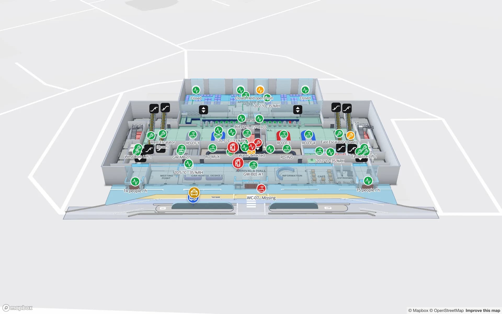
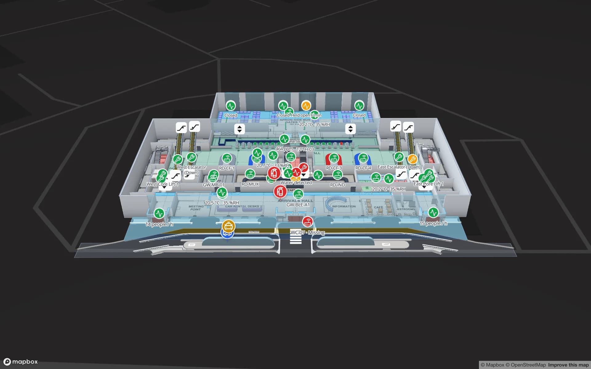
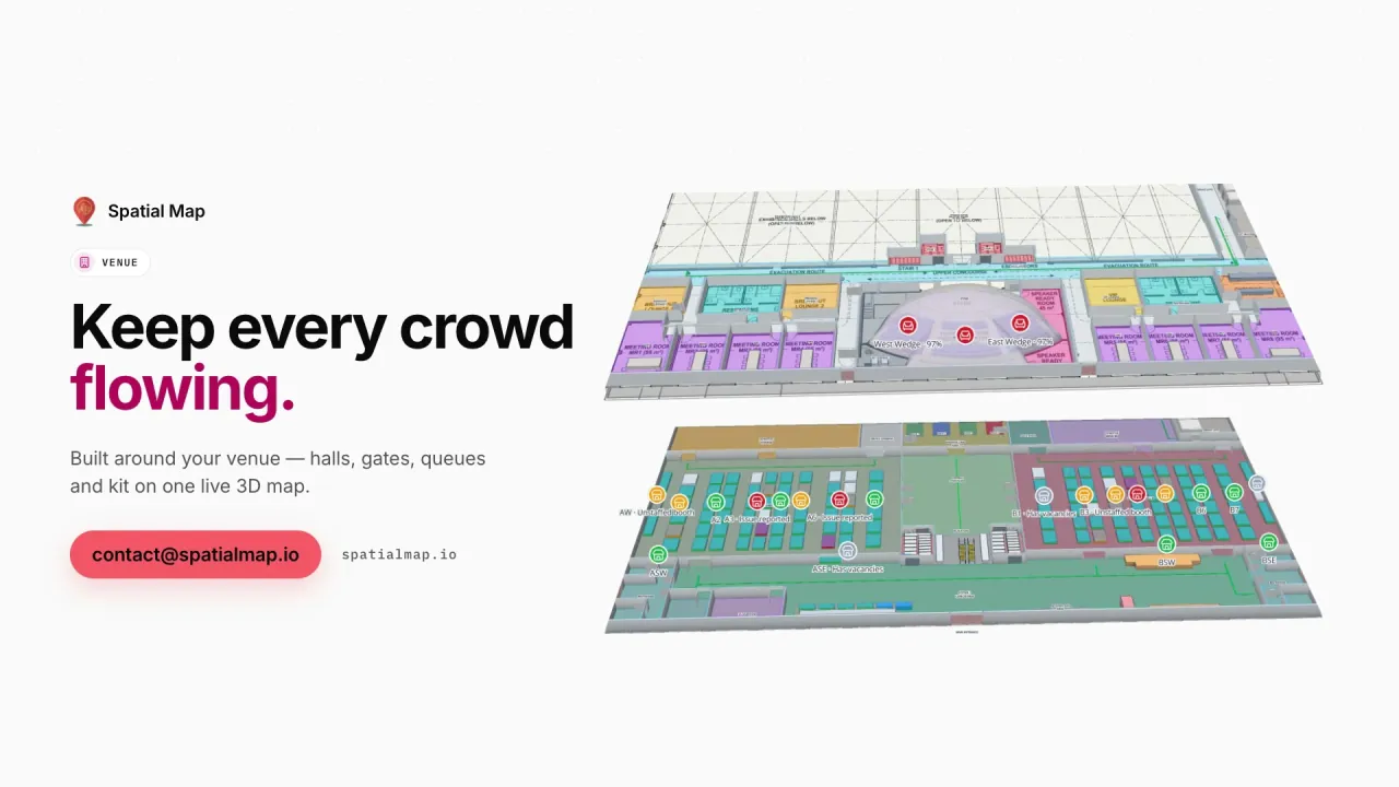
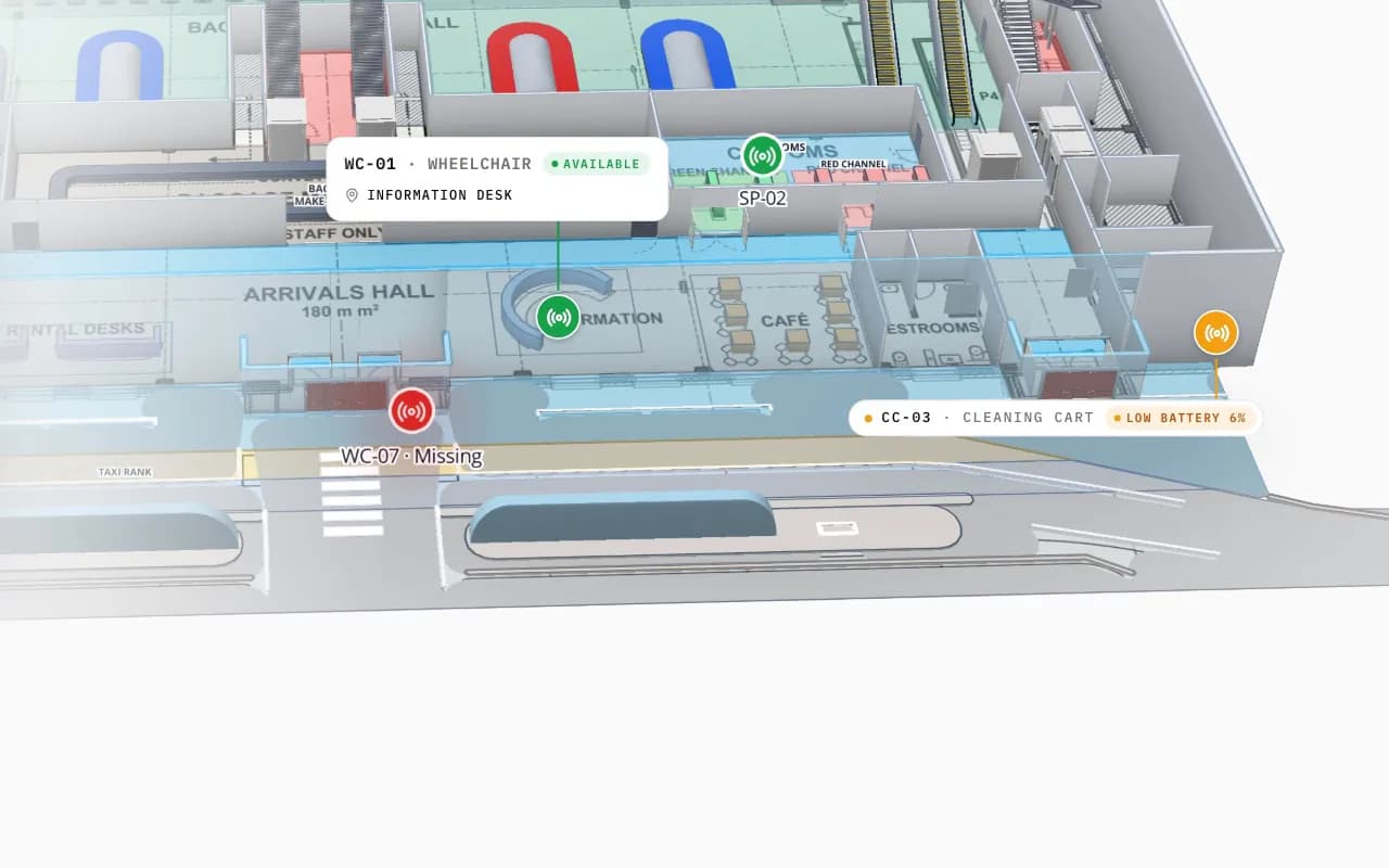
Silverbay Airport Terminal 2 in 3D: the view moves into the arrivals hall, where a loan wheelchair and other tagged equipment are marked on the floor plan
Silverbay International Airport — Terminal 2
Silverbay Airport Terminal 2 (demo): the view moves into the arrivals hall, where a missing loan wheelchair and other tagged equipment are shown in place.

Honest about who computes what

Spatial Map does not compute positions from RSSI and does not talk to beacons or gateways; your gateway software or positioning engine does. It shows the zone or coordinates that system reports, a few seconds behind it. A “not seen” alert also depends on your feed: if the engine only writes when a beacon moves, send a last-seen update on a schedule, or a beacon sitting still on a shelf will look missing. Alerts appear in the app only, with no email, SMS or push. If your gateways need a relay to post rows, that is custom development; tracking people needs the care described on BLE asset tracking.

Before you buy beacons: a planning checklist

QuestionWhy it mattersWhere it shows in Spatial Map
Room or position?Decides how many gateways you buy and whether you need a positioning engineZone presence on rooms, or live markers that move
How often must it update?A shorter advertising interval drains batteries fasterLast seen times, and the delay in “not seen” alerts
Where do gateways get power and network?Mains or PoE, Wi-Fi or Ethernet, often the real cost of a rolloutGateway markers with health and last seen
How are zones named?Names in your data must match shape names on the mapRooms that light up or list the beacons inside
Will people carry tags?Location data about people is personal data in most placesAnonymous counts per zone instead of named markers

Accuracy is measured best in your own building: tag ten real assets for a week and compare where the map put them with where staff found them. See real-time indoor asset tracking.

How Spatial Map does it

Beacon tracking on a map in four steps

  1. 01

    Map floors and zones

    Import PDF or DWG floor plans and draw rooms and areas, named like the zones in your gateway software.

  2. 02

    Place the gateways

    Add a marker per gateway so its health and last seen show where it is mounted.

  3. 03

    Connect the feed

    Your gateway software or engine posts a row per beacon with the write API, or Spatial Map polls its REST endpoint.

  4. 04

    Add alerts and reports

    Rules for beacons not seen and zones running short, trails in History, reports and share links.

Beacon tracking in the demos

Loan wheelchairs at arrivals

Wheelchairs located across the terminal, with a count per hall so a short zone is spotted before passengers wait.

Audio guides in a museum

Audio guides and equipment located by gallery across three floors, with the ones not returned easy to find.

Pickers and carts by zone

Carts and pickers located by warehouse zone, next to the racks and staging lanes they work.

Trucks and staff at a cold store

Yard trucks and staff located on site, beside reefer docks and cold rooms.

See it on real demo facilities

Fictional names, real floor plans, live sensors, RFID, BLE tags and gateways — open any of them in the browser.

All 13 demo facilities

Bluetooth beacon tracking — frequently asked questions

No. Your gateway software or positioning engine turns sightings into a zone or coordinates. Spatial Map shows what it reports on a 3D floor plan, with last seen, trails, heatmaps and alerts.

For asset tracking you attach battery tags, often sold as beacons, to the things you want to find, and mount powered gateways that hear them. Fixed beacons with a phone that listens suit apps that guide people, which is a different set-up.

For room-level tracking, at least one per zone you need to tell apart; for x/y positions, enough that several gateways hear each beacon at once. Building materials change the answer a lot, so use your vendor’s planning tool and a walk test.

It depends on the advertising interval, transmit power, sensors and temperature. Vendors quote figures at a stated interval, often from months to several years. Sending a battery field lets Spatial Map colour or report the beacons that need replacing.

Yes, in the app. A “not updated for N minutes” rule is checked every 15 seconds and shows in the bell, as a toast and on the Alerts page. Your feed must update each beacon’s row regularly, or a beacon that is simply not moving will look missing.

If your own app or platform collects sightings from phones and writes rows to a server, Spatial Map can show the result. There is no Spatial Map mobile app or SDK; the viewer and share links run in a mobile browser.

A 7-day free trial covers up to 5 facilities with no credit card. Pro is $60 a month or $600 a year for up to 4 facilities. The relay between your system and Spatial Map, and larger estates, are quoted as custom services or custom development.

See every beacon’s last seen on your own floor plan.

Start a free trial and open the Harborview and Silverbay demos, or send us a floor plan and an export from your gateway software and we will map it for you.