Oman · Indoor mapping & wayfinding

Indoor mapping and wayfinding in Muscat, Oman

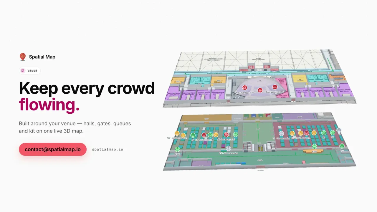
Muscat’s malls, its convention centre, the airport terminal, museums, hotels and ministries welcome residents, visitors and tourists who expect to read a building in Arabic or English. Spatial Map turns their floor plans into a multi-floor 3D map in the browser: operations teams run it with live data, and visitors open it from a link on their phone to find the shop, hall, gallery or office they came for.

No credit card. Runs in the browser. Pro is $60/month for up to 4 facilities. Book a demo

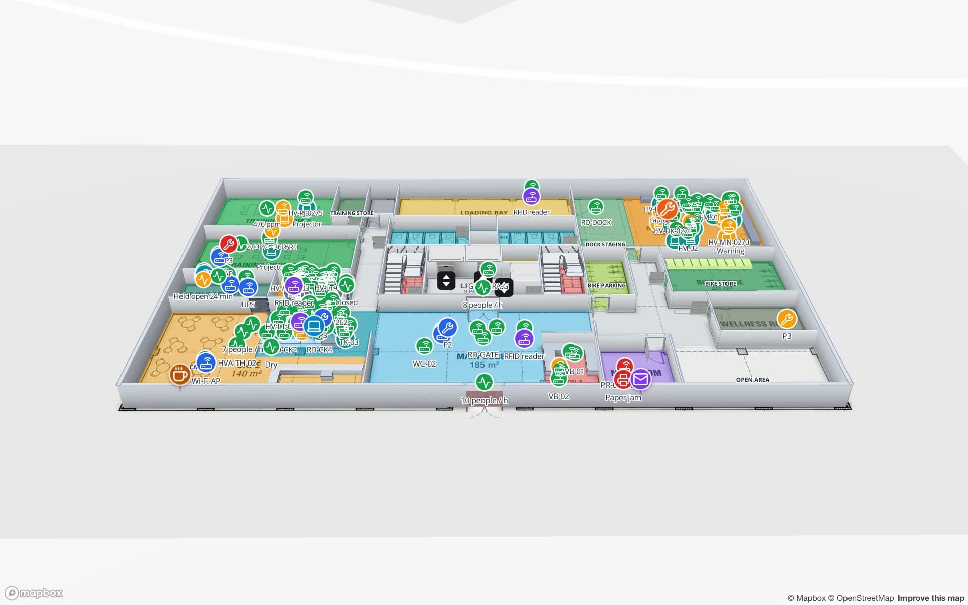
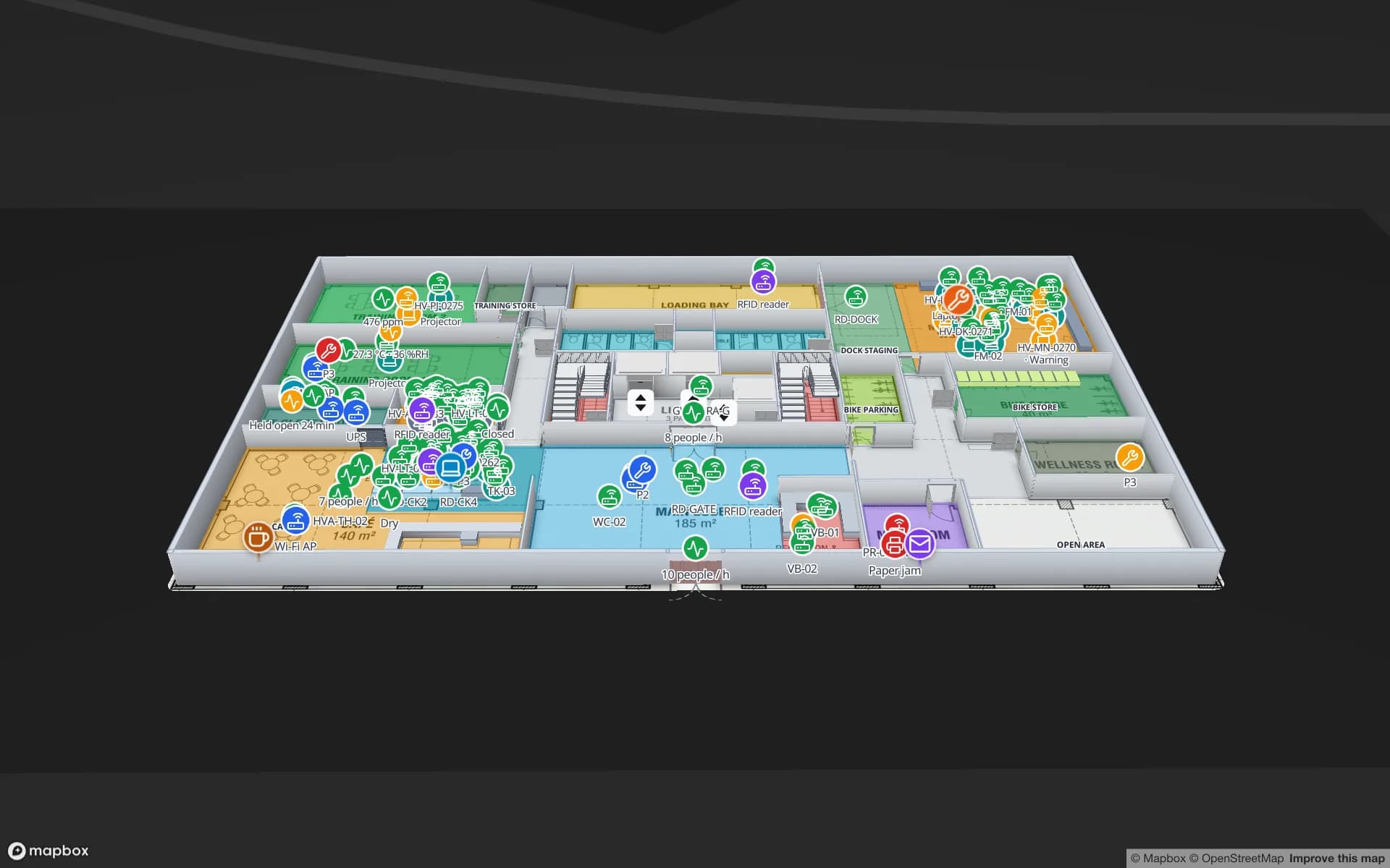
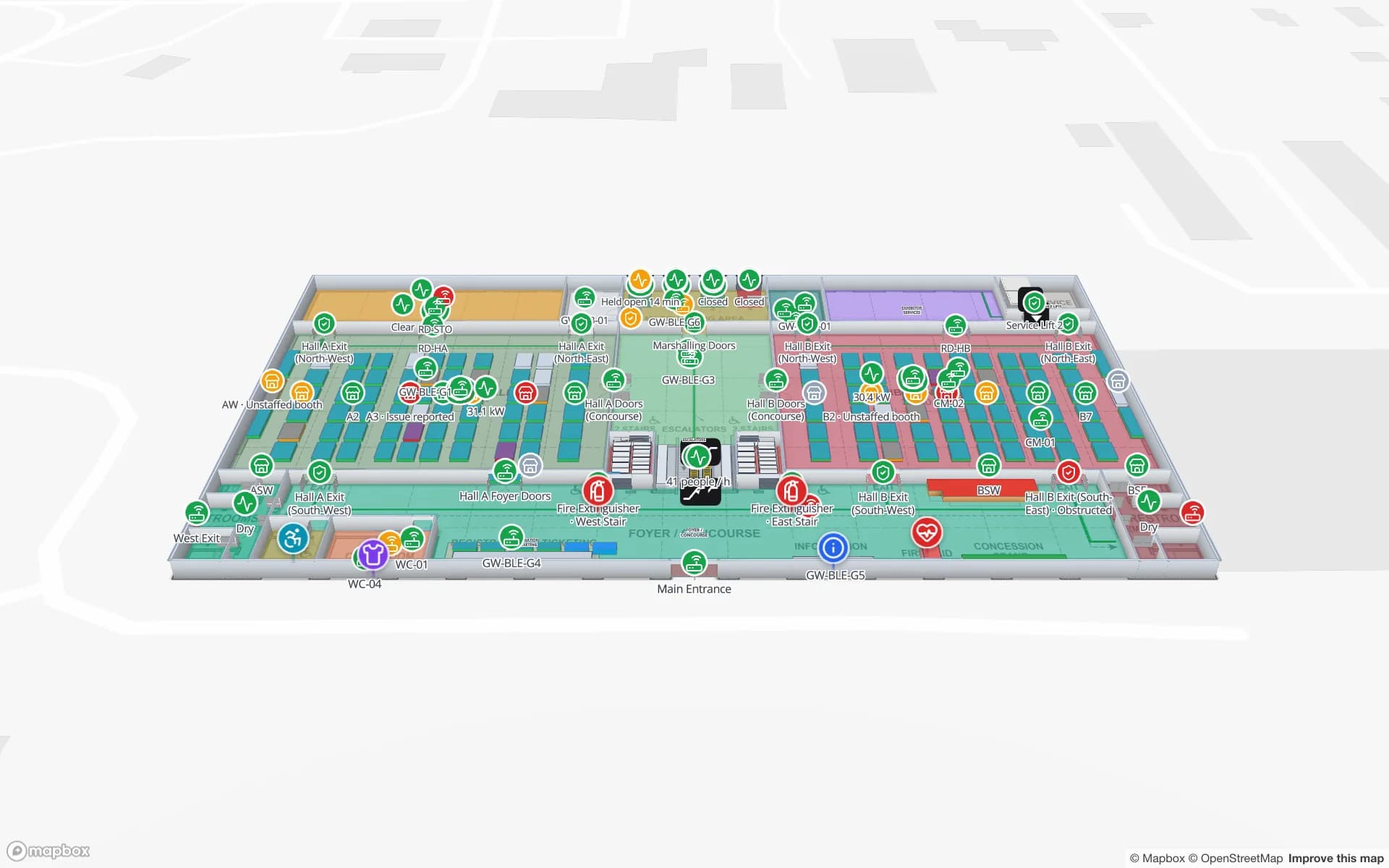
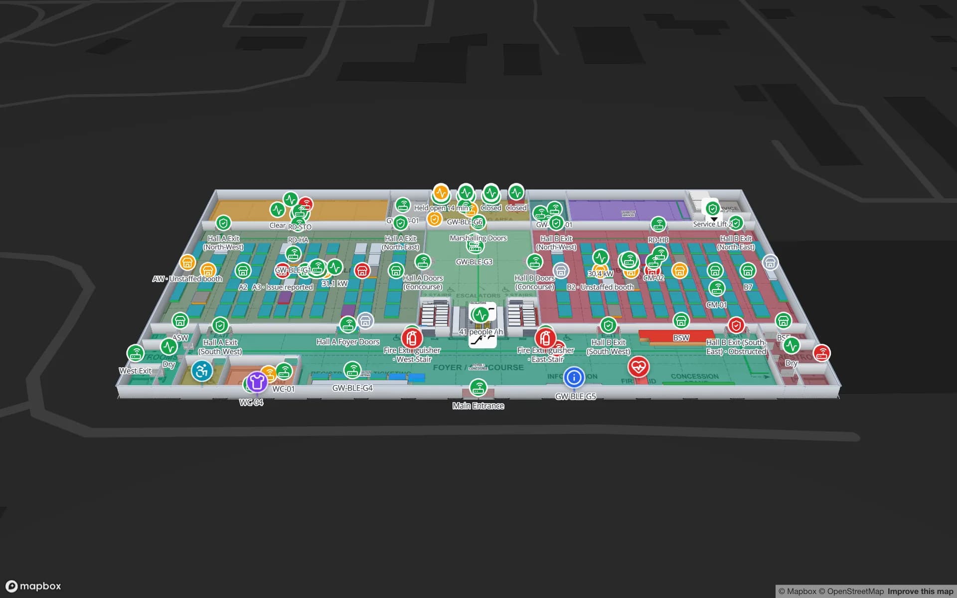
Lakeside Convention Center, a convention center demo, in the Spatial Map 3D viewer with live device markers
Lakeside Convention Center
Lakeside Convention Center, a two-floor demo venue: exhibition halls, session rooms, registration and loading docks with live occupancy.
Reports in the Lakeside convention demo
21
Floors in the Retail Mart demo, with escalators and lifts
3
App languages, including Arabic (right-to-left) and English
6
Free trial, up to 5 facilities
7 days

A capital growing as a destination

Oman Vision 2040 places tourism, events and services among the sectors to grow, and Muscat carries much of that: the passenger terminal at Muscat International Airport, the Oman Convention & Exhibition Centre nearby, the National Museum and other cultural venues, a growing number of hotels and resorts, malls across the capital area, and the government and office buildings that serve them all. Most are large, multi-level and visited by people who have never been inside before.

For the general picture of how floor plans become 3D maps, see our indoor mapping page. Below are the Muscat buildings we see most often, and what each one needs from a map.
Malls: visitors in front, operations behind

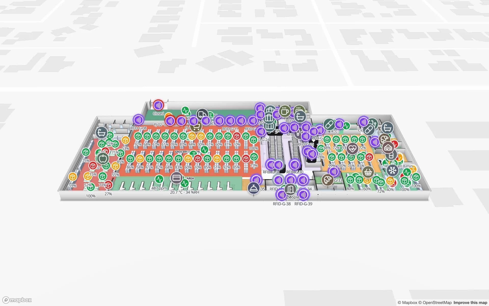
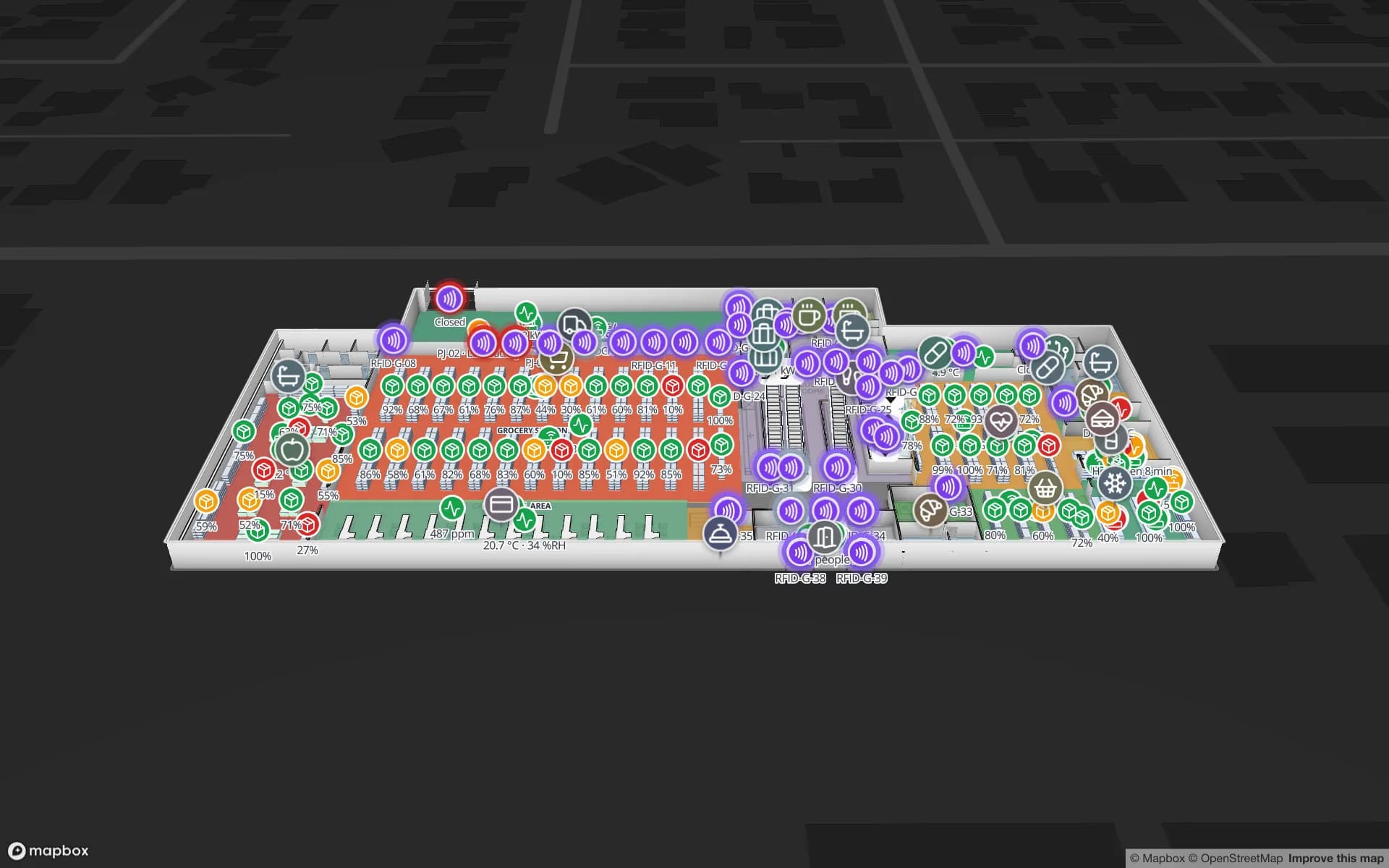
Muscat’s malls combine a hypermarket, fashion, family entertainment, cinemas and food courts over several levels and large car parks. Visitors want the shortest walk to a shop, a prayer room or the exit nearest their car. The mall team wants cleaning zones, maintenance jobs, footfall by entrance and the state of every tenant unit.

Both live in one facility. Your people-counting system posts footfall to a table that tints each zone, a maintenance table colours units with open jobs, and the visitors’ share link shows only the public layers. The Retail Mart demo shows the multi-level pattern: three floors around an escalator core and lifts.

The convention centre and the airport terminal

The Oman Convention & Exhibition Centre hosts exhibitions, conferences and official events in halls whose layout changes from one event to the next. A map that keeps halls, foyers, docks and services fixed and lets the events team draw each show’s stands, registration and session rooms on top gives every event the same reliable base. The Lakeside demo shows halls with live occupancy, booth bookings, badge scans and freight bookings at the docks.

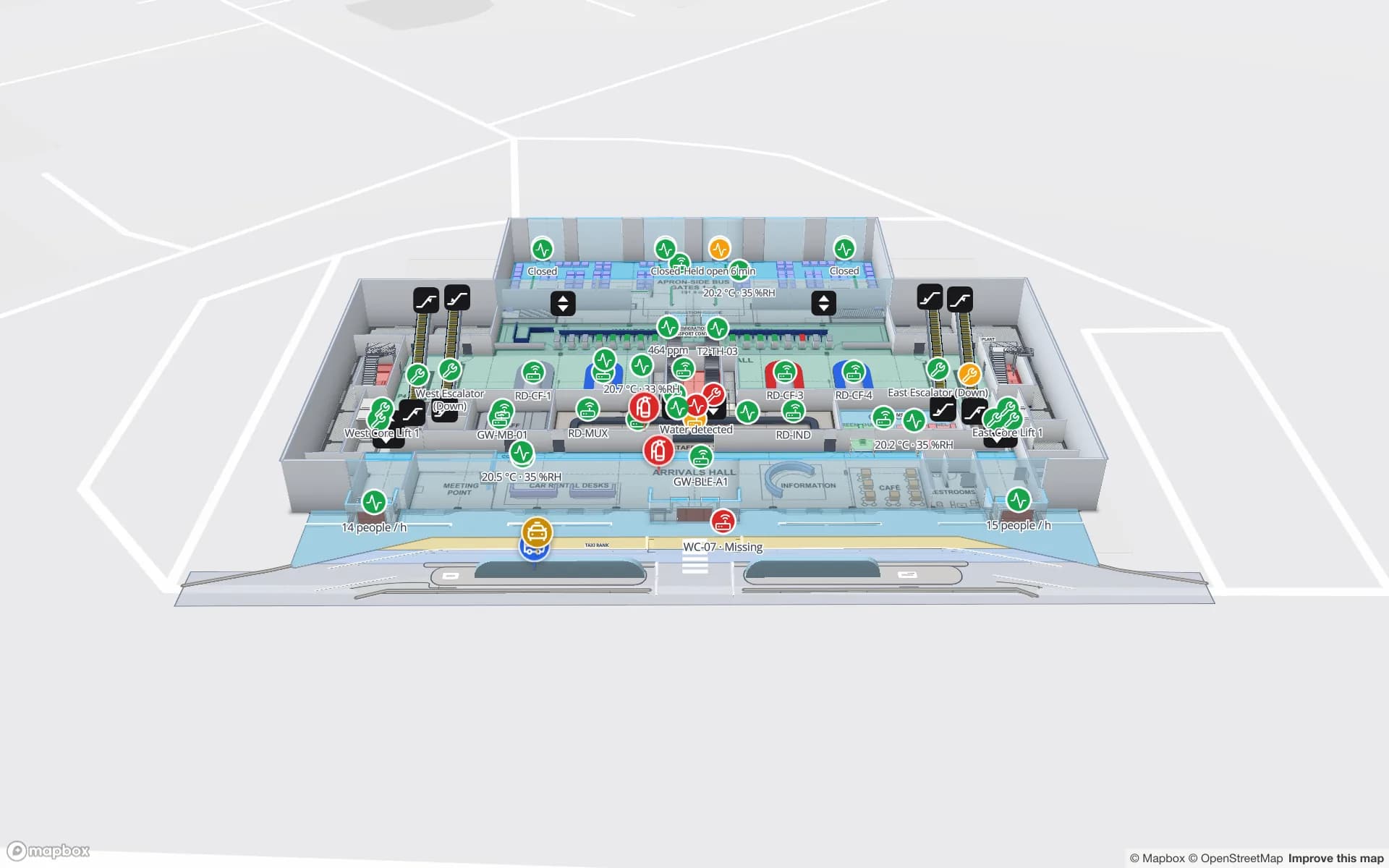
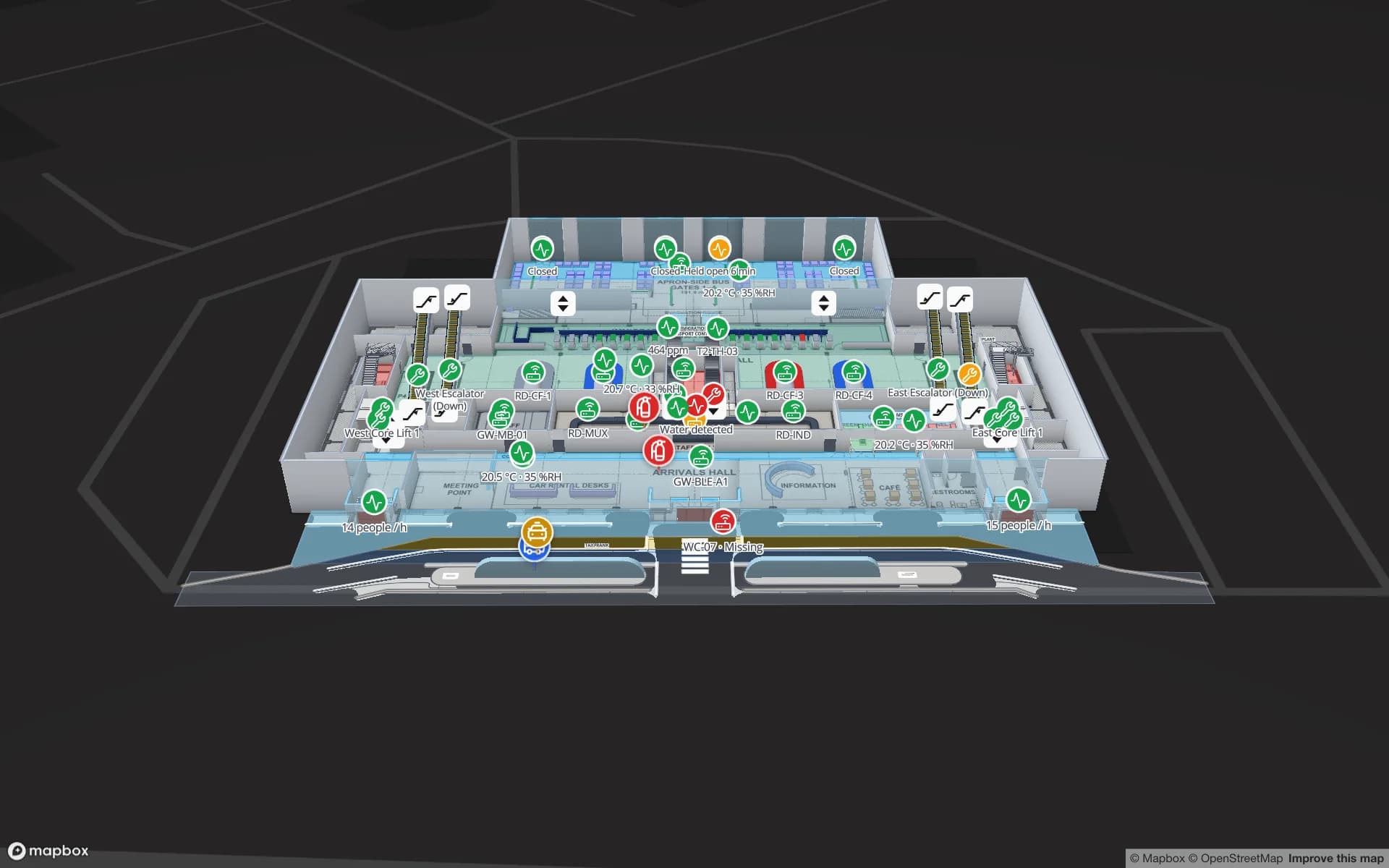
At Muscat International Airport, departures, arrivals, gates and baggage reclaim sit on different levels. The Silverbay demo is a two-floor terminal with check-in, security, immigration and gates, with crowding and queue throughput on top. Spatial Map is not connected to any airport’s systems; it shows what an operator builds from their own plans and data.

Museums, hotels and tourism venues

Museums in Muscat present Oman’s history and heritage across many galleries, often with strict climate requirements for the collection. The three-floor Production Museum demo shows galleries with live occupancy and climate readings, tagged objects and staff posts, while visitors see only the public layer.

Hotels and resorts have a different shape: guest floors, ballrooms, meeting rooms, spas and a large back-of-house. A map lets banquet and engineering teams see room set-ups and equipment, and lets conference guests find the right ballroom from a link. There is no hotel demo; Lakeside and Harborview show the same patterns of halls, meeting rooms and tagged equipment.

Government and office buildings

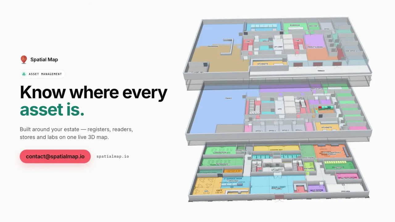
Ministries, authorities and corporate offices receive visitors who need one department on one floor. A map of each building — departments, service counters, meeting rooms, entrances and lifts — on a share link at reception answers that. The facilities team uses the same map for assets, meeting-room occupancy and work orders, as in the Harborview demo. Workspace roles (Owner, Admin, Editor, Viewer) keep internal layers away from public links, and each workspace is isolated; see our security page.

Bilingual wayfinding for visitors

Navigate builds a walking route around walls and through doors with turn-by-turn steps, in the viewer and on read-only share links. The share page follows the visitor’s browser language — Arabic phones get the right-to-left interface — and the names you give shops, halls, galleries or departments can carry Arabic and English side by side.

Routes stay on one floor: lifts, stairs and escalators are shown with wayfinding icons and the visitor changes level with the floor switcher. For a mall level, a convention hall or a ministry floor, that covers the walk most visitors make.

How Spatial Map does it

From floor plans to a map visitors can use

  1. 01

    Gather the plans

    One PDF or DWG per floor, or a PNG or JPG for a quick start, placed at real-world scale.

  2. 02

    Trace and name in two languages

    Draw units, halls, galleries, counters, doors, lifts and escalators with Arabic and English names.

  3. 03

    Add the live layers

    Footfall, occupancy, maintenance or booking tables bound to shapes with data links and style rules.

  4. 04

    Publish at the entrance

    A read-only share link with Navigate behind a QR code at the door or reception desk.

What Muscat operators map

Shopping malls

Levels, tenant units, footfall by entrance and a public visitor view.

Convention and exhibition centre

Fixed halls and docks with each event’s stands and session rooms on top.

Airport terminal

Departures, arrivals, gates and reclaim across levels with crowding and queues.

Museums and heritage venues

Galleries with climate, objects and staff, plus a bilingual visitor layer.

Hotels and resorts

Ballrooms, meeting rooms and back-of-house equipment for banquet and engineering teams.

Government and office buildings

Departments and counters for visitors, assets and work orders for facilities.

See it on real demo facilities

Fictional names, real floor plans, live sensors, RFID, BLE tags and gateways — open any of them in the browser.

All 13 demo facilities

Indoor mapping in Oman — questions we get

Yes. A share page follows the browser language of the visitor’s phone, so Arabic phones get a full right-to-left interface and English phones an English one. Shop, hall and department names are your own text and can be written in both languages.

No. Routes are calculated on one floor at a time, around walls and through doors. Lifts, stairs and escalators carry wayfinding icons, and visitors switch levels with the floor switcher.

Yes. Each share link shows only the floors and layers you choose, so visitors see shops and services while maintenance, footfall and security layers stay with your team. Links can expire, have a view cap and be revoked.

Yes. Floor-plan digitisation and data integration are offered as a fixed-price custom service, with a proposal within 3 business days. The team works remotely, in Arabic or English.

No. Spatial Map is sold online, with no local office or reseller. We work with operators in Muscat and across Oman by video call and through the contact form.

The same as everywhere, in US dollars: a 7-day free trial for up to 5 facilities, then Pro at $60 a month or $600 a year for up to 4 facilities. Larger portfolios are quoted as custom services.

Map your Muscat mall, venue or office in Arabic and English.

Start a free trial and open the Lakeside and Retail Mart demos, or send us your floor plans and we will scope the whole building.