Oman · Muscat, Sohar, Duqm and Salalah

Indoor mapping and RFID tracking in Muscat and across Oman

Oman’s logistics are spread along a long coastline: an industrial port in the north, a special economic zone in the centre, a transhipment hub in the south and the capital in between. Spatial Map puts the warehouses, cold stores, plants and venues at each of those places on one live 3D map per building — and all of them in one workspace — fed by your RFID readers and sensors, in Arabic or English.

No credit card. Runs in the browser. Pro is $60/month for up to 4 facilities. Book a demo

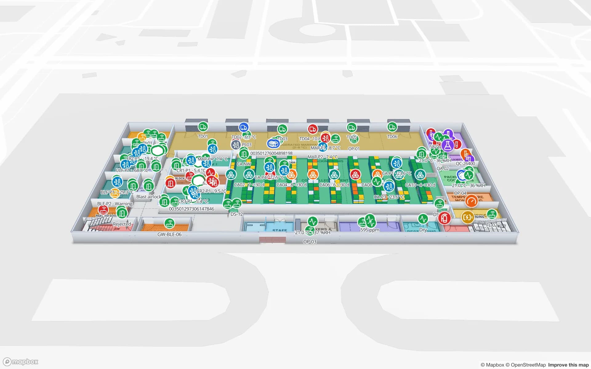
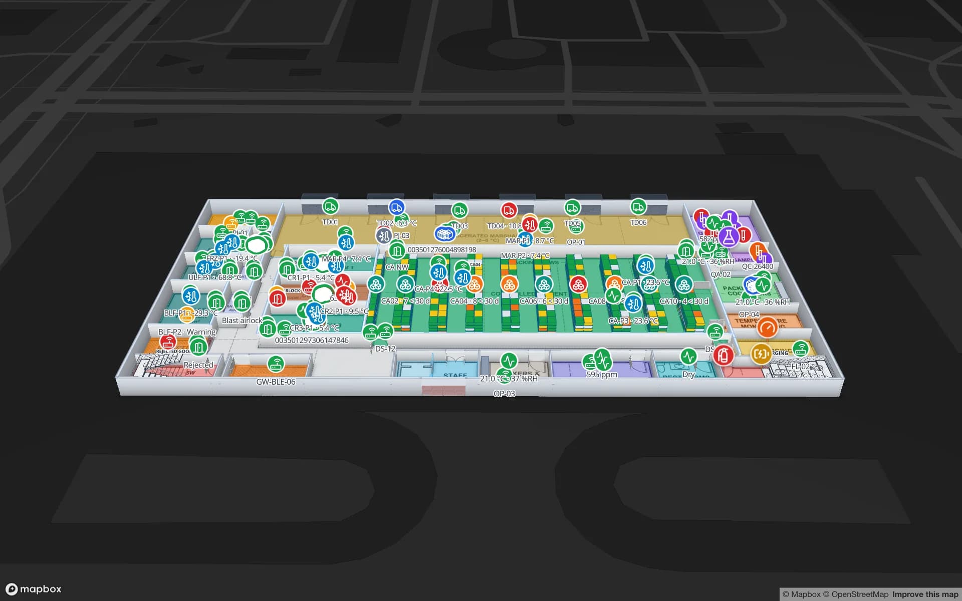
Polar Pharma — Cold Storage & QC Facility, a pharmaceutical cold store & qc lab demo, in the Spatial Map 3D viewer with live device markers
Polar Pharma — Cold Storage & QC Facility
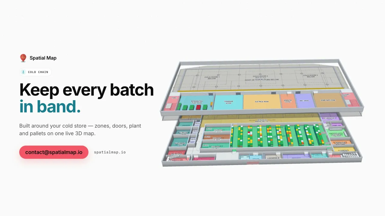
Polar Pharma, a demo cold store: chilled and frozen rooms tinted by live probe readings, cold-room doors, reefer docks and quarantined stock across 1,140 rack locations.
Rack locations in the Polar Pharma cold-store demo
1,140
Arabic interface with full right-to-left layout
العربية
Interface languages, each user picks their own
6
Free trial, up to 5 facilities
7 days

Oman Vision 2040 and a coast built for trade

Oman Vision 2040 sets out to diversify the economy away from oil and gas, and logistics, manufacturing, fisheries and tourism are among the sectors it leans on. Geography helps: much of the Omani coast faces the Arabian Sea and the Gulf of Oman, outside the Strait of Hormuz, and the country has spent years building ports and economic zones to make use of that position.

For operators the result is an estate that is far apart on the map. A distributor may run a warehouse near Muscat, a cold store in Sohar and a depot in Salalah. Because Spatial Map runs in the browser, each site is a facility in the same workspace and head office sees all of them without installing anything.
Sohar, Duqm, Salalah and Khazaen

Each of Oman’s main logistics locations has a different character, and the map you draw first changes with it:

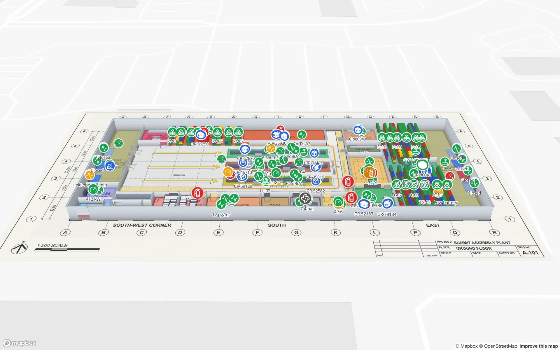
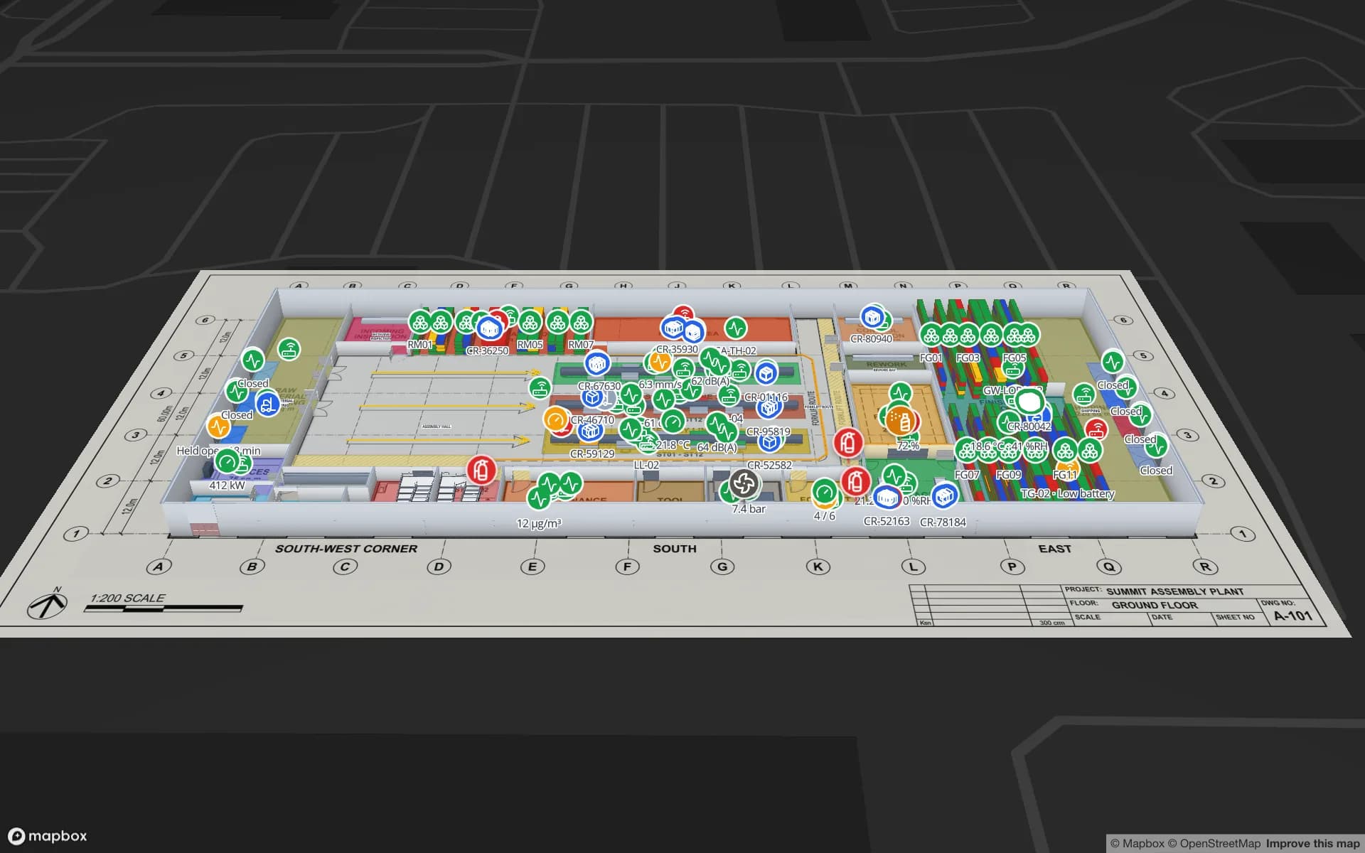
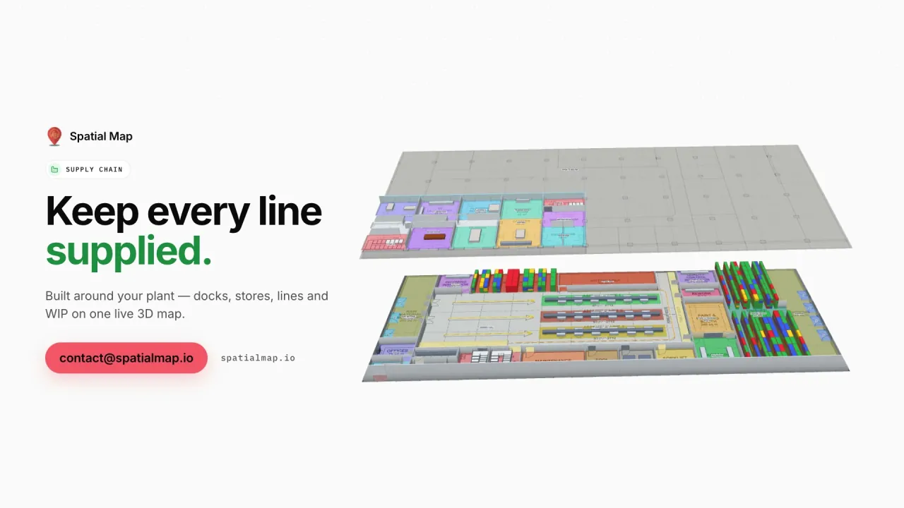
  • Port of Sohar and its freezone — a heavy-industry and logistics cluster in the north, with metals, petrochemicals and food processing. Plants and raw-material stores map like the Summit Assembly demo.
  • Duqm Special Economic Zone — a large zone on the Arabian Sea combining a port, industry and logistics, still growing. New buildings are the easiest to map well from their drawings.
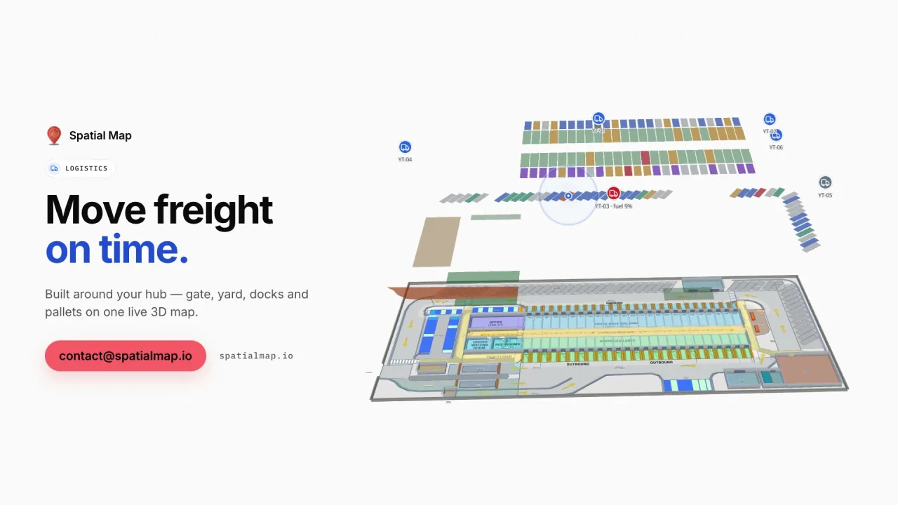
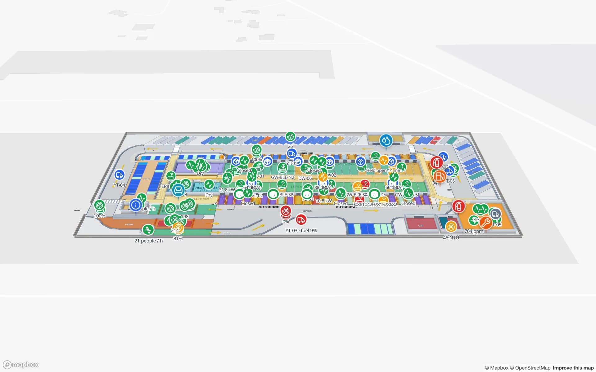
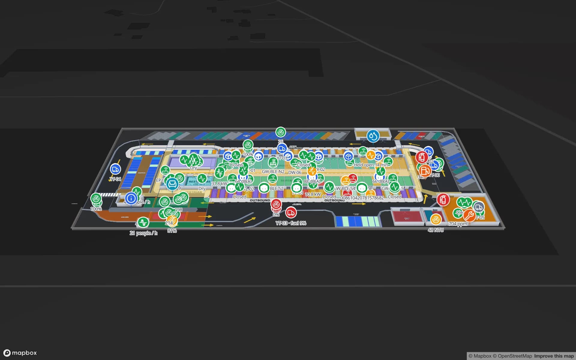
  • Port of Salalah — a major transhipment hub in the south. Port-side warehouses and cross-docks map like Eastport, with dock doors, yard slots and RFID pallets.
  • Khazaen Economic City — a logistics and industrial city within reach of Muscat with a dry port, where container stock and distribution warehouses suit a rack-level map like Crestline.

Fisheries and the food cold chain

Fishing is one of Oman’s oldest industries and a growing export, and the catch has to move from landing site to processing plant, blast freezer, cold store and reefer container without breaking the chain. Imported chilled and frozen food follows the opposite route into the country’s supermarkets.

In Spatial Map every cold room, freezer and controlled-ambient zone is coloured by the live reading from your probes, doors show their state, reefer docks show what is loading, and stock on hold is marked where it stands. Every change is kept in the row history, and the History player replays a table’s changes for data links set to "Historical movement", so a QA review can start from the map. Spatial Map does not raise alarms and is not your QA record.

Muscat: the airport, the convention centre, malls and hotels

Muscat International Airport’s newer passenger terminal, the Oman Convention & Exhibition Centre and the capital’s malls and hotels are the large public buildings of a country that is growing its tourism. They share the same needs: room and hall occupancy, staff and equipment locations, and clear walking directions for visitors who have never been there before.

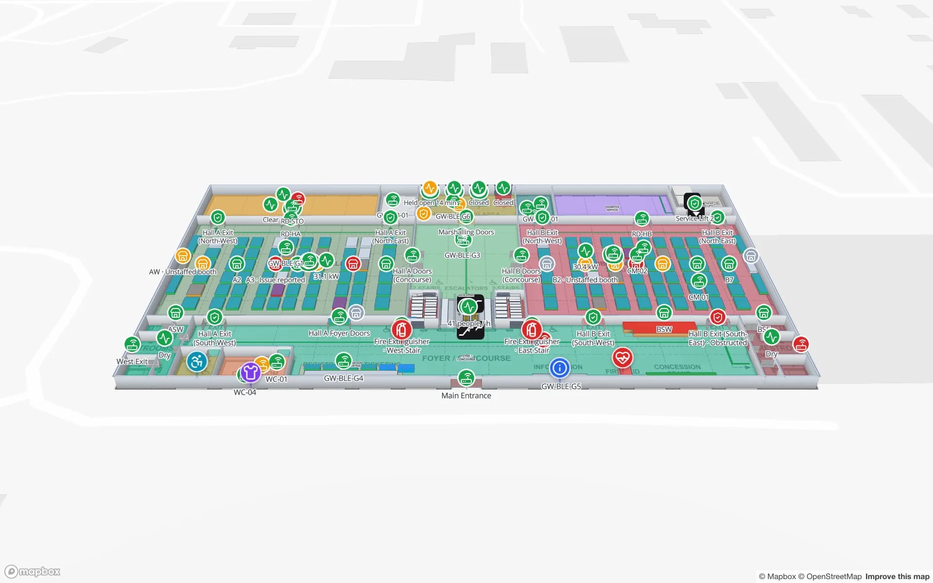
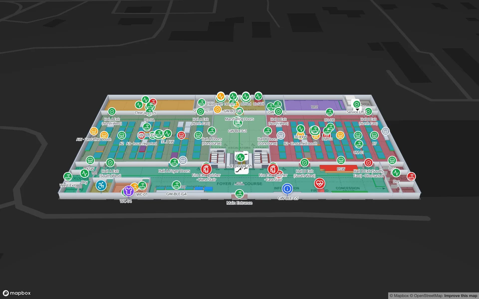
The Lakeside Convention Center demo shows halls, booths, session rooms and freight docks; Silverbay Airport shows a two-level terminal; Retail Mart shows a three-floor store with escalators, lifts and RFID at the exits. The Navigate button builds turn-by-turn routes around walls and through doors on each floor.

Arabic first, English alongside — and working with us

The Spatial Map interface ships in Arabic with a complete right-to-left layout, plus English, French, German, Spanish and Chinese, and each user picks their own. Room names, rack codes and report titles are your own text, so Arabic labels appear on the map and in exported PDF and Excel reports exactly as typed.

Spatial Map is sold online and our team works with Omani customers remotely. Start the free trial, or use the contact form to send a floor plan and a sample of your sensor or stock data; multi-site projects are scoped as a fixed-price custom service, in Arabic or English.

How Spatial Map does it

One workflow from Sohar to Salalah

  1. 01

    Import each building

    PDF, DWG (AutoCAD R2004–R2018) or image floor plans of every site, placed at real-world scale.

  2. 02

    Draw rooms and racks

    Cold rooms, freezers, racks with bin locations, docks, doors, stairs and lifts.

  3. 03

    Connect probes and stock

    Sensor readings, RFID reads and ERP stock via the table write API, REST polling or file uploads.

  4. 04

    See the whole estate

    Facilities grouped into solutions, history playback, and reports exported to PDF or Excel.

Where Omani teams start

Fish and food cold stores

Cold rooms, blast freezers and reefer docks by live temperature, with held stock.

Port-side warehouses in Salalah and Sohar

Dock doors, yard slots, gate and weighbridge with RFID pallets.

Freezone and SEZ plants

Lines, WIP, raw-material and finished-goods racks and docks.

Dry-port distribution near Muscat

Rack-level stock, packing and staging lanes for inland distribution.

Convention and exhibition halls

Hall occupancy, booths, session rooms and crates from dock to stand.

Malls and multi-floor stores

RFID at exits and escalators, shelf stock and fridge sensors per floor.

See it on real demo facilities

Fictional names, real floor plans, live sensors, RFID, BLE tags and gateways — open any of them in the browser.

All 13 demo facilities

Questions from teams in Oman

No. Spatial Map is sold online and our team works with customers in Oman remotely, by video call and through the contact form. Nothing is installed at your sites.

No. Spatial Map runs in the browser, so a site in Salalah and one near Muscat are just two facilities in the same workspace. Group them into named solutions and control access with Owner, Admin, Editor and Viewer roles.

No. Your probes and their gateway or monitoring software take the readings; Spatial Map shows them on the floor plan through the table write API, REST polling or file uploads, and keeps the history. It does not send alarms.

Yes. Arabic is one of six interface languages, with a full right-to-left layout. Each user chooses their own language, and your own room and rack names can be in Arabic.

Prices are set in US dollars and are the same worldwide: a 7-day free trial for up to 5 facilities, then Pro at $60 a month or $600 a year for up to 4 facilities. Larger estates are quoted as custom services.

Map your first Omani cold store or warehouse.

Start the free trial in Arabic or English, or send us a floor plan and a sample of your sensor data and we will show it back to you on a live map.