Bahrain · Indoor mapping

Indoor mapping in Bahrain for event venues, the terminal and offices

Bahrain hosts events much bigger than the kingdom itself: trade shows in Sakhir, a Grand Prix weekend, conferences and exhibitions that fill a building with people who have never been inside it. Spatial Map turns the venue’s floor plans into a multi-floor 3D map that the organiser runs with live data, and that visitors open from a link on their phone — in Arabic or English, with nothing to install.

No credit card. Runs in the browser. Pro is $60/month for up to 4 facilities. Book a demo

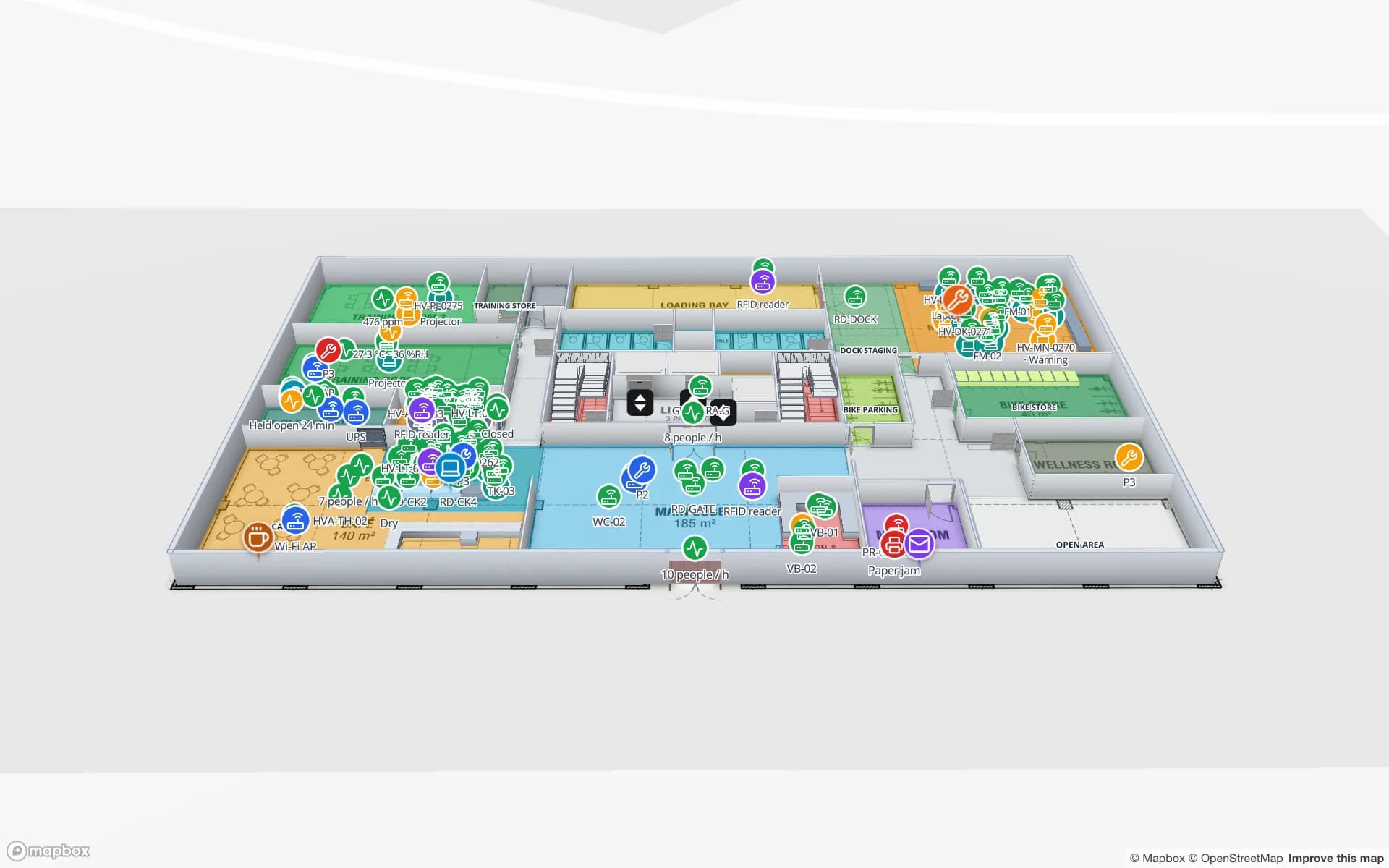
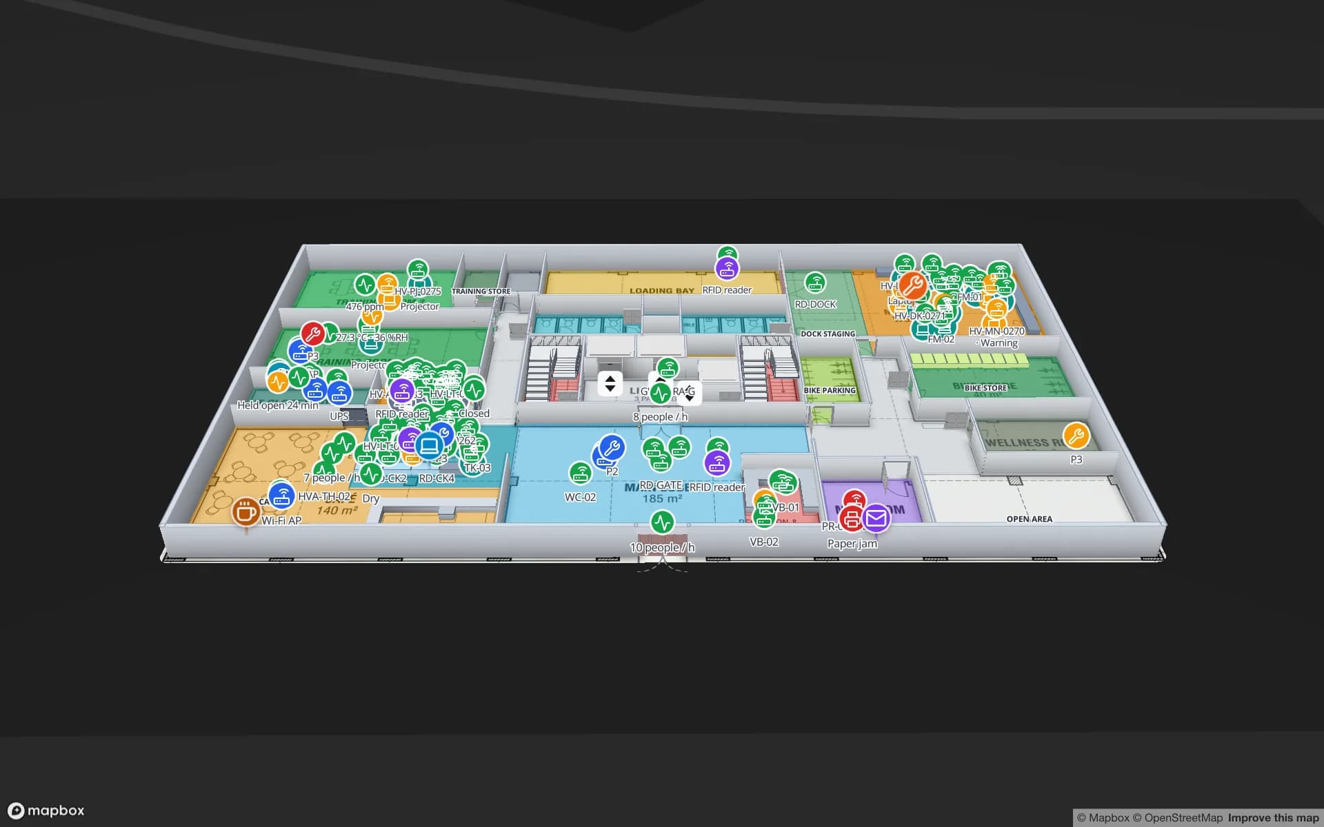
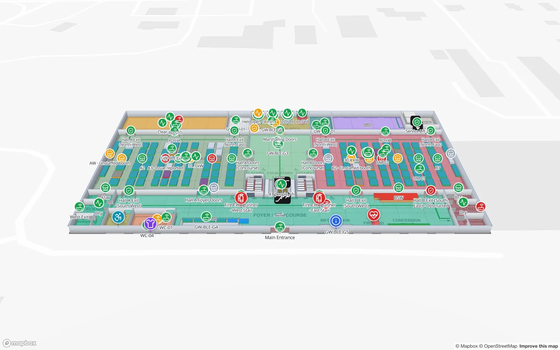
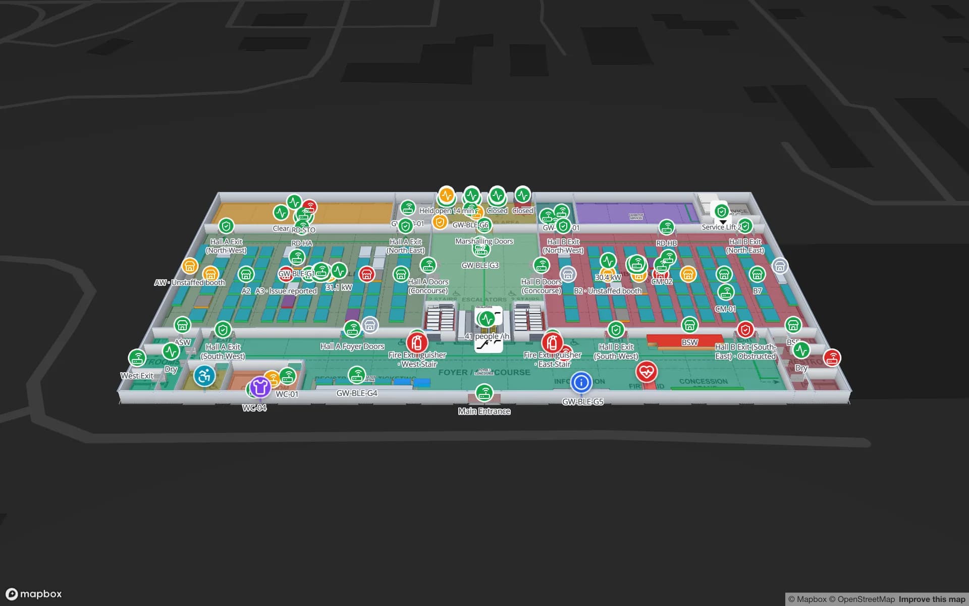
Lakeside Convention Center, a convention center demo, in the Spatial Map 3D viewer with live device markers
Lakeside Convention Center
Lakeside Convention Center, a two-floor demo venue: exhibition halls with booth blocks, session rooms, registration and loading docks, with live occupancy.
Reports in the Lakeside convention demo
21
Office floors in the Harborview campus demo
3
Apps for visitors or exhibitors to install
0
Arabic interface with full right-to-left layout
العربية

Venues that change every week

Exhibition World Bahrain in Sakhir is the kingdom’s largest exhibition and convention venue, and like every exhibition centre it is a different building each week: the halls, docks and registration stay put, while the booth layout, the session rooms and the visitor flow change with every show. A static PDF map is out of date before the doors open.

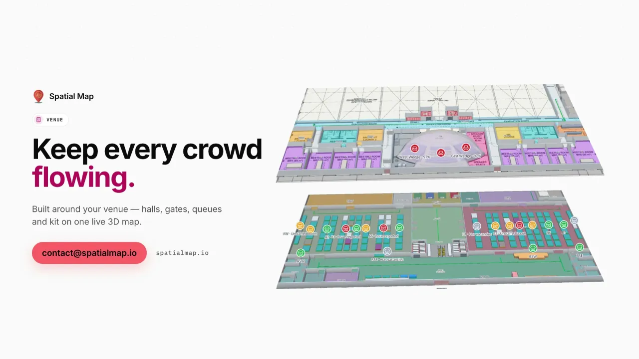
In Spatial Map the permanent building is drawn once — halls, docks, registration, prayer rooms, restrooms, lifts — and each event adds its own booth blocks and room bookings on top. Badge scans, hall occupancy and crate reads from the dock to the booth bind to the current layout, as in the Lakeside demo. For how floor plans become a 3D map in general, see indoor mapping.
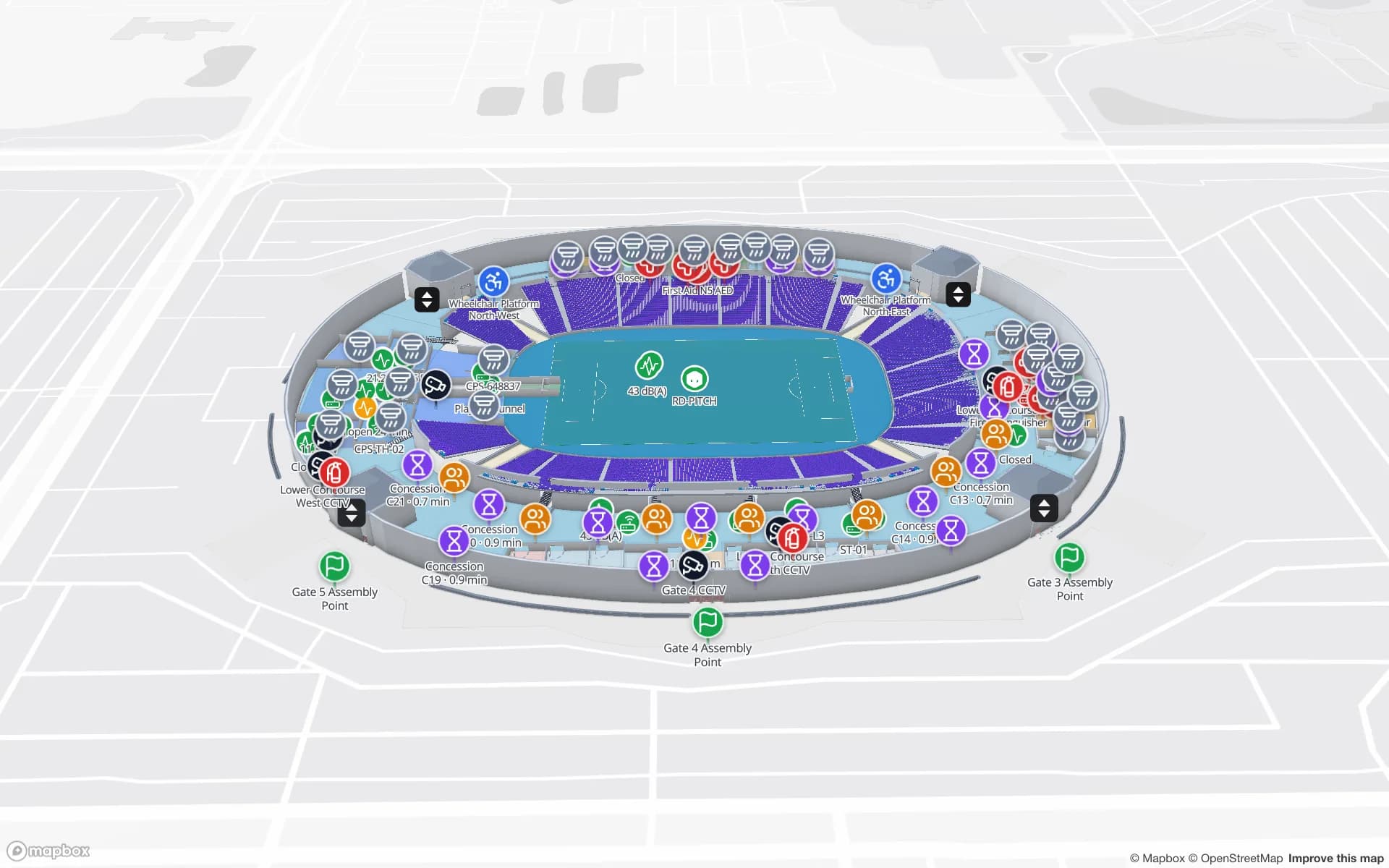
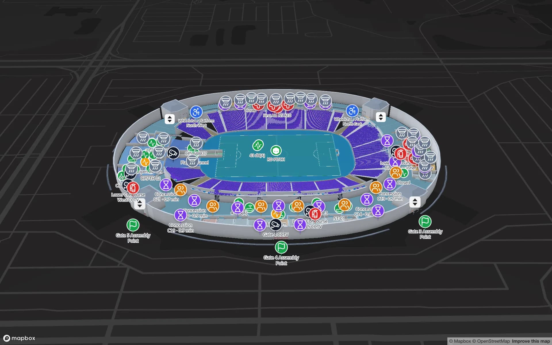
A race circuit is an event venue too

Bahrain International Circuit is best known for its Formula 1 weekend, but its grandstands, VIP buildings and paddock host concerts, track days and other events through the year. Operationally it behaves like a stadium spread over a larger site: gates, grandstands, VIP suites, food outlets and crews that need to be in the right place at the right time.

Draw the buildings floor by floor and the outdoor areas — gates, grandstands, car parks — as zones on the site plan. Turnstile scans, crowd counters and food-and-beverage sales then colour those zones live, the way the Crown Park Stadium demo does for concourses and stands.

The airport terminal

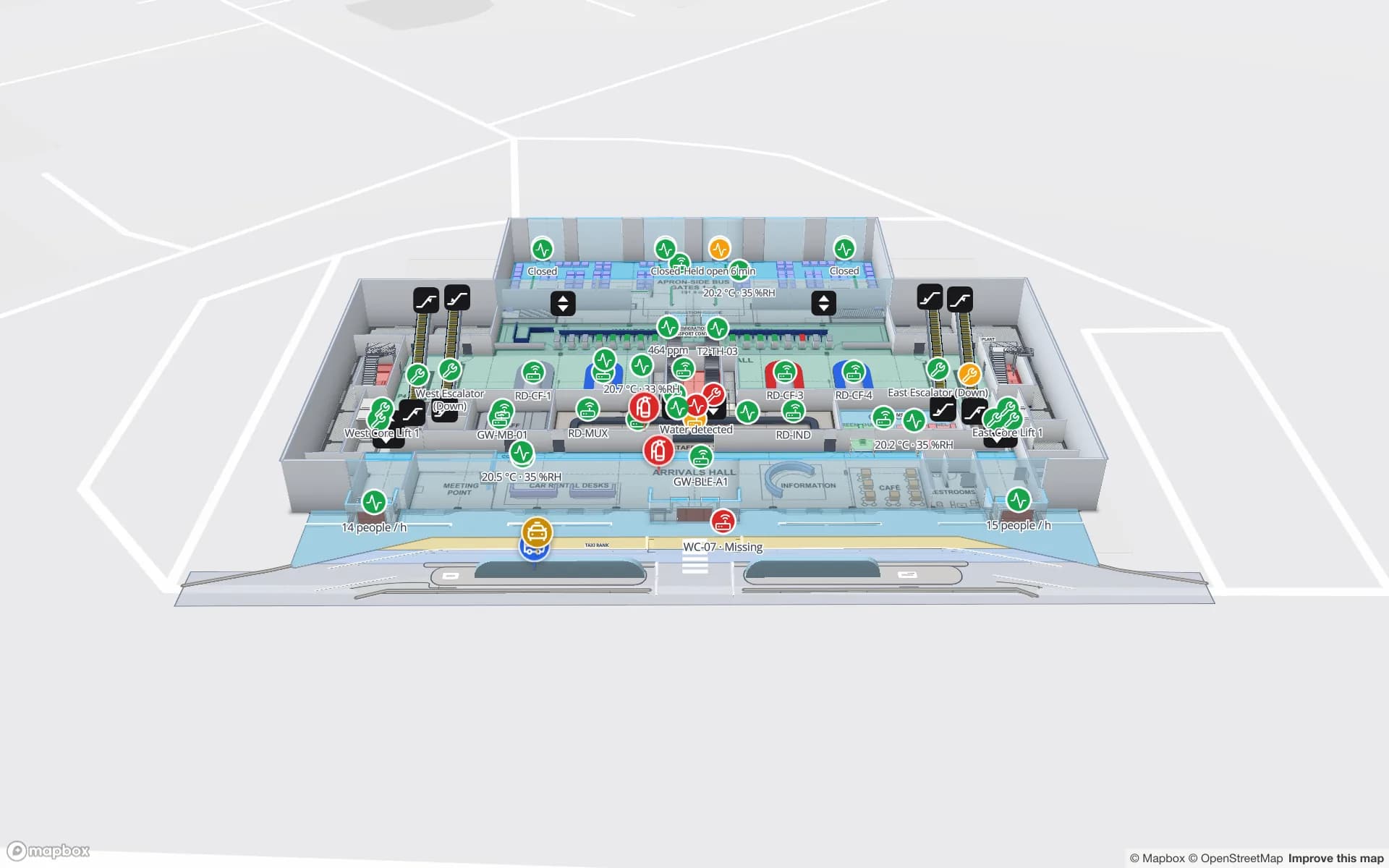
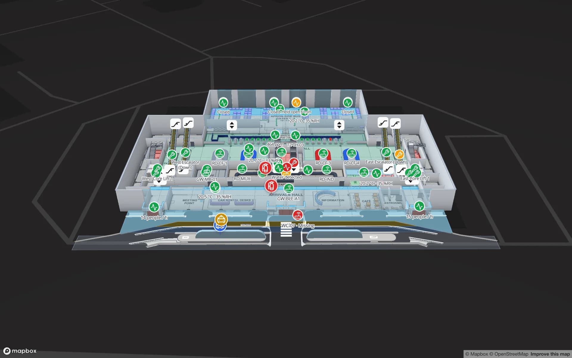
Bahrain International Airport moved into a new passenger terminal in 2021, with check-in, security, gates and reclaim spread over several levels. For the teams who run it, the building is drawn once and the live layers sit on top: queue throughput at security, crowding by zone, loan wheelchairs and staff by area. The Silverbay Terminal 2 demo shows a terminal built exactly that way, with 21 reports. Spatial Map is an independent product and not part of the airport’s own systems.

Malls and Manama’s financial-sector offices

Malls in Seef and across Manama are multi-level buildings with car-park lifts, prayer rooms and family facilities that visitors look for first. The operations team wants something else: tenant units coloured by status, service corridors and loading bays. Both views live in one facility; the visitor share link shows only the public layers.

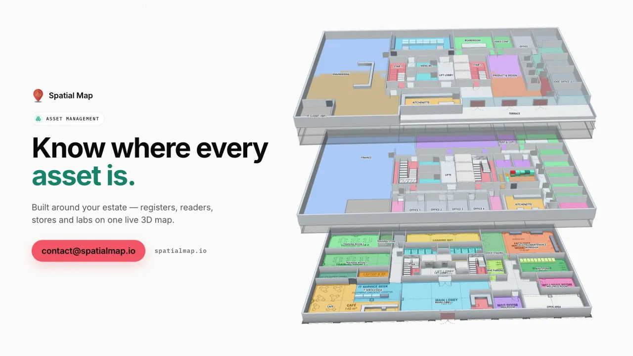
Manama is one of the Gulf’s long-established financial centres, and its office towers run on meeting rooms, shared equipment and visitors who need to reach the right floor. The Harborview demo shows three office floors with departments, meeting rooms, tagged assets and equipment check-in and check-out — the base a facilities team builds on.

Universities and bilingual wayfinding

Every September, university campuses fill with students who cannot find the lecture hall. A share link printed as a QR code at each entrance, with Navigate turned on, gives turn-by-turn walking routes around walls and through doors. The share page follows the phone’s language, so an Arabic phone gets a right-to-left interface, and room names are your own text — “Lecture Hall 2 · قاعة المحاضرات 2” works as written.

Routes are calculated on one floor at a time; lifts, stairs and escalators carry wayfinding icons and visitors switch levels with the floor switcher. The Westbrook University demo shows labs, classrooms and instruments on two floors.

How Spatial Map does it

From venue plans to a live event map

  1. 01

    Import the building

    One DWG (AutoCAD R2004–R2018) or PDF per level, placed at real-world scale.

  2. 02

    Draw what stays

    Halls, gates, docks, prayer rooms, lifts and escalators, named in Arabic, English or both.

  3. 03

    Lay out the event

    Add booth blocks or VIP areas and bind occupancy, badge-scan and crate tables to them.

  4. 04

    Share per event

    Publish a read-only link with Navigate for each show, set to expire when it ends.

What Bahraini operators map

Exhibitions and conferences

Permanent halls, booth blocks per show, live occupancy and a share link per event.

Circuit and stadium events

Gates, grandstands and VIP areas coloured by scans and crowd counts.

Airport terminal

Check-in, security, gates and reclaim with queues and crowding across levels.

Malls

Levels, tenant units by status, service routes and a public visitor view.

Financial-sector offices

Departments, meeting rooms and tagged equipment on every floor.

University campuses

Lecture halls and labs with instruments, plus wayfinding for new students.

See it on real demo facilities

Fictional names, real floor plans, live sensors, RFID, BLE tags and gateways — open any of them in the browser.

All 13 demo facilities

Indoor mapping in Bahrain — questions we get

Yes. Keep the halls and services as permanent shapes and update the booth blocks per event. Each show gets its own read-only share link with the layers you choose, an expiry date and an optional view cap.

Yes, with Navigate on a share link: a walking route around walls and through doors, step by step. Routes stay on one floor; lifts, stairs and escalators are marked so visitors can switch levels with the floor switcher.

Yes. Draw them as zones on the site plan alongside the buildings, as the Eastport demo does with its yard and gate lanes, and colour them from your scan or crowd-count tables.

Each visitor sees the interface in their browser’s language, with Arabic fully right-to-left. Hall, gate and room names are your own text, so you can write them in both languages.

No. Spatial Map is sold online, and our team works with venue and facilities teams remotely, by video call or through the contact form, in English or Arabic.

The same worldwide, in US dollars: a 7-day free trial for up to 5 facilities, then Pro at $60 a month or $600 a year for up to 4 facilities. Mapping a whole venue for you is quoted as a fixed-price custom service.

Map your venue before the next show opens.

Start a free trial and open the Lakeside and Crown Park demos, or send us your hall plans through the contact form and we will scope the building.