Bahrain · Manama, Hidd and Sakhir

Indoor mapping and RFID tracking for Bahrain’s logistics, events and industry

Bahrain is small, but a lot passes through it: containers at Hidd, trucks heading over the causeway to Saudi Arabia, air freight, race weekends and trade shows. Spatial Map gives each of those operations a live 3D map of its building or yard — dock doors, pallets, halls, lines and equipment — fed by the RFID readers, gateways and systems you already run.

No credit card. Runs in the browser. Pro is $60/month for up to 4 facilities. Book a demo

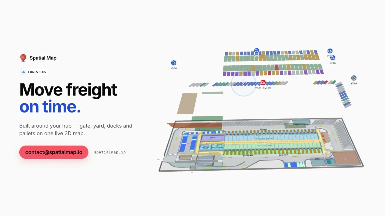
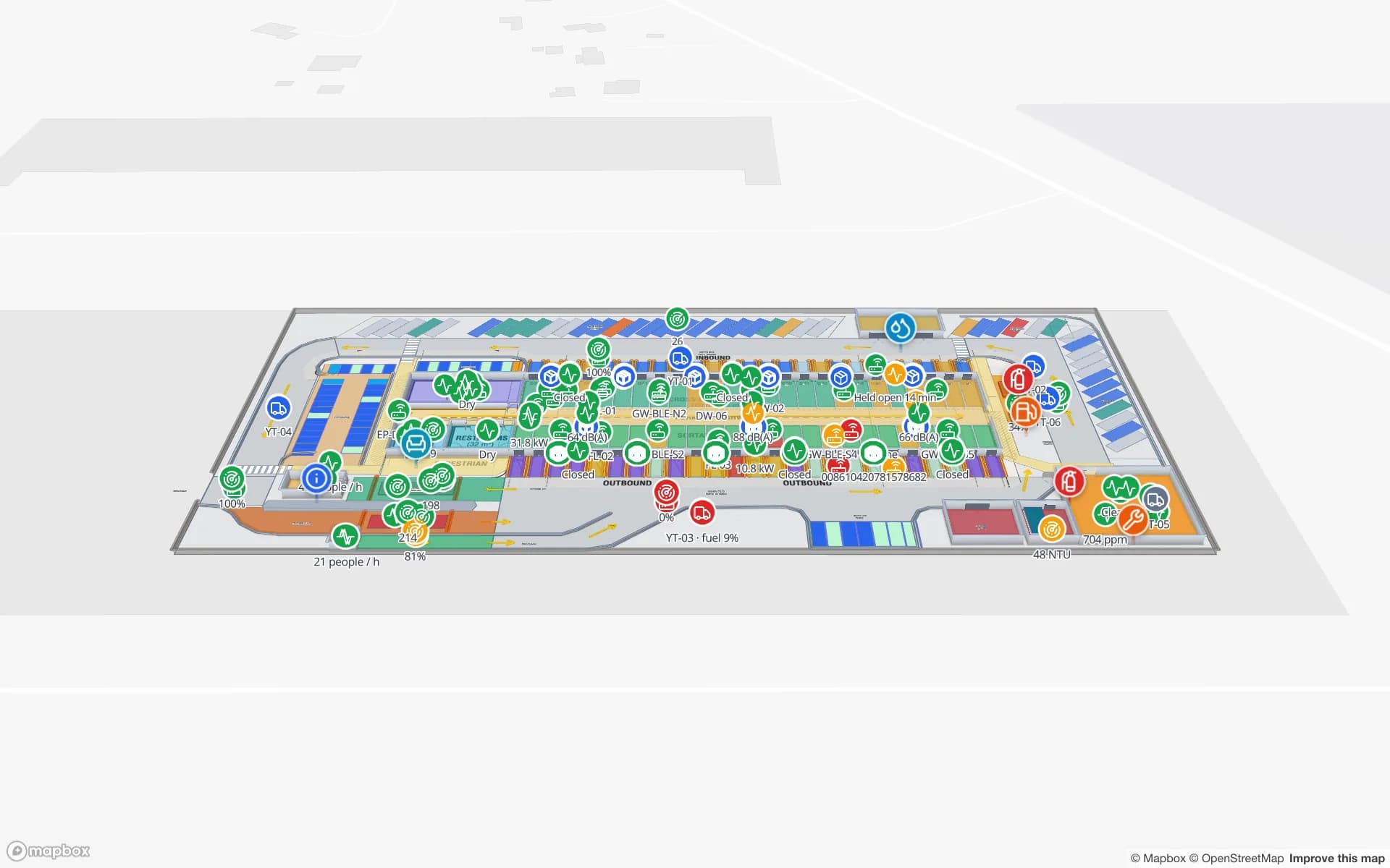
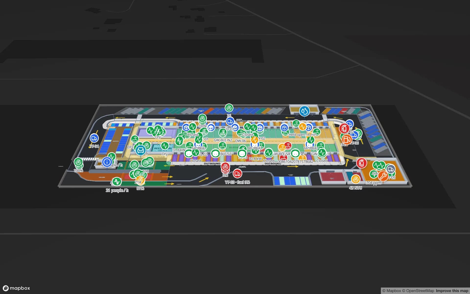
Eastport Cross-Dock Freight Hub, a cross-dock & trailer yard demo, in the Spatial Map 3D viewer with live device markers
Eastport Cross-Dock Freight Hub
Eastport Cross-Dock, a demo freight hub: trailers in 44 yard slots, gate and weighbridge transactions, and 1,180 RFID pallets crossing from inbound to outbound doors.
Dock doors in the Eastport cross-dock demo
50
RFID-tagged pallets in that demo
1,180
Arabic interface with full right-to-left layout
العربية
Software to install — runs in the browser
0

Khalifa Bin Salman Port and the Bahrain Logistics Zone

Khalifa Bin Salman Port at Hidd is Bahrain’s deep-water container port, and the Bahrain Logistics Zone next to it is set aside for warehousing, distribution and re-export. Because the port and Bahrain International Airport are only a short drive apart, sea-air transfers — goods arriving by ship and leaving by air, or the reverse — are part of the pitch.

Those flows reward a live picture of the warehouse. The Crestline Fulfillment demo shows 2,204 rack locations coloured from inventory with staging lanes and packing; the Eastport demo shows dock doors, yard slots and RFID pallets. Your WMS or RFID middleware posts rows to a table, or Spatial Map polls its REST endpoint.

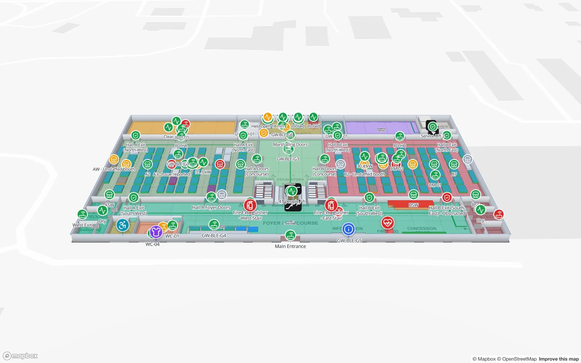
The airport side is growing too: Bahrain International Airport opened a new passenger terminal in recent years, and air cargo shares the same campus. A terminal maps like the Silverbay Airport demo — check-in, security, gates and reclaim on two levels, with RFID bag tags and BLE-tagged equipment shown where they were last seen.
Across the King Fahd Causeway

The King Fahd Causeway links Bahrain to Saudi Arabia’s Eastern Province, and a steady stream of trucks crosses it every day. Many Bahrain-based warehouses serve customers on the Saudi side, so the yard, the gate and the timing of each trailer matter as much as what is on the racks.

In Spatial Map the yard is part of the facility: trailers in slots, gate and weighbridge transactions, dock doors with their current turn, and yard tractors as live markers. A warehouse in Bahrain and one in Dammam can sit in the same workspace, grouped into one solution — see Saudi Arabia for the other side of the bridge.

Exhibition World Bahrain and the International Circuit

Exhibition World Bahrain in Sakhir is one of the region’s newest large exhibition and convention venues, and Bahrain International Circuit nearby hosts the Formula 1 Bahrain Grand Prix and other motorsport and entertainment events. Both bring short, intense build-ups: freight to the right hall, booths and VIP lounges fitted out, gates and grandstands filling on the day.

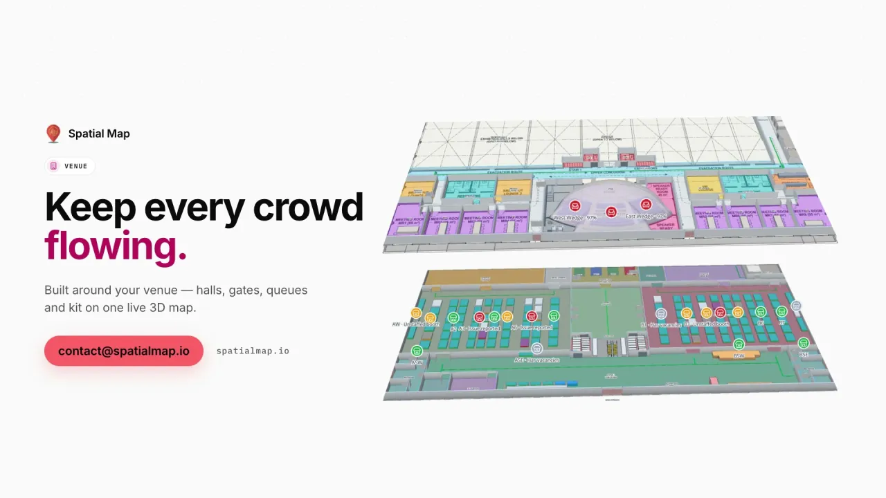
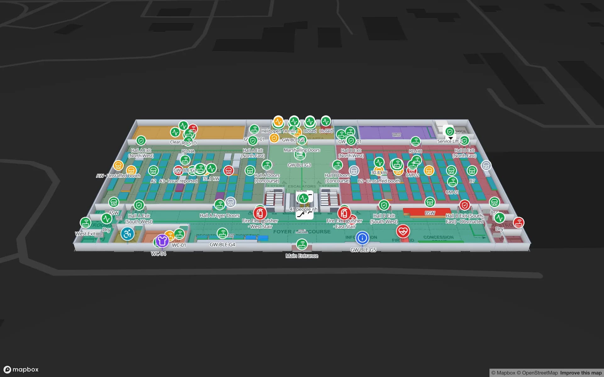
The Lakeside Convention Center demo shows halls with booth blocks, session rooms over capacity, badge scans and crates moving from dock to stand. Organisers can hand exhibitors and contractors a read-only share link with turn-by-turn walking routes on each floor, limited to the layers they need.

Aluminium and downstream manufacturing

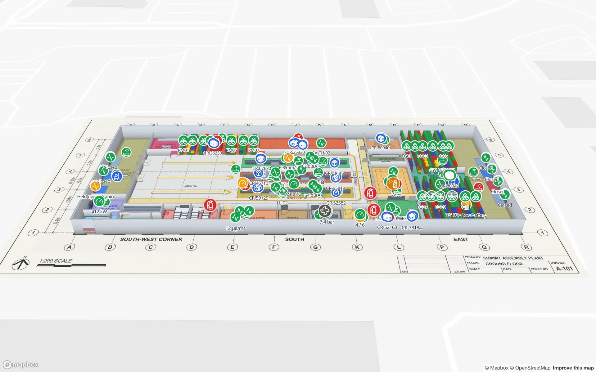
Bahrain is home to one of the world’s largest aluminium smelters, and a cluster of downstream manufacturers turns that metal into cables, extrusions, rolled sheet and other products. Plant maps look different from warehouse maps: lines and workstations, work in progress, raw-material and finished-goods racks, and the docks in between.

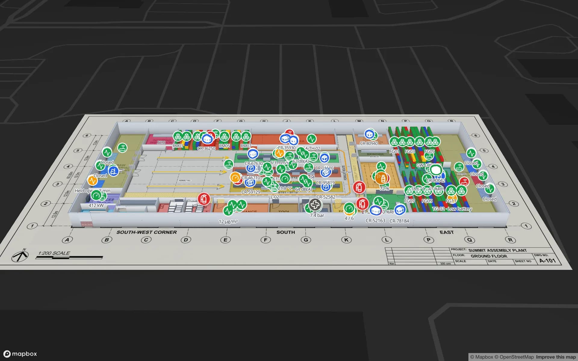
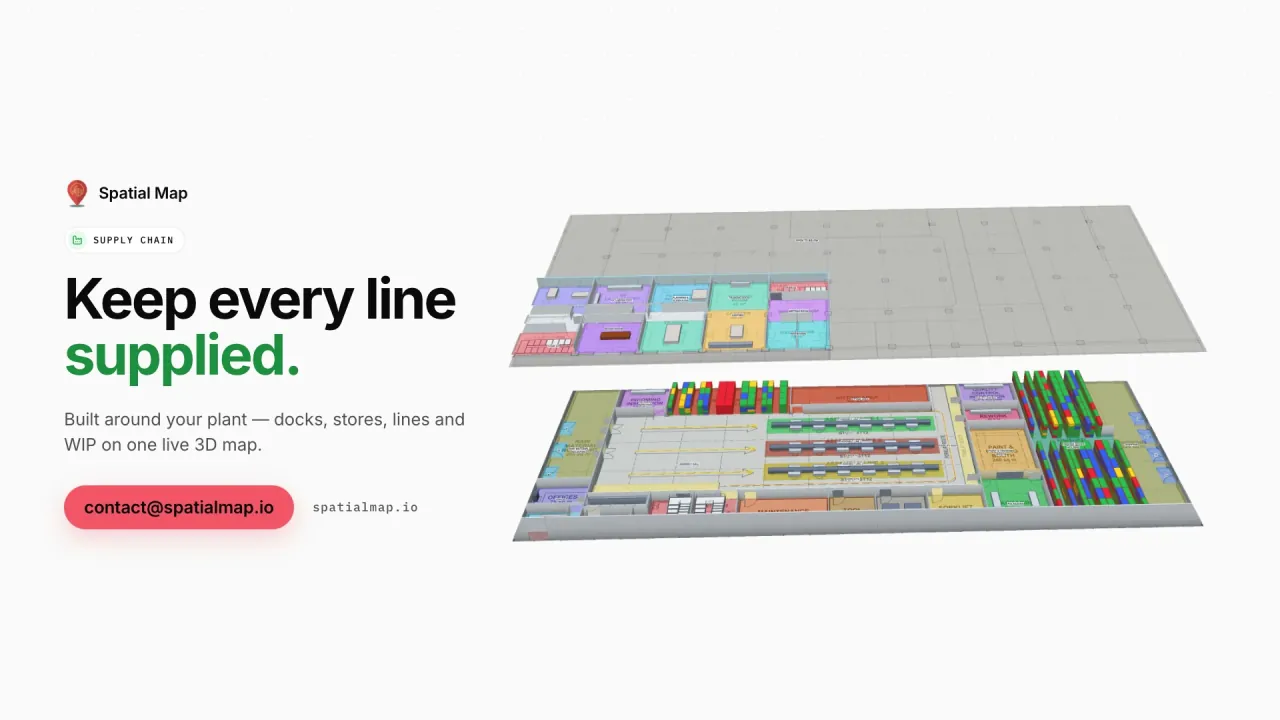
The Summit Assembly demo shows lines with output and andon status, WIP carriers read between stations and 867 rack locations. Your MES or ERP posts rows to a table; the plant map colours lines by status and racks by stock.

Manama offices, Economic Vision 2030 and working with us

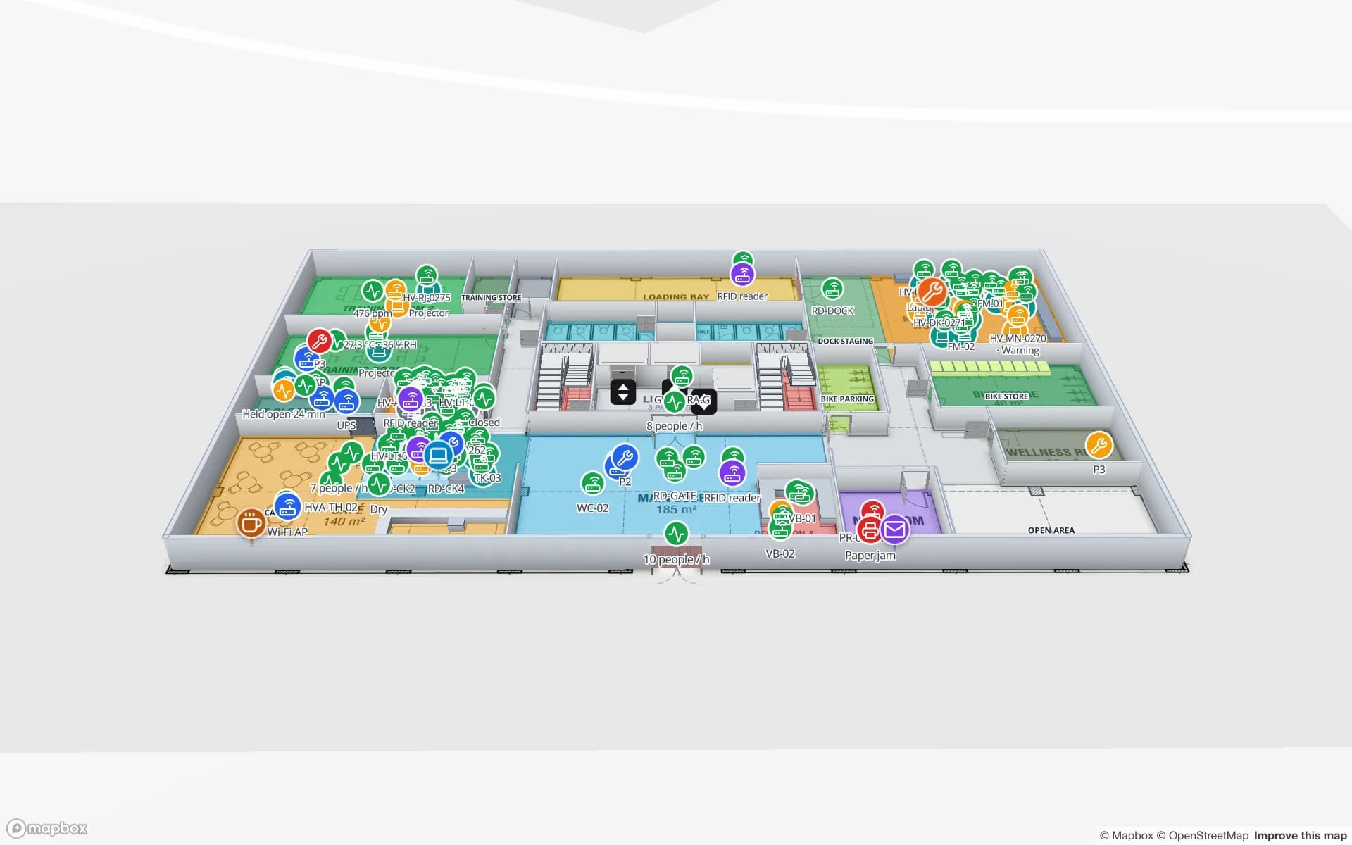
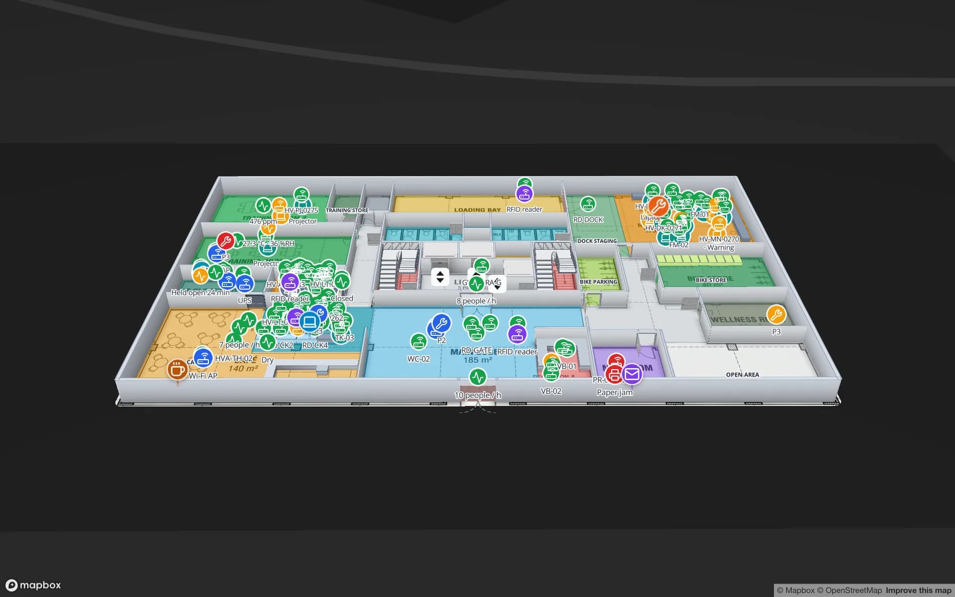
Manama is a regional financial centre, and banks, insurers and service firms run multi-floor offices with equipment to track, meeting rooms to manage and assets to audit. The Harborview Campus demo shows an asset register by floor, equipment checkout, stores and spares and work orders on one map.

Bahrain Economic Vision 2030 set the course for a more diversified economy, with logistics, manufacturing and tourism among the sectors it names. Spatial Map is sold online and works the same way for a single warehouse or an estate: start the free trial, or send a plan through the contact form; larger projects are scoped as a fixed-price custom service in English or Arabic.

How Spatial Map does it

How a Bahrain site goes live

  1. 01

    Place the plan

    Upload the warehouse, hall or plant drawing as PDF or DWG (AutoCAD R2004–R2018) and set it to real scale.

  2. 02

    Draw the yard too

    Racks, dock doors, yard slots, gates, halls, lines, stairs and lifts.

  3. 03

    Connect the systems

    WMS stock, RFID reads, gate transactions and sensor readings via the write API, REST polling or files.

  4. 04

    Share across the bridge

    Live map, reports in PDF or Excel, and read-only links for clients, exhibitors and head office.

What Bahrain teams use it for

Logistics-zone 3PL warehouses

Rack-level stock per client, staging lanes and packing on one map.

Causeway cross-docks and yards

Trailers in slots, gate and weighbridge, dock doors and RFID pallets.

Exhibition halls

Booths, session rooms, badge scans and crates from dock to stand.

Downstream metal plants

Lines, WIP carriers, raw-material and finished-goods racks.

Offices in Manama

Asset register, equipment checkout, meeting rooms and work orders by floor.

Airport terminal operations

Queues, gates, bag tags and equipment across a two-level terminal.

See it on real demo facilities

Fictional names, real floor plans, live sensors, RFID, BLE tags and gateways — open any of them in the browser.

All 13 demo facilities

Questions from teams in Bahrain

No. Spatial Map is sold online and our team works with customers in Bahrain remotely, by video call and through the contact form. The app runs in the browser, so there is nothing to install on site.

Yes. A workspace can hold facilities in any country; group them into a named solution and give each user the role they need — Owner, Admin, Editor or Viewer.

No. Your RFID middleware or reader software does the reading and posts rows to a table through the write API, or exposes a REST endpoint that Spatial Map polls. That keeps the hardware choice yours.

Yes. A read-only share link shows the floors and layers you choose, with an expiry date and a view cap, and the Navigate button works on it for walking routes on each floor.

The same as everywhere, in US dollars: a 7-day free trial for up to 5 facilities, then Pro at $60 a month or $600 a year for up to 4 facilities. Larger estates are quoted as custom services.

Put your yard and dock doors on a live map.

Start the free trial in English or Arabic, or send us a warehouse or hall plan with a sample of your data and we will show it back to you live.