Venue — Spatial Map Solutions
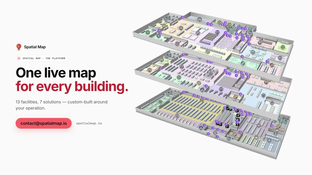
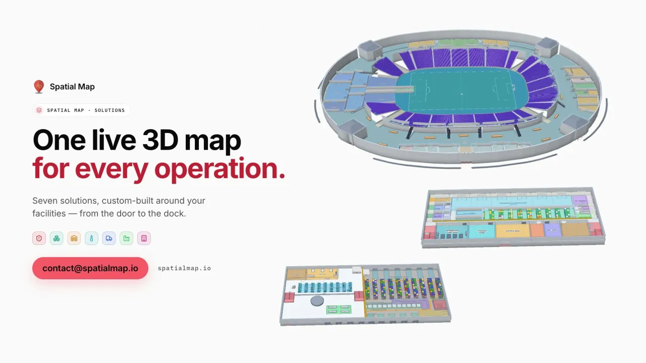
Three demo venues — Lakeside Convention Center, Silverbay Airport Terminal 2 and Crown Park Stadium — on one live map: crates dock to booth, rooms over capacity, a missing loan wheelchair and a leak under a concourse kiosk.
Music only, no voice-over. Filmed in the Spatial Map demo workspace: fictional facility names, real 3D renders and demo data.
In this film
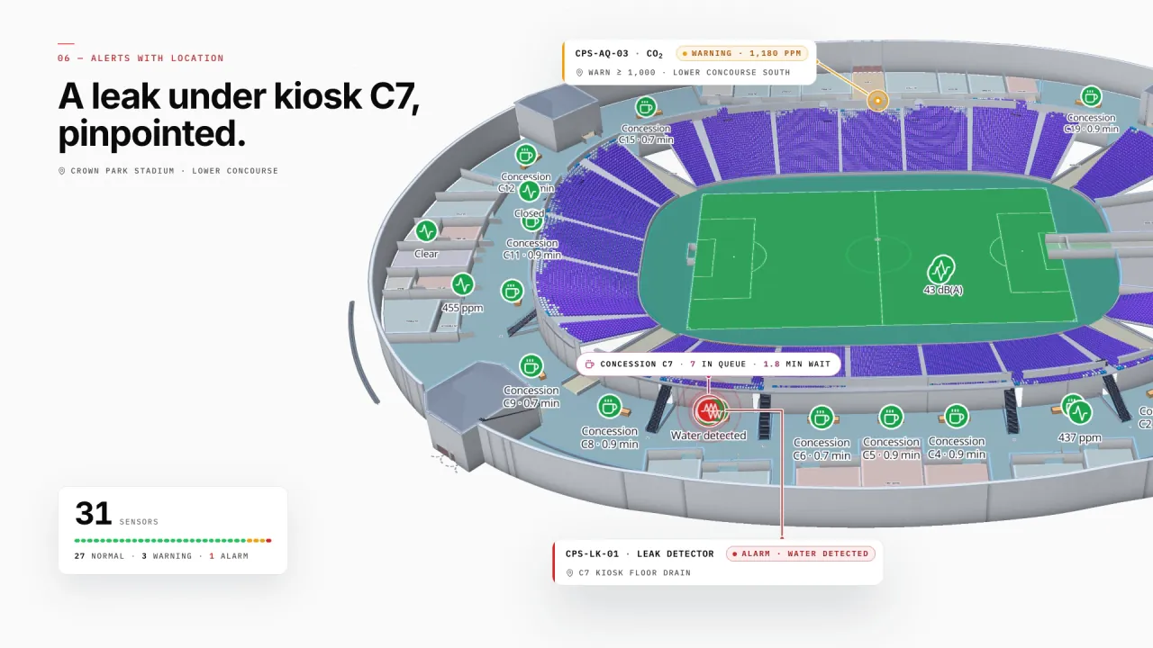
30,000+ seats, gates and concourses
Crown Park draws every seat as a cell in its seating section, with turnstiles, crowd counters, concessions, first aid and hospitality on the concourse map — and every concourse sensor where it sits, like the leak detector under kiosk C7.
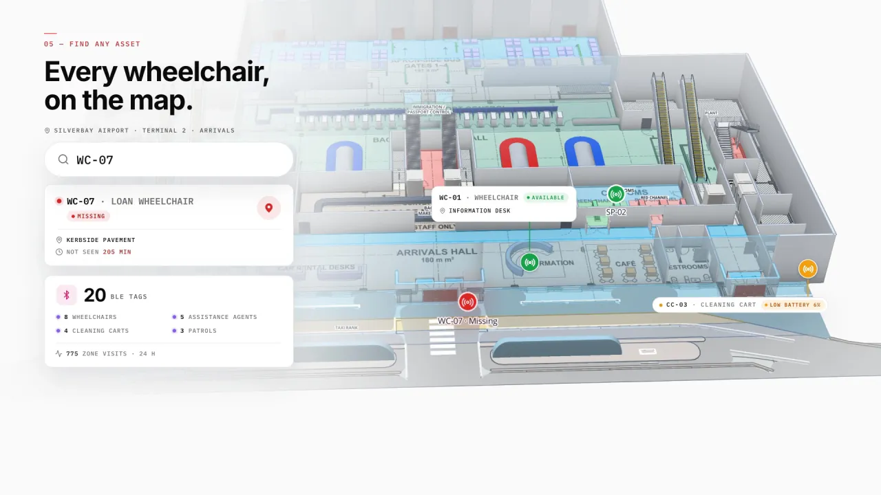
Check-in to gate in a terminal
Silverbay’s check-in islands, security lanes, immigration booths, gates and carousels report throughput and crowding, with lifts, escalators and jet-bridges between levels — and BLE-tagged wheelchairs and carts show where they were last seen.
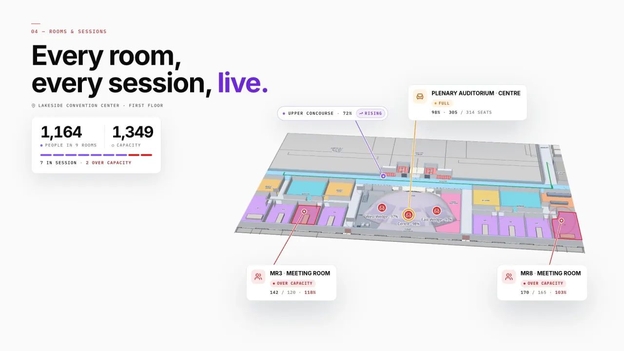
Halls, booths and sessions
At Lakeside, halls carry live occupancy, booths and session rooms their bookings, and registration, F&B and freight docks sit on the same map — so a room over capacity shows up mid-session.
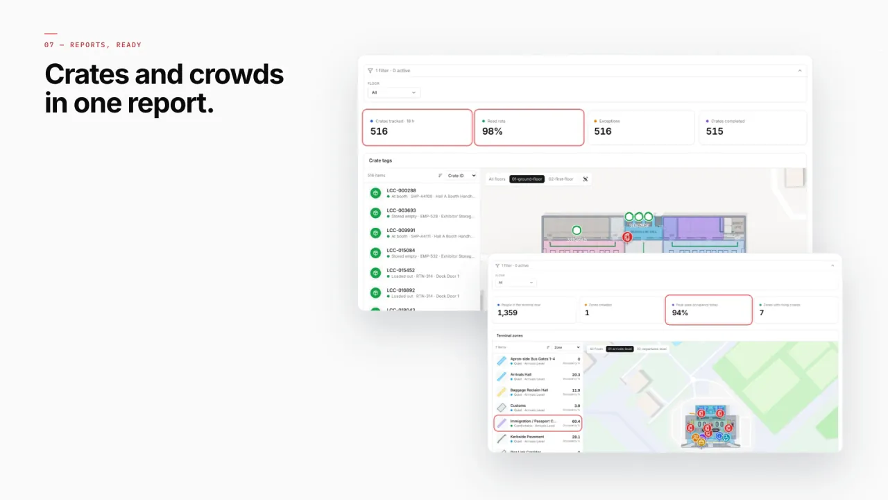
Crowds and crates in one report
Live counts, capacity and read rates by area, with the venue map beside them — the same widgets work for halls, concourses and terminal zones. Exports to PDF, Excel, CSV or JSON.