Austria · Österreich

Indoor mapping and RFID tracking software for Austria

Austria’s industry is built on suppliers and specialists: automotive components and complete vehicles from Styria, machinery and plant engineering in Upper Austria and beyond, timber and wood products from its forests, and logistics around Vienna facing the markets of Central and Eastern Europe. Spatial Map gives those plants, halls, sawmills and warehouses a live 3D map in the browser, in German for the floor team, fed by the RFID, BLE and sensor hardware already installed.

No credit card. Runs in the browser. Pro is $60/month for up to 4 facilities. Book a demo

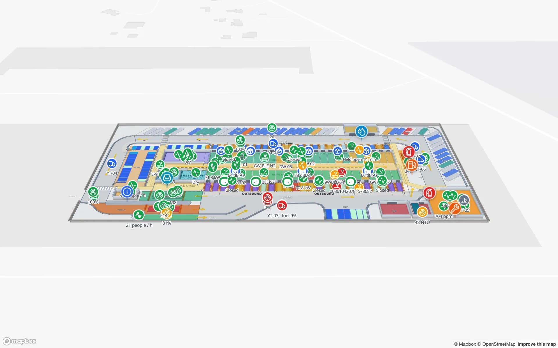
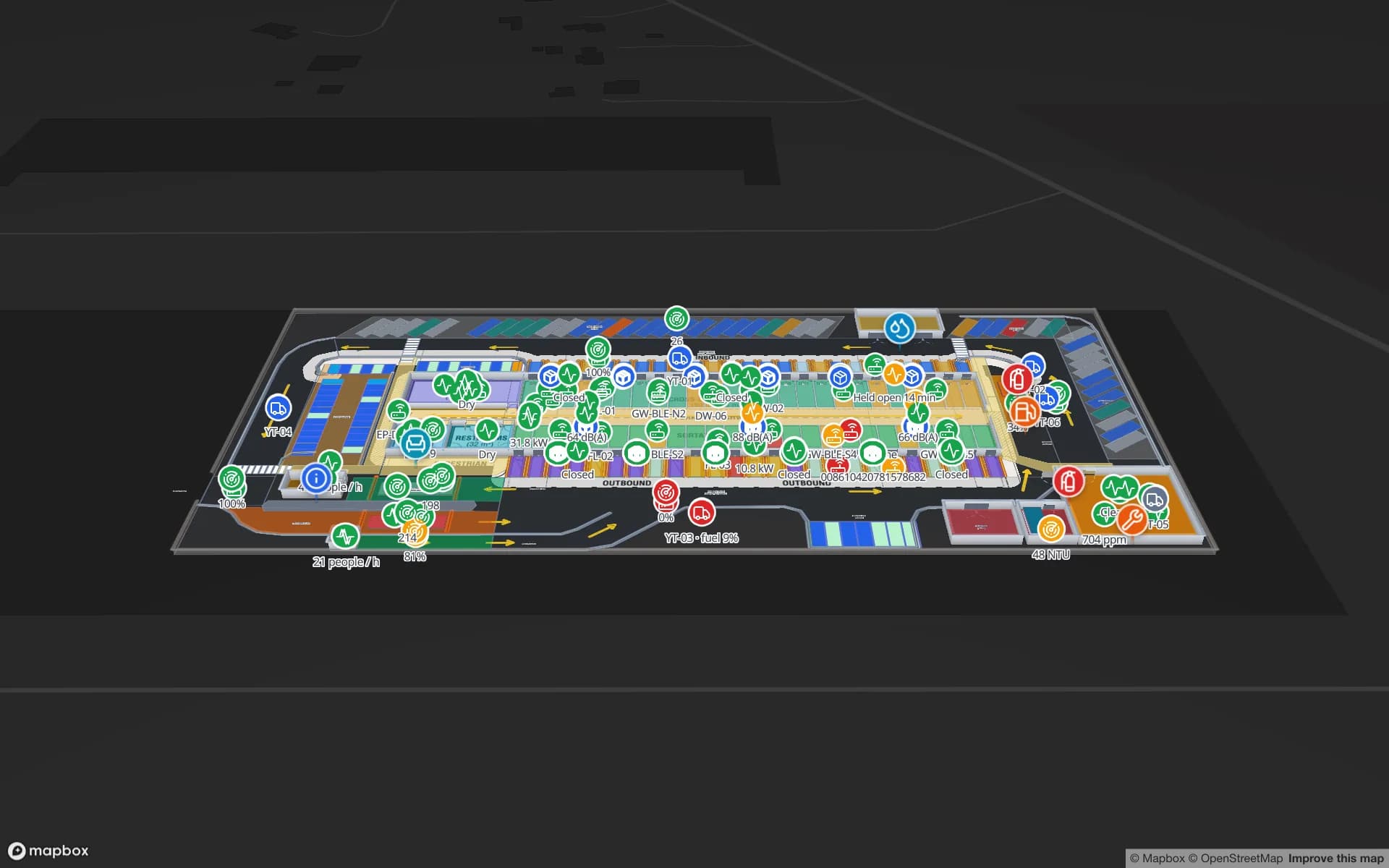
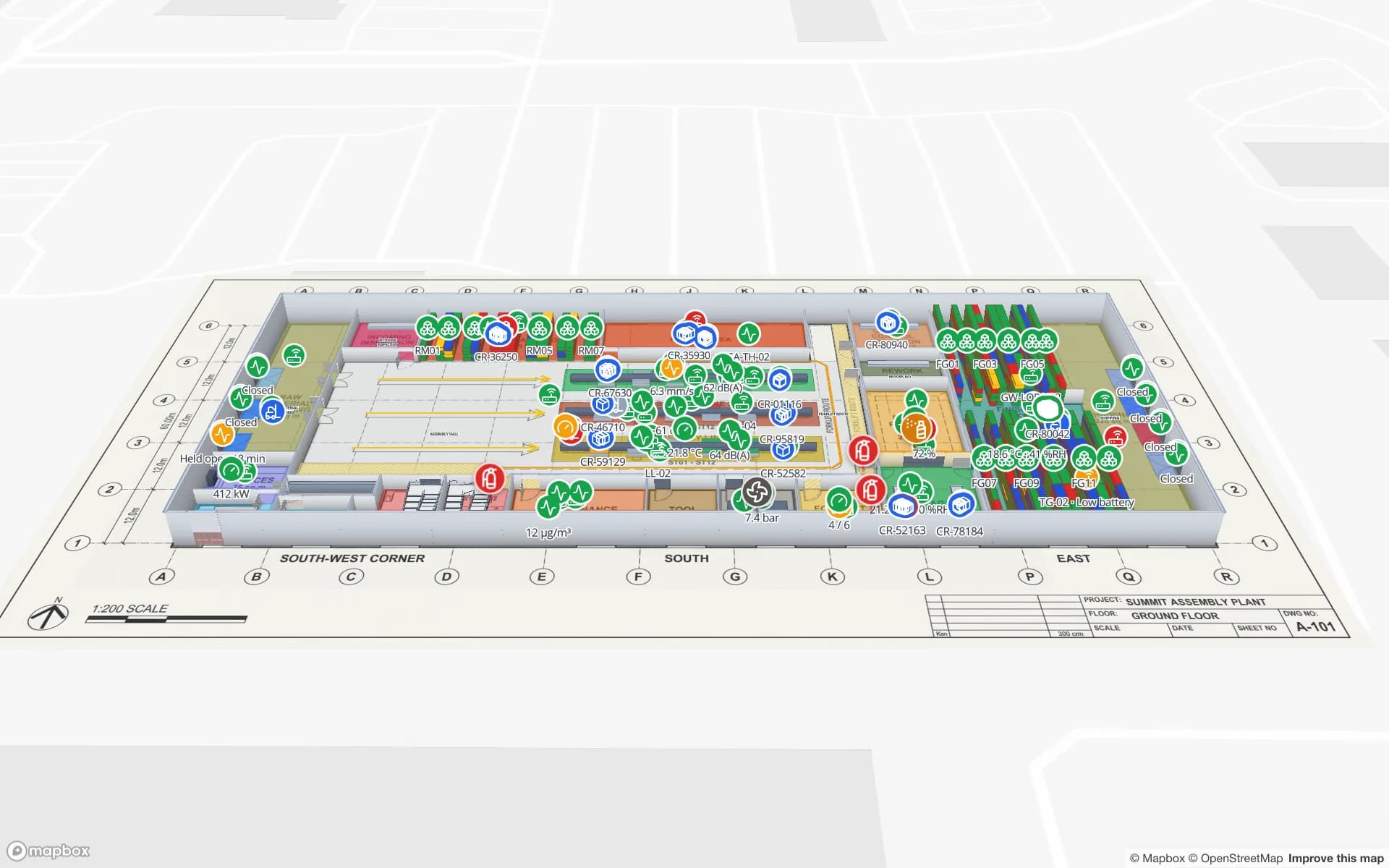
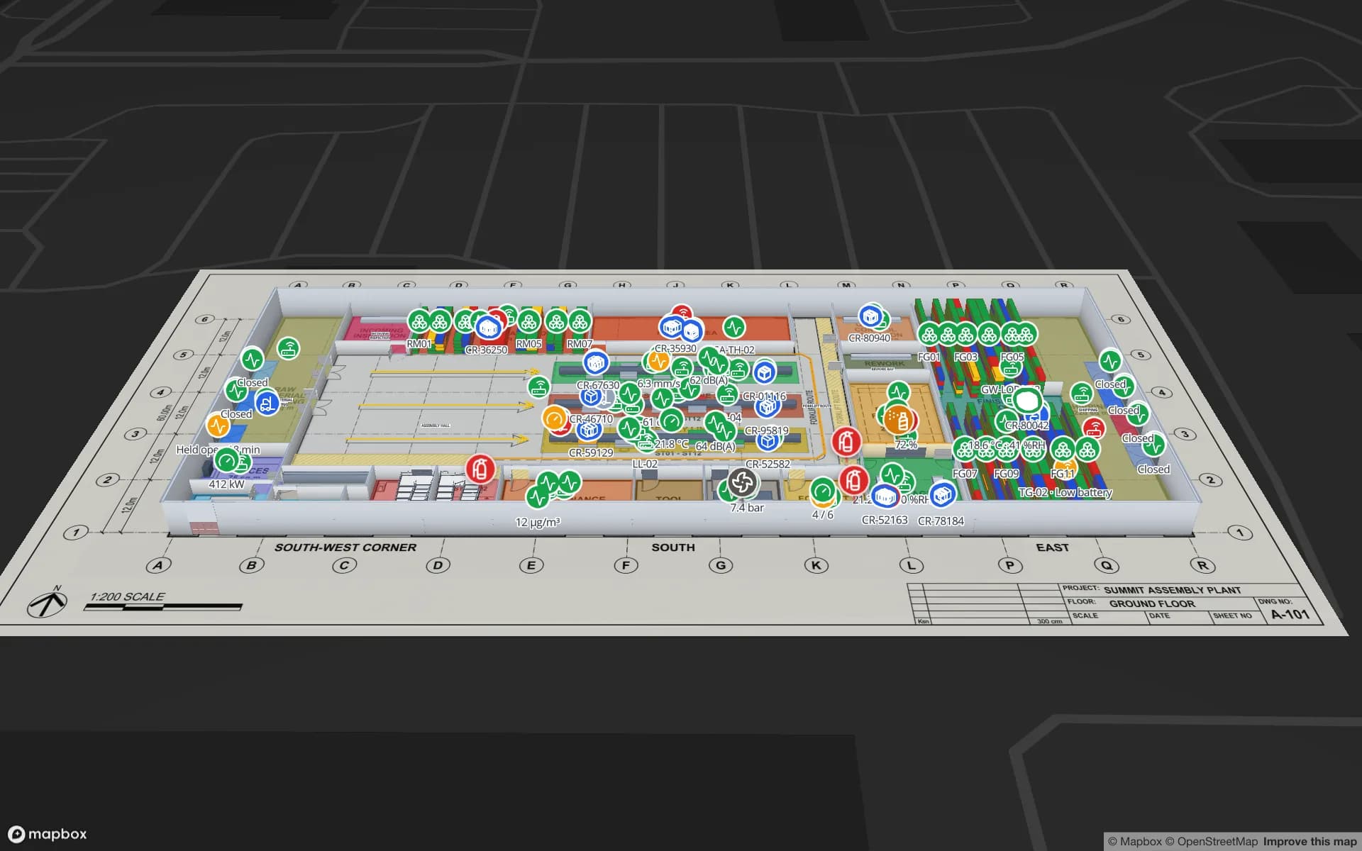
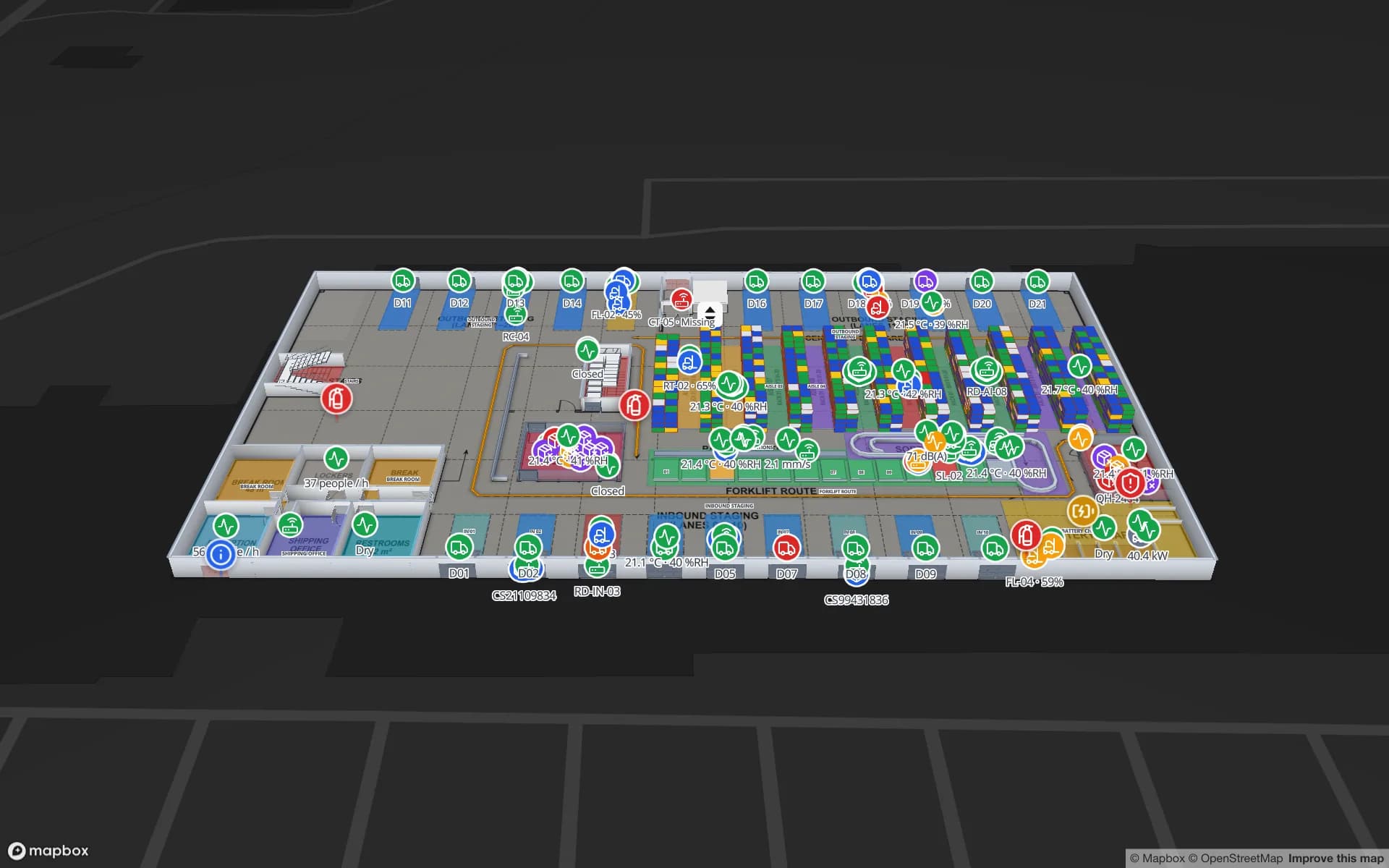
Summit Assembly Plant, a assembly plant demo, in the Spatial Map 3D viewer with live device markers
Summit Assembly Plant
Summit Assembly Plant, a demo plant: assembly lines and workstations, RFID WIP carriers between stations, 867 rack locations and the receiving and shipping docks.
German interface, alongside five other languages
Deutsch
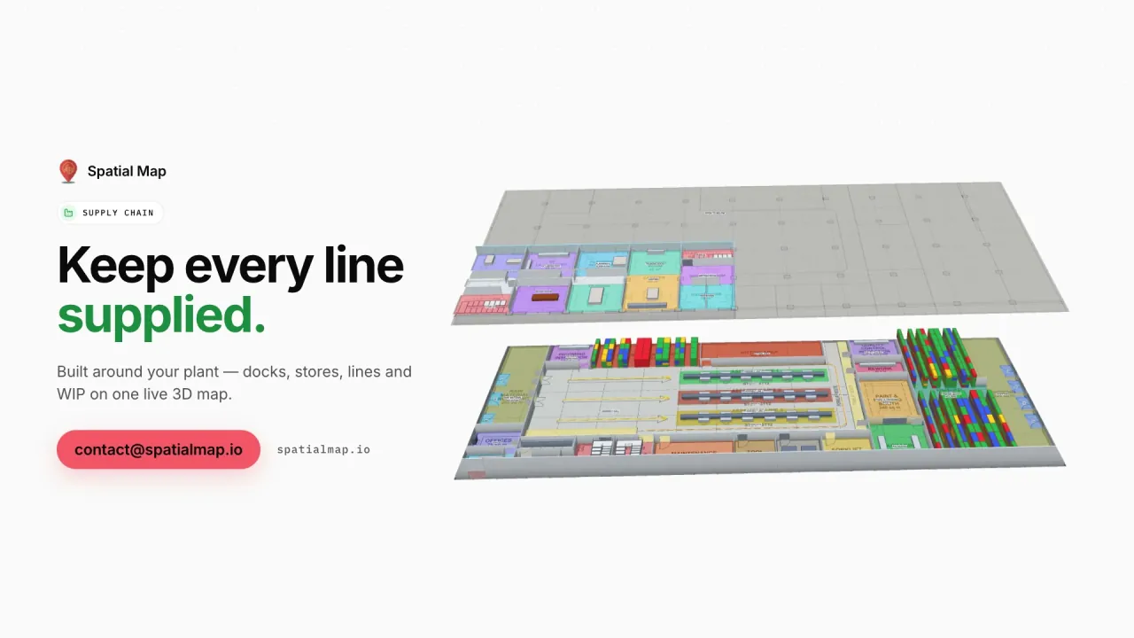
RFID WIP carriers in the Supply Chain film’s demo plant
351
Raw-material and finished-goods rack locations in the same demo
867
Free trial, up to 5 facilities
7 days

Styria’s automotive and supplier cluster

Around Graz, Styria hosts one of Europe’s densest automotive clusters: complete-vehicle contract manufacturing, drivetrain and electronics suppliers, and engineering service providers, with many more suppliers across Upper and Lower Austria. Most of what they make is exported, much of it to vehicle plants in Germany and Central Europe, delivered against call-offs and often in sequence.

For a supplier, the critical area is the outbound side: finished parts staged per customer and per call-off, customer-owned returnable containers that must not go missing, and sequenced racks that have to leave on time. Spatial Map draws those areas on the hall layout and fills them from your ERP and RFID data — containers read at each door, racks coloured by status, trucks at the dock. The Summit Assembly demo shows WIP carriers, 867 rack locations and the receiving and shipping docks.
Machinery and plant engineering

Machinery and plant engineering is one of Austria’s largest export industries, from machine tools and plastics machinery to equipment for steel, paper, energy and food plants. Much of it is built to order in assembly halls where one project can occupy a bay for weeks, and the bottlenecks are rarely on the drawing: a kit that is not complete, a purchased part still in goods-in, a test stand that is busy.

Spatial Map shows each bay coloured by project status from your ERP, with kits and purchased parts as RFID-tagged markers and shared tools or measuring equipment located by your BLE system. Row history in the detail drawer shows when a kit last moved, and the report builder turns the same data into a weekly hall overview exported to PDF or Excel.

Vienna, the Danube and the routes east

Vienna sits on the Danube and on road and rail corridors towards Czechia, Slovakia, Hungary and the Balkans, and many international companies run their Central and Eastern European distribution from the Vienna region. The Port of Vienna combines river, rail and road, and Linz is another Danube logistics hub further west.

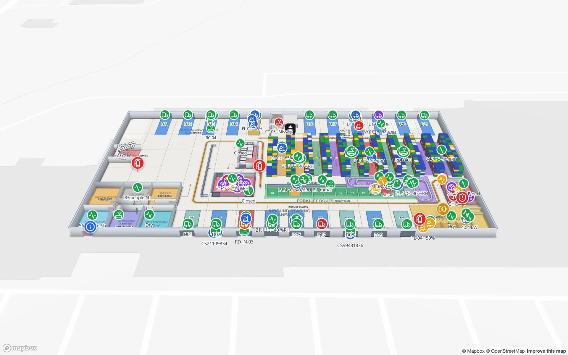
Distribution centres serving several countries benefit from one shared picture. Spatial Map shows rack locations coloured by stock from your WMS, RFID cartons and pallets followed to the dock, and trailers in the yard; read-only share links let a country organisation or a client see their part without an account. The Crestline Fulfillment and Eastport Cross-Dock demos show both sides.

Timber and wood processing

Forests cover almost half of Austria, and sawmills, panel producers, glulam and cross-laminated timber manufacturers and pellet plants turn that wood into products sold across Europe. Their sites combine large halls with outdoor yards, drying kilns and storage for finished packs.

Spatial Map maps the halls and the yard alongside them: kilns coloured by the temperature and humidity readings from your sensors, storage bays for finished packs coloured by stock from your ERP, and forklifts and loaders as live markers from your RTLS engine. A map of the whole site in one browser tab replaces the walk across the yard to check.

The works council and data protection

In Austria, the Labour Constitution Act (Arbeitsverfassungsgesetz, ArbVG) gives the works council (Betriebsrat) co-determination rights over control measures and technical systems used to monitor employees. Where such a system affects human dignity, it generally requires a works agreement (Betriebsvereinbarung) before it is introduced, and companies without a works council may need individual employee consent instead. Together with the GDPR and the Austrian Data Protection Act (DSG), this makes it sensible to define purpose and limits early. This is not legal advice; your legal advisers and works council decide the details.

Spatial Map keeps that discussion simple. Most plant projects tag containers, kits, tools and packs rather than people, and the map shows only the data you send it. Roles limit who sees a facility, share links expose only selected layers and floors, and every workspace is isolated. A data processing agreement is available and the security page explains how data is protected.

German interface and working with us from Austria

The app is available in German, alongside English, French, Spanish, Arabic and Chinese, and each user picks their own language; room names, rack codes and report titles stay exactly as you write them, Austrian terms included. Spatial Map is sold online at the same USD price worldwide, and our team works with customers in Austria remotely, by video call and through the contact form. Floor-plan digitisation and integration for larger sites are quoted as a fixed-price custom service in German or English. This page is also available in German.

How Spatial Map does it

From hall layout to live plant map

  1. 01

    Import the layout

    Upload the hall layout as a PDF or a DWG (AutoCAD R2004–R2018) and place it at real-world scale.

  2. 02

    Draw bays, racks and the yard

    Trace assembly bays, racks with their locations, docks, kilns and yard areas.

  3. 03

    Connect ERP, RFID and sensors

    Your integration layer posts rows to a table with the write API, or Spatial Map polls its REST endpoint.

  4. 04

    Run the hall on the map

    Live status, history playback, weekly reports in PDF or Excel, and read-only links for customers.

What Austrian teams use it for

Supplier outbound and sequencing

Finished parts staged per customer and call-off, with WIP carriers on the plant map.

Customer-owned returnables

RFID-tagged containers and racks followed from dock to line and back.

CEE distribution from Vienna

Rack-level stock, RFID cartons and the trailer yard for multi-country DCs.

Docks and yard

Dock doors, yard slots and the gate for inbound parts and outbound loads.

High-value components

Secure stores, access points and tagged units read at every choke point.

See it on real demo facilities

Fictional names, real floor plans, live sensors, RFID, BLE tags and gateways — open any of them in the browser.

All 13 demo facilities

Questions from Austrian teams

Yes. The app ships in German alongside English, French, Spanish, Arabic and Chinese, and each user picks their own language. Your own content — room names, columns, report titles — stays as you write it.

If the system is used to monitor employees and affects human dignity, the ArbVG generally requires a works agreement before it is introduced; your legal advisers and works council decide the details. Projects that tag only containers, kits, tools and packs usually raise fewer questions, and Spatial Map shows only the data you send it.

Yes, through the three ways data comes in: a REST endpoint polled on a schedule (JSON, GeoJSON or CSV), file uploads (CSV, Excel, JSON, GeoJSON), or the table write API (HTTPS, bearer API key, bulk upsert, 60 requests per minute per key). Your integration layer delivers the rows; Spatial Map contains no device drivers.

Yes. DWG files from AutoCAD R2004–R2018 are placed as a picture at real-world units, and PDFs are scaled from standard sheet sizes. DXF is not supported; export a PDF or DWG instead.

No. Spatial Map is sold online and our team works with customers remotely, by video call and through the contact form, in German or English.

No. Pricing is the same worldwide and in US dollars: a 7-day free trial for up to 5 facilities, then Pro at $60 a month or $600 a year for up to 4 facilities. Larger estates are quoted as custom services.

Map your first Austrian plant this week.

Start the free trial in German or English, or send us a hall layout and a sample of your ERP or RFID data through the contact form.