Finland · Suomi

Indoor mapping and RFID tracking software for Finland

Finland exports much of what it makes — paper, board, pulp and sawn timber, machinery and electronics — and most of it waits in a large warehouse or port terminal before it leaves. Spatial Map turns those buildings into live 3D maps in the browser: storage lanes for reels and bales, component racks, dock doors and the yard, fed by the RFID, sensor and warehouse systems already on site. The interface is in English; it is not available in Finnish or Swedish.

No credit card. Runs in the browser. Pro is $60/month for up to 4 facilities. Book a demo

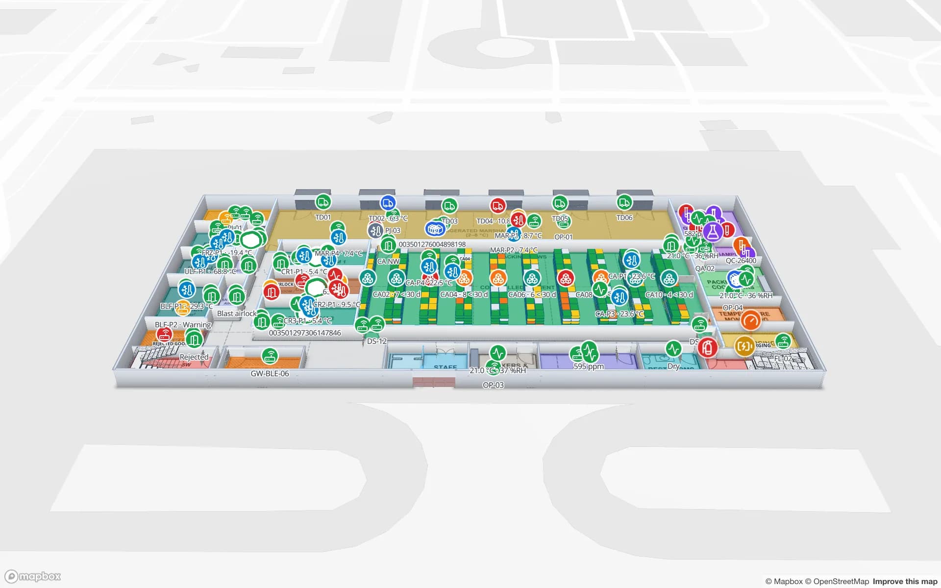
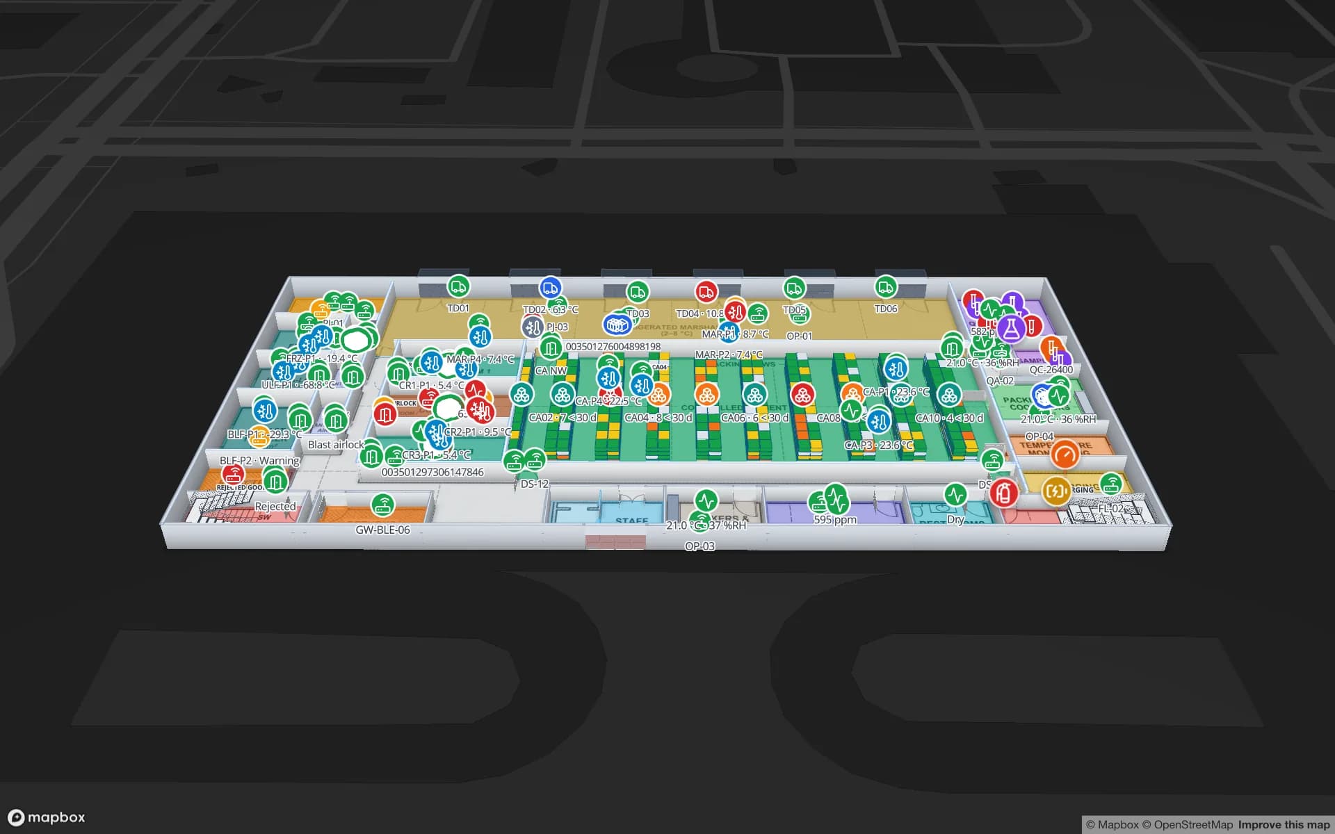
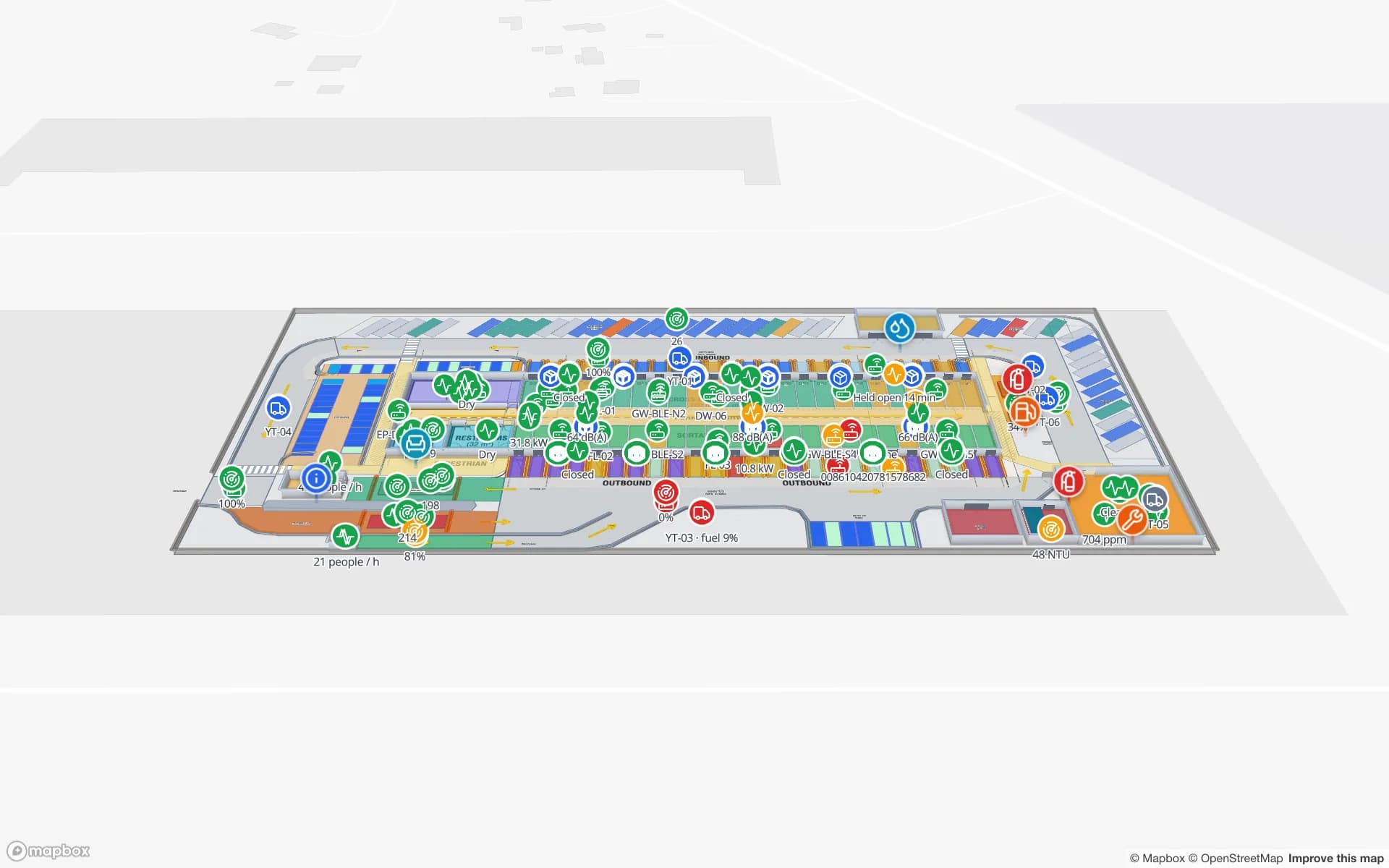
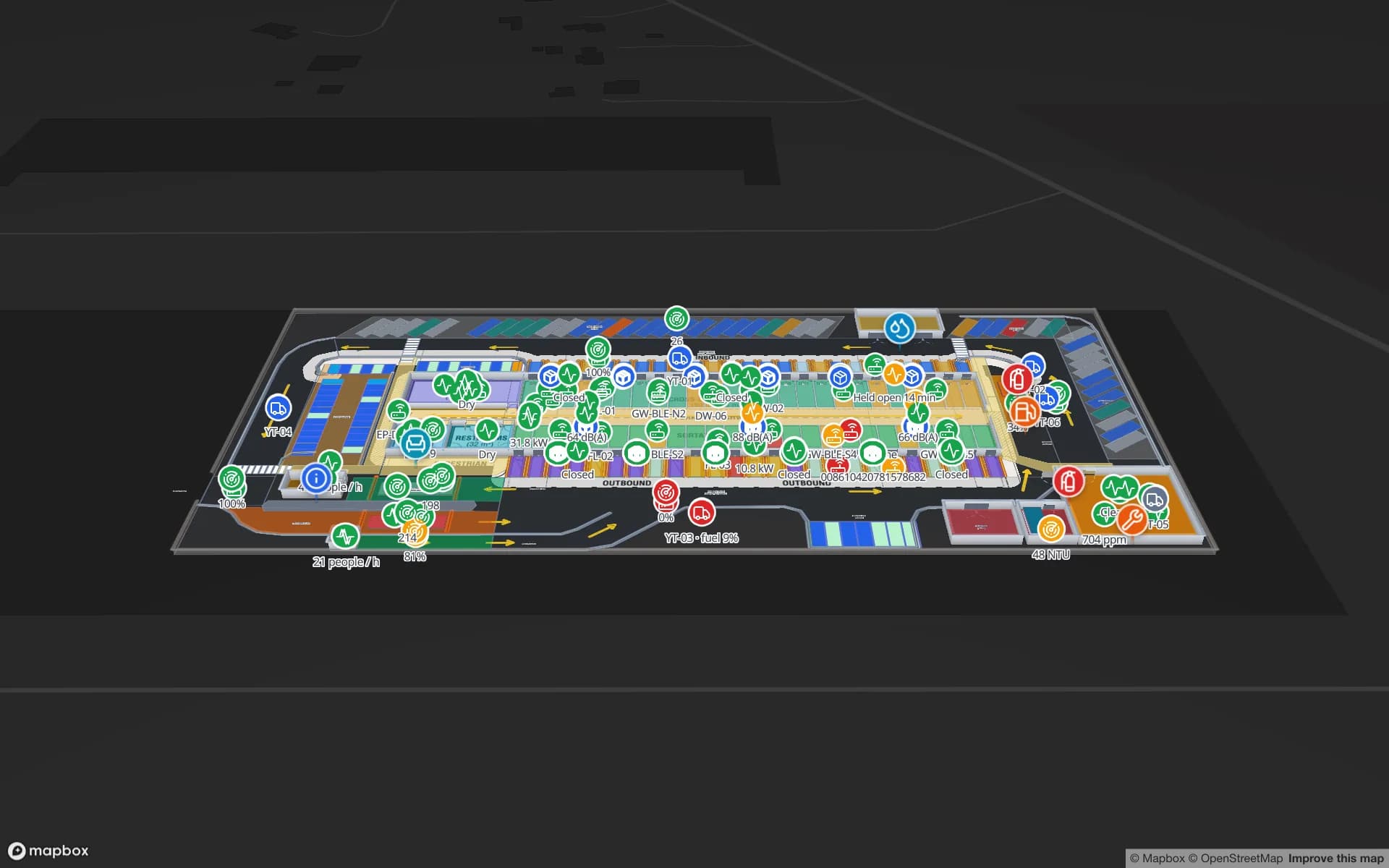
Eastport Cross-Dock Freight Hub, a cross-dock & trailer yard demo, in the Spatial Map 3D viewer with live device markers
Eastport Cross-Dock Freight Hub
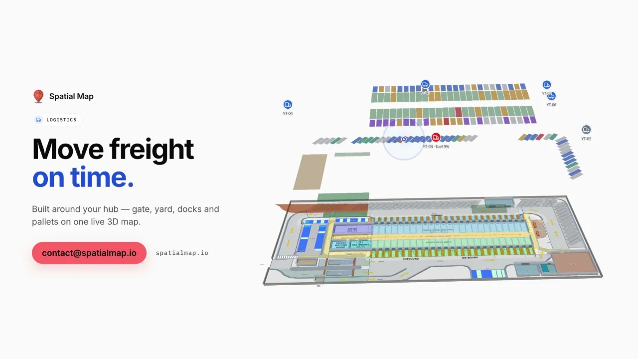
Eastport Cross-Dock, a demo freight hub: 50 dock doors, 44 yard slots, the gate and weighbridge, and 1,180 RFID pallets on one live map.
Dock doors in the Eastport Cross-Dock demo
50
Yard slots, with gate and weighbridge, in the same demo
44
Interface language for Finnish teams (Finnish and Swedish not available)
English
Free trial, up to 5 facilities
7 days

Forest industry: reels, bales and timber packages

The forest industry has long been one of Finland’s main export sectors. Mills and port terminals store paper and board reels, pulp bales and sawn-timber packages in very large warehouses, usually floor-stacked by clamp truck in numbered lanes rather than in racks. The questions on every shift are the same: which lane holds this reel or lot, which loads are complete for the next vessel or train, and what has been waiting too long.

In Spatial Map, each storage lane and bay is drawn as an area on the warehouse plan and named the way your warehouse system names it. When that system records a reel or bale in a lane, the row colours the lane by fill level, destination or age, and each lot’s latest location and its history open in the detail drawer. The goods do not need tags for this to work — a lane assignment from the warehouse system is enough. Where reels or loads are read by RFID at doors or on trucks, those reads arrive the same way, through your middleware.
HaminaKotka, Helsinki and the export terminals

The Port of HaminaKotka on the south-east coast is one of Finland’s largest export ports, and the Port of Helsinki links the capital region to the rest of the Baltic with frequent ferry and ro-ro sailings. Warehouses and terminals around them handle forest products, containers, trailers and project cargo, with gates and weighbridges at the entrance and tight cut-offs before each departure.

The Eastport Cross-Dock demo shows that pattern on one live map: dock doors with their turns, yard slots, the gate and weighbridge, and RFID pallets moving through the building. A port warehouse works the same way — your terminal, gate or warehouse system posts rows to a Spatial Map table, or exposes a REST endpoint that Spatial Map polls on a schedule, and doors, yard slots and lanes take their colour from the data.

Technology and electronics manufacturing

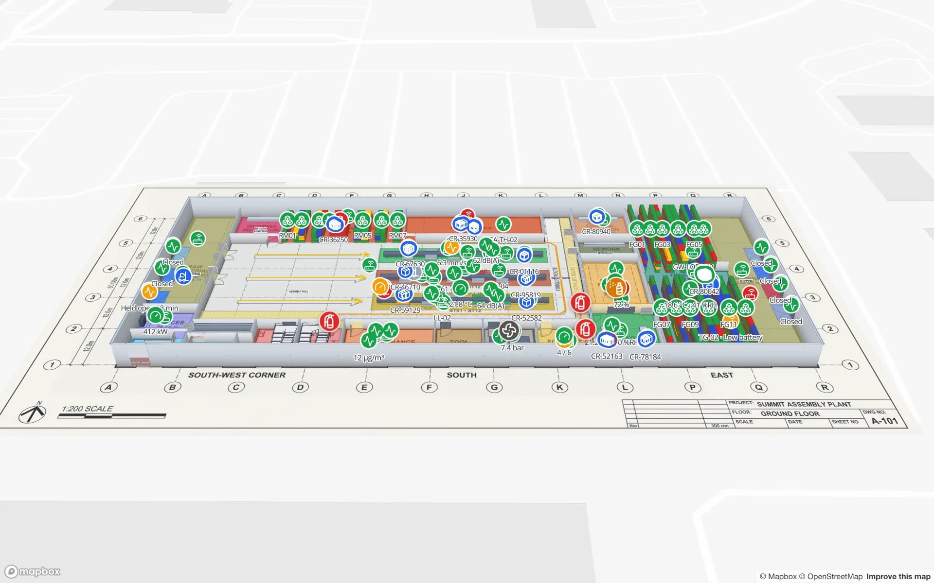
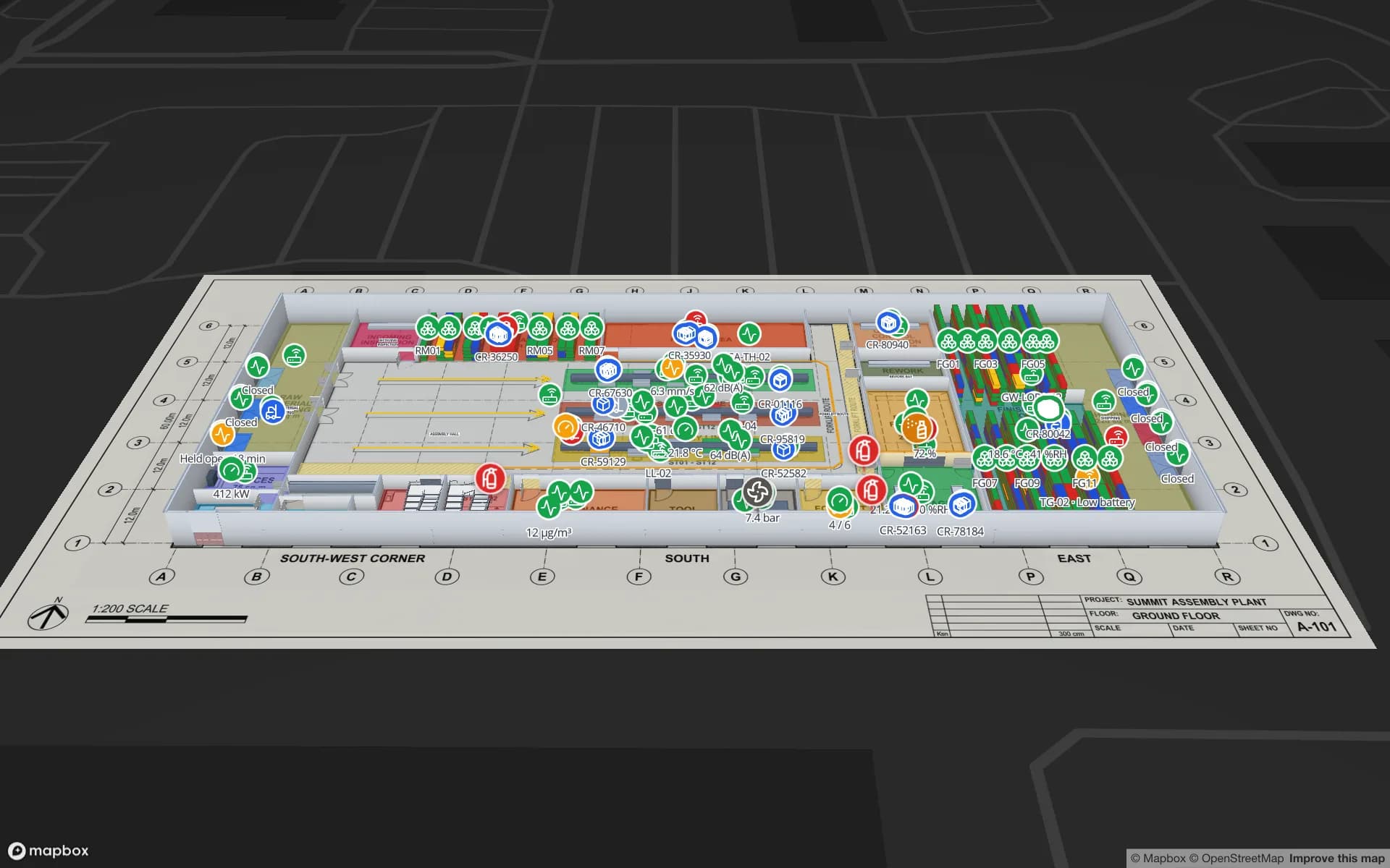
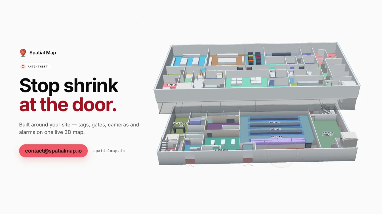
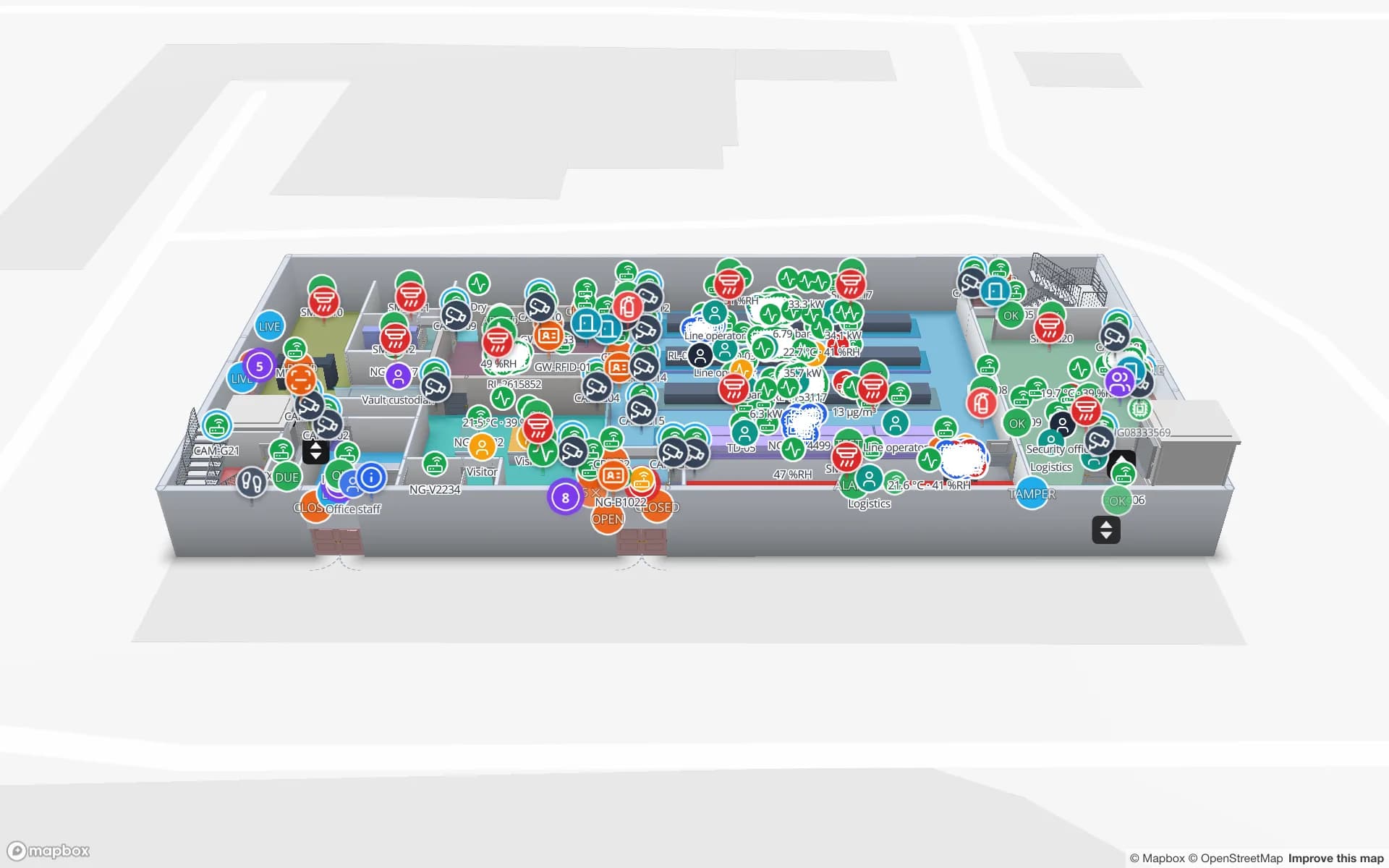
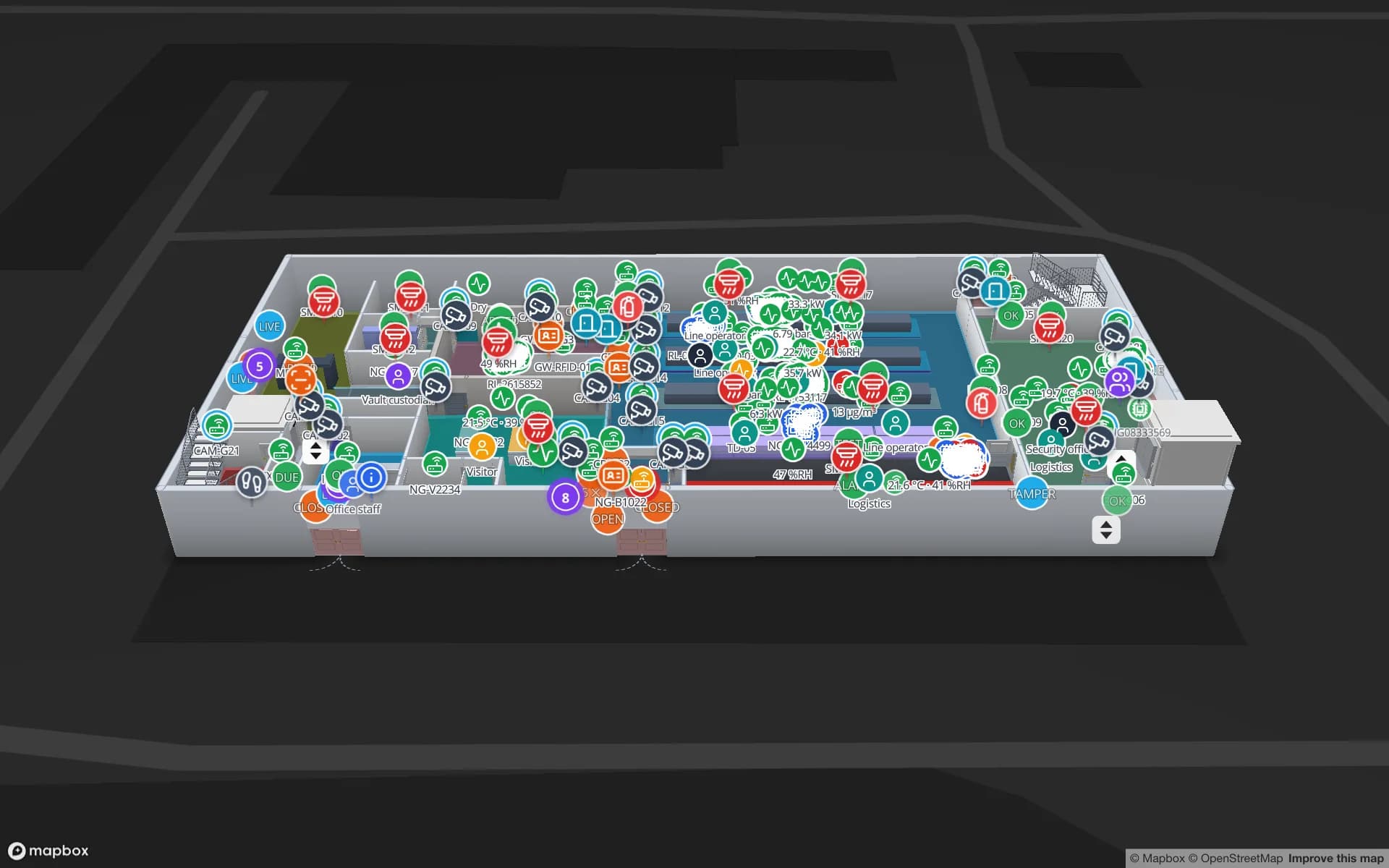
Finland also builds telecom equipment, electronics, machinery and instruments, often in plants where component stores, test areas and finished goods sit close together. Components are valuable, small and easy to misplace, so many sites tag them or the carriers they travel in. The Northgate Electronics demo follows 863 RFID-tagged units through security zones, access points and a secure store on two floors, and Summit Assembly shows lines, work in progress and 867 rack locations. See RFID tracking software for how reads become positions on the map.

Winter: the cold chain in reverse

In a Finnish winter the risk is not only goods getting too warm but goods freezing. Beverages, paints, adhesives, some chemicals and many medicines must be kept above freezing in storage and transit, while loading docks, unheated annexes and trailers waiting in the yard can drop far below zero. Grocery distribution centres, meanwhile, run chilled and frozen zones next to ambient ones all year, for retail chains spread across a long country.

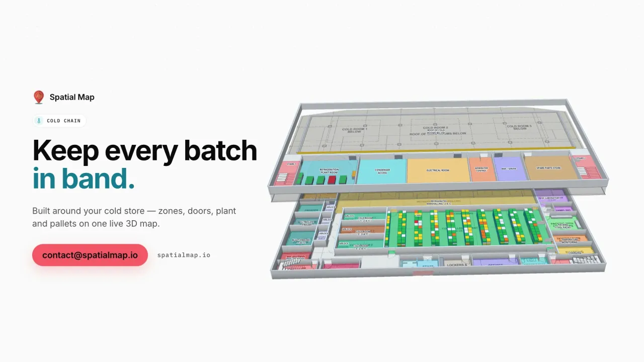
Spatial Map handles both directions the same way. Rooms, zones and docks are coloured by the live reading from your sensors, with style rules for each band — too cold as well as too warm — door sensors show which dock is open, and the History player replays the night before for the morning shift. Spatial Map shows the state on the map and in reports; it does not send notifications, so the thresholds that wake someone up stay in your monitoring system. IoT sensor monitoring explains the set-up.

Privacy in working life, language and working with us

Location data that can be linked to a person is personal data under the GDPR. In Finland, the Act on the Protection of Privacy in Working Life and the rules on co-operation between employers and staff mean that the purpose and methods of technical monitoring are typically handled with employee representatives before a system is introduced; your legal advisers decide what applies to your project. Most Finnish projects start with reels, pallets, carriers and equipment rather than people. A data processing agreement is available, and the security page explains how data is protected.

The interface is available in English, German, French, Spanish, Arabic and Chinese — not in Finnish or Swedish — and Finnish teams typically work in English. Lane names, rack codes and report titles stay in Finnish, ä and ö included, exactly as you type them. Spatial Map is sold online at the same USD price worldwide, and our team works with customers in Finland remotely, by video call and through the contact form.

How Spatial Map does it

From terminal drawing to live warehouse map

  1. 01

    Import the drawing

    Upload the warehouse or terminal plan as a PDF or a DWG (AutoCAD R2004–R2018) and place it at real-world scale.

  2. 02

    Draw lanes, racks and docks

    Trace storage lanes and bays, racks with their locations, dock doors, yard slots and heated or cold rooms.

  3. 03

    Connect WMS, gate and sensors

    Your systems post rows to a table with the write API, upload CSV or Excel, or expose a REST endpoint Spatial Map polls.

  4. 04

    Run the shift on the map

    Live lanes and docks, history playback, reports in PDF or Excel, and read-only links for shipping agents.

What Finnish teams use it for

Reel, bale and timber storage lanes

Lanes coloured by fill, destination or age from the warehouse system, with each lot’s history.

Port warehouses and the gate

Dock doors, yard slots, gate and weighbridge before each vessel or train cut-off.

Electronics components and secure stores

RFID-tagged units read zone by zone through access points and a secure store.

Frost-free and cold rooms

Zones coloured by live temperature, with bands for too cold as well as too warm.

Plant supply and work in progress

Lines, kits and carriers on the plant layout, from goods-in to the test area.

See it on real demo facilities

Fictional names, real floor plans, live sensors, RFID, BLE tags and gateways — open any of them in the browser.

All 13 demo facilities

Questions from Finnish teams

No. The app is available in English, German, French, Spanish, Arabic and Chinese, and Finnish teams typically use it in English. Your own content — lane names, rack codes, column names, report titles — can be in Finnish or Swedish and appears on the map and in reports exactly as you type it.

No. If your warehouse system records which lane or bay each reel, bale or package is in, that data alone colours the lanes and shows each lot’s location. RFID reads, where you have them, are added through your middleware posting rows to a table or exposing a REST endpoint that Spatial Map polls.

Yes. Readings from your sensors colour rooms, zones and docks with style rules, and you can define a band for too cold as well as too warm. Spatial Map shows the state on the map and in exported reports; it does not send notifications, so your existing monitoring system remains responsible for call-outs.

Location data linked to a person is personal data under the GDPR, and Finnish rules on privacy in working life and on co-operation with staff typically mean technical monitoring is handled with employee representatives first; your legal advisers decide. Most teams start by tracking goods and equipment, and Spatial Map only shows the data you send it.

No. Spatial Map is sold online, nothing is installed on site, and our team works with Finnish customers remotely — by video call and through the contact form.

The same worldwide, in US dollars: a 7-day free trial for up to 5 facilities, then Pro at $60 a month or $600 a year for up to 4 facilities. Larger estates are quoted as custom services.

Map your first Finnish site this week.

Start the free trial, or send us a warehouse or terminal drawing and a sample of your lane or sensor data through the contact form.